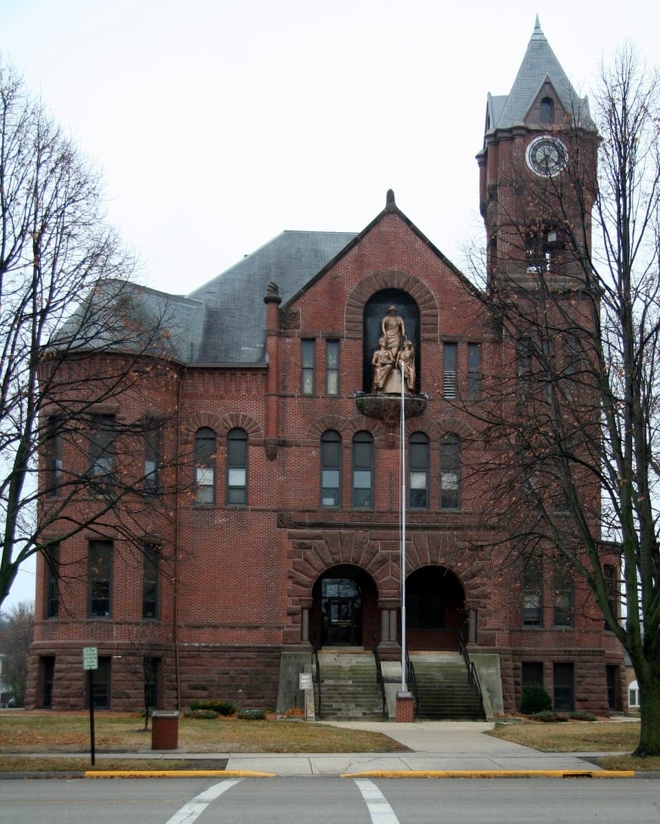
Photo: Wikipedia
Strategic Assessment of Steele County
Strong survivability profile. Good buffer from population centers, with manageable environmental and tactical risks.
What does the Strategic Assessment tell us?
Our Strategic Assessment grades tactical survivability of an area. Major population centers, military targets, fallout zones, natural disasters, and border exposure all drive risk — lower exposure means a more defensible position in a crisis.
This is heavily inspired by Joel Skousen's Strategic Relocation book. Highly recommended you checkout the book ($)What does this tell us?
Our Strategic Assessment grades tactical survivability of an area. Major population centers, military targets, fallout zones, natural disasters, and border exposure all drive risk — lower exposure means a more defensible position in a crisis.
This is heavily inspired by Joel Skousen's Strategic Relocation book. Highly recommended you checkout the book ($)Strategic Pillars

Key Distances
Strategic Assessment Analysis
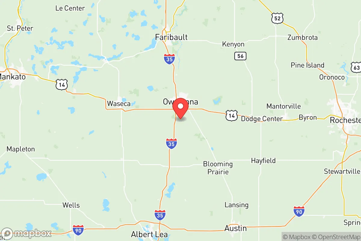
Steele County, Minnesota, offers a compelling blend of Midwestern stability and strategic depth for those prioritizing resilience and self-sufficiency. Anchored by the city of Owatonna, the county sits at the intersection of Interstate 35 and Highway 14, providing efficient access to the Twin Cities (roughly 60 miles north) and Rochester (40 miles east) while remaining far enough removed from their concentrated risks. This positioning, combined with a robust agricultural base and a historically stable community, makes Steele County a serious contender for relocation-minded individuals and families who value preparedness without embracing isolation.
Geographic position and natural advantages for long-term stability
Steele County’s geography is defined by its position in the southern part of the state, within the transition zone between the tallgrass prairie and the Big Woods region. This area is characterized by gently rolling terrain, fertile soils, and a temperate climate that supports reliable crop production. The county is drained by the Straight River and the Maple River, both tributaries of the Shell Rock River, which provide consistent surface water sources. The land is not prone to major seismic activity, hurricanes, or wildfires, and while tornadoes are a seasonal risk (part of the broader "Tornado Alley" fringe), the county’s relatively low population density and dispersed settlement pattern reduce the likelihood of catastrophic infrastructure loss. The natural advantages here are subtle but real: a long growing season relative to northern Minnesota, ample groundwater from the Jordan and St. Peter aquifers, and a landscape that offers both arable land and natural windbreaks from remnant woodlots and shelterbelts.
Risks, exposures, and proximity to fallout-relevant landmarks
No resilience assessment is complete without a clear-eyed look at vulnerabilities. Steele County’s primary man-made risk stems from its position along the I-35 corridor, a major north-south transportation artery that carries hazardous materials, including crude oil from the Bakken fields and refined fuels from the Twin Cities. A derailment or truck accident involving these materials could affect local water sources or air quality, though the county’s emergency response infrastructure in Owatonna is well-regarded. More significantly, the county is within 100 miles of the Prairie Island Indian Community’s nuclear generating plant (near Red Wing, MN), which is a single-unit pressurized water reactor. While the plant has a strong safety record, its proximity means that a worst-case scenario could place Steele County in a downwind plume path, depending on weather conditions. Additionally, the county is roughly 90 miles from the Minneapolis-St. Paul International Airport and the associated concentration of logistics and fuel storage hubs. For the resilience-minded reader, these are not deal-breakers but factors that underscore the importance of having a well-stocked shelter and a plan for potential evacuation or shelter-in-place. The county’s distance from major military installations (Fort McCoy in Wisconsin is about 150 miles east) and large-scale refineries (the Pine Bend Refinery near St. Paul is about 70 miles north) is actually a net positive, as it reduces the likelihood of being a secondary target or experiencing cascading infrastructure failures.
Practical resilience for a relocator: food, water, energy, and defensibility
Steele County excels in the fundamentals of practical self-sufficiency. The county is part of one of the most productive agricultural regions in the Upper Midwest, with corn, soybeans, and dairy operations dominating the landscape. For a relocator, this means access to local food sources through farmers’ markets, CSAs, and direct relationships with producers in towns like Blooming Prairie, Medford, and Ellendale. The county’s water supply is drawn primarily from groundwater, with the city of Owatonna operating a wellfield that taps into the Jordan aquifer—a deep, confined aquifer that is less susceptible to surface contamination than shallow wells. Rural properties typically have private wells, and the water table is generally high enough to support hand-pumps or solar-powered pumps for off-grid scenarios. Energy resilience is mixed: the county is served by the Southern Minnesota Municipal Power Agency, which draws from a mix of coal, natural gas, and renewables. However, the area has growing interest in community solar gardens and small-scale wind, and many rural homes already have backup generators. Defensibility is a strong point—the county’s terrain is open enough to provide good lines of sight, but the scattered woodlots and river valleys offer natural cover. The population density is low enough that a well-chosen rural property with a long driveway and a good well can offer genuine operational security. Owatonna itself has a strong sense of community and a capable local government, which translates into better-than-average emergency services and mutual aid agreements with surrounding counties.
The overall strategic picture for Steele County is one of balanced, low-drama resilience. It lacks the dramatic natural defenses of mountainous regions or the extreme isolation of the Great Plains, but it compensates with a stable climate, abundant water, productive soil, and a community that still values neighborly self-reliance. For the relocator who wants to be within a few hours of urban resources while maintaining a defensible, self-sufficient homestead, Steele County represents a rational choice. It is not a bug-out location for the prepper seeking total isolation, but rather a sustainable base for the long-term thinker who understands that resilience is built through community, local knowledge, and a solid piece of land. The county’s quiet strength lies in its ordinariness—it is the kind of place where a well-prepared family can thrive without constantly looking over their shoulder.

* Values derived from national, state, county, city and local statistics and may differ in a specific area. Last updated: 2026-06-16T10:57:55.000Z
Narrative content on this page is AI-generated and may contain mistakes. Verify any details that matter before acting on them.
ReloMaps may earn a commission from affiliate links at no extra cost to you.

