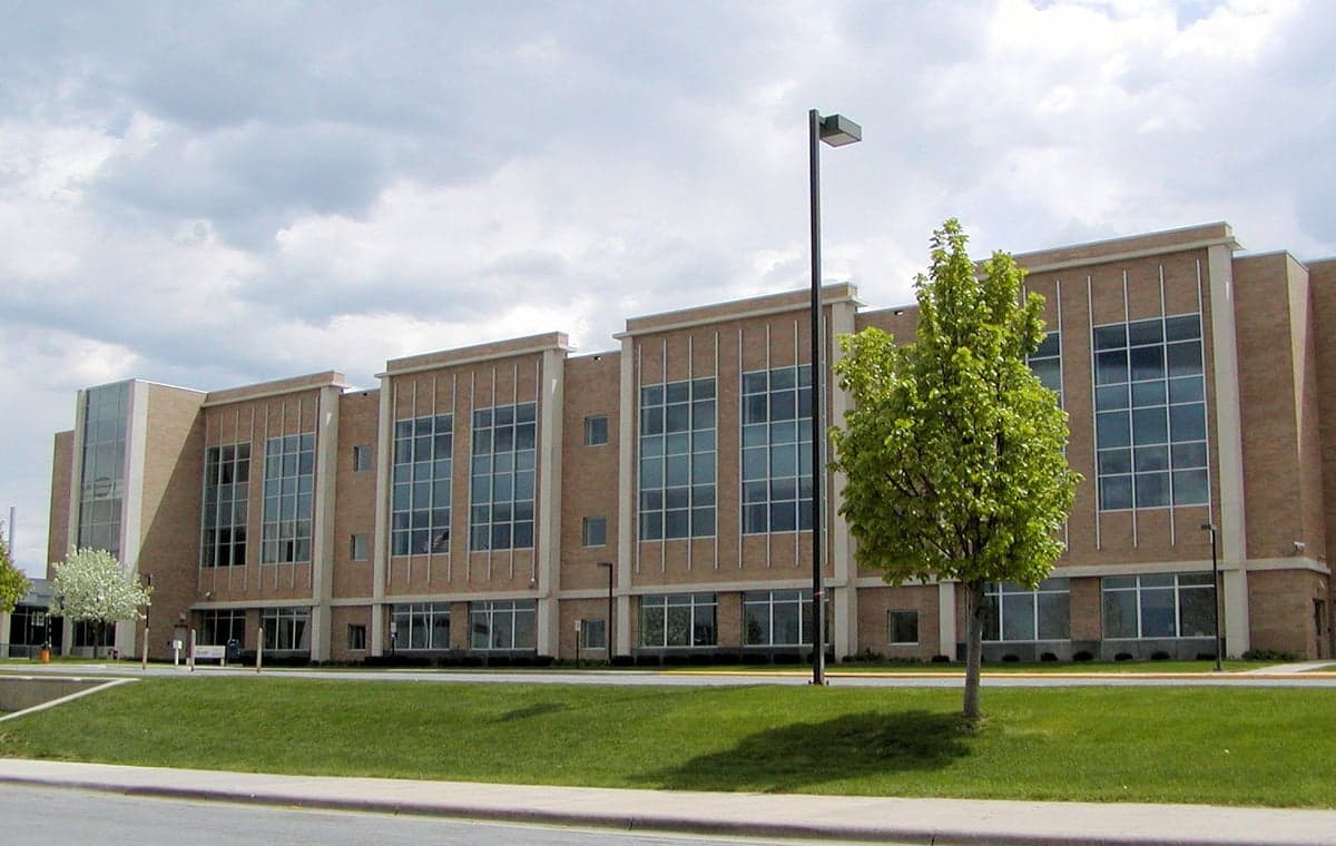
Photo: Wikipedia
Strategic Assessment of Scott County
Meaningful friction. Expect exposure to either population pressure, blast zones, or natural disaster risk. Consider buying a retreat property.
What does the Strategic Assessment tell us?
Our Strategic Assessment grades tactical survivability of an area. Major population centers, military targets, fallout zones, natural disasters, and border exposure all drive risk — lower exposure means a more defensible position in a crisis.
This is heavily inspired by Joel Skousen's Strategic Relocation book. Highly recommended you checkout the book ($)What does this tell us?
Our Strategic Assessment grades tactical survivability of an area. Major population centers, military targets, fallout zones, natural disasters, and border exposure all drive risk — lower exposure means a more defensible position in a crisis.
This is heavily inspired by Joel Skousen's Strategic Relocation book. Highly recommended you checkout the book ($)Strategic Pillars

Key Distances
Strategic Assessment Analysis
Scott County, Minnesota, offers a compelling mix of geographic stability and strategic positioning that appeals to relocation-minded individuals and families with a conservative, self-reliant outlook. Located along the Minnesota River Valley southwest of the Twin Cities, the county combines access to major urban resources with a distinctly rural and suburban character that supports a preparedness-oriented lifestyle. The county's resilience profile is shaped by its distance from high-density urban cores, its agricultural base, and its relative insulation from the most severe natural and man-made threats that plague other parts of the country.
Geographic position and natural advantages for long-term stability
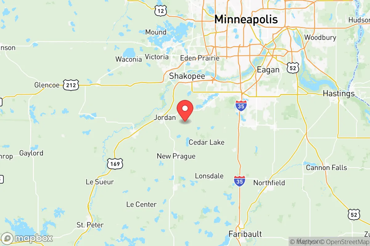
Scott County sits at a strategic midpoint between the urban center of Minneapolis-St. Paul and the more sparsely populated agricultural regions of southern Minnesota. The county seat, Shakopee, lies roughly 25 miles southwest of downtown Minneapolis, while communities like Jordan, Belle Plaine, and New Prague push further into the countryside. This positioning gives residents the ability to access employment and medical infrastructure in the metro area while maintaining a home base that is far enough removed to avoid the worst of a metropolitan crisis. The Minnesota River cuts through the county, providing a natural water source and a corridor of green space that also serves as a geographic buffer. The county's terrain is gently rolling, with no significant floodplain exposure outside of the immediate river bottoms, and the area sits well away from major fault lines, hurricane zones, and wildfire corridors. The local climate, while cold, is predictable and manageable with proper preparation, and the region's deep topsoil supports robust agriculture — a long-term advantage for food security.
Risks, exposures, and proximity to fallout-relevant landmarks
Scott County's primary risk exposure comes from its proximity to the Twin Cities metropolitan area, which is a potential target for both conventional and strategic threats. The county lies within roughly 30 miles of Minneapolis-St. Paul International Airport and the region's major transportation and logistics hubs, including rail yards and interstate corridors that could be secondary targets. Additionally, the county is within 100 miles of Fort McCoy in Wisconsin, a major military installation that could become a focal point during a national emergency. On the industrial side, the Mississippi River corridor to the north and east hosts several chemical plants, refineries, and grain terminals that could pose secondary hazards in a crisis. However, Scott County itself contains no major military bases, nuclear power plants, or high-value industrial targets. The Xcel Energy Monticello Nuclear Generating Plant is located roughly 40 miles north of the county line, placing Scott County outside the most severe plume exposure zones but within a radius that warrants awareness. For a relocator concerned with fallout and strategic targeting, the county's position as a suburban-rural interface offers a reasonable balance of access and distance — close enough to monitor events, far enough to avoid the epicenter.
Practical resilience for a relocator: food, water, energy, and defensibility
Scott County's practical resilience is anchored in its agricultural capacity and its decentralized infrastructure. The county is home to hundreds of working farms, particularly in the townships around Belle Plaine and New Prague, which produce corn, soybeans, dairy, and livestock. This local food production is a significant advantage for anyone looking to source food outside of the industrial supply chain. Water access is generally good, with the Minnesota River and numerous smaller lakes and aquifers providing surface and groundwater options. Most residents rely on municipal water systems in the more developed areas, but rural properties often have private wells, which offer a degree of independence. Energy infrastructure is tied to the regional grid, but the county's relatively low population density means that power restoration after an outage is typically faster than in remote rural areas. For those considering off-grid or semi-off-grid living, the county's zoning in unincorporated areas is generally permissive, and building codes are less restrictive than in the inner-ring suburbs. Defensibility is a mixed picture: the county's open agricultural land offers good visibility but limited natural cover, while the river valleys and wooded bluffs near Jordan and Shakopee provide more defensible terrain for those who choose their property carefully. The county's law enforcement presence is adequate for a suburban-rural area, with the Scott County Sheriff's Office maintaining a visible patrol presence, but residents should not expect rapid response times in the most remote townships.
The overall strategic picture for Scott County is one of moderate-to-strong resilience with manageable trade-offs. It is not a remote survivalist retreat, nor is it a high-risk urban core. For a family or individual looking to relocate with an eye toward self-sufficiency and disaster readiness, the county offers a realistic middle ground: access to the economic and medical resources of the Twin Cities, a robust local agricultural base, and a geography that is largely free of the most severe natural and man-made threats. The key vulnerabilities — proximity to a major metropolitan target and the presence of some industrial infrastructure within a few hours' drive — are offset by the county's size, its rural character, and the ability to choose a property that maximizes distance from these risks. For the conservative-leaning relocator who values community, preparedness, and a slower pace of life without complete isolation, Scott County represents a solid, defensible choice in the Upper Midwest.

* Values derived from national, state, county, city and local statistics and may differ in a specific area. Last updated: 2026-07-05T15:36:50.000Z
Narrative content on this page is AI-generated and may contain mistakes. Verify any details that matter before acting on them.
ReloMaps may earn a commission from affiliate links at no extra cost to you.

