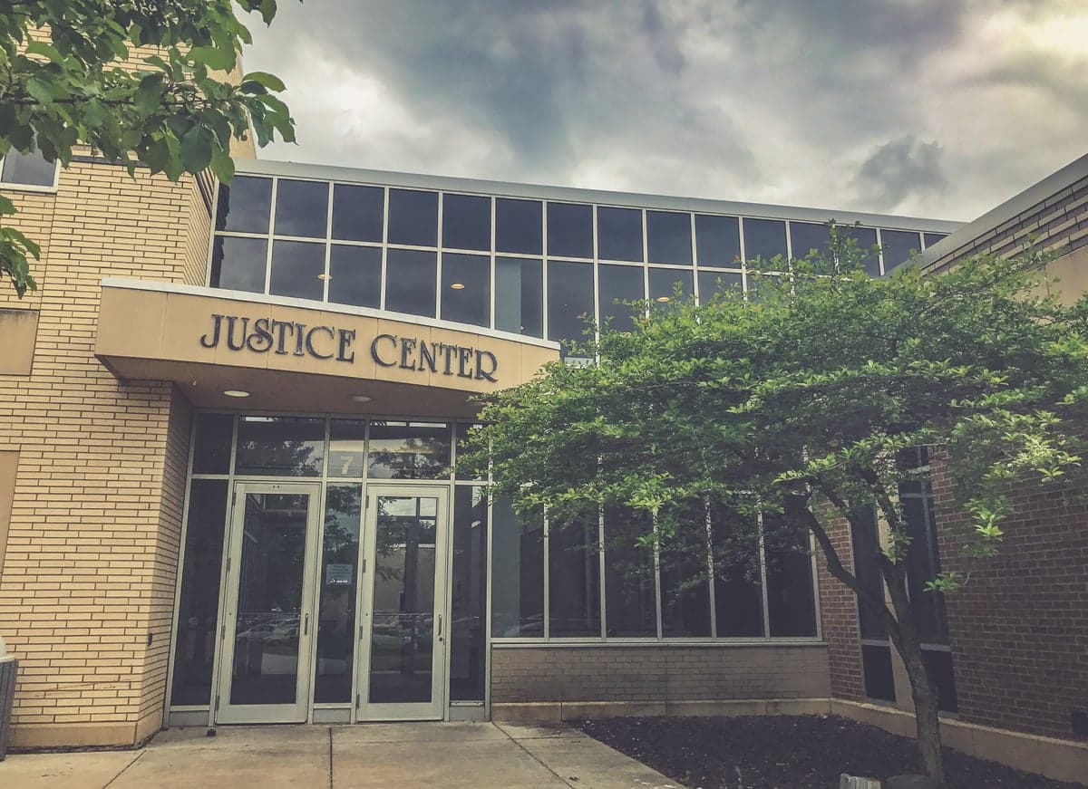
Photo: Wikipedia
Strategic Assessment of Carver County
Workable tactical position. Some exposure to population density or targets, but generally defensible in a crisis.
What does the Strategic Assessment tell us?
Our Strategic Assessment grades tactical survivability of an area. Major population centers, military targets, fallout zones, natural disasters, and border exposure all drive risk — lower exposure means a more defensible position in a crisis.
This is heavily inspired by Joel Skousen's Strategic Relocation book. Highly recommended you checkout the book ($)What does this tell us?
Our Strategic Assessment grades tactical survivability of an area. Major population centers, military targets, fallout zones, natural disasters, and border exposure all drive risk — lower exposure means a more defensible position in a crisis.
This is heavily inspired by Joel Skousen's Strategic Relocation book. Highly recommended you checkout the book ($)Strategic Pillars

Key Distances
Strategic Assessment Analysis
Carver County, Minnesota, offers a compelling strategic position for relocators prioritizing disaster readiness and self-sufficiency, balancing proximity to the Twin Cities metro with genuine rural buffer. Located roughly 25 miles southwest of Minneapolis, the county provides access to urban resources while maintaining a distinct agricultural and small-town character that supports resilience planning. The area's location along the Minnesota River Valley and its distance from major industrial fallout targets make it a noteworthy consideration for those assessing long-term security and preparedness.
Geographic position and natural advantages for self-sufficiency
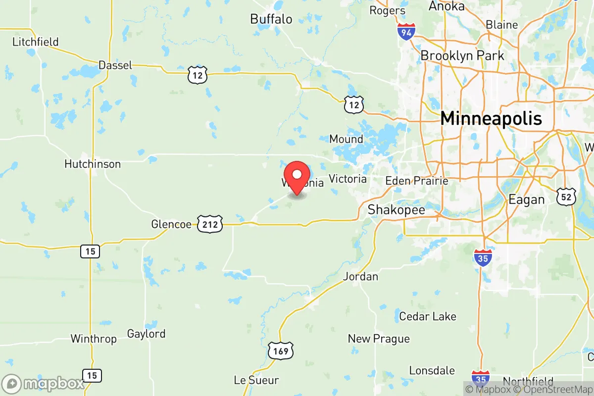
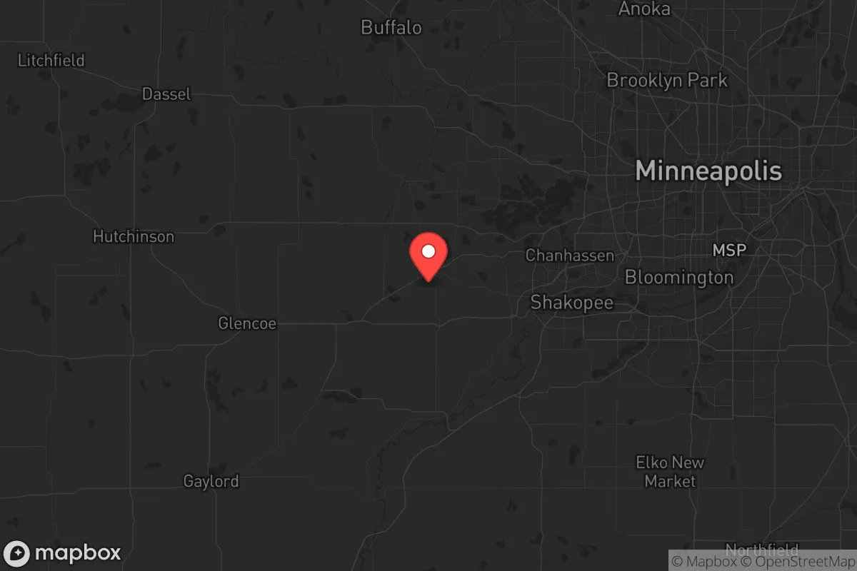
Carver County sits in a transitional zone between the Twin Cities metro and the agricultural heartland of southern Minnesota, offering a practical blend of accessibility and separation. The county's largest city, Chaska, serves as the county seat, while other communities like Waconia, Norwood Young America, and Cologne provide smaller, more defensible population centers. The Minnesota River forms the county's northern boundary, creating a natural geographic barrier that limits approach vectors from the metro area. The terrain is predominantly flat to gently rolling farmland, which supports straightforward agriculture but offers limited natural cover. The county's position places it outside the immediate blast and fallout zones of Minneapolis-St. Paul's major infrastructure, including the Minneapolis-St. Paul International Airport, the Saint Paul Union Depot rail hub, and the numerous industrial facilities along the Mississippi River corridor. This distance—roughly 25-35 miles from downtown Minneapolis—provides a meaningful buffer against the worst effects of a major urban event, though it remains within range of lighter fallout patterns depending on wind direction.
Risks, exposures, and proximity to fallout-relevant landmarks
While Carver County avoids the highest-risk zones, it is not without exposure. The county lies within 50 miles of the Prairie Island Nuclear Generating Plant in Red Wing, Minnesota, a potential target or accident site that could affect the region depending on prevailing winds. Additionally, the county's position along the Minnesota River corridor places it downstream from the Twin Cities' industrial and wastewater infrastructure, which could pose secondary contamination risks in a major event. The county is also within 100 miles of the Monticello Nuclear Generating Plant to the north, adding another vector of potential exposure. On the man-made risk side, Carver County's proximity to the Minneapolis-St. Paul metro means it could experience significant population displacement and resource pressure if the urban core were compromised. The county's major transportation corridors—US Highway 212 and State Highway 5—run directly from the metro into the county, making them likely evacuation routes that could become congested or contested. The county's agricultural character means it hosts grain elevators, fertilizer storage, and chemical depots that could become secondary hazards if damaged or targeted.
Practical resilience for a relocator: food, water, energy, and defensibility
Carver County offers strong practical resilience for those serious about self-sufficiency. The county's agricultural base is a significant asset: it ranks among Minnesota's top counties for corn, soybeans, and livestock production, meaning local food sources are abundant and accessible. The Carver County Soil and Water Conservation District actively supports sustainable farming practices, and the area's numerous farmers' markets in Chaska, Waconia, and Norwood Young America provide direct-to-consumer food access. Water resources are plentiful, with the Minnesota River and numerous lakes—including Lake Waconia, the county's largest—offering surface water sources, while the region's glacial aquifers provide reliable groundwater. The county's energy infrastructure is tied to the regional grid, but the agricultural landscape supports potential for solar, wind, and biomass generation. Defensibility is moderate: the county's dispersed population centers and open farmland make it difficult to secure a single perimeter, but the Minnesota River provides a natural defensive line to the north, and the county's rural character means fewer choke points than denser suburbs. The Carver County Sheriff's Office and local police departments in Chaska, Waconia, and Norwood Young America provide law enforcement coverage, but response times in outlying areas can be significant. For a relocator, the key trade-off is between the county's agricultural advantages and its vulnerability to metro-area spillover effects.
The overall strategic picture for Carver County is one of balanced opportunity and calculated risk. The county offers genuine agricultural self-sufficiency, abundant water resources, and a meaningful buffer from the Twin Cities' most critical infrastructure, making it a strong candidate for those seeking a rural lifestyle with metro access. However, its position within 50 miles of nuclear facilities and along major evacuation corridors introduces vulnerabilities that require serious consideration. For a relocator who values food security, water access, and a supportive agricultural community, Carver County represents a solid choice—provided they plan for the secondary effects of a major urban event and maintain situational awareness of regional risks. The county's combination of farmland, water resources, and small-town governance structures offers a foundation for long-term resilience, but it is not a remote or isolated location. Those seeking complete separation from metro-area risks would need to look farther afield, but for many relocators, Carver County strikes a practical balance between preparedness and quality of life.

* Values derived from national, state, county, city and local statistics and may differ in a specific area. Last updated: 2026-07-07T16:25:40.000Z
Narrative content on this page is AI-generated and may contain mistakes. Verify any details that matter before acting on them.
ReloMaps may earn a commission from affiliate links at no extra cost to you.

