
Photo: Wikipedia
Strategic Assessment of Muskegon County
Meaningful friction. Expect exposure to either population pressure, blast zones, or natural disaster risk. Consider buying a retreat property.
What does the Strategic Assessment tell us?
Our Strategic Assessment grades tactical survivability of an area. Major population centers, military targets, fallout zones, natural disasters, and border exposure all drive risk — lower exposure means a more defensible position in a crisis.
This is heavily inspired by Joel Skousen's Strategic Relocation book. Highly recommended you checkout the book ($)What does this tell us?
Our Strategic Assessment grades tactical survivability of an area. Major population centers, military targets, fallout zones, natural disasters, and border exposure all drive risk — lower exposure means a more defensible position in a crisis.
This is heavily inspired by Joel Skousen's Strategic Relocation book. Highly recommended you checkout the book ($)Strategic Pillars

Key Distances
Strategic Assessment Analysis
Muskegon County offers a compelling mix of strategic resilience and practical self-sufficiency for those prioritizing disaster readiness, anchored by its position on the eastern shore of Lake Michigan. The area’s key advantage is its location roughly 40 miles northwest of Grand Rapids, placing it far enough from a major metropolitan center to avoid the worst of urban collapse scenarios, yet close enough to access critical supplies and medical infrastructure if needed. The county’s historical industrial base—shipbuilding, manufacturing, and a deep-water port—provides a foundation of local skills and infrastructure that many purely rural counties lack, making it a more balanced option for a relocator seeking both isolation and capability.
Geographic position and natural advantages for long-term stability
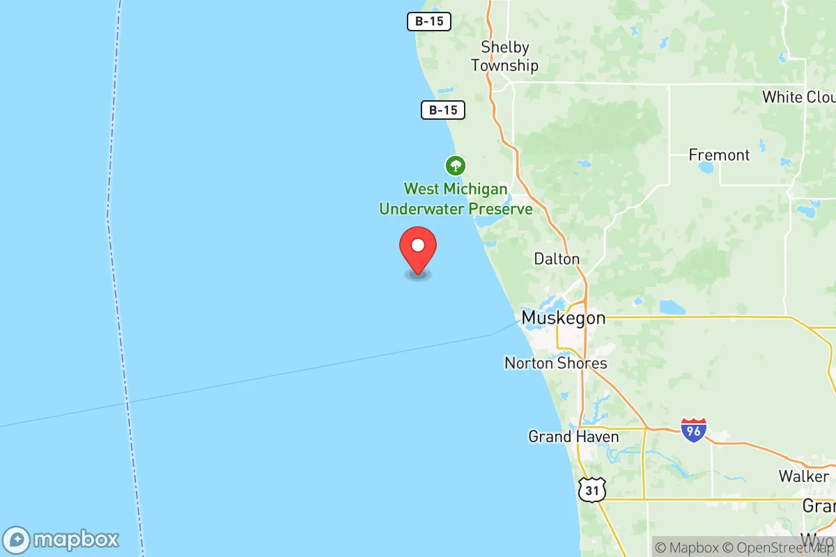
Muskegon County’s geography is its strongest card. The county sits on a 25-mile stretch of Lake Michigan shoreline, offering abundant fresh water—the single most critical resource in any extended disruption. The Muskegon River, which flows through the county and empties into the lake, provides a secondary water source and supports a robust local fishery. The terrain is a mix of low-lying dunes, forested uplands, and agricultural flatlands, which means a relocator can find defensible property with good drainage and natural cover. The prevailing westerly winds off the lake moderate temperatures, reducing the risk of extreme heat events compared to inland areas, and the lake-effect snow, while a winter hassle, provides a reliable snowpack that can be melted for water. The county’s position also places it outside the immediate fallout zones of major strategic targets—no major military bases, ICBM silos, or nuclear power plants are within 50 miles. The nearest significant military installation is the Michigan Army National Guard’s Camp Grayling, about 90 miles northeast, which is a training facility, not a high-value target. The county’s deep-water port in the city of Muskegon is a double-edged sword: it’s a potential chokepoint for maritime trade but also a local asset for receiving bulk goods if supply chains fragment.
Risks, exposures, and proximity to fallout-relevant landmarks
No location is risk-free, and Muskegon County has specific exposures a relocator must weigh. The most obvious is the county’s industrial legacy. The city of Muskegon itself hosts a cluster of chemical plants, foundries, and a coal-fired power plant (the B.C. Cobb Plant, though slated for decommissioning, still has active industrial neighbors). A major industrial accident or targeted disruption at these sites could release hazardous materials, though the prevailing winds off the lake would push most airborne contaminants inland, away from the lakeshore communities. More concerning is the county’s proximity to the Ludington Pumped Storage Plant, about 20 miles north in Mason County. This is a massive hydroelectric facility that, while not a nuclear reactor, is a critical piece of the regional grid and could be a target for cyber or physical attack. The county also sits within 150 miles of the Palisades Nuclear Plant (currently decommissioned but still storing spent fuel) near South Haven, and the Fermi 2 nuclear plant near Monroe, about 180 miles southeast. In a worst-case nuclear exchange, Muskegon County would likely see fallout from strikes on Chicago (about 140 miles southwest) or Detroit (about 160 miles east), but the prevailing winds would carry most of that material eastward, away from the lakeshore. The county’s position on the eastern side of Lake Michigan means it’s shielded from direct fallout from a strike on the West Coast or the central plains. The real risk is a strike on the Chicago metro area, which could deposit light fallout across western Michigan depending on wind direction. A relocator should plan for at least two weeks of shelter-in-place capability.
Practical resilience for a relocator: food, water, energy, and defensibility
For a relocator serious about self-sufficiency, Muskegon County scores well on the basics. Water is abundant: Lake Michigan is a near-limitless source, and the county’s groundwater is generally good, though some areas have high iron content. A well with a hand pump or a lake-access property with a filtration system is a realistic setup. Food production is viable: the county has over 100,000 acres of farmland, with a strong focus on corn, soybeans, and dairy. The local climate supports a 150-day growing season, long enough for most vegetables and some grains. The Lake Michigan shoreline also provides a reliable source of fish—trout, salmon, and perch—and the county’s forests offer deer and small game for hunting. The Muskegon Farmers Market, one of the oldest in the state, is a sign of a strong local food culture. Energy resilience is mixed: the county is served by Consumers Energy and DTE, with the B.C. Cobb plant providing baseload power, but the grid is aging and vulnerable to ice storms and high winds. Solar potential is moderate—the county gets about 170 sunny days per year, below the national average, but enough for a well-sited array. Wood heating is a practical option, given the county’s 40% forest cover. Defensibility is decent: the county’s population density is about 200 people per square mile, with the city of Muskegon (population ~38,000) being the only real population center. The rural townships—Fruitland, Dalton, and Moorland—offer low-density living with good road networks for egress. The county’s geography, with its mix of lakeshore bluffs, river valleys, and forested ridges, provides natural defensive positions. The main vulnerability is the county’s road network: US-31 and I-96 are the primary arteries, and both could become chokepoints in a mass evacuation. A relocator should prioritize a property with multiple access routes and a defensible perimeter.
The overall strategic picture for Muskegon County is one of balanced resilience. It’s not a remote bunker location—it’s a working county with real infrastructure, real people, and real risks. But for a relocator who wants a place that can sustain itself through a moderate disruption—a pandemic, an economic collapse, a regional power grid failure—it offers a strong combination of water, food, and community capability. The key is to choose your specific location carefully: the lakeshore townships offer the best water access and natural beauty but are more exposed to lake-effect weather and potential coastal flooding. The inland townships offer better agricultural land and lower population density but are farther from the lake’s moderating climate and water supply. For a family or individual willing to invest in a well, a solar array, and a good wood stove, Muskegon County is a solid, defensible choice that avoids the extremes of both urban vulnerability and rural isolation.

* Values derived from national, state, county, city and local statistics and may differ in a specific area. Last updated: 2026-08-14T21:22:23.000Z
Narrative content on this page is AI-generated and may contain mistakes. Verify any details that matter before acting on them.
ReloMaps may earn a commission from affiliate links at no extra cost to you.

