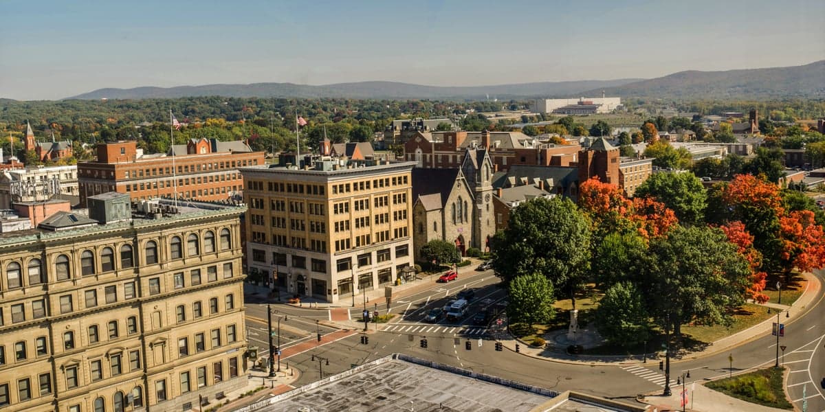
Photo: Wikipedia
Strategic Assessment of Berkshire County
Meaningful friction. Expect exposure to either population pressure, blast zones, or natural disaster risk. Consider buying a retreat property.
What does the Strategic Assessment tell us?
Our Strategic Assessment grades tactical survivability of an area. Major population centers, military targets, fallout zones, natural disasters, and border exposure all drive risk — lower exposure means a more defensible position in a crisis.
This is heavily inspired by Joel Skousen's Strategic Relocation book. Highly recommended you checkout the book ($)What does this tell us?
Our Strategic Assessment grades tactical survivability of an area. Major population centers, military targets, fallout zones, natural disasters, and border exposure all drive risk — lower exposure means a more defensible position in a crisis.
This is heavily inspired by Joel Skousen's Strategic Relocation book. Highly recommended you checkout the book ($)Strategic Pillars

Key Distances
Strategic Assessment Analysis
Berkshire County offers a rare balance of geographic isolation and practical self-sufficiency that appeals to relocators weighing disaster readiness. Tucked into western Massachusetts along the New York and Vermont borders, the region sits far from the dense population corridors of Boston, New York City, and Hartford, yet remains accessible via major highways. Its rugged terrain, abundant forests, and modest population density create a natural buffer against both coastal hurricane surges and the fallout risks associated with sprawling metropolitan centers.
Why Berkshire County’s geography and natural resources matter for self-sufficiency
The county’s backbone is the Berkshire Mountains, a southern extension of the Green Mountains that provides defensible high ground, varied microclimates, and deep watersheds. Pittsfield, the county seat and largest town at roughly 42,000 residents, sits in a valley along the Housatonic River, but most of the county consists of small hamlets like North Adams, Williamstown, Great Barrington, Lenox, and Stockbridge. This decentralized settlement pattern means no single point of failure dominates the local economy or infrastructure. The land itself is rich in surface water: the Housatonic, Hoosic, and Deerfield rivers, plus dozens of lakes and ponds, supply reliable freshwater even in drier months. Surrounding National Forest land and state parks — including parts of the Appalachian Trail — serve as both a natural corridor and a fail-safe for subsistence resources. For a relocator thinking about long-term habitation, the county’s forests offer ample timber for fuel and shelter, while its valley-floor soils support small-scale agriculture. Winters are significant — snow accumulations routinely exceed 60 inches — but the cold itself acts as a demographic filter, deterring transient populations and reducing the spread of seasonal disease compared to warmer zones.
Risks and exposures: what’s too close for comfort in a crisis
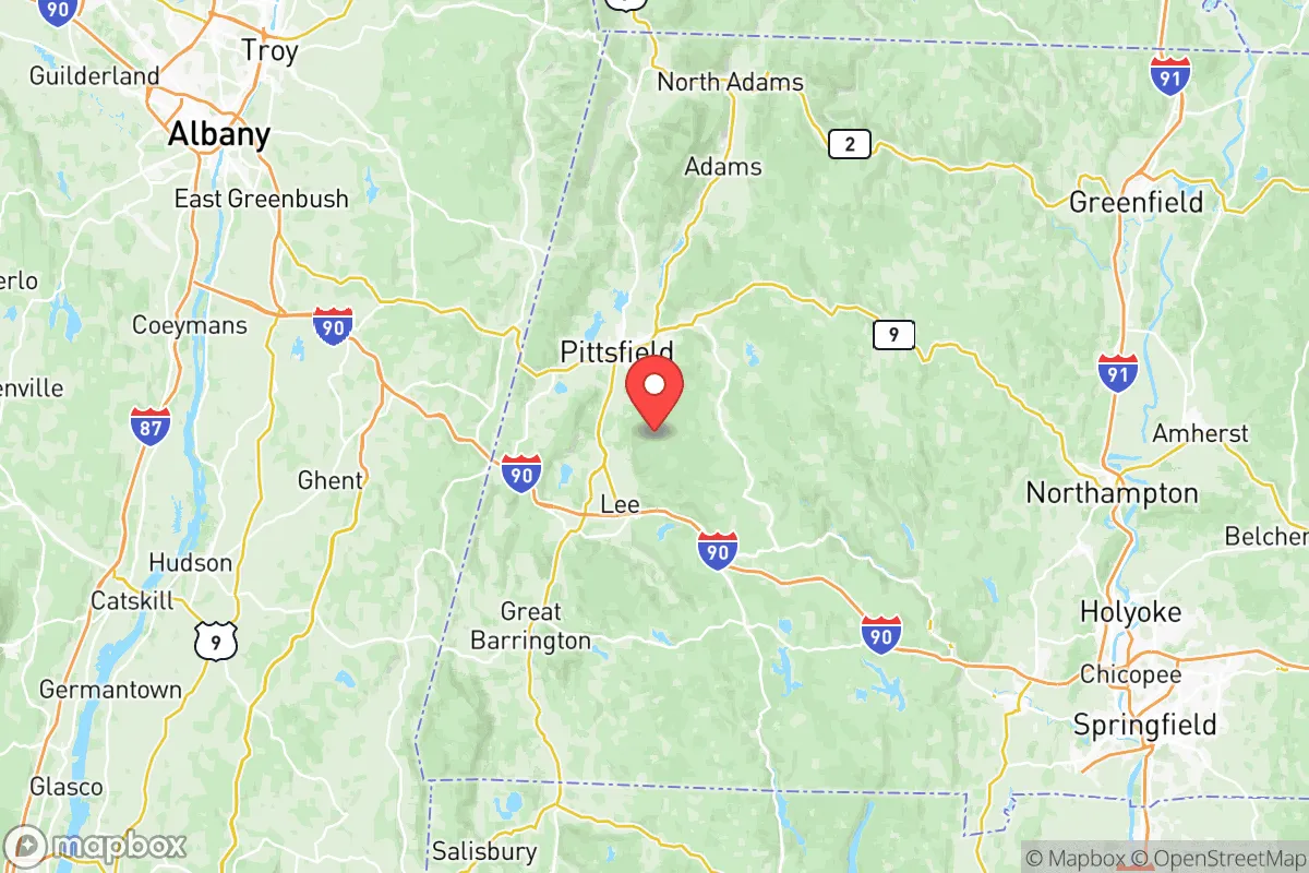
No place is perfectly insulated from modern risks, and Berkshire County sits near enough to potential trouble to warrant attention. The most pressing concern is proximity to the Albany–Schenectady–Troy metropolitan area (roughly 40 miles west of Pittsfield). Albany is a regional transportation hub with a major international airport, rail yards, and the Port of Albany — a key transfer point for petroleum, natural gas, and road salt. In a conflict scenario or a major industrial accident, that concentration of cargo and heavy rail could become an evacuation corridor or a fallout source depending on winds. The New York State Thruway (I-90) also slices across the southern end of Berkshire County, connecting to the Massachusetts Turnpike near Lee; this interstate is a high-volume trucking route for hazardous materials such as propane and ammonia. On the eastern side, the county lies roughly 50 miles from the decommissioned Vermont Yankee nuclear plant in Vernon, Vermont, which still stores spent fuel on site. While no active reactors are in the immediate vicinity, any accident or intentional disruption at that spent-fuel pool could send a plume across southern Vermont and into northern Berkshire towns like North Adams and Williamstown. Additionally, the county’s rugged topography partially shields against electromagnetic pulse (EMP) effects from high-altitude bursts, but its long, narrow valleys can channel blast shockwaves and radioactive dust along the river corridors. The real vulnerability, however, is simply being within two hours’ drive of Boston’s suburban fringe (Worcester is about 70 miles east) — in a near-term crisis, that proximity means the county could receive a sudden influx of evacuees straining its limited medical and law enforcement capacity.
Practical resilience for a relocator: food, water, energy, and defensibility
For someone serious about self-reliance, Berkshire County’s everyday infrastructure provides a solid starting point. The region has a notable farm-to-table culture: over 300 small farms operate within the county, producing vegetables, dairy, beef, poultry, and maple syrup. Great Barrington’s farmers’ market is one of the oldest in the state, and many growers participate in CSAs year-round. In a grid-down scenario, local food supplies could sustain current residents for weeks rather than days — but a sudden population spike would stress that system quickly. Water availability is excellent; most rural homes rely on private wells, and the county’s groundwater recharge rates are high thanks to consistent rainfall (40–50 inches annually). Surface water from the Housatonic River is plentiful, though downstream of the former General Electric plant in Pittsfield it contains PCB contamination — so wells or upstream springs are safer if the grid fails. Energy is the weakest link: the county is served by Eversource and National Grid, with no significant independent microgrids. However, the region has strong solar potential (about 4.5 peak sun hours per day) and a growing network of solar co-ops in towns like Lenox and Williamstown. Wood heat is already the primary or secondary heating source for many homes, and the extensive forests guarantee fuel for years, provided residents own or have access to a woodlot. Defensibility is a mixed bag: the mountain passes (especially the Hoosac Tunnel route and the Mohawk Trail) create natural chokepoints that can be monitored with minimal manpower, but the same isolation means emergency response times from state assets in Springfield or Albany are slow — typically 30 to 60 minutes for law enforcement or fire. For a prepared group, the terrain favors dispersed settlement rather than a single fortified compound; small clusters of homesteads in pockets like the hills around Monterey or along the Deerfield River offer good fields of fire and escape routes into the National Forest.
The overall strategic picture for Berkshire County is one of tempered optimism. Its natural geography — mountains, rivers, forests, and a sparse population — provides a genuine resilience buffer that most suburban or coastal counties cannot match. The moderate risk from proximity to Albany and the Vermont Yankee spent-fuel pool is real but manageable for a relocator who understands prevailing wind patterns (west to east) and practices basic emergency planning. The food and water base is above average, while energy dependency on the grid is the primary vulnerability that off-grid solar and wood heat can mitigate. For a conservative-leaning individual or family seeking a place with low crime, intact communities, and enough distance from the high-risk axes of American life — the Northeast Corridor and major interstate arteries — Berkshire County deserves serious consideration, provided you come ready to handle winter. It will never be a hidden fortress, but it is a defensible, livable piece of the Northeast that rewards preparation.

* Values derived from national, state, county, city and local statistics and may differ in a specific area. Last updated: 2026-06-24T22:48:13.000Z
Narrative content on this page is AI-generated and may contain mistakes. Verify any details that matter before acting on them.
ReloMaps may earn a commission from affiliate links at no extra cost to you.

