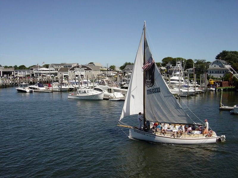
Photo: Wikipedia
Strategic Assessment of Barnstable County
Multiple tactical vulnerabilities. Population density, target proximity, or disaster risk are likely compounding. A retreat property and exit planning is required.
What does the Strategic Assessment tell us?
Our Strategic Assessment grades tactical survivability of an area. Major population centers, military targets, fallout zones, natural disasters, and border exposure all drive risk — lower exposure means a more defensible position in a crisis.
This is heavily inspired by Joel Skousen's Strategic Relocation book. Highly recommended you checkout the book ($)What does this tell us?
Our Strategic Assessment grades tactical survivability of an area. Major population centers, military targets, fallout zones, natural disasters, and border exposure all drive risk — lower exposure means a more defensible position in a crisis.
This is heavily inspired by Joel Skousen's Strategic Relocation book. Highly recommended you checkout the book ($)Strategic Pillars

Key Distances
Strategic Assessment Analysis
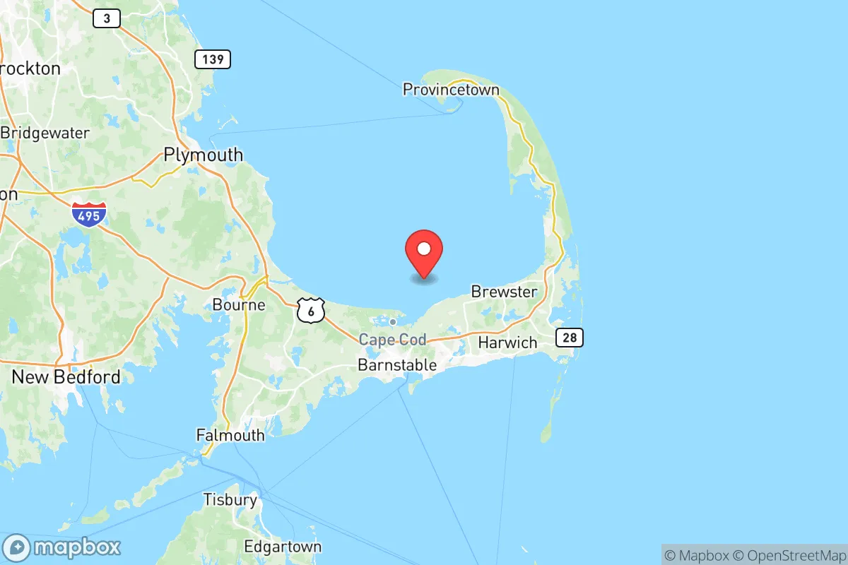
Barnstable County, which encompasses all of Cape Cod, offers a distinctive strategic profile for the relocation-minded reader focused on resilience and self-sufficiency. Its primary advantage is geographic isolation: a 65-mile-long peninsula jutting into the Atlantic, connected to the Massachusetts mainland by only two road bridges—the Sagamore and Bourne—and the Cape Cod Canal, a man-made waterway that provides a natural defensive chokepoint. This configuration inherently limits unwanted ingress and creates a buffer from the dense urban corridors of Boston (roughly 60 miles north) and Providence (roughly 50 miles northwest), making it a location where a prepared individual can leverage natural barriers for security and stability.
Geographic position and natural defensive advantages of Cape Cod
The Cape's peninsular geography is its strongest strategic asset. The Cape Cod Canal, a 7-mile, 480-foot-wide waterway, effectively turns the region into an island, with vehicular access funneled through the Bourne and Sagamore Bridges. These two points are easily monitored and, in a crisis, could be controlled to manage population movement. The surrounding waters—Cape Cod Bay to the north, Nantucket Sound to the south, and the Atlantic Ocean to the east—provide a natural moat against ground-based threats. The region is also far removed from major industrial and military targets that would be primary concerns in a broader conflict or national emergency. There are no major refineries, large-scale chemical plants, or strategic military bases like Fort Hood or Camp Lejeune within the county. The nearest significant military installation is Joint Base Cape Cod, located in Bourne and Sandwich, which primarily hosts the 102nd Intelligence Wing and Coast Guard Air Station Cape Cod—a low-profile facility unlikely to be a primary target. This distance from high-value, fallout-relevant landmarks in the Boston-Washington corridor significantly reduces the risk of direct exposure to fallout plumes from a major event.
Risks, exposures, and proximity to fallout-relevant landmarks
While the Cape is distant from primary targets, it is not without exposure. The primary natural risk is from hurricanes and nor'easters, which can cause widespread power outages, coastal flooding, and infrastructure damage, particularly in low-lying towns like Chatham, Provincetown, and Wellfleet. The region's reliance on the two bridges means that a severe storm or a man-made incident could temporarily isolate the Cape, cutting off supply chains for fuel, food, and medical supplies. From a man-made risk perspective, the closest significant fallout-relevant landmark is the Pilgrim Nuclear Power Station in Plymouth, roughly 20 miles north of the Cape Cod Canal. While decommissioned, its spent fuel pools remain a potential hazard. Further afield, the Boston metropolitan area, with its concentration of government, financial, and research institutions, is a plausible target. Prevailing winds in the region are from the west and northwest, meaning a fallout event in Boston could potentially carry particulate matter toward the Cape, though dispersion over 60 miles of open water would significantly dilute it. The county's position on the eastern seaboard also places it within the broader risk envelope of naval installations in Newport, RI, and Portsmouth, NH, though these are not immediate threats.
Practical resilience for a relocator: food, water, energy, and defensibility
For a relocator prioritizing self-sufficiency, Barnstable County presents a mixed picture. Water is abundant: the Cape sits atop a sole-source aquifer that provides clean drinking water to all 15 towns, and private wells are common in less dense areas like Brewster, Harwich, and Orleans. Surface water is plentiful, with numerous kettle ponds and coastal estuaries. Food resilience is moderate: the region has a strong local fishing industry (shellfish, lobster, and finfish) centered on ports like Chatham, Provincetown, and Hyannis, and a growing network of small farms and community-supported agriculture (CSA) operations, particularly in the mid-Cape towns of Sandwich, Falmouth, and Mashpee. However, the Cape is not a major agricultural producer; it imports the vast majority of its grains, meats, and produce from off-Cape. A long-term disruption would require residents to rely heavily on marine resources and home gardening. Energy is a vulnerability: the region is at the end of the natural gas and electric transmission lines from the mainland. Power outages are common during storms, and restoration can be slow due to the geography. Solar adoption is high, but battery storage is essential for true off-grid capability. Defensibility is high: the limited access points and the canal make the area naturally defensible. The population is spread across 15 towns, with a year-round population of roughly 230,000 that swells to over 500,000 in summer. This seasonal fluctuation means that a prepared individual can secure a low-density, rural property in towns like Truro, Wellfleet, or Eastham, where neighbors are sparse and land is available for gardening and rainwater catchment. The local culture, while generally liberal, includes a strong independent streak among fishermen, farmers, and tradespeople, which can be a resource for community-based resilience.
Overall, Barnstable County offers a strong strategic position for the resilience-minded relocator who values geographic isolation and natural barriers over immediate access to urban resources. Its primary strengths are its defensible peninsula, abundant fresh water, and distance from major fallout-relevant landmarks. Its primary weaknesses are its vulnerability to coastal storms, reliance on a fragile transportation link for supplies, and limited local food production capacity. For a single individual or family willing to invest in solar, battery storage, a private well, and a robust garden, the Cape provides a secure, low-threat environment where the natural advantages of the landscape can be leveraged for long-term stability. It is not a location for those seeking a fully self-sufficient homestead, but it is an excellent choice for those who want a defensible, water-secure base with access to marine resources and a community that understands the value of being prepared for the next storm.

* Values derived from national, state, county, city and local statistics and may differ in a specific area. Last updated: 2026-08-08T18:50:57.000Z
Narrative content on this page is AI-generated and may contain mistakes. Verify any details that matter before acting on them.
ReloMaps may earn a commission from affiliate links at no extra cost to you.

