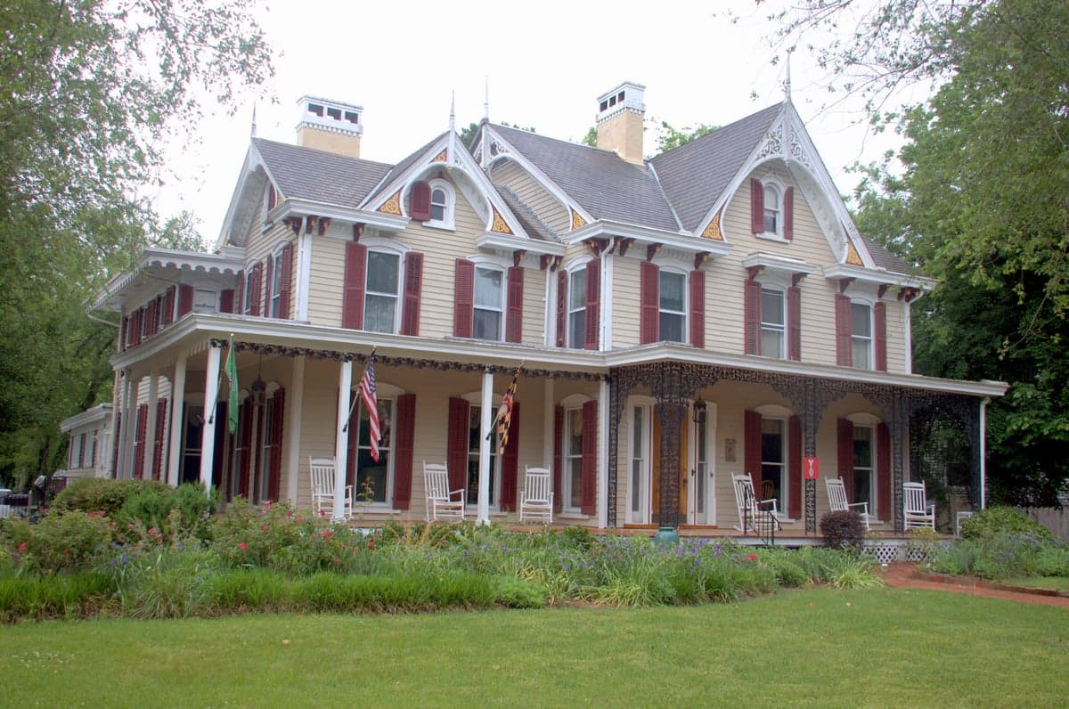
Photo: Wikipedia
Strategic Assessment of Worcester County
Meaningful friction. Expect exposure to either population pressure, blast zones, or natural disaster risk. Consider buying a retreat property.
What does the Strategic Assessment tell us?
Our Strategic Assessment grades tactical survivability of an area. Major population centers, military targets, fallout zones, natural disasters, and border exposure all drive risk — lower exposure means a more defensible position in a crisis.
This is heavily inspired by Joel Skousen's Strategic Relocation book. Highly recommended you checkout the book ($)What does this tell us?
Our Strategic Assessment grades tactical survivability of an area. Major population centers, military targets, fallout zones, natural disasters, and border exposure all drive risk — lower exposure means a more defensible position in a crisis.
This is heavily inspired by Joel Skousen's Strategic Relocation book. Highly recommended you checkout the book ($)Strategic Pillars

Key Distances
Strategic Assessment Analysis
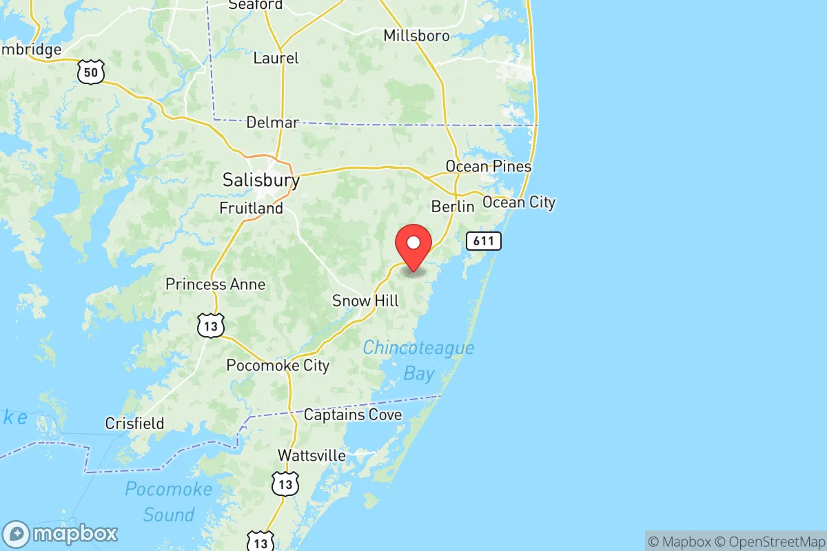
Worcester County, Maryland, occupies a unique strategic position on the Delmarva Peninsula, offering a blend of geographic isolation and practical resilience that appeals to relocation-minded individuals and families with a conservative, self-sufficient outlook. Bounded by the Atlantic Ocean to the east and the Chesapeake Bay to the west, the county is physically separated from the major population centers of the I-95 corridor—Baltimore, Washington D.C., and Philadelphia—by the Chesapeake Bay Bridge and the narrow neck of the peninsula. This natural buffer reduces exposure to the cascading failures of a major metropolitan collapse, while the county’s own infrastructure, anchored by the towns of Ocean City, Berlin, Snow Hill, and Pocomoke City, provides a self-contained economic and logistical base. For a relocator weighing disaster readiness and long-term stability, Worcester County offers a compelling mix of natural advantages and manageable risks, though it is not without its own exposures.
Geographic position and natural advantages for long-term stability
Worcester County’s location on the southern end of the Delmarva Peninsula is its single greatest strategic asset. The peninsula is a land bridge roughly 180 miles long and 70 miles wide, with only two road connections to the mainland: the Chesapeake Bay Bridge (U.S. 50/301) near Annapolis and the Delaware Memorial Bridge (I-295) near Wilmington. In a crisis scenario, these chokepoints can be controlled or monitored, effectively limiting the flow of displaced populations from the Baltimore-Washington corridor. Within the county, the terrain is flat and coastal, with extensive pine forests, wetlands, and farmland—particularly around Snow Hill and Pocomoke City—that support local food production and timber resources. The county’s 26 miles of Atlantic coastline and numerous bays and inlets provide access to marine protein and fresh water sources, though the latter requires treatment. The Assateague Island National Seashore and the Pocomoke River State Forest offer large, undeveloped tracts that could serve as buffer zones or resource areas. For a family seeking a defensible, resource-rich environment away from urban centers, Worcester County’s geography is hard to beat on the East Coast.
Natural and man-made risks: storm exposure and proximity to fallout-relevant landmarks
No strategic assessment is complete without a clear-eyed look at vulnerabilities. Worcester County’s primary natural risk is tropical storms and hurricanes. The county sits directly in the Atlantic hurricane belt, and Ocean City has been struck or brushed by major storms—most recently Hurricane Sandy in 2012 and Hurricane Isabel in 2003. Storm surge is the most immediate threat to coastal communities, with the barrier island of Ocean City particularly exposed. Inland towns like Berlin and Snow Hill face flooding from the Pocomoke River and its tributaries, though the risk is lower. The county’s flat topography also means slow drainage during heavy rain events, which can disrupt transportation and agriculture. On the man-made risk side, Worcester County is relatively fortunate. There are no nuclear power plants, major oil refineries, or chemical weapons depots within its borders. The closest significant fallout-relevant landmarks are the Calvert Cliffs Nuclear Power Plant (about 90 miles west, across the Chesapeake Bay) and the Salem and Hope Creek nuclear plants in New Jersey (about 100 miles north). Both are far enough that a worst-case release would likely not produce lethal fallout in Worcester County, though prevailing winds from the west or north could carry low-level contamination. The county is also far from major military targets: the closest major base is Naval Air Station Patuxent River (about 70 miles west), followed by Joint Base Andrews (about 120 miles northwest). For a relocator concerned about nuclear or industrial accidents, Worcester County’s distance from these landmarks is a clear positive.
Practical resilience for a relocator: food, water, energy, and defensibility
For a family or individual serious about self-sufficiency, Worcester County offers a mixed but workable picture. Food: The county has a strong agricultural base, with poultry farming (Perdue and Mountaire have processing plants in the region), row crops (corn, soybeans, wheat), and a growing local food movement centered on farmers’ markets in Berlin and Snow Hill. The Atlantic and Chesapeake Bay provide year-round seafood—blue crabs, oysters, clams, and finfish—which can be harvested with basic gear. For a family willing to garden and raise small livestock, the growing season runs from April to October, and the sandy loam soils are workable with proper amendment. Water: The county sits atop the Columbia aquifer, a large, high-yield groundwater source that supplies most residential wells. Surface water is abundant but brackish in many coastal areas; the Pocomoke River and its tributaries are fresh enough for treatment with basic filtration. Energy: The grid is served by Delmarva Power, with overhead lines vulnerable to storm damage. However, the county has strong solar potential (over 200 sunny days per year) and wind resources along the coast. Several farms and rural homes already use off-grid solar and propane backup. Defensibility: The county’s low population density—roughly 52,000 residents across 473 square miles—means that rural areas around Snow Hill and Pocomoke City offer natural standoff. The road network is limited: U.S. 113 runs north-south through the county, and Maryland 90 connects Ocean City to the mainland. These roads can be monitored or blocked at key intersections. The county sheriff’s office and local police are professional but small; in a prolonged crisis, residents would need to rely on mutual aid and community networks. Overall, Worcester County is well-suited for a prepared relocator who brings their own water filtration, solar capacity, and a plan for food storage.
The overall strategic picture for Worcester County is one of moderate resilience with clear trade-offs. Its geographic isolation on the Delmarva Peninsula provides a natural buffer against the chaos of the I-95 corridor, and its agricultural and marine resources offer a foundation for local self-sufficiency. The absence of major industrial or military targets within the county reduces the risk of direct fallout or secondary effects from an attack or accident. However, the county’s exposure to Atlantic hurricanes and its reliance on a single bridge connection to the mainland are real vulnerabilities that require planning. For a conservative-leaning family or individual who values preparedness, community, and a slower pace of life, Worcester County—especially the inland towns of Berlin, Snow Hill, and Pocomoke City—represents a defensible, resource-rich option on the East Coast. It is not a fortress, but with proper preparation, it offers a solid foundation for long-term stability.

* Values derived from national, state, county, city and local statistics and may differ in a specific area. Last updated: 2026-06-18T03:37:10.000Z
Narrative content on this page is AI-generated and may contain mistakes. Verify any details that matter before acting on them.
ReloMaps may earn a commission from affiliate links at no extra cost to you.

