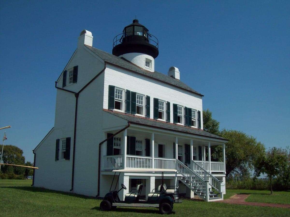
Photo: Wikipedia
Strategic Assessment of St Marys County
Meaningful friction. Expect exposure to either population pressure, blast zones, or natural disaster risk. Consider buying a retreat property.
What does the Strategic Assessment tell us?
Our Strategic Assessment grades tactical survivability of an area. Major population centers, military targets, fallout zones, natural disasters, and border exposure all drive risk — lower exposure means a more defensible position in a crisis.
This is heavily inspired by Joel Skousen's Strategic Relocation book. Highly recommended you checkout the book ($)What does this tell us?
Our Strategic Assessment grades tactical survivability of an area. Major population centers, military targets, fallout zones, natural disasters, and border exposure all drive risk — lower exposure means a more defensible position in a crisis.
This is heavily inspired by Joel Skousen's Strategic Relocation book. Highly recommended you checkout the book ($)Strategic Pillars

Key Distances
Strategic Assessment Analysis
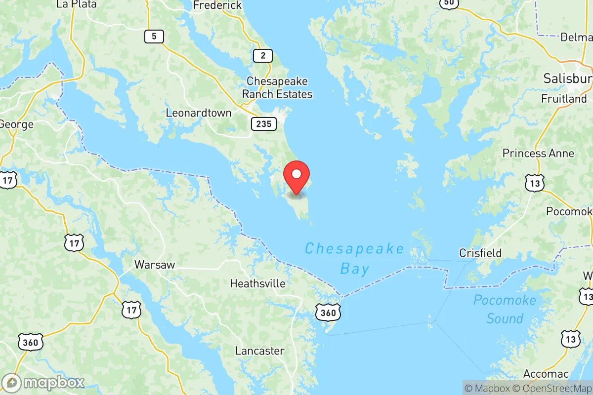
St Marys County, Maryland, occupies a distinctive strategic position for those prioritizing resilience and self-sufficiency, offering a blend of geographic isolation and practical advantages that are rare along the densely populated Eastern Seaboard. Situated on a peninsula where the Potomac River meets the Chesapeake Bay, the county is buffered by water on three sides, creating a natural barrier that reduces through-traffic and provides a degree of separation from the urban corridors to the north and west. For a relocator assessing long-term stability, the area’s combination of rural character, active military presence, and access to tidal waterways presents a compelling, if nuanced, case for consideration.
Geographic position and natural advantages for long-term stability
The county’s peninsular geography is its most significant asset. Bounded by the Potomac River to the south and west, the Patuxent River to the east, and the Chesapeake Bay to the southeast, St Marys is effectively an island of land with limited entry points. This configuration naturally restricts access, making the area more defensible and less susceptible to the spillover effects of disruptions in larger population centers like Washington, D.C., which lies roughly 60 miles north. The primary road corridors—Maryland Route 4 and Maryland Route 235—serve as the main arteries, and their chokepoint nature means that in a crisis, movement in and out can be more easily managed. The county’s position also places it away from major industrial targets; while the Patuxent River Naval Air Station (NAS Patuxent River) is a significant military installation, it is a research and testing facility rather than a strategic nuclear target of the highest order, which some analysts view as a relative advantage compared to areas near major ports or refinery complexes. The surrounding waters provide not only a buffer but also a potential resource for transportation, fishing, and alternative mobility routes if road networks become compromised.
Risks, exposures, and proximity to fallout-relevant landmarks
No strategic assessment is complete without a clear-eyed look at vulnerabilities, and St Marys County has several that a relocator must weigh. The most immediate risk is its proximity to the Washington, D.C. metropolitan area, a high-value target in any major conflict scenario. While the county is far enough to avoid the blast radius of a direct strike on the capital, it lies within the zone where fallout patterns could be significant depending on wind direction and yield. The presence of NAS Patuxent River, while not a primary strategic target, is a military installation that could attract secondary strikes or sabotage efforts. Additionally, the county is home to the Calvert Cliffs Nuclear Power Plant in neighboring Calvert County, roughly 20 miles north of the St Marys border. A catastrophic event at this facility—whether from accident or attack—would pose a direct radiological hazard to downwind areas, including much of St Marys. The county’s coastal geography also exposes it to hurricane storm surge and flooding, particularly in low-lying communities like St. George Island and Piney Point. Sea-level rise and increased storm intensity are long-term concerns that affect property values and infrastructure resilience. Finally, the county’s reliance on a few major roadways means that a single bridge failure or major accident on the Governor Thomas Johnson Bridge (connecting to Calvert County) could severely restrict egress and supply routes.
Practical resilience for a relocator: food, water, energy, and defensibility
For someone serious about self-sufficiency, St Marys County offers a mix of strengths and gaps. On the positive side, the county retains a strong agricultural base, with working farms producing corn, soybeans, and livestock, particularly in the central and northern areas around Charlotte Hall and Mechanicsville. Local farmers' markets and community-supported agriculture (CSA) programs are well-established, providing direct access to fresh food outside of grocery supply chains. The Chesapeake Bay and its tributaries offer abundant fishing, crabbing, and oyster harvesting opportunities, which can supplement food supplies for those with the knowledge and equipment. Water access is generally good; while the county relies on a mix of public water systems and private wells, the rural areas are predominantly well-served by groundwater, and the shallow aquifer is considered reliable. However, relocators should test well water quality, as agricultural runoff and saltwater intrusion are concerns in some coastal zones. Energy resilience is a mixed picture. The county is served by Southern Maryland Electric Cooperative (SMECO), which has a decent reliability record, but overhead power lines are vulnerable to storms and ice. Solar adoption is growing, but local permitting and homeowners' association restrictions can be hurdles. For defensibility, the peninsular geography works in a relocator’s favor: the limited entry points make it easier to monitor and control access to a property or community. Rural parcels with good sightlines, wooded buffers, and distance from main roads are available, particularly in the southern part of the county near Lexington Park and Great Mills, though these areas are also closer to the naval air station and its associated activity.
The overall strategic picture for St Marys County is one of qualified opportunity. It offers genuine geographic advantages—isolation, water buffers, agricultural capacity, and a lower population density than the suburban sprawl north of the Patuxent—that align well with a resilience-minded relocation. The presence of NAS Patuxent River provides a stable economic base and a population of skilled, security-conscious neighbors, which can be a social asset in a crisis. However, the county is not a remote redoubt. Its proximity to Washington, D.C., the Calvert Cliffs nuclear plant, and the vulnerabilities of a coastal peninsula mean that a relocator must invest in preparation: redundant water sources, off-grid energy, food storage, and a solid evacuation plan for hurricane or fallout scenarios. For the single individual or family willing to do that work, St Marys County represents a defensible, resource-rich base of operations within a region that is otherwise dominated by risk. It is not a bug-out location for the paranoid; it is a strategic foothold for the prepared.

* Values derived from national, state, county, city and local statistics and may differ in a specific area. Last updated: 2026-11-18T22:13:56.000Z
Narrative content on this page is AI-generated and may contain mistakes. Verify any details that matter before acting on them.
ReloMaps may earn a commission from affiliate links at no extra cost to you.

