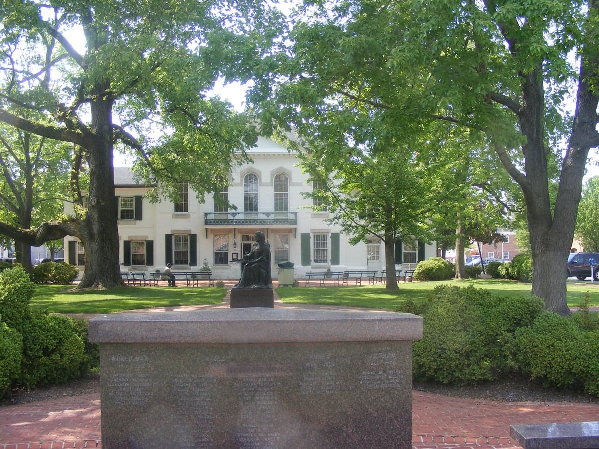
Photo: Wikipedia
Strategic Assessment of Queen Annes County
Meaningful friction. Expect exposure to either population pressure, blast zones, or natural disaster risk. Consider buying a retreat property.
What does the Strategic Assessment tell us?
Our Strategic Assessment grades tactical survivability of an area. Major population centers, military targets, fallout zones, natural disasters, and border exposure all drive risk — lower exposure means a more defensible position in a crisis.
This is heavily inspired by Joel Skousen's Strategic Relocation book. Highly recommended you checkout the book ($)What does this tell us?
Our Strategic Assessment grades tactical survivability of an area. Major population centers, military targets, fallout zones, natural disasters, and border exposure all drive risk — lower exposure means a more defensible position in a crisis.
This is heavily inspired by Joel Skousen's Strategic Relocation book. Highly recommended you checkout the book ($)Strategic Pillars

Key Distances
Strategic Assessment Analysis
Queen Anne’s County offers a compelling strategic position for relocators prioritizing resilience and self-sufficiency, balancing proximity to the Chesapeake Bay’s resources with deliberate distance from major metropolitan fallout zones. Located on Maryland’s Eastern Shore, the county avoids the direct blast and secondary effects tied to Washington, D.C. (roughly 50 miles west) and Baltimore (about 40 miles northwest), while still providing access to regional supply chains and emergency services. Its rural character, low population density (roughly 50,000 residents across 372 square miles), and agricultural base make it a practical choice for those assessing long-term preparedness and disaster readiness.
Geographic position and natural advantages for disaster preparedness
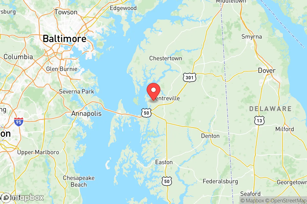
Queen Anne’s County sits on a peninsula bounded by the Chesapeake Bay to the west and the Delaware border to the east, offering natural defensibility through water barriers and limited road access points. The county’s primary land routes—US Route 50/301 and Maryland Route 213—create chokepoints that could be monitored or controlled during a crisis, reducing the risk of mass evacuation influx from urban centers. The area’s flat, low-lying terrain (average elevation 20–50 feet) supports extensive farmland, with over 40% of the county’s land dedicated to agriculture, including row crops like corn and soybeans, as well as poultry operations near towns like Centreville and Sudlersville. This local food production capacity is a significant resilience asset, reducing dependence on distant supply chains. The Chesapeake Bay provides abundant seafood (blue crabs, oysters, rockfish) and a freshwater lens for well water, though saltwater intrusion is a concern in coastal zones. The county’s position also places it outside the immediate fallout patterns of major targets: the nearest high-value military installation is Dover Air Force Base (Delaware, about 30 miles northeast), while the closest nuclear power plant is Calvert Cliffs (Maryland, roughly 50 miles south), both within a moderate risk radius but not direct blast zones.
Risks, exposures, and proximity to fallout-relevant landmarks
While Queen Anne’s County avoids the worst-case scenarios of a direct strike on Washington or Baltimore, it is not immune to secondary risks. The county lies within the prevailing wind patterns from those cities, meaning fallout from a nuclear event could drift eastward over the Chesapeake Bay, potentially affecting air quality and water sources for days. The Bay Bridge (US 50/301) is a critical evacuation and supply route connecting the Eastern Shore to the mainland; its vulnerability to damage or congestion during a crisis is a notable weakness. The county also sits near the Patuxent River Naval Air Station (about 40 miles south) and Aberdeen Proving Ground (roughly 50 miles north), both potential military targets. Industrial risks include the Domino Sugar refinery in Baltimore and the Port of Baltimore’s shipping terminals, though their distance reduces direct blast effects. Natural hazards are more immediate: the county is susceptible to hurricane storm surge (especially in low-lying areas like Kent Island and Queenstown), flooding from the Chester River and Corsica River, and nor’easters that can knock out power for days. Sea-level rise projections show 1–2 feet of increase by 2050, threatening coastal infrastructure and freshwater aquifers. The county’s emergency management infrastructure is robust but rural—Centreville serves as the county seat with a small hospital (University of Maryland Shore Medical Center at Chestertown is the nearest full-service facility, about 15 miles north), and volunteer fire departments cover most areas.
Practical resilience for a relocator: food, water, energy, and defensibility
For a relocator focused on self-sufficiency, Queen Anne’s County offers strong fundamentals. Food security is high: the county’s agricultural output includes poultry (Perdue Farms has a major processing plant in nearby Salisbury), grain, and produce, with farmers’ markets in Centreville, Stevensville, and Church Hill providing direct-to-consumer access. Hunting and fishing are viable—deer, waterfowl, and Chesapeake Bay species are abundant—but require licenses and land access. Water resources are generally reliable: most rural properties rely on private wells drawing from the Columbia and Magothy aquifers, which have moderate yields (10–50 gallons per minute) but are vulnerable to saltwater intrusion near the coast. Surface water from the Chester River and tributaries is available but requires treatment. Energy resilience is a mixed picture: the grid is served by Delmarva Power, with frequent outages during storms (average 1–2 per year lasting 4–12 hours). Solar potential is good (4.5–5.0 peak sun hours per day), and many farms already use solar panels for barns and irrigation. Propane and heating oil are common for off-grid heating, with bulk suppliers in Centreville and Sudlersville. Defensibility is aided by the county’s geography: limited road access (primarily US 50/301 and MD 213) creates natural chokepoints, and the rural landscape offers ample space for perimeter security on larger properties. However, the county’s population density (about 135 people per square mile) means neighbors are close enough for mutual aid but not so dense as to create vulnerability. The local gun culture is moderate—Maryland has strict firearm laws (handgun permit required, assault weapon ban), but hunting rifles and shotguns are common. Law enforcement presence is limited: the Queen Anne’s County Sheriff’s Office has about 60 sworn deputies, with response times of 15–30 minutes in rural areas.
The overall strategic picture for Queen Anne’s County is one of moderate-to-high resilience for a relocator willing to invest in off-grid infrastructure and accept some exposure to coastal hazards. Its agricultural base, low population density, and distance from primary target zones make it a defensible choice compared to suburban Maryland or Northern Virginia. The key trade-offs are the vulnerability to storm surge and sea-level rise in coastal areas (avoid low-lying Kent Island and Queenstown for long-term holdings) and the reliance on the Bay Bridge for critical supplies and evacuation. For a family or individual prioritizing self-sufficiency and disaster readiness, the county’s interior—around Centreville, Sudlersville, or Church Hill—offers the best balance of land availability, water access, and strategic depth. The proximity to the Chesapeake Bay provides a food buffer and recreational resource, but the same water that offers abundance also channels storm surges and potential fallout. Overall, Queen Anne’s County ranks as a solid B+ in a regional resilience assessment—strong on food and water, moderate on energy and defensibility, and requiring careful site selection to mitigate coastal risks.

* Values derived from national, state, county, city and local statistics and may differ in a specific area. Last updated: 2026-07-25T08:52:43.000Z
Narrative content on this page is AI-generated and may contain mistakes. Verify any details that matter before acting on them.
ReloMaps may earn a commission from affiliate links at no extra cost to you.

