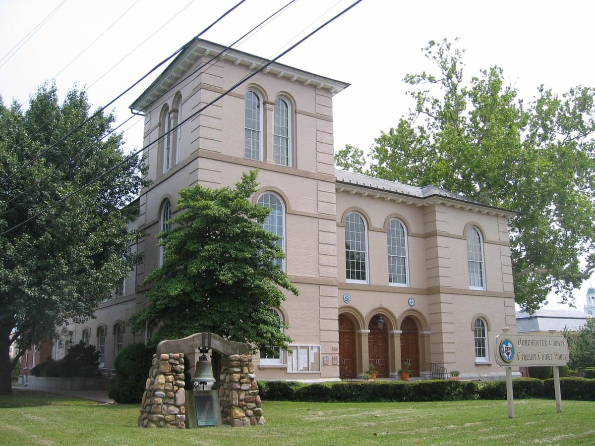
Photo: Wikipedia
Strategic Assessment of Dorchester County
Meaningful friction. Expect exposure to either population pressure, blast zones, or natural disaster risk. Consider buying a retreat property.
What does the Strategic Assessment tell us?
Our Strategic Assessment grades tactical survivability of an area. Major population centers, military targets, fallout zones, natural disasters, and border exposure all drive risk — lower exposure means a more defensible position in a crisis.
This is heavily inspired by Joel Skousen's Strategic Relocation book. Highly recommended you checkout the book ($)What does this tell us?
Our Strategic Assessment grades tactical survivability of an area. Major population centers, military targets, fallout zones, natural disasters, and border exposure all drive risk — lower exposure means a more defensible position in a crisis.
This is heavily inspired by Joel Skousen's Strategic Relocation book. Highly recommended you checkout the book ($)Strategic Pillars

Key Distances
Strategic Assessment Analysis
Dorchester County, Maryland, offers a strategic relocation option for those prioritizing resilience and self-sufficiency, balancing the isolation of the Eastern Shore with practical access to essential infrastructure. Its position along the Chesapeake Bay, anchored by the county seat of Cambridge, provides a buffer from the dense urban corridors of the Mid-Atlantic while still being within a reasonable distance of critical resources. For a conservative-leaning audience focused on disaster readiness, the county’s low population density, agricultural base, and limited industrial exposure present a compelling case, though its coastal geography and proximity to certain high-value targets require careful consideration.
Geographic position and natural advantages for long-term stability
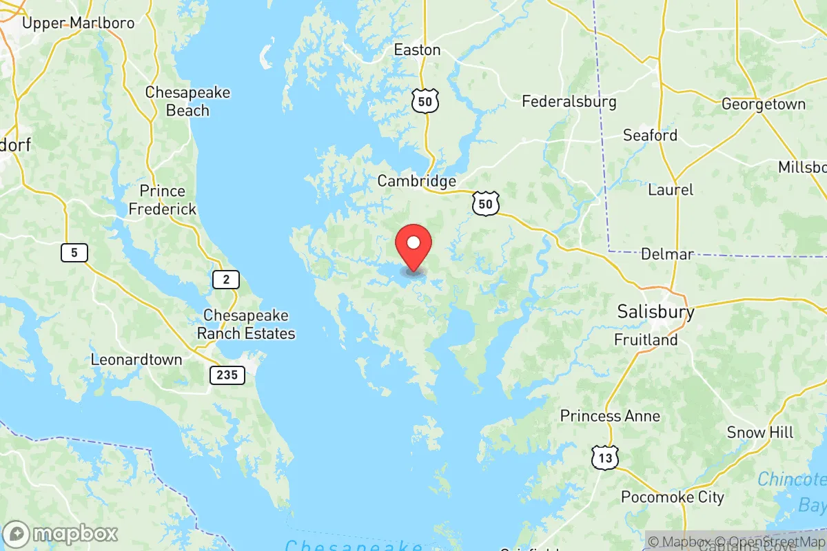
Dorchester County sits on Maryland’s Eastern Shore, a region defined by the Chesapeake Bay to the west and the Atlantic Ocean to the east, with the Choptank River cutting through its center. This location offers a natural moat effect: the Bay Bridge (US 50/301) and the Chesapeake Bay Bridge-Tunnel are the primary vehicular links to the mainland, creating chokepoints that could be controlled or monitored during a crisis. The county’s terrain is predominantly flat, with extensive marshlands, forests, and farmland—ideal for subsistence agriculture and water sourcing. Cambridge, the county’s largest town with roughly 12,000 residents, serves as a regional hub for supplies and medical care, while smaller communities like Hurlock, Vienna, and Secretary offer even lower profiles. The area’s agricultural output—soybeans, corn, wheat, and poultry—means local food production is a tangible asset, not just a theoretical one. The county’s 30+ miles of Chesapeake Bay shoreline provide access to abundant seafood and fresh water, though brackish conditions in tidal creeks require well-drilling or rainwater catchment for potable supplies.
Risks, exposures, and proximity to fallout-relevant landmarks
Dorchester County’s primary vulnerability is its coastal geography. Storm surge from hurricanes and nor’easters poses a real threat, particularly in low-lying areas near the Bay and the Choptank River, with the National Hurricane Center’s SLOSH model showing much of Cambridge and surrounding farmland at risk from Category 2+ storms. Flooding from heavy rain is also common, as the flat terrain drains slowly. For a reader concerned with man-made risks, the county’s distance from major strategic targets is a double-edged sword. It lies roughly 80 miles from Washington, D.C., and 60 miles from Baltimore—both high-probability targets in a conflict scenario. However, the Eastern Shore’s separation by the Bay means fallout patterns would likely be diluted by water and prevailing westerly winds, reducing ground contamination compared to areas downwind of the capital. Nearby military installations include the Naval Air Station Patuxent River (NAS Pax River) in St. Mary’s County, about 40 miles southwest, a key hub for naval aviation testing. While not a primary nuclear target, its strategic role could draw secondary strikes or create electromagnetic pulse (EMP) effects. The county also sits within 100 miles of the Calvert Cliffs Nuclear Power Plant in neighboring Calvert County, a potential target for sabotage or accident. On the positive side, Dorchester lacks major refineries, ports, or industrial complexes—the closest significant industrial site is the Port of Baltimore, 70 miles north, which is a high-value target but far enough to limit direct fallout exposure. The county’s rural character means fewer secondary targets like power substations or rail yards, reducing the risk of cascading infrastructure failures.
Practical resilience for a relocator: food, water, energy, and defensibility
For a family or individual serious about self-sufficiency, Dorchester County offers a strong baseline. Agricultural land is abundant and relatively affordable, with farmland prices around $5,000–$8,000 per acre as of 2025, making it feasible to establish a homestead with gardens, orchards, and livestock. The county’s poultry industry—centered around companies like Perdue and Mountaire—means a ready supply of feed and processing knowledge. Water access is a mixed picture: shallow wells are common but can be brackish near the coast, so deep wells or rainwater collection systems are advisable. The Choptank River and its tributaries provide surface water for non-potable uses, but treatment is necessary for drinking. Energy resilience is achievable: the county’s flat terrain and open fields are suitable for solar panel arrays, and many rural properties already rely on propane or heating oil, which can be stockpiled. Wood heating is viable given the extensive forests, but note that the county’s tree cover is predominantly softwood (loblolly pine) and mixed hardwoods, requiring seasoning for efficient burning. Defensibility is a key advantage: the county’s road network is sparse, with US 50 and MD 16 as the main arteries, and many secondary roads are dead ends or loop back to the same few routes. This natural chokepoint structure makes it easier to monitor access points, especially in the rural northern and eastern sections. The county’s population density is just 85 people per square mile, and much of the land is marsh or forest, providing cover and isolation. Cambridge’s hospital (University of Maryland Shore Medical Center) is a Level III trauma center, adequate for routine emergencies but not for major trauma—a factor to weigh for those with medical dependencies. Law enforcement presence is limited, with the Dorchester County Sheriff’s Office covering the entire county, so community-based security arrangements would be prudent.
Overall, Dorchester County presents a balanced strategic picture for a relocator focused on resilience. Its geographic isolation, agricultural capacity, and low industrial exposure make it a strong candidate for those seeking to avoid urban vulnerabilities, while its coastal risks and proximity to D.C.-area targets require proactive mitigation—such as elevating homes, securing water sources, and building community networks. For a conservative-leaning audience valuing self-reliance and preparedness, the county offers a realistic foundation: not a fortress, but a defensible, resource-rich environment where careful planning can yield long-term stability. The key is to treat it as a base for active resilience, not a passive safe zone, and to invest in the infrastructure—wells, solar, food storage—that turns its natural advantages into practical security.

* Values derived from national, state, county, city and local statistics and may differ in a specific area. Last updated: 2026-06-17T23:08:26.000Z
Narrative content on this page is AI-generated and may contain mistakes. Verify any details that matter before acting on them.
ReloMaps may earn a commission from affiliate links at no extra cost to you.

