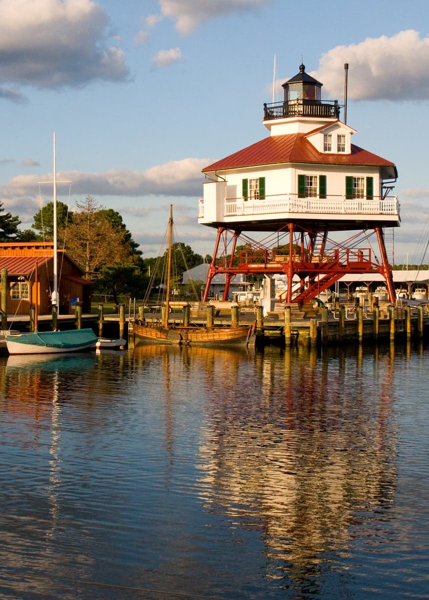
Photo: Wikipedia
Strategic Assessment of Calvert County
Meaningful friction. Expect exposure to either population pressure, blast zones, or natural disaster risk. Consider buying a retreat property.
What does the Strategic Assessment tell us?
Our Strategic Assessment grades tactical survivability of an area. Major population centers, military targets, fallout zones, natural disasters, and border exposure all drive risk — lower exposure means a more defensible position in a crisis.
This is heavily inspired by Joel Skousen's Strategic Relocation book. Highly recommended you checkout the book ($)What does this tell us?
Our Strategic Assessment grades tactical survivability of an area. Major population centers, military targets, fallout zones, natural disasters, and border exposure all drive risk — lower exposure means a more defensible position in a crisis.
This is heavily inspired by Joel Skousen's Strategic Relocation book. Highly recommended you checkout the book ($)Strategic Pillars

Key Distances
Strategic Assessment Analysis
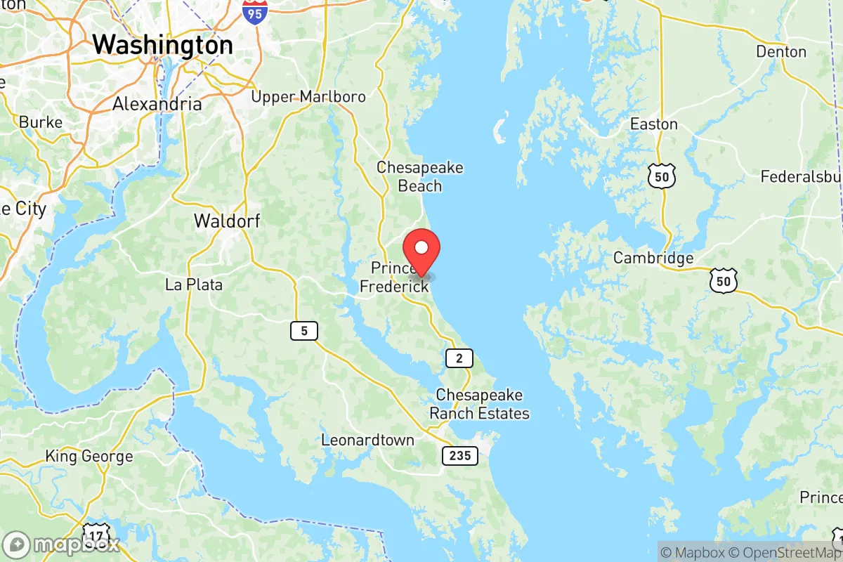
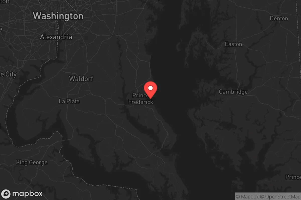
Calvert County, Maryland, occupies a strategic position on the Chesapeake Bay that offers a rare combination of natural isolation and practical accessibility for those prioritizing disaster readiness and self-sufficiency. Its location on a peninsula bounded by the Patuxent River to the west and the Chesapeake Bay to the east creates a natural buffer zone, while still placing residents within a manageable distance of major employment and supply centers like Washington, D.C. (roughly 45 miles northwest) and Annapolis (about 30 miles north). For a relocator weighing resilience against convenience, Calvert County presents a compelling case—provided you understand its specific exposures and how to mitigate them.
Geographic position and natural advantages for self-sufficiency
Calvert County’s defining feature is its peninsular geography, which inherently limits through-traffic and creates a defensible perimeter. The county is roughly 45 miles long and only 10 miles wide at its broadest point, with the Chesapeake Bay forming its eastern boundary and the Patuxent River its western edge. This means that only two primary road corridors—MD-2/4 (the main north-south artery) and MD-231 (connecting to the west)—provide vehicular access, making it easier to monitor and control movement during a crisis. The county’s rural character, with towns like Prince Frederick (the county seat), Solomons, and Lusby, means that large tracts of farmland, forest, and waterfront remain undeveloped, offering space for gardening, livestock, and rainwater catchment. The Chesapeake Bay and Patuxent River provide abundant fishing and crabbing opportunities, with blue crabs, striped bass, and oysters available seasonally. The area’s moderate climate—with average highs in the 80s°F in summer and lows in the 20s°F in winter—supports year-round food production, though the humid summers can challenge storage without proper drying or refrigeration. The county’s aquifer-based groundwater system is generally reliable, but well-dependent properties in rural areas should have backup hand pumps or storage tanks, as power outages can disrupt electric pumps.
Risks, exposures, and proximity to fallout-relevant landmarks
While Calvert County’s isolation is an asset, it is not immune to risks—and some are specific to its geography. The most significant natural threat is hurricane storm surge. The Chesapeake Bay’s shallow, funnel-like shape can amplify storm tides, with the county’s low-lying coastal areas—particularly around Solomons Island and Cove Point—vulnerable to flooding during major storms like Hurricane Isabel (2003) or Sandy (2012). Properties on the bay side should be elevated or set back from the shoreline. Tornadoes are less common but possible, with an average of 1-2 per year in the region. The county sits on the Atlantic Coastal Plain, which has low seismic risk, but the Calvert Cliffs Nuclear Power Plant (operated by Constellation Energy) at Lusby is a critical infrastructure point. While the plant has a strong safety record, its presence means that a major incident—however unlikely—could necessitate evacuation of the surrounding 10-mile emergency planning zone, which includes parts of Lusby and Solomons. For a relocator concerned with fallout from a broader conflict or industrial accident, the county’s distance from major metropolitan targets is a plus: Washington, D.C. is 45 miles northwest, and Baltimore is 60 miles north. However, the Patuxent River Naval Air Station (PAX River) in neighboring St. Mary’s County is only 15 miles south, and the Indian Head Naval Surface Warfare Center in Charles County is 20 miles west. These military installations could be secondary targets in a conflict, though their remote location relative to population centers reduces the likelihood of direct fallout reaching Calvert County. The county’s two major power plants—the nuclear facility and the Cove Point LNG terminal (a liquefied natural gas export facility)—are both on the Chesapeake Bay, meaning a coordinated attack or accident at either could disrupt regional energy supplies and create localized hazards.
Practical resilience for a relocator: food, water, energy, and defensibility
For a relocator serious about self-sufficiency, Calvert County offers a mix of strengths and gaps. Food production is viable: the county has over 200 farms, with many selling directly at farmers’ markets in Prince Frederick and Solomons. The growing season runs from April to October, and the sandy loam soils are well-suited for root vegetables, tomatoes, and corn. Hunting is permitted on public lands like American Chestnut Land Trust and Calvert Cliffs State Park, with white-tailed deer and wild turkey available, though a Maryland hunting license is required. Water security is generally good for well owners, but municipal water systems in towns like Prince Frederick and Chesapeake Beach rely on electric pumps and treatment plants, making them vulnerable to grid failure. A backup generator (at least 5,000 watts) is advisable for well pumps, and rainwater collection is legal in Maryland with a permit for potable use. Energy resilience is mixed: the county has no natural gas distribution in many rural areas, so heating relies on propane, oil, or wood. Solar potential is moderate—the county averages 4.5 peak sun hours per day—but homeowners’ associations in some subdivisions may restrict panel placement. The Cove Point LNG terminal provides a local energy source, but its export orientation means it’s not a direct residential supply. Defensibility is the county’s strongest card: the peninsular geography, limited road access, and low population density (about 340 people per square mile) make it easier to secure a homestead. The Calvert County Sheriff’s Office has a strong presence, with response times averaging 10-15 minutes in rural areas, but in a prolonged crisis, residents should plan for self-defense and neighborhood watch networks. The county’s emergency management system is well-regarded, with regular drills and a robust alert system, but it’s designed for short-term events, not long-term collapse scenarios.
Overall, Calvert County presents a strong strategic option for the resilience-minded relocator, but it is not a bug-out location for doomsday purists. Its strengths—natural isolation, abundant water access, productive farmland, and low population density—are balanced by real exposures: hurricane surge, proximity to military and energy infrastructure, and dependence on grid-dependent utilities. The ideal candidate is someone who wants a defensible, self-sufficient property within a 90-minute drive of Washington, D.C., who is willing to invest in backup power, water storage, and storm hardening. For families, the county’s excellent public schools (ranked among Maryland’s top 10) and low crime rate (violent crime is roughly half the national average) add everyday livability. For singles, the slower pace and outdoor recreation (boating, hiking, fishing) offer a quality of life that many urban refugees seek. The bottom line: Calvert County is a solid, middle-of-the-road choice for strategic relocation—not the most extreme in resilience, but one of the most balanced for those who want to be prepared without living off-grid in the wilderness.
* Values derived from national, state, county, city and local statistics and may differ in a specific area. Last updated: 2026-06-12T16:56:14.000Z
Narrative content on this page is AI-generated and may contain mistakes. Verify any details that matter before acting on them.
ReloMaps may earn a commission from affiliate links at no extra cost to you.