 Popular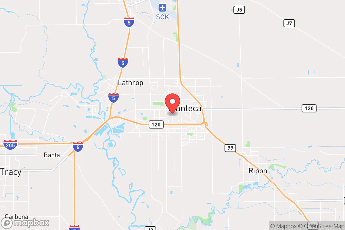
Photo: Wikipedia
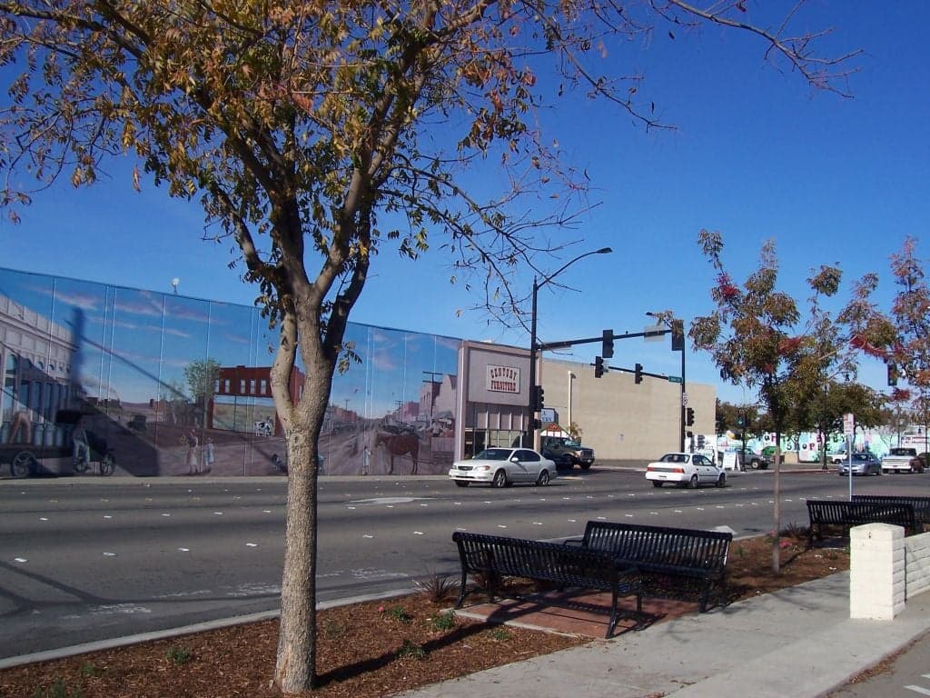
Strategic Assessment of Manteca, CA
Multiple tactical vulnerabilities. Population density, target proximity, or disaster risk are likely compounding. A retreat property and exit planning is required.
What does the Strategic Assessment tell us?
Our Strategic Assessment grades tactical survivability of an area. Major population centers, military targets, fallout zones, natural disasters, and border exposure all drive risk — lower exposure means a more defensible position in a crisis.
This is heavily inspired by Joel Skousen's Strategic Relocation book. Highly recommended you checkout the book ($)What does this tell us?
Our Strategic Assessment grades tactical survivability of an area. Major population centers, military targets, fallout zones, natural disasters, and border exposure all drive risk — lower exposure means a more defensible position in a crisis.
This is heavily inspired by Joel Skousen's Strategic Relocation book. Highly recommended you checkout the book ($)Strategic Pillars

Key Distances
Regional Safe Places
Below is our recommended "safe zones" in California and the surrounding area based on our strategic heuristics. For most people, it's unrealistic to live in a “safe zone” full-time due to work, family or other personal reasons. They tend to be more rural. However, many of these areas are perfect for second homes and retreat properties that double as a vacation home or even a short-term rental.




Important Note: For informational purposes only. This does not mean nothing bad ever happens in the green zones. Please use common sense. This is based on public data and modeled with AI. We tried to take a conservative approach but mistakes happen. We update this regularly as new information becomes available.
Solar Generator Recommendations
Backup power matters more here than in safer locations. We've picked three solar generators across budgets and capacity tiers — start with the budget unit if you only need a few essentials, or step up if you want to run a fridge and HVAC for days at a time.

Jackery Portable Power Station Explorer 300
Budget OptionPower on the Go: Weighing only 11 lbs, it's convenient to set up and store with book-sized foldable solar panels

BLUETTI Portable Power Station AC180
Designed for both indoor and outdoor scenarios, AC180 is highly capable as it has a robost capacity and continuous output power.

EF ECOFLOW DELTA Pro Ultra Power Station
Upgraded PickEcoFlow DELTA Pro Ultra is a whole-home energy system designed to grow with your family. Integrated with the Smart Home Panel 2, it scales to meet your evolving energy needs — keeping your home powered, intelligent, and secure through every stage of life.
We earn a commission, at no additional cost to you.
Strategic Assessment Analysis
Manteca, California, offers a mixed strategic picture for the relocation-minded reader focused on resilience and self-sufficiency. Its location in the northern San Joaquin Valley provides genuine geographic advantages—ample groundwater, fertile soil, and distance from the immediate blast zones of major coastal targets—but those advantages are partially offset by proximity to the sprawling Sacramento-San Joaquin Delta and the logistical choke points of Interstate 5 and Highway 99. For a family or individual weighing disaster readiness, Manteca is not a hardened bunker, but it is a defensible agricultural hub with real potential for post-event sustenance if you plan ahead.
Geographic position and natural advantages for long-term stability
Manteca sits roughly 75 miles east of San Francisco and 40 miles south of Sacramento, placing it outside the likely high-casualty radius of a nuclear detonation on either city. The prevailing westerly winds would carry fallout from a Bay Area strike toward the Sierra Nevada, meaning Manteca would likely see only light to moderate contamination, not lethal levels, provided the wind direction holds. The city lies on the eastern edge of the San Joaquin Valley floor, where the water table is high and the soil is rich—historically among the most productive agricultural land in the world. This means local food production is not a theoretical exercise; row crops, orchards, and dairies surround the city. The nearby Stanislaus River and the Delta-Mendota Canal provide surface water access, and the region's groundwater basin is substantial, though overdrafted in dry years. Elevation is near sea level (roughly 20–30 feet), so flooding from the Delta is a real but manageable risk—most of Manteca sits above the 100-year floodplain, though low-lying areas near the San Joaquin River are not immune. The climate is Mediterranean, with hot, dry summers and mild, wet winters, which supports year-round gardening and solar energy generation.
Risks, exposures, and proximity to fallout-relevant landmarks
The most significant man-made risk for Manteca is its position along the Interstate 5 and Highway 99 corridors, which are primary evacuation routes and supply chains for the entire West Coast. In a major crisis—whether earthquake, nuclear event, or grid collapse—these highways would become clogged with refugees and military traffic, potentially cutting off Manteca from outside resupply and making egress difficult. The city is also within 50 miles of the Port of Stockton, a major inland port that could be a secondary target in a conflict, and within 100 miles of Travis Air Force Base, a strategic airlift hub that would be a high-priority target. The San Onofre Nuclear Generating Station is over 300 miles south, so not a direct threat, but the Diablo Canyon plant is roughly 200 miles southwest—close enough that a catastrophic release could affect the Central Valley under certain wind patterns. Natural hazards include earthquakes from the nearby San Andreas and Hayward faults; while Manteca is not in a high-shake zone, a major quake could disrupt the Delta levees, causing flooding and cutting off the region's water supply from the State Water Project. Wildfire risk is low within the city itself, but the surrounding grasslands and foothills burn regularly, creating smoke and potential evacuation pressure. Overall, Manteca's risks are moderate and manageable with preparation, but its reliance on fragile infrastructure (highways, levees, the grid) is the weak link.
Practical resilience for a relocator: food, water, energy, and defensibility
For a relocator serious about self-sufficiency, Manteca's practical resilience is above average for a California city of its size (roughly 85,000 residents). Food: The surrounding agricultural land is a genuine asset. You can buy directly from local farms, join a CSA, or grow your own on a standard suburban lot—the growing season runs from March through November. The nearby farmers' markets in Manteca and Ripon are well-stocked with produce, eggs, and meat. However, the city itself is not a food desert; grocery stores are plentiful, but in a prolonged grid-down scenario, those shelves would empty quickly. Water: Manteca's municipal water comes from a mix of groundwater and surface water from the Delta. A private well is possible in some outlying areas, but within city limits, you're on the municipal system. For resilience, storing at least 50 gallons per person is wise, and a Berkey or similar filter is essential if you need to treat surface water from the Stanislaus River or local canals. Energy: The Central Valley gets over 300 days of sun per year, making solar panels a no-brainer. Net metering is available, but for true off-grid capability, you'll need battery storage (e.g., Tesla Powerwall or a DIY lithium setup). Natural gas is widely available for cooking and heating, but in a prolonged outage, a backup propane tank or wood stove is more reliable. Defensibility: Manteca is a typical suburban grid layout—not a defensible position. The streets are wide, the lots are flat, and there are no natural chokepoints. However, the city's distance from major urban centers means that in a collapse scenario, you're less likely to face organized looting or refugee waves than in, say, Stockton or Modesto. The local police force is competent but small; for true security, you'll want to rely on a tight-knit neighborhood watch or a rural property on the outskirts. The nearby communities of French Camp and Lathrop are less desirable for resilience due to higher crime and industrial exposure.
The overall strategic picture for Manteca is that of a moderate-risk, moderate-reward relocation option for the disaster-conscious reader. It is not a remote mountain redoubt, nor is it a high-density urban kill box. Its strengths are agricultural self-sufficiency, decent water access, and a location that avoids the worst of California's earthquake and wildfire zones. Its weaknesses are its dependence on fragile transportation corridors, its proximity to secondary targets like Stockton and Travis AFB, and its suburban layout that offers little natural defensibility. For a family willing to invest in solar, water storage, and a well-stocked pantry, Manteca can be a viable base for riding out most regional disruptions. But if your primary concern is a full-scale societal collapse or a nuclear exchange, you would be better served by a more remote property in the Sierra foothills—say, around Sonora or Murphys—where population density is lower and natural barriers are stronger. Manteca is a solid B+ for practical resilience, but it is not a bug-out location. It is a place to live and prepare, not a place to hide.

* Values derived from national, state, county, city and local statistics and may differ in a specific area. Last updated: 2026-08-23T00:46:30.000Z
Narrative content on this page is AI-generated and may contain mistakes. Verify any details that matter before acting on them.
ReloMaps may earn a commission from affiliate links at no extra cost to you.

