
Photo: Wikipedia
Strategic Assessment of York County
Multiple tactical vulnerabilities. Population density, target proximity, or disaster risk are likely compounding. A retreat property and exit planning is required.
What does the Strategic Assessment tell us?
Our Strategic Assessment grades tactical survivability of an area. Major population centers, military targets, fallout zones, natural disasters, and border exposure all drive risk — lower exposure means a more defensible position in a crisis.
This is heavily inspired by Joel Skousen's Strategic Relocation book. Highly recommended you checkout the book ($)What does this tell us?
Our Strategic Assessment grades tactical survivability of an area. Major population centers, military targets, fallout zones, natural disasters, and border exposure all drive risk — lower exposure means a more defensible position in a crisis.
This is heavily inspired by Joel Skousen's Strategic Relocation book. Highly recommended you checkout the book ($)Strategic Pillars

Key Distances
Strategic Assessment Analysis
York County, Maine offers a compelling balance of remoteness from major strategic targets and access to critical resources, making it a serious consideration for relocators prioritizing disaster readiness and long-term self-sufficiency. Its position along the southern Maine coast provides a buffer from the dense urban corridors of Boston and New York, while its working-class towns and rural stretches maintain a culture of practical independence. For a family or individual weighing resilience alongside quality of life, this county presents a defensible geographic position with distinct advantages and calculated risks.
Geographic position and natural advantages: how York County sits apart from the urban core
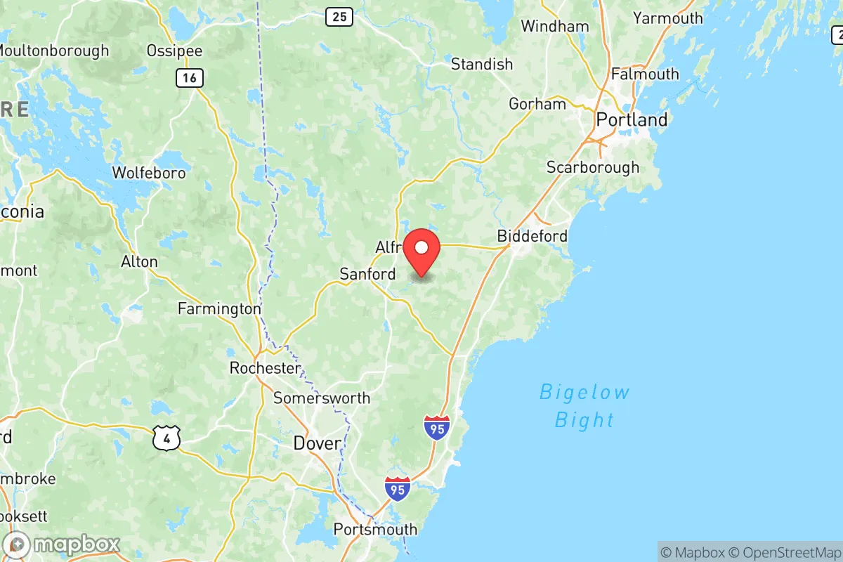
York County’s strategic value begins with its location roughly 70 miles north of Boston and 30 miles southwest of Portland. This places it outside the immediate blast-and-fallout zones of those metropolitan areas while still allowing reasonable access to their medical and supply chains under normal conditions. The county’s terrain is a mix of coastal lowlands, inland forests, and the southern foothills of the White Mountains, offering varied defensive and resource options. Major towns like Sanford, Biddeford, and Saco sit inland along the Saco River watershed, providing reliable freshwater access away from the immediate coast, while Kennebunk and Kittery anchor the shoreline. The presence of the Portsmouth Naval Shipyard on the Kittery-Portsmouth border is a notable exception—it is a high-value military installation that could attract strategic attention in an extended conflict. However, the yard’s island location and river approach mean fallout patterns would mostly drift east over the Atlantic, limiting secondary exposure to inland York County communities. The region’s significant forest cover—over 75% of the county is wooded—provides natural shielding from thermal pulse and offers ample building materials and cover.
Risks, exposures, and proximity to fallout-relevant landmarks
No analysis would be honest without naming the liabilities. York County’s most exposed point is the Kittery area, within three miles of the Portsmouth Naval Shipyard—a nuclear-capable submarine repair facility that is a Category I target in any major conflict scenario. Towns within a ten-mile radius, including Kittery, Eliot, and parts of South Berwick, would face significant fallout risk if the yard were struck. Further north, the Maine Yankee nuclear plant site in Wiscasset (decommissioned but still containing spent fuel) is roughly 40 miles away; prevailing winds from the southwest in summer would carry any release toward the coastal communities, not inland York County. On the natural hazards side, the county faces moderate hurricane storm-surge risk along the coast from Ogunquit to Old Orchard Beach, but most inland towns—Sanford, Waterboro, Limerick—lie at elevations above 300 feet and are largely insulated from tidal flooding. Winter ice storms are the most frequent disruptor, with power outages lasting 3–7 days being common in rural route areas near Acton and Newfield. There are no major oil refineries, chemical plants, or large-scale military airfields within York County’s borders, which significantly reduces its baseline man-made risk compared to equivalent counties near Baltimore or Houston.
Practical resilience for a relocator: food, water, energy, and defensibility
For someone serious about self-sufficiency, York County’s practical assets are strong. The Saco River watershed provides surface water that is generally clean and easy to filter, and groundwater aquifers in the central and western parts of the county are deep and reliable—most private wells in the towns of Shapleigh, North Berwick, and the more rural portions of Alfred produce at 10–20 gallons per minute, sufficient for a family and some livestock. Local food production is viable: the growing season runs from mid-May to late September, and the county has over 400 farms, many of them small-scale vegetable, poultry, and dairy operations. The weekly farmers’ markets in Sanford and Kennebunk are year-round affairs, with area residents accustomed to canning and winter storage. For energy, firewood is the dominant off-grid heating fuel, and public woodlots in the York County Forestry District allow residents to harvest permits for $10–20 per cord. Solar potential is moderate—roughly 4.2 peak sun hours per day, enough for a well-panel system but requiring battery backup for New England’s long overcast stretches. The county’s defensibility is aided by its mix of dense forest, river barriers (the Saco River creates a natural choke point between Saco and Biddeford), and limited road networks—only two interstate exits (I-95 at Kittery and Wells) plus Route 1 and Route 109 provide primary access. This makes it easier to monitor movement into the area than the sprawling corridors of southern New Hampshire.
The overall strategic picture for York County
York County is not a survivalist bunker destination, but it is a well-positioned buffer zone for someone who wants to stay within a day’s drive of Boston’s medical resources while sleeping in a location with minimal strategic value to a long-range strike planner. Its greatest weakness is the Portsmouth Naval Shipyard proximity in Kittery and the coastal exposure to storm surge. Its strengths are abundant water, workable soils, and a local culture that still values hunting, wood heat, and neighborly mutual aid. For the relocator seeking a place that offers a realistic middle path—prepared without being paranoid, rural without being cut off—York County, Maine, with its inland towns like Sanford and Waterboro, represents a serious option worth mapping out in your relocation plan. Factor in the higher property taxes (Maine’s statewide median is 1.29% of assessed value, among the highest in the U.S.) and the winter heating costs, and you’ve got a solid, grounded choice for long-term resilience.

* Values derived from national, state, county, city and local statistics and may differ in a specific area. Last updated: 2026-07-06T08:35:34.000Z
Narrative content on this page is AI-generated and may contain mistakes. Verify any details that matter before acting on them.
ReloMaps may earn a commission from affiliate links at no extra cost to you.

