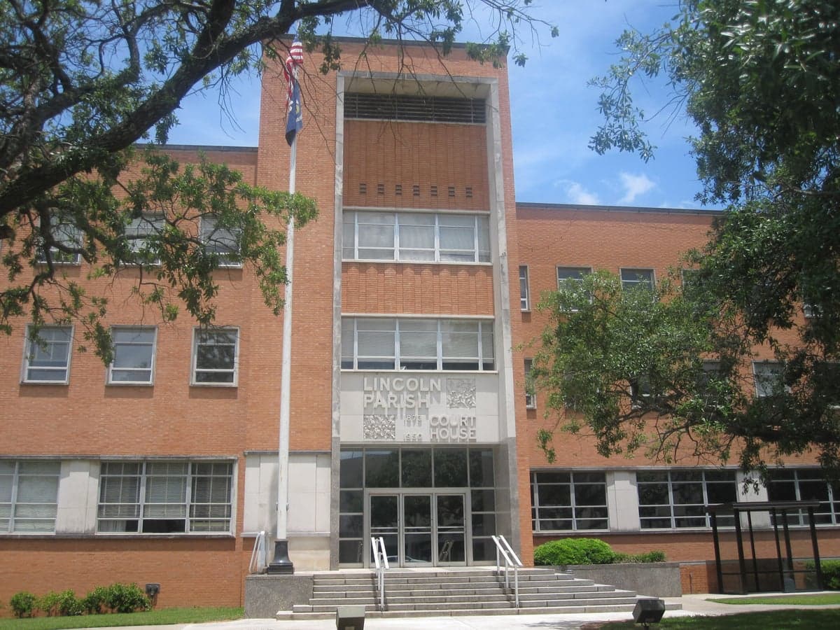
Photo: Wikipedia
Strategic Assessment of Lincoln County
Workable tactical position. Some exposure to population density or targets, but generally defensible in a crisis.
What does the Strategic Assessment tell us?
Our Strategic Assessment grades tactical survivability of an area. Major population centers, military targets, fallout zones, natural disasters, and border exposure all drive risk — lower exposure means a more defensible position in a crisis.
This is heavily inspired by Joel Skousen's Strategic Relocation book. Highly recommended you checkout the book ($)What does this tell us?
Our Strategic Assessment grades tactical survivability of an area. Major population centers, military targets, fallout zones, natural disasters, and border exposure all drive risk — lower exposure means a more defensible position in a crisis.
This is heavily inspired by Joel Skousen's Strategic Relocation book. Highly recommended you checkout the book ($)Strategic Pillars

Key Distances
Strategic Assessment Analysis
Lincoln County, Louisiana, offers a compelling strategic position for relocators prioritizing resilience and self-sufficiency, combining relative geographic isolation with access to the economic and logistical corridors of the Ark-La-Tex region. The county, anchored by the town of Ruston and the smaller communities of Dubach, Simsboro, and Grambling, sits atop the natural buffer of the North Louisiana hills, providing a terrain advantage that flat coastal zones cannot match. For a family or individual thinking seriously about disaster readiness, Lincoln County presents a balanced profile: far enough from major metropolitan targets to reduce fallout risk, yet close enough to essential infrastructure to maintain a functional modern life.
Geographic position and natural advantages for long-term stability
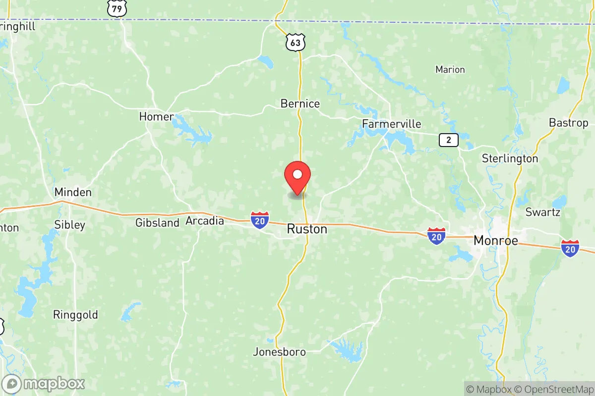
Lincoln County's location in the rolling pine hills of North Louisiana provides a natural defensive layer that is rare in the Gulf South. The area sits roughly 60 miles south of the Arkansas border and 100 miles east of Texas, placing it outside the immediate blast and fallout zones of larger strategic targets like Shreveport's Barksdale Air Force Base or the chemical complexes along the Mississippi River near Baton Rouge. The terrain itself—characterized by moderate elevation changes, clay and sandy loam soils, and extensive pine and hardwood forests—offers natural water drainage and reduces flood risk compared to southern Louisiana parishes. The county is drained by the Dugdemona River and Corney Creek watersheds, which feed into the larger Ouachita River basin, providing reliable surface water sources that do not depend on vulnerable municipal pumping stations. Ruston, the county seat, sits at roughly 300 feet above sea level, a meaningful elevation advantage in a state where much of the population lives near or below sea level. This elevation, combined with the region's clay subsoils, also supports groundwater wells that are less prone to saltwater intrusion than coastal aquifers, a critical factor for long-term water security.
Risk exposure, proximity to fallout-relevant landmarks, and man-made hazards
While Lincoln County avoids the highest-risk zones, it is not without exposure. The most significant man-made risk comes from the I-20 corridor, which runs directly through Ruston and carries hazardous materials—including refined fuels, industrial chemicals, and liquefied petroleum gas—between the Dallas-Fort Worth metroplex and the Mississippi River industrial corridor. A derailment or truck accident involving these materials could affect air and water quality in the immediate vicinity, particularly along the rail lines that parallel the interstate. Additionally, the county lies approximately 90 miles east of Barksdale Air Force Base in Bossier City, a primary strategic bomber base that would be a high-priority target in a major conflict. While 90 miles provides substantial fallout attenuation, prevailing westerly winds could carry particulate matter into the eastern Ark-La-Tex region depending on detonation altitude and weather patterns. The county also sits roughly 120 miles northwest of the Louisiana Chemical Corridor along the Mississippi River between Baton Rouge and New Orleans, a dense concentration of refineries and petrochemical plants that would be secondary targets. For natural hazards, Lincoln County faces moderate tornado risk—part of the Dixie Alley extension—and occasional ice storms that can disrupt power for days. The 2021 winter storm that crippled Texas also caused rolling blackouts and water system failures in Ruston, demonstrating that even well-prepared areas face grid vulnerability during extreme weather events.
Practical resilience for a relocator: food, water, energy, and defensibility
For a relocator focused on self-sufficiency, Lincoln County offers several structural advantages. The agricultural base is solid: Lincoln County has over 600 farms covering roughly 150,000 acres, with major production in poultry, timber, hay, and row crops like corn and soybeans. The Ruston Farmers Market operates year-round, and local producers supply meat, eggs, and vegetables within a 30-mile radius, reducing dependence on long supply chains. Water access is favorable for a rural parish: the Sparta Aquifer, one of the most productive groundwater sources in the South, underlies the region and provides high-quality water to Ruston and surrounding communities. For those drilling private wells, typical depths range from 100 to 300 feet with yields sufficient for household and garden use. Energy resilience is mixed: while the county is served by Entergy Louisiana and several rural electric cooperatives, the grid is vulnerable to ice storms and summer peak loads. However, the region's abundant timber biomass and growing interest in solar microgrids—exemplified by the Louisiana Tech University research programs in Ruston—offer pathways for off-grid energy generation. Defensibility is a strong point: the county's low population density (roughly 50 people per square mile), combined with the natural screening of pine forests and rolling hills, makes it difficult to traverse without local knowledge. The small-town social structure—particularly in Dubach (population ~800) and Simsboro (~800)—means that newcomers who integrate into church communities, volunteer fire departments, and local civic groups gain a layer of mutual-aid security that is absent in anonymous suburban subdivisions.
The overall strategic picture for Lincoln County is one of moderate resilience with clear trade-offs. It is not a bug-out location in the remote wilderness sense—it has a functioning university town, a regional medical center (Northern Louisiana Medical Center in Ruston), and reliable internet infrastructure—but it is also not a high-security redoubt. Its strength lies in its balance: enough distance from primary targets to reduce fallout risk, enough agricultural and water resources to support a semi-self-sufficient lifestyle, and enough community cohesion to enable cooperative preparedness. The weaknesses are the I-20 hazard transport corridor, the moderate tornado risk, and the grid fragility during winter storms. For a conservative-leaning family or individual who wants to be prepared without going off-grid entirely, Lincoln County represents a defensible middle ground—a place where you can raise chickens, drill a well, and know your neighbors, while still driving 20 minutes to a Walmart or a minor league baseball game in Ruston. The key is to choose a property south of the I-20 corridor, preferably on a gravel road with good drainage, and to invest in a backup generator and a reliable well before the next ice storm reminds everyone why resilience matters.

* Values derived from national, state, county, city and local statistics and may differ in a specific area. Last updated: 2026-07-20T16:30:40.000Z
Narrative content on this page is AI-generated and may contain mistakes. Verify any details that matter before acting on them.
ReloMaps may earn a commission from affiliate links at no extra cost to you.

