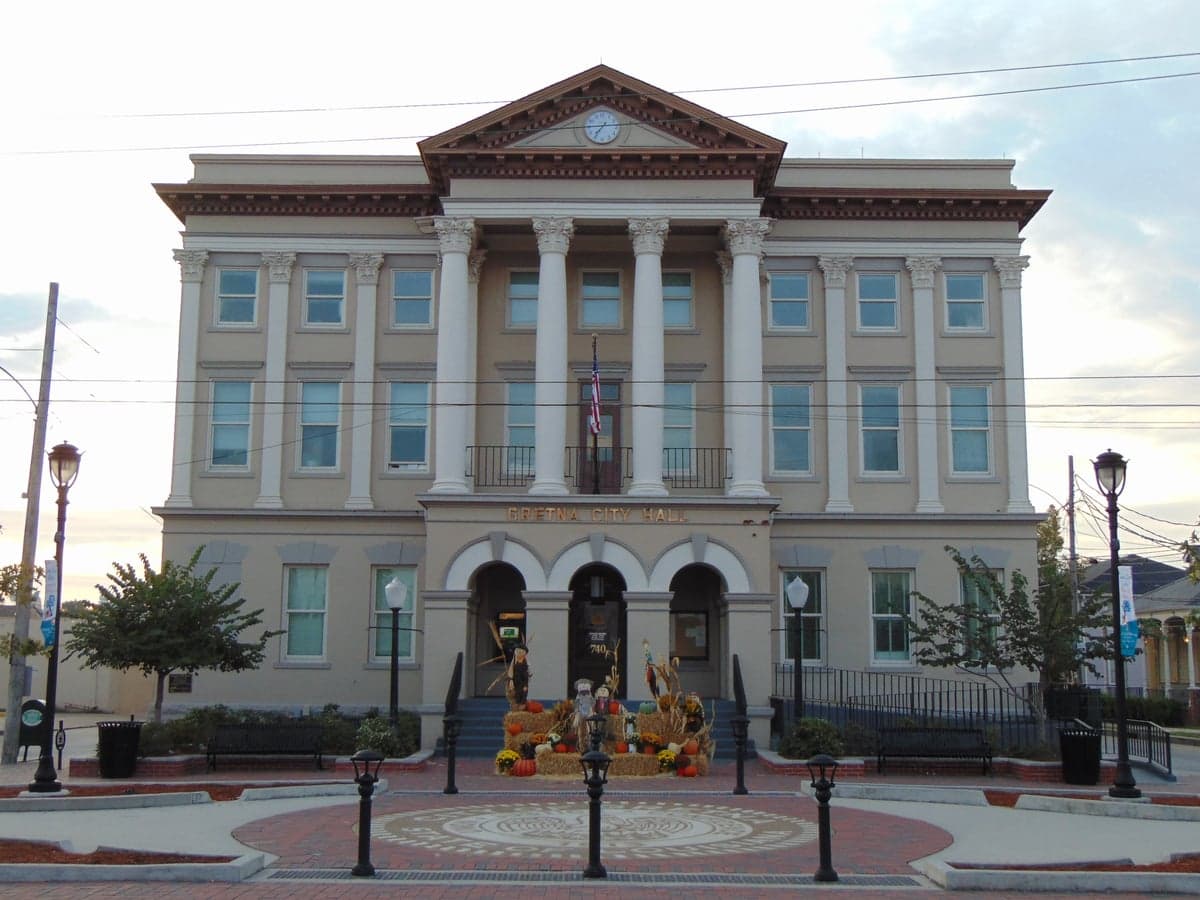
Photo: Wikipedia
Strategic Assessment of Jefferson County
Multiple tactical vulnerabilities. Population density, target proximity, or disaster risk are likely compounding. A retreat property and exit planning is required.
What does the Strategic Assessment tell us?
Our Strategic Assessment grades tactical survivability of an area. Major population centers, military targets, fallout zones, natural disasters, and border exposure all drive risk — lower exposure means a more defensible position in a crisis.
This is heavily inspired by Joel Skousen's Strategic Relocation book. Highly recommended you checkout the book ($)What does this tell us?
Our Strategic Assessment grades tactical survivability of an area. Major population centers, military targets, fallout zones, natural disasters, and border exposure all drive risk — lower exposure means a more defensible position in a crisis.
This is heavily inspired by Joel Skousen's Strategic Relocation book. Highly recommended you checkout the book ($)Strategic Pillars

Key Distances
Strategic Assessment Analysis
Jefferson Parish, Louisiana, presents a complex strategic picture for the relocation-minded reader focused on resilience and preparedness. While its position within the greater New Orleans metropolitan area introduces significant exposure to both natural and man-made risks, the parish’s specific geography, infrastructure, and community assets offer a mixed bag of advantages and liabilities that demand careful consideration. For the single individual or family weighing disaster readiness and self-sufficiency, Jefferson Parish is not a straightforward recommendation, but its unique location—straddling the Mississippi River and the Gulf Intracoastal Waterway—provides a baseline of logistical connectivity that can be leveraged for supply and egress, provided one understands the trade-offs.
Geographic position and natural advantages for resilience
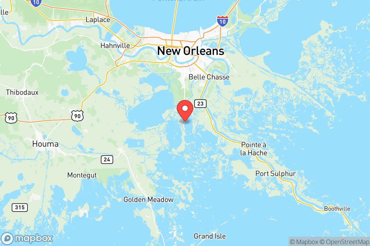
Jefferson Parish’s geography is defined by its position on the Mississippi River delta, with the river itself forming the parish’s southern boundary. The parish is divided into two distinct sections: the East Bank, which includes the cities of Kenner, Metairie, and the unincorporated community of River Ridge, and the West Bank, which includes Gretna, Harvey, Marrero, and Westwego. The East Bank is largely protected by a levee system that has been significantly upgraded after Hurricane Katrina, but the West Bank remains more exposed to storm surge from the Gulf of Mexico via Barataria Bay. The parish’s elevation is uniformly low—most of the developed area sits at or below sea level—which is a fundamental vulnerability. However, the Mississippi River itself provides a reliable freshwater source, and the parish’s position at the nexus of the river, the Intracoastal Waterway, and the Gulf means that barge and ship traffic can deliver bulk supplies (fuel, grain, construction materials) even if road access is compromised. The nearby Louis Armstrong New Orleans International Airport (MSY), located in Kenner, is a major logistical hub that can serve as a staging point for relief supplies, though it also represents a potential target in a conflict scenario. The parish’s proximity to the Bonnet Carré Spillway in neighboring St. Charles Parish—a flood-control structure that diverts Mississippi River water into Lake Pontchartrain—is a double-edged sword: it reduces flood risk for the river itself but can cause ecological and economic disruption when opened.
Risks, exposures, and proximity to fallout-relevant landmarks
Jefferson Parish’s strategic liabilities are substantial and center on its location within the New Orleans metropolitan area, which concentrates both population and critical infrastructure. The parish is home to the Norco Manufacturing Complex (a Shell refinery and chemical plant) in neighboring St. Charles Parish, as well as the Chalmette Refinery in St. Bernard Parish, both of which are within 15-20 miles of central Jefferson. These facilities are obvious targets for both natural disaster-related accidents (e.g., chemical releases during hurricanes) and man-made events. The parish also contains the Harvey Canal, a major industrial waterway lined with grain elevators, chemical storage, and bulk fuel terminals, which runs through the heart of the West Bank. A disruption or attack on this canal could create a cascading hazard zone affecting tens of thousands of residents. Additionally, the Louis Armstrong International Airport and the Naval Air Station Joint Reserve Base New Orleans (located in Belle Chasse, just south of the parish line in Plaquemines Parish) are potential military targets. The parish’s dense suburban development—Metairie alone has a population density exceeding 3,000 people per square mile—means that evacuation routes are limited and easily clogged. The primary evacuation corridor, Interstate 10, runs through the heart of the East Bank and is vulnerable to flooding and storm surge. The Lake Pontchartrain Causeway, which connects Metairie to the North Shore, is a critical egress point but can be closed in high winds. For the resilience-minded relocator, the concentration of industrial hazards and the difficulty of rapid evacuation are significant negatives.
Practical resilience for a relocator: food, water, energy, and defensibility
On the practical side of daily survival and self-sufficiency, Jefferson Parish offers a few genuine advantages alongside notable weaknesses. The parish’s water supply comes from the Mississippi River, treated by the Jefferson Parish Water Department at plants in East and West Jefferson. This is a reliable source, but it is vulnerable to contamination from upstream industrial spills, saltwater intrusion during droughts (as seen in 2023), and power outages that disable pumping stations. A relocator should plan for at least two weeks of stored water and a high-quality filtration system capable of handling sediment and chemical contaminants. Food security is moderate: the parish has a robust network of grocery stores and big-box retailers, but the region’s reliance on trucked-in supplies means that a major disaster could empty shelves within 48 hours. Local agriculture is limited to small-scale operations in the lower West Bank and Plaquemines Parish, so a relocator should not count on local food production. Energy infrastructure is a mixed bag: Entergy Louisiana provides electricity, and the grid is vulnerable to hurricane damage, but the parish has a number of natural gas-fired power plants that can be restarted relatively quickly if gas supply lines remain intact. For off-grid energy, solar potential is moderate (the region gets about 60% of the sunlight of the desert Southwest), and wind is not a reliable option due to hurricane risk. Defensibility is poor: the parish is flat, densely populated, and crisscrossed by canals and highways, making it difficult to secure a property against civil unrest or looting. The Jefferson Parish Sheriff’s Office is well-funded and professional, but response times in a widespread emergency would be stretched thin. A relocator should prioritize a home with a raised foundation, a backup generator, and a secure perimeter (fencing, reinforced doors) if they choose to settle here.
The overall strategic picture for Jefferson Parish is one of high connectivity and high vulnerability. Its location on the Mississippi River and the Gulf Intracoastal Waterway provides unmatched logistical access for supplies and evacuation by water, but its low elevation, dense population, and proximity to major industrial and military targets create a risk profile that is difficult to mitigate. For the single individual or family with a strong disaster-preparedness plan—including stored supplies, a reliable vehicle, and a secondary location inland—Jefferson Parish can be a viable base of operations due to its economic opportunities and infrastructure. However, for those seeking a truly resilient, self-sufficient homestead, the parish’s liabilities likely outweigh its advantages. The best use of Jefferson Parish in a resilience strategy is as a logistical hub for staging supplies and coordinating with regional networks, not as a permanent residence for long-term survival. If you are determined to live here, focus on the West Bank’s less densely populated areas near the Lafitte or Barataria communities, where water access and lower population density offer a slight edge, but be prepared to evacuate early and often.

* Values derived from national, state, county, city and local statistics and may differ in a specific area. Last updated: 2026-06-17T14:32:28.000Z
Narrative content on this page is AI-generated and may contain mistakes. Verify any details that matter before acting on them.
ReloMaps may earn a commission from affiliate links at no extra cost to you.

