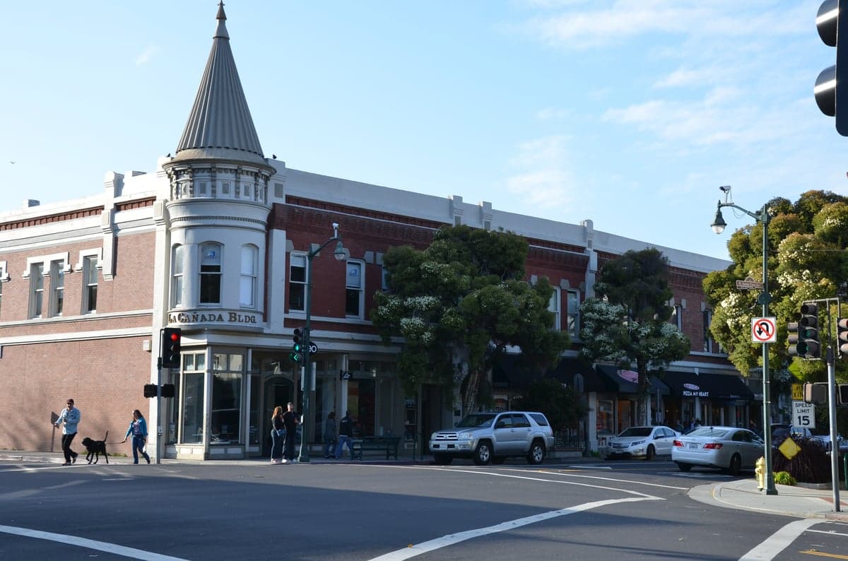
Photo: Wikipedia
Strategic Assessment of Los Gatos, CA
High tactical risk. This location is likely close to major population centers, strategic targets, or sits in a high-disaster corridor. A retreat property and careful exit planning is required.
What does the Strategic Assessment tell us?
Our Strategic Assessment grades tactical survivability of an area. Major population centers, military targets, fallout zones, natural disasters, and border exposure all drive risk — lower exposure means a more defensible position in a crisis.
This is heavily inspired by Joel Skousen's Strategic Relocation book. Highly recommended you checkout the book ($)What does this tell us?
Our Strategic Assessment grades tactical survivability of an area. Major population centers, military targets, fallout zones, natural disasters, and border exposure all drive risk — lower exposure means a more defensible position in a crisis.
This is heavily inspired by Joel Skousen's Strategic Relocation book. Highly recommended you checkout the book ($)Strategic Pillars

Key Distances
Regional Safe Places
Below is our recommended "safe zones" in California and the surrounding area based on our strategic heuristics. For most people, it's unrealistic to live in a “safe zone” full-time due to work, family or other personal reasons. They tend to be more rural. However, many of these areas are perfect for second homes and retreat properties that double as a vacation home or even a short-term rental.




Important Note: For informational purposes only. This does not mean nothing bad ever happens in the green zones. Please use common sense. This is based on public data and modeled with AI. We tried to take a conservative approach but mistakes happen. We update this regularly as new information becomes available.
Solar Generator Recommendations
Backup power matters more here than in safer locations. We've picked three solar generators across budgets and capacity tiers — start with the budget unit if you only need a few essentials, or step up if you want to run a fridge and HVAC for days at a time.

Jackery Portable Power Station Explorer 300
Budget OptionPower on the Go: Weighing only 11 lbs, it's convenient to set up and store with book-sized foldable solar panels

BLUETTI Portable Power Station AC180
Designed for both indoor and outdoor scenarios, AC180 is highly capable as it has a robost capacity and continuous output power.

EF ECOFLOW DELTA Pro Ultra Power Station
Upgraded PickEcoFlow DELTA Pro Ultra is a whole-home energy system designed to grow with your family. Integrated with the Smart Home Panel 2, it scales to meet your evolving energy needs — keeping your home powered, intelligent, and secure through every stage of life.
We earn a commission, at no additional cost to you.
Strategic Assessment Analysis
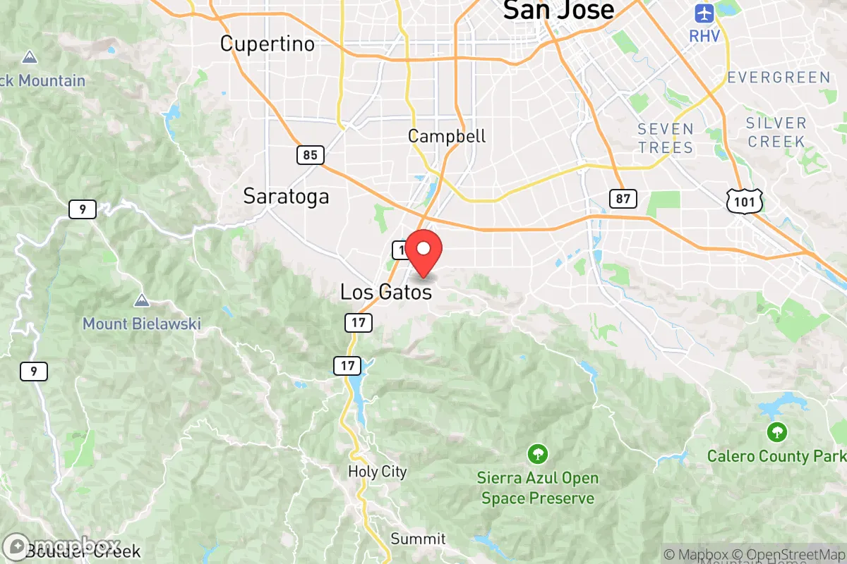
Los Gatos occupies a strategic niche in the Santa Cruz Mountains that offers genuine resilience advantages for those prioritizing disaster readiness, but its proximity to major Bay Area infrastructure and population centers introduces trade-offs that require careful consideration. Situated at the base of the Santa Cruz Mountains along Highway 17, the town sits roughly 15 miles southwest of San Jose and 30 miles from San Francisco, placing it within the economic orbit of Silicon Valley while maintaining a semi-rural character that supports a degree of self-sufficiency. For a relocator weighing security, access to resources, and exposure to cascading risks, Los Gatos presents a mixed picture: strong local governance and natural barriers provide a buffer, but the area’s dependence on regional supply chains and its location near high-value targets demand a clear-eyed assessment.
Geographic position and natural defensive advantages
Los Gatos benefits from a topography that naturally limits access and disperses risk. The town is nestled against the eastern slope of the Santa Cruz Mountains, with the 2,000-foot ridge of the Sierra Azul Open Space Preserve forming a western barrier. This elevation provides a natural defensive perimeter: only two primary road corridors—Highway 17 over the summit and Highway 9 through the San Lorenzo Valley—connect Los Gatos to the coast, while the eastern approach via Highway 85 and the Los Gatos Creek corridor is more exposed but still constrained by steep canyon walls. In a scenario involving regional disruption, these chokepoints could be controlled or bypassed by those familiar with the network of fire roads and hiking trails that crisscross the mountains. The town’s position also places it outside the immediate blast radius of major urban centers—San Jose’s downtown is 15 miles east, and the Port of Oakland is 40 miles north—while still allowing access to those areas for supply runs if conditions permit. The Mediterranean climate, with mild, wet winters and dry summers, supports year-round outdoor activity and reduces the risk of extreme cold or heat stress, though the summer fire season is a persistent concern.
Risks, exposures, and proximity to fallout-relevant landmarks
The most significant vulnerability for Los Gatos is its location within the broader Bay Area, a region dense with high-value infrastructure that could become a target in a conflict or a source of cascading failures. The town lies roughly 20 miles from the San Jose International Airport and 30 miles from the Port of Oakland, both of which are plausible targets for conventional or cyber attacks. The Lawrence Livermore National Laboratory, a nuclear research facility, is 35 miles east-northeast, and the Vandenberg Space Force Base is 180 miles south—outside immediate fallout range but relevant for broader regional disruption. More immediately, the Santa Clara Valley Transportation Authority’s light-rail system and the PG&E natural gas pipelines that run through the valley present risks of industrial accidents or sabotage. Los Gatos itself has no major military or industrial targets, but its proximity to Silicon Valley’s data centers and semiconductor fabs—many of which are in nearby San Jose and Cupertino—means that a cyber or EMP event could cripple the local economy and supply chains within hours. Wildfire is the most probable natural threat: the 2020 CZU Lightning Complex fire burned 86,000 acres in the Santa Cruz Mountains, coming within 5 miles of Los Gatos’s western edge, and the town’s evacuation routes (primarily Highway 17 and Highway 9) can become clogged quickly. Earthquake risk is moderate but real—the San Andreas Fault runs 10 miles west along the coast, and the Hayward Fault is 20 miles east—with the potential to disrupt water and power for weeks.
Practical resilience for a relocator: food, water, energy, and defensibility
For a relocator focused on self-sufficiency, Los Gatos offers a mix of assets and gaps. Water is a relative strength: the town draws from the Santa Clara Valley Water District, which manages a network of reservoirs including Lexington Reservoir (just 2 miles south) and Calero Reservoir (10 miles east). These surface water sources are supplemented by groundwater wells, and the district has invested in seismic retrofits and backup power for pumping stations. However, during a prolonged drought or after a major earthquake, rationing is likely, and private well owners in the hills may face reduced yields. Food security is moderate: Los Gatos has a handful of farmers’ markets and a few small farms in the surrounding hills, but the town is not a major agricultural producer. The Santa Clara Valley was once a fruit-growing region, but most orchards have been replaced by housing and tech campuses. For long-term food storage, residents rely on the Los Gatos Safeway and Whole Foods on Los Gatos Boulevard, which are vulnerable to supply chain disruptions. A better bet is the Campbell Farmers’ Market (5 miles north) or direct relationships with growers in the Pajaro Valley (30 miles south). Energy is a weak point: PG&E provides electricity and natural gas, and the grid is prone to Public Safety Power Shutoffs (PSPS) during high-fire-risk weather, which can last days. Solar adoption is high in the hills—many homes have rooftop panels with battery backup—but the town’s older neighborhoods near downtown are less prepared. Defensibility is mixed: the terrain provides natural chokepoints, but the town’s layout—a mix of dense downtown, suburban neighborhoods, and rural estates—means that a determined group could secure a perimeter only with significant effort. The Los Gatos Police Department is well-funded and responsive, but in a widespread emergency, response times would stretch thin. For a relocator, the ideal property would be in the Santa Cruz Mountains west of Highway 17, where lot sizes are larger, water is from private wells, and access is limited to a single road.
The overall strategic picture for Los Gatos is one of calculated trade-offs. The town offers a defensible position with natural barriers, a mild climate, and access to surface water, making it a viable base for a prepared individual or family. Its proximity to Silicon Valley provides economic opportunity and access to specialized goods and services, but that same proximity introduces exposure to regional risks—cyber attacks, industrial accidents, and supply chain fragility—that a more remote location would avoid. For a relocator who is willing to invest in solar, water storage, and food reserves, and who maintains a low profile, Los Gatos can serve as a resilient outpost. But for those seeking true isolation from the vulnerabilities of the Bay Area, the Santa Cruz Mountains farther west (e.g., Bonny Doon or the San Lorenzo Valley) or the Sierra Nevada foothills would offer fewer dependencies and lower risk profiles. Los Gatos is a compromise: it is not a fortress, but it is not a trap either—provided you go in with eyes open and a plan.

* Values derived from national, state, county, city and local statistics and may differ in a specific area. Last updated: 2026-09-19T04:56:55.000Z
Narrative content on this page is AI-generated and may contain mistakes. Verify any details that matter before acting on them.
ReloMaps may earn a commission from affiliate links at no extra cost to you.

