Photo: Wikipedia
Strategic Assessment of Lake Cavanaugh, WA
Workable tactical position. Some exposure to population density or targets, but generally defensible in a crisis.
What does the Strategic Assessment tell us?
Our Strategic Assessment grades tactical survivability of an area. Major population centers, military targets, fallout zones, natural disasters, and border exposure all drive risk — lower exposure means a more defensible position in a crisis.
This is heavily inspired by Joel Skousen's Strategic Relocation book. Highly recommended you checkout the book ($)What does this tell us?
Our Strategic Assessment grades tactical survivability of an area. Major population centers, military targets, fallout zones, natural disasters, and border exposure all drive risk — lower exposure means a more defensible position in a crisis.
This is heavily inspired by Joel Skousen's Strategic Relocation book. Highly recommended you checkout the book ($)Strategic Pillars

Key Distances
Regional Safe Places
Below is our recommended "safe zones" in Washington and the surrounding area based on our strategic heuristics. For most people, it's unrealistic to live in a “safe zone” full-time due to work, family or other personal reasons. They tend to be more rural. However, many of these areas are perfect for second homes and retreat properties that double as a vacation home or even a short-term rental.
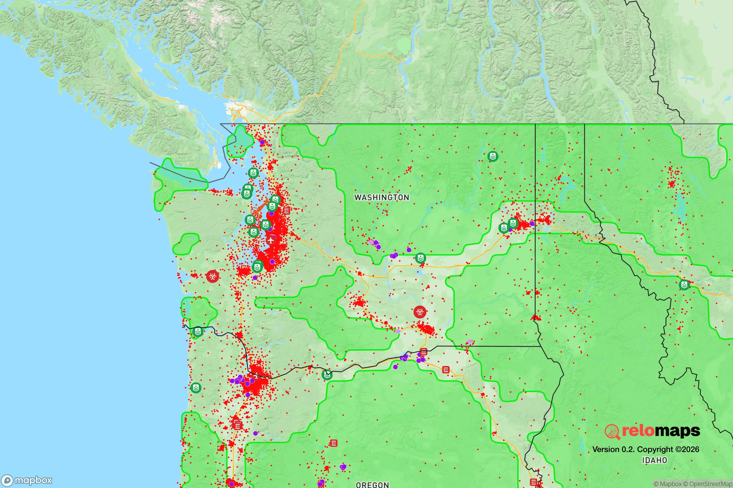
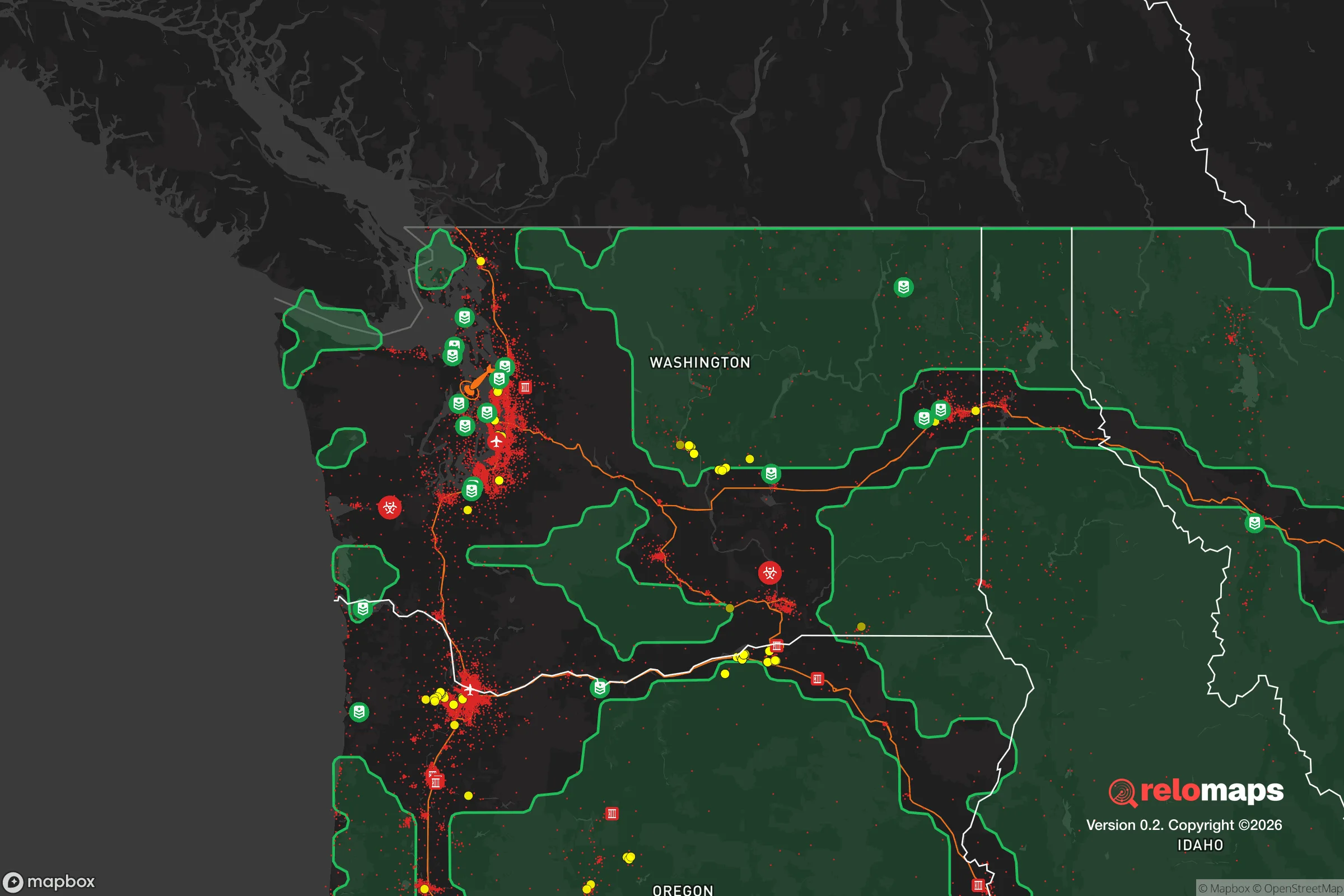


Important Note: For informational purposes only. This does not mean nothing bad ever happens in the green zones. Please use common sense. This is based on public data and modeled with AI. We tried to take a conservative approach but mistakes happen. We update this regularly as new information becomes available.
Solar Generator Recommendations
Backup power matters more here than in safer locations. We've picked three solar generators across budgets and capacity tiers — start with the budget unit if you only need a few essentials, or step up if you want to run a fridge and HVAC for days at a time.

Jackery Portable Power Station Explorer 300
Budget OptionPower on the Go: Weighing only 11 lbs, it's convenient to set up and store with book-sized foldable solar panels

BLUETTI Portable Power Station AC180
Designed for both indoor and outdoor scenarios, AC180 is highly capable as it has a robost capacity and continuous output power.

EF ECOFLOW DELTA Pro Ultra Power Station
Upgraded PickEcoFlow DELTA Pro Ultra is a whole-home energy system designed to grow with your family. Integrated with the Smart Home Panel 2, it scales to meet your evolving energy needs — keeping your home powered, intelligent, and secure through every stage of life.
We earn a commission, at no additional cost to you.
Strategic Assessment Analysis
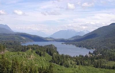
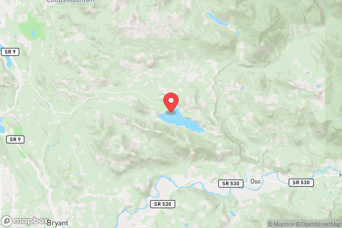
Lake Cavanaugh, Washington, offers a compelling strategic position for those prioritizing disaster readiness and self-sufficiency, primarily due to its location deep within Skagit County, roughly 20 miles east of Interstate 5 and the urban corridor. The community sits at an elevation of approximately 1,000 feet, nestled in the foothills of the North Cascades, which provides a natural buffer against the denser populations and infrastructure vulnerabilities of the Puget Sound lowlands. While not entirely remote, the area’s limited road access and surrounding national forest land create a meaningful separation from the major metropolitan centers of Seattle (about 70 miles south) and Vancouver, B.C. (about 90 miles north), reducing exposure to cascading urban failures and fallout-related risks.
Geographic position and natural advantages for long-term security
The lake itself is a significant asset, sitting within a forested basin that offers both water resources and natural concealment. The surrounding terrain—steep hillsides and dense coniferous forest—limits approach routes and provides a degree of defensibility that open or flat areas lack. The region’s temperate maritime climate, with moderate temperatures year-round and annual precipitation averaging 40–50 inches, supports reliable water availability and reduces the risk of extreme weather events like tornadoes or hurricanes. The proximity to the Mount Baker-Snoqualmie National Forest and the North Cascades National Park complex offers a vast, low-population hinterland for foraging, hunting, and potential retreat if conditions deteriorate. However, the same geography that provides isolation also means that winter storms can occasionally cut off access via the primary routes, such as Lake Cavanaugh Road, which connects to State Route 9 and then to I-5. This seasonal vulnerability is a double-edged sword: it discourages casual traffic but requires residents to maintain robust winter preparedness.
Risks, exposures, and proximity to fallout-relevant landmarks
Lake Cavanaugh’s primary risk exposure comes from its location within the Pacific Northwest’s seismic zone. The Cascadia subduction zone, capable of generating a magnitude 9.0+ earthquake, poses a direct threat to the region, with potential for ground shaking, landslides, and long-term infrastructure disruption. The community sits on relatively stable bedrock compared to the alluvial soils of the lowlands, which reduces liquefaction risk, but the steep slopes around the lake are susceptible to landslides during heavy rain or seismic events. Wildfire is a more immediate and recurring concern: the area is classified as a high-risk wildland-urban interface (WUI), with the 2020s seeing several nearby fires, including the 2023 Sourdough Fire that burned within 10 miles. On the man-made risk side, the community’s distance from major military installations (Joint Base Lewis-McChord is about 100 miles south) and the absence of nuclear power plants within 50 miles reduce direct fallout exposure. However, prevailing westerly winds from the Pacific could carry airborne contaminants from a major event in the Seattle-Tacoma industrial corridor, though the Cascade foothills provide some orographic shielding. The nearest significant infrastructure target is the I-5 corridor and the refineries at Anacortes and Cherry Point, roughly 40–50 miles west, which are plausible targets in a conflict scenario but far enough to avoid immediate blast effects.
Practical resilience for a relocator: food, water, energy, and defensibility
Water is Lake Cavanaugh’s strongest resilience asset. The lake itself is a year-round freshwater source, though residents should note that it is a natural lake with a small watershed, meaning drought conditions could lower levels. Most homes rely on private wells or lake water for irrigation, but few have municipal water treatment, so filtration and boiling capacity are essential. The surrounding national forest offers abundant game (deer, elk, black bear) and fish (trout in the lake and nearby streams), supporting a subsistence lifestyle for those with the skills and equipment. Soil quality in the area is generally poor—thin, acidic, and rocky—making large-scale gardening challenging without raised beds or imported soil. Food storage and preservation (canning, dehydrating) are more practical than year-round growing. Energy resilience is mixed: the area is served by Puget Sound Energy, with overhead lines that are vulnerable to wind and ice storms. Solar potential is moderate, with the region’s frequent cloud cover reducing winter generation, but a well-sized battery bank and backup generator (propane or diesel) are common among prepared residents. Wood heating is nearly universal, given the forested setting, and the abundance of deadfall provides a free, renewable fuel source. Defensibility is moderate: the single road in and out (Lake Cavanaugh Road) creates a natural chokepoint that can be monitored, but it also means evacuation or resupply is limited to one route. The community is small (estimated 200–300 year-round residents), which fosters mutual aid networks but also means limited collective resources for large-scale emergencies. Cell service is spotty, and internet is often via fixed wireless or satellite, so ham radio or satellite messengers are advisable for communications.
Overall, Lake Cavanaugh presents a balanced strategic picture for the disaster-conscious relocator. Its strengths lie in water availability, forest resources, and separation from major population centers and high-value targets. Its weaknesses are seismic and wildfire risks, limited road access, and poor agricultural soil. For a single individual or family willing to invest in winter preparedness, backup power, and self-defense training, the area offers a defensible, resource-rich base that is close enough to urban amenities (30–40 minutes to Mount Vernon or Arlington) for supply runs but far enough to avoid the worst of a regional collapse. The key trade-off is between isolation and access: those who prioritize security and self-sufficiency will find the trade acceptable, while those who require frequent resupply or medical access may find the remoteness a liability. For the right prepared household, Lake Cavanaugh is a solid, if not exceptional, choice in the Pacific Northwest resilience landscape.

* Values derived from national, state, county, city and local statistics and may differ in a specific area. Last updated: 2026-10-11T18:53:41.000Z
Narrative content on this page is AI-generated and may contain mistakes. Verify any details that matter before acting on them.
ReloMaps may earn a commission from affiliate links at no extra cost to you.

