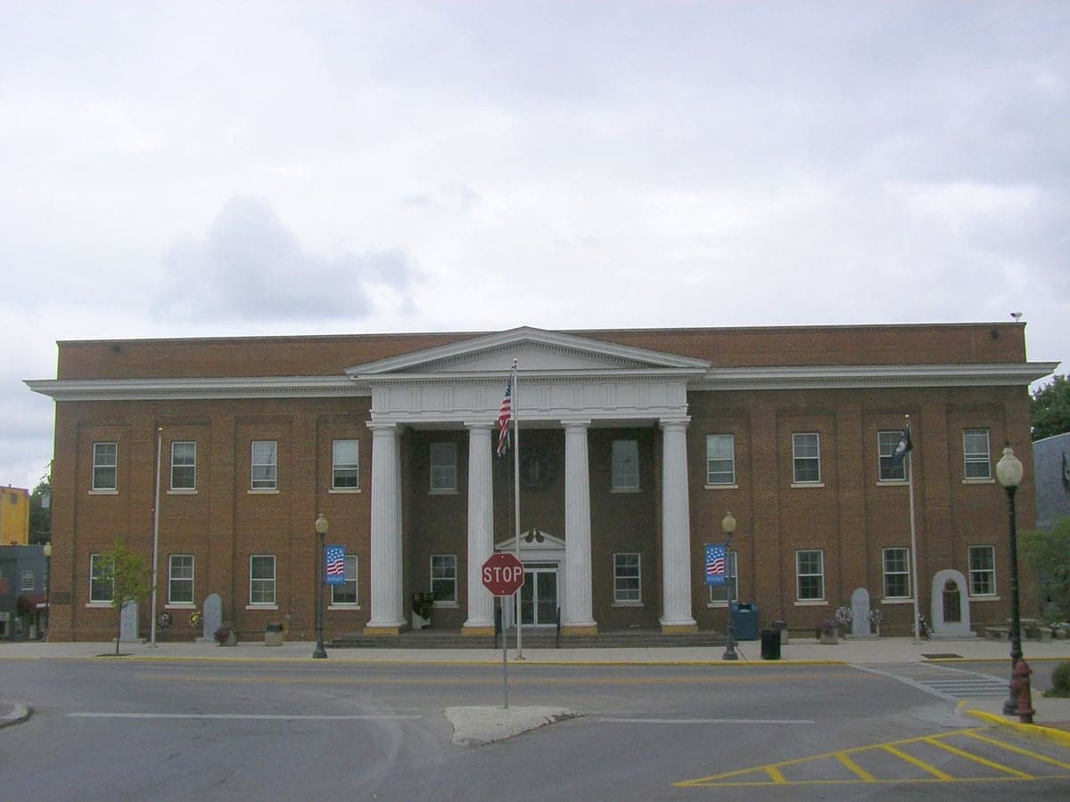
Photo: Wikipedia
Strategic Assessment of Pulaski County
Workable tactical position. Some exposure to population density or targets, but generally defensible in a crisis.
What does the Strategic Assessment tell us?
Our Strategic Assessment grades tactical survivability of an area. Major population centers, military targets, fallout zones, natural disasters, and border exposure all drive risk — lower exposure means a more defensible position in a crisis.
This is heavily inspired by Joel Skousen's Strategic Relocation book. Highly recommended you checkout the book ($)What does this tell us?
Our Strategic Assessment grades tactical survivability of an area. Major population centers, military targets, fallout zones, natural disasters, and border exposure all drive risk — lower exposure means a more defensible position in a crisis.
This is heavily inspired by Joel Skousen's Strategic Relocation book. Highly recommended you checkout the book ($)Strategic Pillars

Key Distances
Strategic Assessment Analysis
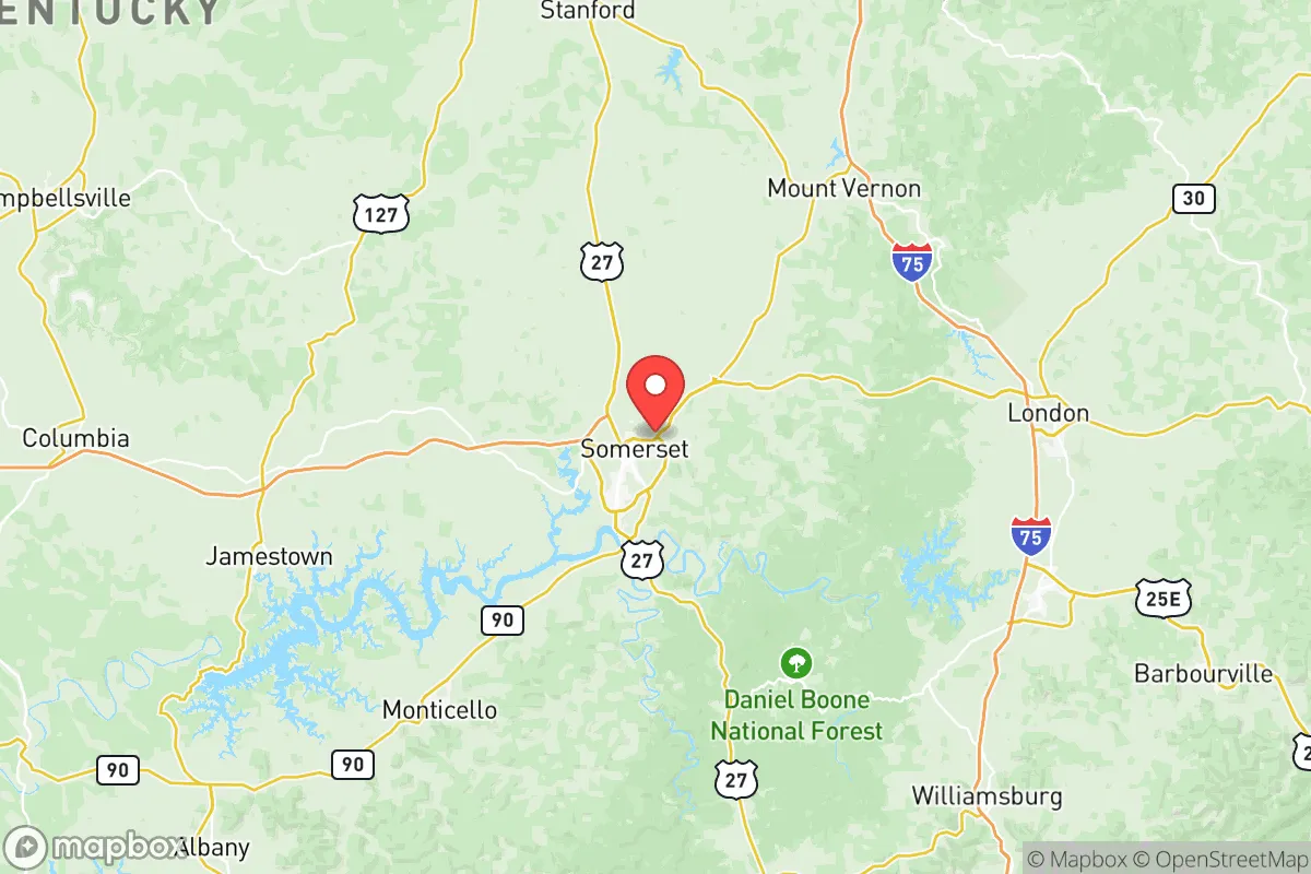
Pulaski County, Kentucky, anchored by the city of Somerset, offers a compelling strategic profile for relocation-minded readers prioritizing resilience and self-sufficiency. Its position in the Lake Cumberland region, roughly 80 miles south of Lexington and 90 miles north of Knoxville, Tennessee, places it outside the immediate blast and fallout zones of major metropolitan targets while still providing access to regional supply chains and healthcare. The county’s population of roughly 65,000, combined with a topography of rolling hills, hardwood forests, and the massive water resource of Lake Cumberland, creates a natural buffer against both man-made and natural disruptions that makes it worth serious consideration for those planning for long-term stability.
Geographic position and natural advantages for long-term stability
Pulaski County’s primary strategic asset is its location within the Appalachian foothills, a region characterized by elevation changes of 800 to 1,400 feet that provide natural drainage, defensible terrain, and reduced risk of flooding compared to river-bottom communities. The county sits atop the Cumberland Plateau, with the Cumberland River and its tributaries—including the Buck Creek and Pitman Creek watersheds—providing ample surface water. The centerpiece is Lake Cumberland, a 63,000-acre reservoir created by Wolf Creek Dam, which offers a near-limitless freshwater supply and a significant buffer against drought. The dam itself, located about 20 miles southeast of Somerset in Russell County, is a critical infrastructure point but is not a nuclear target in the same league as major hydroelectric dams on the Tennessee River. The surrounding Daniel Boone National Forest, which borders the county to the east, adds another layer of natural insulation—dense forest cover reduces fallout drift, provides timber for construction and fuel, and supports wildlife for hunting. The area’s karst topography, with numerous caves and sinkholes, also offers potential for natural shelter or cold storage, though it requires careful site selection to avoid groundwater contamination.
Risks, exposures, and proximity to fallout-relevant landmarks
While Pulaski County avoids the worst-case scenarios of coastal or metropolitan areas, it is not without exposure. The most significant man-made risk comes from the proximity to the Cumberland River and the Wolf Creek Dam, which, if compromised, could inundate low-lying areas along the river corridor, including parts of Somerset and Burnside. However, the dam is regularly inspected by the U.S. Army Corps of Engineers and is considered in fair condition, with no imminent failure risk. More relevant to a disaster-readiness audience is the county’s location relative to potential nuclear targets. The nearest major military installation is Fort Knox, approximately 80 miles northwest, which houses the U.S. Army Armor School and the U.S. Bullion Depository—a high-value target. The Oak Ridge National Laboratory in Tennessee, about 100 miles south, is another Tier-1 target for nuclear or radiological release. In a major exchange, prevailing winds from the west or southwest could carry fallout from Oak Ridge or even from the Nashville metropolitan area (roughly 120 miles west) into Pulaski County. The county’s elevation and forest cover would mitigate some of the immediate fallout deposition, but residents should plan for at least 72 hours of sheltering in place. Natural risks include tornadoes, which are common in south-central Kentucky—the county averages 12 tornado warnings per year, and the 2021 Western Kentucky tornado outbreak demonstrated that even hilly terrain offers no guarantee of safety. Ice storms and winter power outages are also recurring threats, with the region experiencing an average of one major ice event every three to four years.
Practical resilience for a relocator: food, water, energy, and defensibility
For a relocator focused on self-sufficiency, Pulaski County offers strong fundamentals. Water is the county’s single greatest strategic advantage. Lake Cumberland provides a reliable surface water source, and the Somerset Water Service treats and distributes water to over 30,000 customers. For off-grid setups, shallow wells in the limestone aquifer typically yield 10 to 30 gallons per minute at depths of 100 to 300 feet, though water quality varies due to the karst geology—filtration is essential. The county’s agricultural base is modest but sufficient: roughly 1,200 farms operate in Pulaski County, producing tobacco, hay, cattle, and poultry. The Somerset Farmers Market operates year-round, and local food networks are well-established, with several CSAs and farm stands within a 20-minute drive of the city center. For energy, the county is served by the South Kentucky Rural Electric Cooperative Corporation (SKRECC), which draws power from the Tennessee Valley Authority (TVA) grid. TVA’s mix includes coal, natural gas, nuclear (from the Sequoyah and Watts Bar plants in Tennessee), and hydroelectric. In a grid-down scenario, the region’s forested terrain makes wood heating the most practical off-grid option, with ample deadfall and standing timber available on private land. Solar potential is moderate—the area receives about 4.5 peak sun hours per day, slightly below the national average but workable with battery storage. Defensibility is a mixed picture: the county’s rural character and low population density (roughly 85 people per square mile) reduce competition for resources, but the terrain also creates choke points along the major highways—US-27 and KY-80—that could become bottlenecks during an evacuation. The county has a strong tradition of hunting and firearms ownership, with an estimated 45% of households owning at least one firearm, which is a practical consideration for security in a prolonged disruption. The local sheriff’s office and Somerset Police Department maintain a visible presence, but in a major event, response times in the more remote eastern and southern parts of the county could exceed 30 minutes.
Overall, Pulaski County presents a balanced strategic picture for the resilience-minded relocator. Its greatest strengths are its abundant freshwater, forested terrain, and distance from high-value targets like Fort Knox and Oak Ridge. The county’s weaknesses are manageable: a moderate tornado risk, dependence on TVA grid power, and the potential for fallout from distant strikes under certain wind patterns. For a family or individual willing to invest in a well, solar backup, and a wood stove, the area offers a realistic foundation for long-term self-sufficiency without the extreme isolation of more remote mountain counties. The presence of Somerset (population 12,000) provides a functional hub for supplies, healthcare at Lake Cumberland Regional Hospital, and community networking, while the surrounding countryside allows for genuine rural living. For the reader who wants to be prepared but not cut off, Pulaski County is a solid, defensible choice in the mid-South.

* Values derived from national, state, county, city and local statistics and may differ in a specific area. Last updated: 2026-07-18T12:23:37.000Z
Narrative content on this page is AI-generated and may contain mistakes. Verify any details that matter before acting on them.
ReloMaps may earn a commission from affiliate links at no extra cost to you.

