
Photo: Wikipedia
Strategic Assessment of Hopkins County
Workable tactical position. Some exposure to population density or targets, but generally defensible in a crisis.
What does the Strategic Assessment tell us?
Our Strategic Assessment grades tactical survivability of an area. Major population centers, military targets, fallout zones, natural disasters, and border exposure all drive risk — lower exposure means a more defensible position in a crisis.
This is heavily inspired by Joel Skousen's Strategic Relocation book. Highly recommended you checkout the book ($)What does this tell us?
Our Strategic Assessment grades tactical survivability of an area. Major population centers, military targets, fallout zones, natural disasters, and border exposure all drive risk — lower exposure means a more defensible position in a crisis.
This is heavily inspired by Joel Skousen's Strategic Relocation book. Highly recommended you checkout the book ($)Strategic Pillars

Key Distances
Strategic Assessment Analysis
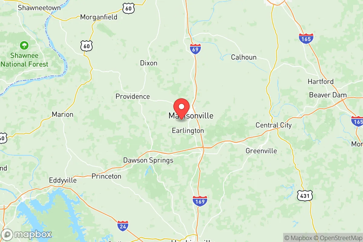
Hopkins County, Kentucky, offers a compelling mix of geographic isolation, regional economic stability, and resource access that appeals to relocation-minded individuals and families prioritizing resilience. Its location in the western part of the state, roughly a two-hour drive from both Nashville and Louisville, provides a buffer from major metropolitan vulnerabilities while retaining access to supply chains and emergency services. The county seat of Madisonville serves as the commercial and logistical hub, anchoring a community that has shown steady population retention and economic adaptation since the decline of the coal industry.
Geographic position and natural defensive advantages
Hopkins County sits in the Western Coalfields region, a landscape of rolling hills, hardwood forests, and numerous waterways that create natural defensibility and resource abundance. The county's position on the western edge of the Eastern Time Zone means it's relatively removed from the major fault lines of the New Madrid Seismic Zone to the southwest, though the Wabash Valley Seismic Zone to the north still warrants awareness. The terrain is not mountainous — which limits certain defensive choke points — but the patchwork of lakes, including Lake Beshear and the Pond River, provides multiple water sources and limits large-scale approach vectors. The county's population density of roughly 85 people per square mile offers significant spacing between households, reducing contagion risk and enabling low-profile living. Madisonville's hospital, Baptist Health Deaconess, is a 210-bed regional facility that serves as a trauma center, a practical asset for any resilience plan.
Exposure to natural, man-made, and fallout-related risks
Every location has trade-offs, and Hopkins County's resilience profile includes several notable exposure points. The primary natural risk is seismic activity from the New Madrid Seismic Zone; while the zone's most catastrophic potential events are catastrophic and rare, even moderate quakes could affect older masonry buildings and gas lines. Flooding is a seasonal concern along the Tradewater and Pond River corridors, though most of the county sits above the 100-year floodplain. On the man-made side, the county's position is relevant to a relocator concerned with fallout and industrial hazards. The coal-fired Paradise Power Plant (Tennessee Valley Authority) in Muhlenberg County, directly south of Hopkins County, is a significant industrial landmark — older units have been replaced by natural gas, but coal ash storage sites and chemical handling facilities remain. To the northeast, the Blue Grass Army Depot in Richmond, Kentucky, is a major conventional munitions storage facility that could be a target, while the Fort Campbell military installation sits roughly 90 miles southwest, introducing potential military movement corridors. The county also hosts the Green River Armory in Madisonville, a Kentucky Army National Guard facility, which could serve as either an assembly point or a liability. The Crowley's Coal River Terminal along the Green River in nearby Henderson County moves coal and agricultural products by barge, making it a secondary infrastructure node. For a relocator, the county avoids the worst "bullseye" risks of major refinery zones or nuclear plants — the nearest active nuclear power plant, the Sequoyah Nuclear Plant in Tennessee, is over 250 miles away.
Practical resilience: food, water, energy, and defensibility
Hopkins County offers above-average baseline resilience for a relocator seeking self-sufficiency. The region sits atop significant groundwater resources from the Mississippi River alluvial aquifer system, and private wells are common in rural parcels. Municipal water utilities in Madisonville, White Plains, and Dawson Springs are sourced from the Pond River and Lake Beshear, providing redundant surface water capacity. For energy, the county's location in the coal-bearing Western Kentucky coal field means coal resources are nearby, though practical home-scale access is limited without existing mine property. Natural gas pipelines from the supply basins in West Tennessee and southern Illinois pass through the county, and propane delivery is widely available in rural areas. Solar potential is moderate by national standards — roughly 4.5 peak sun hours per day — which makes supplemented solar feasible for a well-sized system. Wooded acreage is plentiful and affordable: farmland in Hopkins County averages $3,500 to $5,500 per acre as of 2025 (USDA data), and wooded parcels for timber and firewood are readily available. Local agriculture is solid but not dominating the landscape; the county produces corn, soybeans, and hay, with several year-round farmers' markets in Madisonville and a strong network of small farms in the surrounding area. For food security, the county's Extension Office for Hopkins County (part of the University of Kentucky Cooperative Extension Service) offers livestock, gardening, and preservation classes — a practical resource often overlooked in relocation planning. Defensibility is mixed: the rolling terrain lacks true defensive positions, but the creeks, wetland areas, and forest patches create natural barriers that slow movement. The county's strong network of local law enforcement (Madisonville Police, Hopkins County Sheriff's Office, Kentucky State Police Post 2) and volunteer fire departments in Earlington, Mortons Gap, and Nortonville provide a pre-existing community security structure.
The overall strategic picture for Hopkins County is one of prudent distance from major risks combined with strong local asset depth. It avoids the worst fallout exposures of the Ohio River chemical corridor to the north or Tennessee Valley Authority's larger nuclear assets to the south and east. For a family or individual weighing a relocation based on resilience, the county offers a workable balance of land affordability, water access, and community infrastructure — with the understanding that seismic and flooding risks require active mitigation in property selection and construction. The county's slow-but-steady population growth and maintained hospital system suggest it's neither a hollowed-out "resilience cheap spot" nor an overvalued relocation destination. It's a pragmatic middle ground where a prepared relocator can build redundancy into daily life without needing full wilderness self-sufficiency, while still being positioned to support regional recovery if larger urban areas face disruption. If you're the type who wants neighbors close enough to share a well-drilling cost but far enough that a generator hum won't be heard through the trees, Hopkins County earns a serious look.

* Values derived from national, state, county, city and local statistics and may differ in a specific area. Last updated: 2026-06-30T07:15:23.000Z
Narrative content on this page is AI-generated and may contain mistakes. Verify any details that matter before acting on them.
ReloMaps may earn a commission from affiliate links at no extra cost to you.

