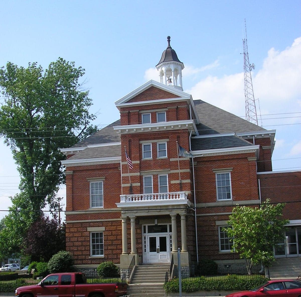
Photo: Wikipedia
Strategic Assessment of Boone County
Meaningful friction. Expect exposure to either population pressure, blast zones, or natural disaster risk. Consider buying a retreat property.
What does the Strategic Assessment tell us?
Our Strategic Assessment grades tactical survivability of an area. Major population centers, military targets, fallout zones, natural disasters, and border exposure all drive risk — lower exposure means a more defensible position in a crisis.
This is heavily inspired by Joel Skousen's Strategic Relocation book. Highly recommended you checkout the book ($)What does this tell us?
Our Strategic Assessment grades tactical survivability of an area. Major population centers, military targets, fallout zones, natural disasters, and border exposure all drive risk — lower exposure means a more defensible position in a crisis.
This is heavily inspired by Joel Skousen's Strategic Relocation book. Highly recommended you checkout the book ($)Strategic Pillars

Key Distances
Strategic Assessment Analysis
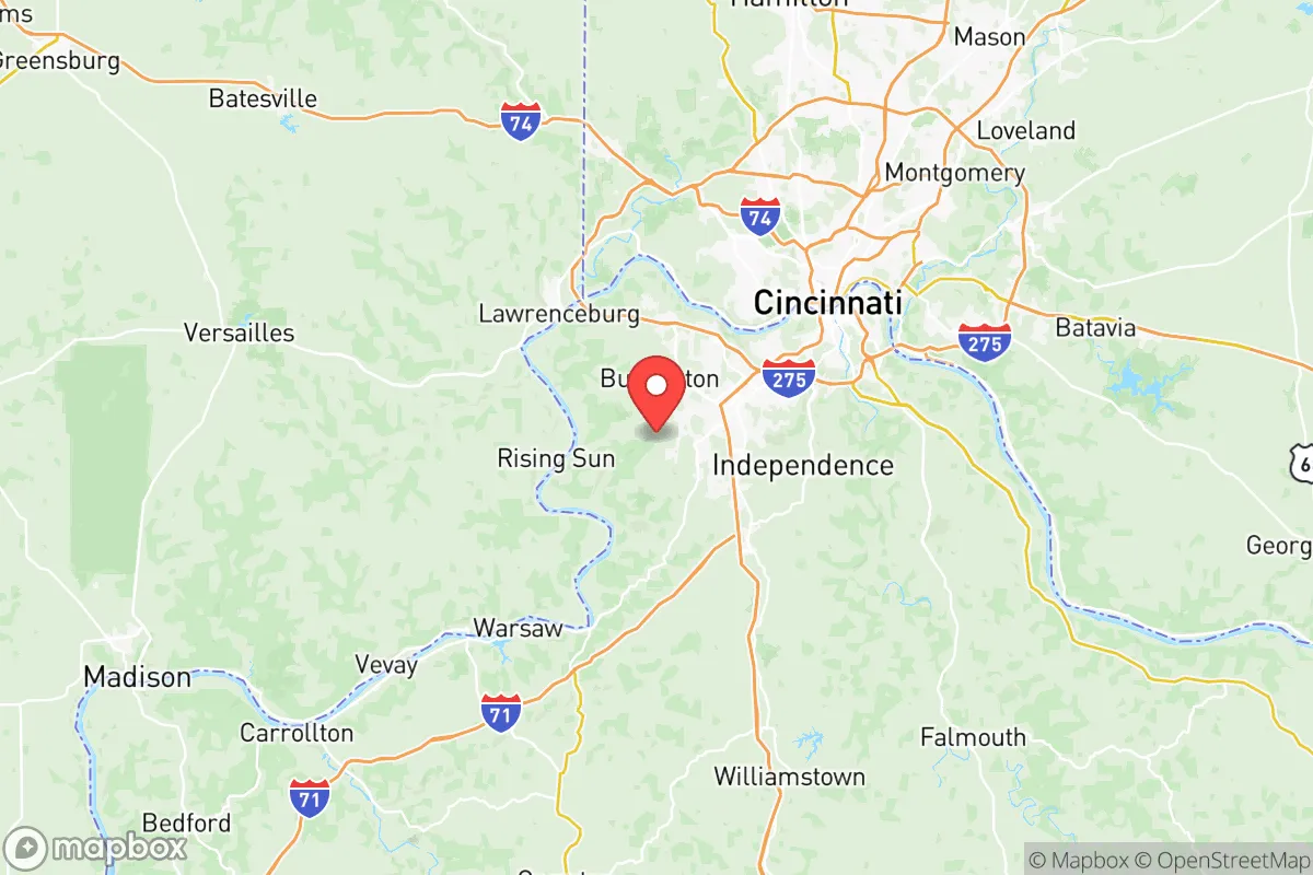
Boone County, Kentucky, occupies a strategic position in the Ohio River Valley that offers a blend of Midwestern stability and access to regional resources, making it a noteworthy consideration for relocation-minded individuals and families prioritizing long-term resilience. The county’s location, roughly 15 miles southwest of Cincinnati, places it within a major metropolitan orbit while maintaining a distinct suburban and rural character that supports self-sufficiency. Its geography, anchored by the Ohio River and the rolling hills of the Outer Bluegrass region, provides natural advantages for water access, defensible terrain, and agricultural potential that are increasingly valued by those assessing disaster readiness and community stability.
Geographic position and natural advantages for long-term stability
Boone County sits at a geographic crossroads that buffers it from many of the acute risks facing coastal or heavily industrialized regions. The Ohio River forms its northern border, offering a reliable freshwater source that is less susceptible to drought than many western or southern aquifers. The county’s terrain, characterized by moderate hills and limestone bedrock, provides natural drainage and reduces flood risk in most areas, though low-lying zones near the river—such as portions of Burlington and Hebron—require attention during heavy rain events. The underlying geology supports well water for those seeking off-grid water security, with typical depths of 100–300 feet yielding adequate yields for household use. The region’s temperate climate, with average annual rainfall of around 42 inches, supports local food production without the extreme weather patterns seen in Tornado Alley or the Gulf Coast. The county’s position within the Eastern Time Zone and its proximity to major interstate corridors—I-71/I-75 running north-south and I-275 encircling Cincinnati—offers logistical advantages for supply access and evacuation routes, while the Cincinnati/Northern Kentucky International Airport (CVG) in Hebron provides a major air cargo hub that could be leveraged for emergency resupply. The presence of the Ohio River itself is a double-edged asset: it enables barge transport of bulk goods but also concentrates industrial traffic that could become a target or choke point in a crisis.
Risks, exposures, and proximity to fallout-relevant landmarks
While Boone County avoids many of the worst-case scenarios of coastal hurricanes or seismic activity, it is not without significant man-made and natural risks that a relocator must weigh. The most pressing concern is the county’s proximity to Cincinnati, a major metropolitan area of roughly 2.3 million people that would be a primary target for any large-scale conflict or societal disruption. The city’s concentration of critical infrastructure—including the Wright-Patterson Air Force Base in Dayton, roughly 50 miles northeast, and the Fort Knox military installation about 100 miles southwest—introduces a moderate risk of secondary effects from military or industrial targeting. Within Boone County itself, the CVG airport is a major logistics hub that could become a focal point for military or emergency operations, potentially drawing unwanted attention. The county also hosts several chemical and manufacturing facilities along the Ohio River corridor, including the Miami Fort Power Plant just across the river in Ohio, which could pose industrial accident risks. Natural hazards are comparatively mild: the region experiences occasional severe thunderstorms and tornadoes (typically EF-0 to EF-2), with the highest risk during spring and early summer. The New Madrid Seismic Zone, roughly 250 miles southwest, presents a low-probability but high-consequence earthquake risk that could affect the Ohio River Valley, though Boone County’s bedrock geology offers better stability than alluvial areas downstream. Flooding is localized, with the most vulnerable areas being the Ohio River floodplain near Petersburg and Verona, where some homes sit within the 100-year flood zone. For a relocator, the primary risk calculus is not natural disaster but the county’s integration into a major metropolitan system that could become a liability in a prolonged crisis.
Practical resilience for a relocator: food, water, energy, and defensibility
Boone County offers a mixed picture for practical self-sufficiency, with strong fundamentals in some areas and notable gaps in others. Water security is a clear strength: the Ohio River provides an abundant surface water source, and the county’s groundwater is generally accessible and of good quality, with many rural properties already relying on private wells. The Boone County Water District serves most developed areas, but for those seeking independence, well drilling is feasible and costs typically range from $5,000–$12,000. Food production potential is solid, with the county’s agricultural land—much of it in the southern and western portions around Union and Walton—supporting row crops, livestock, and market gardens. The growing season averages 170–180 days, sufficient for corn, soybeans, and a wide variety of vegetables. Local food infrastructure includes several farmers’ markets and the Boone County Farmers Market in Burlington, but the county is not a major food-producing region relative to its population, meaning most food is imported via the Cincinnati supply chain. Energy resilience is a weaker point: the grid is served by Duke Energy Ohio/Kentucky, with power outages occurring primarily from storms (average 1–2 per year lasting 2–6 hours). For off-grid energy, solar potential is moderate—the region receives about 4.2 peak sun hours per day—and backup generators are common among rural residents. Natural gas is widely available in suburban areas, but propane and wood heating are more common in outlying zones. Defensibility is a nuanced factor: the county’s rolling hills and wooded areas provide some natural cover and chokepoints, particularly along the Ohio River bluffs and the rural corridors near Richwood. However, the county’s extensive suburban development—especially along the I-71/I-75 corridor—creates a fragmented landscape that would be difficult to secure. The presence of multiple highway interchanges and the airport means that any large-scale evacuation or security scenario would face significant logistical challenges. For a family or individual, the most defensible properties are those on larger parcels (5+ acres) in the southern and western parts of the county, away from major roads and population centers.
The overall strategic picture for Boone County is one of moderate resilience with clear trade-offs. Its geographic position offers genuine advantages—reliable water, arable land, and a climate that supports year-round habitation—while its proximity to Cincinnati and critical infrastructure introduces risks that cannot be ignored. For a relocator who values access to urban amenities and medical infrastructure while maintaining the capacity for self-sufficiency, Boone County represents a balanced option that is neither a hardened retreat nor a high-risk zone. The key is to choose a location within the county that maximizes its natural strengths: properties in the southern and western rural areas, away from the river floodplains and major transport corridors, offer the best combination of water access, agricultural potential, and defensible space. For those willing to invest in well water, solar backup, and food storage, Boone County can serve as a viable base for long-term resilience, provided the risks of metropolitan proximity are acknowledged and mitigated through careful site selection and community engagement.

* Values derived from national, state, county, city and local statistics and may differ in a specific area. Last updated: 2026-09-30T22:40:01.000Z
Narrative content on this page is AI-generated and may contain mistakes. Verify any details that matter before acting on them.
ReloMaps may earn a commission from affiliate links at no extra cost to you.

