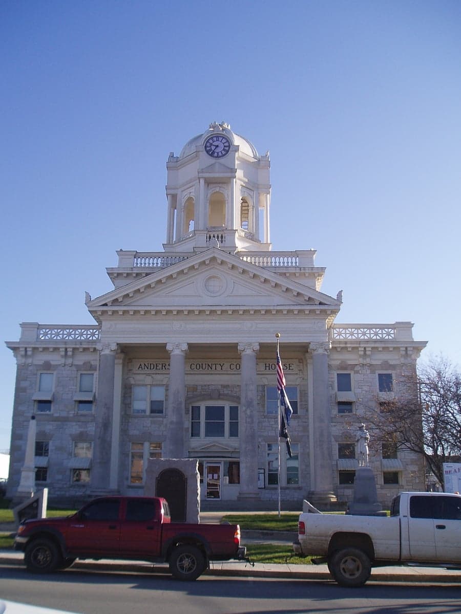
Photo: Wikipedia
Strategic Assessment of Anderson County
Workable tactical position. Some exposure to population density or targets, but generally defensible in a crisis.
What does the Strategic Assessment tell us?
Our Strategic Assessment grades tactical survivability of an area. Major population centers, military targets, fallout zones, natural disasters, and border exposure all drive risk — lower exposure means a more defensible position in a crisis.
This is heavily inspired by Joel Skousen's Strategic Relocation book. Highly recommended you checkout the book ($)What does this tell us?
Our Strategic Assessment grades tactical survivability of an area. Major population centers, military targets, fallout zones, natural disasters, and border exposure all drive risk — lower exposure means a more defensible position in a crisis.
This is heavily inspired by Joel Skousen's Strategic Relocation book. Highly recommended you checkout the book ($)Strategic Pillars

Key Distances
Strategic Assessment Analysis
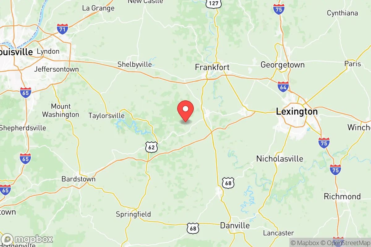
Anderson County, Kentucky, offers a strategic balance of rural self-sufficiency and practical access to regional infrastructure, making it a noteworthy option for relocation-minded individuals and families prioritizing resilience. Located in the Bluegrass region, the county seat of Lawrenceburg sits roughly 30 miles west of Lexington and 50 miles east of Louisville, placing it outside the immediate blast and fallout zones of major metropolitan targets while still within a reasonable drive for supply runs or medical care. The area’s topography, water resources, and lower population density contribute to a defensible and sustainable living environment that appeals to those thinking seriously about disaster readiness and long-term preparedness.
Geographic position and natural advantages for self-sufficiency
Anderson County’s location in the interior of Kentucky provides a natural buffer against coastal storm surges, hurricane-force winds, and seismic activity common to the New Madrid Seismic Zone’s more volatile western reaches. The county sits atop the Kentucky River Palisades, a region of steep, forested bluffs and deep river valleys that create natural chokepoints and defensible terrain. The Kentucky River itself runs along the county’s eastern border, offering a reliable surface water source for off-grid scenarios, while the underlying karst limestone geology yields numerous springs and groundwater aquifers. The rolling hills and fertile bottomlands support small-scale agriculture, with many properties already featuring garden plots, pasture, and woodlots. Lawrenceburg’s elevation—around 800 feet above sea level—keeps the area above most floodplain risks, though low-lying parcels near the river require site-specific evaluation. The county’s 2024 estimated population of roughly 24,000 residents spreads across 203 square miles, yielding a density of about 118 people per square mile—low enough to avoid the crowding and resource competition of suburban Lexington or Louisville, but high enough to maintain local services and a functioning tax base.
Risks, exposures, and proximity to fallout-relevant landmarks
While Anderson County avoids the highest-risk zones, it is not immune to man-made and natural threats. The county lies approximately 60 miles downriver from the Ghent Generating Station, a coal-fired power plant in Carroll County that, while not nuclear, represents an industrial target in a major grid disruption scenario. More significantly, the Blue Grass Army Depot in nearby Madison County—roughly 35 miles southeast—stores chemical munitions and conventional ordnance, making it a potential secondary target in a conflict or terrorist event. The depot’s incineration facility has been operational for years, but the site remains a high-consequence landmark for anyone assessing regional risk. On the natural hazard front, the county sits in a moderate tornado risk zone; the 1974 Super Outbreak produced an F4 tornado that tracked through northern Anderson County, and modern climatology suggests a continued threat during spring and early summer. The karst topography also presents a sinkhole risk, particularly in areas with heavy rainfall or rapid snowmelt. Proximity to Lexington’s Blue Grass Airport and Louisville’s Muhammad Ali International Airport—both within an hour’s drive—introduces air traffic noise and a low-probability but real crash or debris risk. For a relocator weighing fallout scenarios, the county’s distance from major military bases like Fort Knox (roughly 55 miles west) and Fort Campbell (about 140 miles southwest) is a net positive, as those installations are high-priority targets in any peer-level conflict.
Practical resilience for a relocator: food, water, energy, and defensibility
Anderson County’s practical resilience metrics are strong for a county of its size. The agricultural base includes over 600 farms covering more than 100,000 acres, with corn, soybeans, tobacco, and hay as primary crops, plus a growing number of small-scale livestock operations and hobby farms. The Lawrenceburg Farmers Market operates seasonally, and local producers supply meat, eggs, and produce within a 20-mile radius. For water security, the Anderson County Water District draws from the Kentucky River and several groundwater wells, but private well drilling is common and permitted, with typical depths of 100–300 feet yielding adequate flow for a household. The county’s electric grid is served by Blue Grass Energy, a rural electric cooperative that has invested in tree-trimming and pole hardening to reduce outage duration; however, the area is not immune to ice storms—the 2009 ice storm left parts of the county without power for up to two weeks. Wood heat is a practical backup, with abundant hardwood timber on private land and several firewood dealers operating year-round. Defensibility is aided by the terrain: the Kentucky River Palisades create natural barriers to the east, while the county’s interior is a patchwork of winding rural roads, creek crossings, and ridge lines that slow vehicular approach. Lawrenceburg itself is compact—roughly 5 square miles—making it feasible to secure key intersections and supply routes with a small, organized group. The county’s law enforcement presence includes the Anderson County Sheriff’s Office and the Lawrenceburg Police Department, with a combined sworn force of about 40 officers; in a prolonged crisis, residents would need to rely heavily on neighborhood mutual aid and personal preparedness.
Overall, Anderson County presents a credible option for the relocation-minded reader who values geographic buffer, water access, and agricultural potential without complete isolation from medical and supply networks. Its position between two major cities offers a logistical sweet spot—close enough to tap regional resources, far enough to avoid the worst of urban collapse scenarios. The presence of the Blue Grass Army Depot and the Ghent power station are real but manageable risks, best addressed through site-specific planning and situational awareness. For a family or individual serious about disaster readiness, this county rewards those who invest in well-drilling, wood heat, and local food production, while the community’s rural character and moderate growth rate suggest it will remain a viable long-term haven rather than a suburban spillover zone.

* Values derived from national, state, county, city and local statistics and may differ in a specific area. Last updated: 2026-06-28T00:06:06.000Z
Narrative content on this page is AI-generated and may contain mistakes. Verify any details that matter before acting on them.
ReloMaps may earn a commission from affiliate links at no extra cost to you.

