Photo: Wikipedia
Strategic Assessment of Kennebunk, ME
Meaningful friction. Expect exposure to either population pressure, blast zones, or natural disaster risk. Consider buying a retreat property.
What does the Strategic Assessment tell us?
Our Strategic Assessment grades tactical survivability of an area. Major population centers, military targets, fallout zones, natural disasters, and border exposure all drive risk — lower exposure means a more defensible position in a crisis.
This is heavily inspired by Joel Skousen's Strategic Relocation book. Highly recommended you checkout the book ($)What does this tell us?
Our Strategic Assessment grades tactical survivability of an area. Major population centers, military targets, fallout zones, natural disasters, and border exposure all drive risk — lower exposure means a more defensible position in a crisis.
This is heavily inspired by Joel Skousen's Strategic Relocation book. Highly recommended you checkout the book ($)Strategic Pillars

Key Distances
Regional Safe Places
Below is our recommended "safe zones" in Maine and the surrounding area based on our strategic heuristics. For most people, it's unrealistic to live in a “safe zone” full-time due to work, family or other personal reasons. They tend to be more rural. However, many of these areas are perfect for second homes and retreat properties that double as a vacation home or even a short-term rental.




Important Note: For informational purposes only. This does not mean nothing bad ever happens in the green zones. Please use common sense. This is based on public data and modeled with AI. We tried to take a conservative approach but mistakes happen. We update this regularly as new information becomes available.
Solar Generator Recommendations
Backup power matters more here than in safer locations. We've picked three solar generators across budgets and capacity tiers — start with the budget unit if you only need a few essentials, or step up if you want to run a fridge and HVAC for days at a time.

Jackery Portable Power Station Explorer 300
Budget OptionPower on the Go: Weighing only 11 lbs, it's convenient to set up and store with book-sized foldable solar panels

BLUETTI Portable Power Station AC180
Designed for both indoor and outdoor scenarios, AC180 is highly capable as it has a robost capacity and continuous output power.

EF ECOFLOW DELTA Pro Ultra Power Station
Upgraded PickEcoFlow DELTA Pro Ultra is a whole-home energy system designed to grow with your family. Integrated with the Smart Home Panel 2, it scales to meet your evolving energy needs — keeping your home powered, intelligent, and secure through every stage of life.
We earn a commission, at no additional cost to you.
Strategic Assessment Analysis
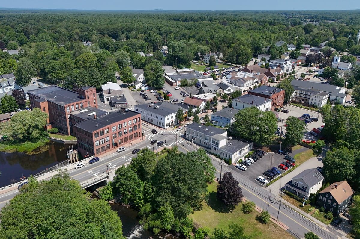
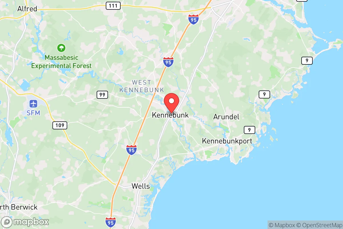
Kennebunk, Maine, occupies a strategic position that balances coastal access with a degree of geographic insulation, making it a location worth serious consideration for those prioritizing disaster readiness and self-sufficiency. Its location along the southern Maine coast, roughly 25 miles southwest of Portland and 80 miles north of Boston, places it within a corridor that offers both opportunity and exposure. The town's resilience profile is shaped by its position relative to major population centers, its natural resource base, and the practical realities of living in a region that experiences distinct seasonal challenges. For a relocator thinking about long-term preparedness, Kennebunk presents a mixed picture: strong local food and water potential, moderate energy independence prospects, and a defensible layout, but with notable exposure to coastal storm risks and proximity to high-value targets that could create secondary effects in a major crisis.
Geographic position and natural advantages for preparedness
Kennebunk sits at the confluence of the Kennebunk River and the Atlantic Ocean, a position that provides direct access to marine resources while also placing the town within a network of inland waterways and forested areas. The town's geography is defined by a mix of coastal marshlands, rolling hills, and river valleys, which creates natural barriers and chokepoints that could be leveraged for security and resource management. The Kennebunk River itself runs roughly 10 miles inland, offering a navigable waterway for transport and fishing, while the surrounding woodlands provide cover, fuel, and building materials. The area's soils are generally well-drained and suitable for small-scale agriculture, with a growing season that runs from late April to early October — shorter than the Mid-Atlantic but workable for cold-hardy crops. The proximity to the Gulf of Maine means moderate temperatures year-round, with winters averaging 15-30°F and summers 60-80°F, reducing the risk of extreme heat events that plague southern states. However, the region's reliance on the Gulf Stream for warmth also means it is vulnerable to Nor'easters and winter storms that can dump 60-80 inches of snow annually, creating mobility and power challenges. The town's position 80 miles from Boston places it outside the immediate blast and fallout zones of a major urban nuclear strike, but within the range of secondary effects like refugee flow, supply chain disruption, and electromagnetic pulse (EMP) impacts on the regional grid.
Risks, exposures, and proximity to fallout-relevant landmarks
The most significant risk for Kennebunk is its coastal exposure to storm surge and sea-level rise. The town's downtown and historic district sit at elevations of 10-20 feet above sea level, with some areas along the Kennebunk River and the coast at 5-10 feet. A Category 2 hurricane making landfall nearby could produce a storm surge of 6-10 feet, flooding low-lying areas and cutting off evacuation routes like Route 9 and the Maine Turnpike (I-95). The 2023 NOAA sea-level rise projections show a 1-2 foot rise by 2050 for the Maine coast, which would increase the frequency of nuisance flooding and storm damage. Beyond natural hazards, Kennebunk's proximity to the Portsmouth Naval Shipyard (30 miles south) and the Bath Iron Works (40 miles northeast) — both critical military-industrial facilities — makes the region a potential secondary target in a conflict scenario. The shipyard builds and maintains nuclear submarines, and the iron works produces Navy destroyers; both are high-value assets that could draw conventional or asymmetric attacks. The town is also within 100 miles of the Seabrook Nuclear Power Plant in New Hampshire, which, while not a likely direct target, poses a radiological release risk in the event of a major earthquake or sabotage. The Maine Turnpike, which runs through Kennebunk, is a primary evacuation route for the Portland-Boston corridor and could become a chokepoint during a crisis, with traffic jams and resource competition from urban refugees. On the positive side, Kennebunk's population of roughly 11,000 is small enough to avoid the density-driven chaos of a major city, and the town's layout — with multiple secondary roads, river access, and forested areas — offers multiple escape routes and defensible positions.
Practical resilience for a relocator: food, water, energy, and defensibility
Kennebunk's practical resilience is anchored by its access to fresh water and local food sources. The Kennebunk River and its tributaries provide a reliable surface water supply, and the town's groundwater aquifers are generally productive, with wells typically yielding 5-20 gallons per minute. The area receives an average of 45-50 inches of rainfall annually, making rainwater catchment a viable supplement. For food, the town is surrounded by working farms, including the Kennebunkport Conservation Trust's agricultural lands and several organic vegetable farms within a 10-mile radius. The Gulf of Maine offers year-round fishing for cod, haddock, lobster, and shellfish, though access to the coast requires a boat or a license for shore fishing. The local growing season supports potatoes, root vegetables, greens, and berries, and the region's forests provide wild game like deer, turkey, and small game, as well as maple syrup production. Energy resilience is more challenging. Kennebunk is served by Central Maine Power, which relies on overhead lines that are vulnerable to ice storms and wind damage. The town has no municipal power plant, and backup generation is primarily diesel or propane, which requires stored fuel. Solar potential is moderate — the region gets about 4.5 peak sun hours per day in summer, dropping to 1.5 in winter — so a solar-plus-battery system would need oversizing for winter months. Wood heating is common and practical, with firewood available locally for $200-300 per cord. Defensibility is a mixed picture. The town's coastal location means it is approachable by sea, but the river and marshlands create natural barriers to overland movement. The road network includes several dead-end roads and rural lanes that could be blocked or monitored, and the surrounding forests provide cover for retreat. The local police department has 20-25 officers, and the York County Sheriff's Office provides backup, but in a prolonged crisis, law enforcement would be stretched thin. The town's population is predominantly white (96%) and older (median age 47), which may reduce social cohesion in a crisis but also means fewer transient or disruptive elements. The nearest hospital is Southern Maine Health Care in Biddeford (10 miles north), which has a Level III trauma center and 150 beds — adequate for routine emergencies but likely overwhelmed in a mass casualty event.
The overall strategic picture for Kennebunk is one of moderate resilience with clear trade-offs. Its coastal location provides abundant natural resources and a temperate climate, but also exposes it to storm surge, sea-level rise, and proximity to military and nuclear infrastructure. The town's small size, multiple escape routes, and access to fresh water and local food give it a baseline of self-sufficiency that many suburban or urban locations lack. However, its reliance on a fragile power grid, vulnerability to Nor'easters, and position along a major evacuation corridor mean that a relocator would need to invest in backup power, food storage, and a well-thought-out security plan. For someone willing to accept the coastal risks and prepare accordingly, Kennebunk offers a defensible, resource-rich base within striking distance of the ocean's bounty — but it is not a remote bunker. It is a real town with real vulnerabilities, and the key to thriving there is understanding those vulnerabilities and planning for them, not ignoring them.

* Values derived from national, state, county, city and local statistics and may differ in a specific area. Last updated: 2026-10-11T02:46:04.000Z
Narrative content on this page is AI-generated and may contain mistakes. Verify any details that matter before acting on them.
ReloMaps may earn a commission from affiliate links at no extra cost to you.

