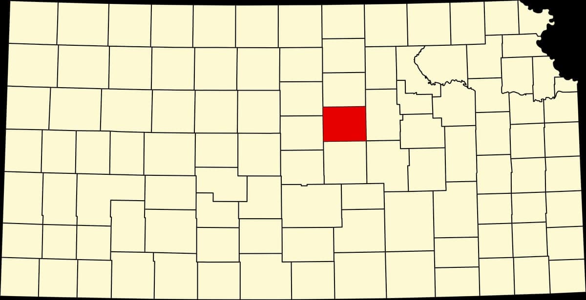
Photo: Wikipedia
Strategic Assessment of Saline County
Workable tactical position. Some exposure to population density or targets, but generally defensible in a crisis.
What does the Strategic Assessment tell us?
Our Strategic Assessment grades tactical survivability of an area. Major population centers, military targets, fallout zones, natural disasters, and border exposure all drive risk — lower exposure means a more defensible position in a crisis.
This is heavily inspired by Joel Skousen's Strategic Relocation book. Highly recommended you checkout the book ($)What does this tell us?
Our Strategic Assessment grades tactical survivability of an area. Major population centers, military targets, fallout zones, natural disasters, and border exposure all drive risk — lower exposure means a more defensible position in a crisis.
This is heavily inspired by Joel Skousen's Strategic Relocation book. Highly recommended you checkout the book ($)Strategic Pillars

Key Distances
Strategic Assessment Analysis
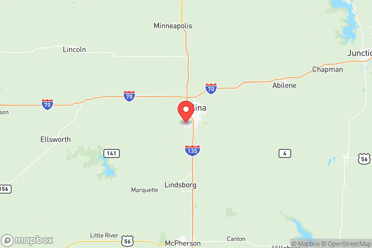
Saline County, Kansas, anchored by the city of Salina, offers a compelling strategic position for those prioritizing resilience and self-sufficiency, sitting at the geographic heart of the continental United States. Its location at the intersection of I-70 and I-135 provides solid logistical access without the congestion and target density of coastal or major metropolitan hubs. For a relocator focused on disaster readiness, the county presents a balanced profile: low exposure to natural catastrophes, moderate distance from high-value strategic targets, and a strong agricultural base that supports long-term sustainability.
Geographic position and natural advantages for long-term stability
Saline County’s central Kansas location is its primary strategic asset. The area sits over 150 miles from any major metropolitan area (Wichita is roughly 90 miles south, Kansas City about 180 miles east), placing it well outside the immediate fallout zones and secondary effects of a strike on those cities. The terrain is gently rolling plains, offering good drainage and visibility without the concealment of forested or mountainous regions. The county lies within the Smoky Hills region, which provides slightly more topographic variation than the flatter western Kansas plains, though defensible high ground is limited. The Saline River runs through the county, providing a reliable surface water source, and the underlying Ogallala Aquifer extends into the western portion of the county, offering groundwater access. The climate is semi-arid continental, with hot summers and cold winters, but the region avoids the hurricane, earthquake, and wildfire risks common to other parts of the country. Tornadoes are a genuine seasonal threat, but the county’s warning infrastructure and community preparedness are well-established. The growing season averages around 170 days, sufficient for many staple crops, and the surrounding agricultural land is among the most productive in the nation.
Risk exposure and proximity to fallout-relevant landmarks
While Saline County avoids the highest-risk zones, it is not without exposure. The most significant man-made risk is the Schilling Air Force Base, located just south of Salina. Though the base is currently used for civilian aviation and Kansas Army National Guard operations, its history as a former Strategic Air Command (SAC) base and its current military presence make it a potential secondary target in a major conflict. The county also sits roughly 100 miles from the Kansas City metropolitan area, a major transportation and logistics hub that could be a primary target. Fallout patterns from a strike on Kansas City would depend heavily on wind direction, but prevailing westerlies mean Saline County is more likely to be upwind than downwind in most scenarios. The Wichita area, home to McConnell Air Force Base and major aircraft manufacturing (Spirit AeroSystems, Textron Aviation), is another potential target roughly 90 miles south. The county’s proximity to Interstate 70 and the Union Pacific rail line running through Salina creates a double-edged sword: excellent logistics for resupply, but also a potential chokepoint or evacuation corridor that could become congested during a crisis. The Salina Regional Health Center is a capable 200+ bed hospital, but its capacity would be quickly overwhelmed in a mass casualty event. There are no major refineries, nuclear power plants, or chemical storage facilities within the county, which is a net positive for risk assessment.
Practical resilience for a relocator: food, water, energy, and defensibility
Saline County’s practical resilience is strong, particularly for those willing to invest in self-sufficiency. The county is part of the Kansas Wheat Belt, with extensive grain elevators and agricultural infrastructure in towns like Brookville, Gypsum, and New Cambria. Local food production is viable, with farmers’ markets in Salina and a growing network of small-scale producers. Water access is a key strength: the Saline River provides a perennial surface source, and many rural properties have access to groundwater via private wells. The county’s water utility, the City of Salina, draws from both the river and a wellfield, providing redundancy. Energy infrastructure is mixed. The county is served by Evergy (formerly Westar Energy), with a mix of coal, natural gas, and wind power. The Smoky Hills Wind Farm in nearby Lincoln County adds renewable capacity, but grid dependence remains a vulnerability. Solar and wind potential on individual properties is excellent, with the region averaging over 260 sunny days per year. Defensibility is moderate. The open terrain offers little natural cover, but the low population density (roughly 55,000 total, with about 46,000 in Salina proper) means that rural properties can achieve significant separation from neighbors. The county’s Sheriff’s Office and local law enforcement are professional, but response times in rural areas can exceed 20 minutes. For a relocator, the key trade-off is between the logistical advantages of being near a regional hub (Salina) and the security of deeper rural positions in the county’s western and southern townships. The Salina Airport (formerly Schilling AFB) offers a general aviation option for evacuation or resupply, a capability not available in most rural counties.
The overall strategic picture for Saline County is one of moderate-to-strong resilience with clear, manageable trade-offs. It avoids the highest-risk coastal and metropolitan zones while maintaining excellent logistical connectivity. The agricultural base, water availability, and low natural disaster risk make it a solid choice for a relocator focused on long-term self-sufficiency. The primary concerns are the residual military target risk from Schilling Air Force Base and the potential for fallout from strikes on Kansas City or Wichita under unfavorable wind conditions. For a conservative-leaning individual or family willing to invest in rural property, well drilling, and renewable energy, Saline County offers a defensible, sustainable base of operations that balances isolation with access. It is not a bunker location, but it is a practical, livable option for those who want to be prepared without living off the grid entirely. The county’s central location also means that, in a prolonged crisis, it could become a natural gathering point for displaced populations from the coasts, so advance planning for community security and resource management would be prudent.

* Values derived from national, state, county, city and local statistics and may differ in a specific area. Last updated: 2026-07-12T12:41:03.000Z
Narrative content on this page is AI-generated and may contain mistakes. Verify any details that matter before acting on them.
ReloMaps may earn a commission from affiliate links at no extra cost to you.

