
Strategic Assessment of Mcpherson County
Strong survivability profile. Good buffer from population centers, with manageable environmental and tactical risks.
What does the Strategic Assessment tell us?
Our Strategic Assessment grades tactical survivability of an area. Major population centers, military targets, fallout zones, natural disasters, and border exposure all drive risk — lower exposure means a more defensible position in a crisis.
This is heavily inspired by Joel Skousen's Strategic Relocation book. Highly recommended you checkout the book ($)What does this tell us?
Our Strategic Assessment grades tactical survivability of an area. Major population centers, military targets, fallout zones, natural disasters, and border exposure all drive risk — lower exposure means a more defensible position in a crisis.
This is heavily inspired by Joel Skousen's Strategic Relocation book. Highly recommended you checkout the book ($)Strategic Pillars

Key Distances
Strategic Assessment Analysis
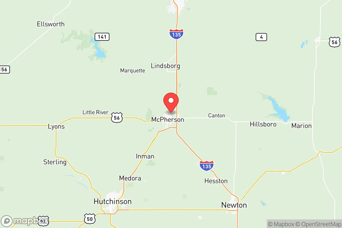
McPherson County, Kansas, offers a compelling strategic profile for relocators prioritizing disaster readiness and self-sufficiency, anchored by its position in the central Great Plains and its distance from major metropolitan fallout zones. The county seat, McPherson, sits roughly 60 miles north of Wichita and 140 miles southwest of Kansas City, placing it outside the immediate blast and fallout radius of those urban centers while remaining accessible for supply runs or medical care. The area’s agricultural backbone, low population density of about 29,000 residents across 900 square miles, and flat-to-rolling terrain create a defensible, resource-rich environment that appeals to those seeking a quieter, more resilient lifestyle.
Geographic position and natural advantages for long-term stability
McPherson County’s location in north-central Kansas provides several inherent strategic benefits. The region sits atop the Equus Beds aquifer, one of the largest freshwater sources in the state, which supplies reliable groundwater for both municipal use and irrigation—a critical asset during drought or infrastructure disruption. The county is also part of the McPherson Valley, a fertile area that supports extensive wheat, corn, and soybean farming, meaning local food production is robust and diversified. The terrain is predominantly open prairie with gentle hills, offering good visibility and limited natural cover for potential threats, but also providing ample space for private gardens, livestock, and rainwater catchment systems. The nearest major military installation is McConnell Air Force Base in Wichita, about 60 miles south, which could be a target in a conflict scenario, but the distance and intervening rural landscape reduce direct risk. The county’s central location also places it within a day’s drive of multiple regional hubs—Denver, Oklahoma City, Omaha—without being close enough to suffer from their collapse or targeting.
Risks, exposures, and proximity to fallout-relevant landmarks
While McPherson County avoids the highest-risk zones, it is not without exposures. The county lies within Tornado Alley, and severe weather—including EF3+ tornadoes, hailstorms, and flash flooding—is a recurring natural hazard. The city of McPherson itself experienced a damaging tornado in 1990, and residents should plan for storm shelters and robust building codes. Man-made risks are more limited but worth noting: the county hosts a major oil refinery, the McPherson Refinery (owned by CHS Inc.), which processes about 85,000 barrels per day and could be a secondary target or cause of localized contamination in a crisis. Additionally, the nearby Kansas Army Ammunition Plant in Parsons (about 130 miles southeast) and the Fort Riley military base (about 90 miles northeast) are potential targets, though their distance and prevailing wind patterns (typically west-to-east) reduce fallout risk for McPherson County. The county’s lack of major interstate highways—it is served by I-135 and US-56, not I-70 or I-35—means it is less likely to be a chokepoint for refugee flows or military movements, which is a net positive for stability. The nearest nuclear power plant is the Wolf Creek Generating Station near Burlington, Kansas, about 120 miles east, well outside the 50-mile emergency planning zone.
Practical resilience for a relocator: food, water, energy, and defensibility
For a relocator focused on self-sufficiency, McPherson County offers strong fundamentals. The agricultural economy means local food production is abundant: the county is a top producer of wheat and sorghum in Kansas, and there are numerous small farms selling beef, pork, poultry, and eggs directly to consumers. The McPherson County Farmers Market operates seasonally, and the surrounding area has a network of grain elevators and feed stores that support home gardening and livestock. Water access is excellent: the Equus Beds aquifer provides clean, shallow groundwater, and many rural properties have private wells. The county’s municipal water systems are well-maintained, but for off-grid resilience, drilling a well is feasible and affordable compared to many regions. Energy infrastructure is solid: the county is served by Evergy (formerly Westar Energy) and has a mix of natural gas, wind, and coal generation. The McPherson Wind Farm (about 50 turbines) contributes to local renewable capacity, and solar panel installation is growing among rural homeowners. For defensibility, the county’s low population density and wide-open spaces make it difficult for large groups to approach unnoticed, and the local sheriff’s office and volunteer fire departments are well-regarded. The city of McPherson has a strong sense of community and a low crime rate—violent crime is about 60% below the national average—which supports social cohesion during crises. However, the lack of natural barriers (forests, mountains) means that a determined threat could move across the landscape easily, so personal security measures like fencing, dogs, and situational awareness are more important than natural chokepoints.
Overall, McPherson County presents a balanced strategic picture for the disaster-conscious relocator. Its greatest strengths are its agricultural self-sufficiency, abundant groundwater, and distance from high-value targets like major cities, military bases, and critical infrastructure. The primary weaknesses are the tornado risk and the presence of the McPherson Refinery, which could become a localized hazard. For a single individual or family willing to invest in storm preparedness, a well, and a modest food storage system, the county offers a stable, low-stress environment that supports long-term resilience without the isolation of more remote locations. The community is politically and culturally conservative, with a strong work ethic and a tradition of neighborly assistance, which aligns well with the values of the target audience. While no location is perfectly safe, McPherson County ranks favorably among Great Plains options for those seeking a balance of security, resources, and accessibility.

* Values derived from national, state, county, city and local statistics and may differ in a specific area. Last updated: 2026-06-16T13:25:13.000Z
Narrative content on this page is AI-generated and may contain mistakes. Verify any details that matter before acting on them.
ReloMaps may earn a commission from affiliate links at no extra cost to you.

