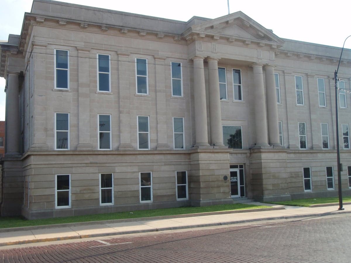
Photo: Wikipedia
Strategic Assessment of Ford County
Strong survivability profile. Good buffer from population centers, with manageable environmental and tactical risks.
What does the Strategic Assessment tell us?
Our Strategic Assessment grades tactical survivability of an area. Major population centers, military targets, fallout zones, natural disasters, and border exposure all drive risk — lower exposure means a more defensible position in a crisis.
This is heavily inspired by Joel Skousen's Strategic Relocation book. Highly recommended you checkout the book ($)What does this tell us?
Our Strategic Assessment grades tactical survivability of an area. Major population centers, military targets, fallout zones, natural disasters, and border exposure all drive risk — lower exposure means a more defensible position in a crisis.
This is heavily inspired by Joel Skousen's Strategic Relocation book. Highly recommended you checkout the book ($)Strategic Pillars

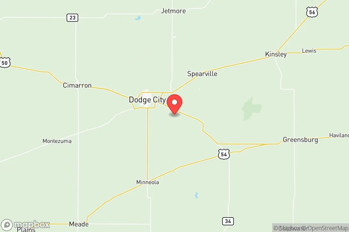
Key Distances
Strategic Assessment Analysis
Ford County, Kansas, anchored by the city of Dodge City, presents a compelling case for relocation-minded individuals and families who prioritize resilience, self-sufficiency, and a deliberate distance from the vulnerabilities of major metropolitan corridors. Its position in the southwestern corner of the state offers a unique blend of agricultural stability, low population density, and geographic insulation from the most acute risks associated with coastal and urban centers. For a reader thinking seriously about disaster readiness and long-term security, Ford County is worth a hard look — not as a utopia, but as a strategically sound, defensible base of operations.
Geographic position and natural advantages for long-term security
Ford County sits on the High Plains, roughly 150 miles west of Wichita and over 300 miles from the Kansas City metro area. That distance from major population hubs is a deliberate advantage for those concerned about cascading failures, civil unrest, or supply chain disruptions that tend to radiate outward from dense urban cores. The county's landscape is flat to gently rolling, with deep, fertile soils that support a robust agricultural economy — primarily wheat, corn, sorghum, and cattle. The Arkansas River runs through the county, providing a reliable surface water source, and the Ogallala Aquifer lies beneath, offering groundwater access that is critical for both irrigation and household use in a grid-down scenario. The climate is semi-arid, with hot summers and cold winters, but the region is not prone to hurricanes, earthquakes, or wildfires at the scale seen in the West or Gulf Coast. Tornadoes are a real seasonal risk — Ford County sits in Tornado Alley — but the wide-open terrain and low tree cover mean that sightlines are long, and warning times are generally adequate for those with a plan. The area's natural advantages boil down to water availability, arable land, and geographic isolation from the most vulnerable urban and coastal zones.
Risks, exposures, and proximity to fallout-relevant landmarks
No location is without risk, and Ford County has its share. The most significant natural hazard is severe weather: tornadoes, hailstorms, and occasional flash flooding along the Arkansas River and its tributaries. The county has experienced damaging tornadoes in the past, including an EF3 that struck near Dodge City in 2016. Residents should have a storm shelter or reinforced safe room — this is not optional for anyone serious about preparedness. On the man-made risk side, Ford County is not near any major nuclear power plants, large-scale chemical refineries, or strategic military installations that would be primary targets in a conflict. The closest notable military presence is McConnell Air Force Base in Wichita, roughly 150 miles east — well outside any plausible blast or fallout zone for a single strike. There are no major ports or refinery corridors within the county. The primary industrial infrastructure includes grain elevators, ethanol plants, and cattle feedlots, which are not high-value targets. Ford County's distance from the nation's most critical infrastructure hubs is actually a net positive for a relocator concerned with fallout, secondary effects, or targeted disruptions. The main exposure is economic: the region is heavily dependent on agriculture and energy (oil and gas extraction), so a prolonged national crisis affecting those sectors would hit the local economy hard. But for a family looking to ride out a disruption with local food production and community ties, that same agricultural base is a buffer.
Practical resilience for a relocator: food, water, energy, and defensibility
For someone serious about self-sufficiency, Ford County offers strong fundamentals. Food security is the standout advantage: the county is part of one of the most productive agricultural regions in the world. Local farmers' markets, direct-from-ranch beef, and bulk grain purchasing are accessible and affordable. Gardening is viable with proper soil management and irrigation, and the growing season — roughly 150 frost-free days — is sufficient for most staple crops. Water access is above average for the Plains. The Arkansas River provides surface water, though it is heavily appropriated and subject to interstate compacts. The Ogallala Aquifer is the region's primary groundwater source, but it is a finite resource and is being depleted at a rate that has raised long-term sustainability concerns. For a relocator drilling a private well, depth and yield vary — prospective buyers should commission a well test and review historical drawdown data for their specific parcel. Energy infrastructure is mixed. The county is served by grid electricity, but rural areas experience occasional outages from storms. Natural gas is available in Dodge City and some surrounding towns, but propane is common in outlying areas. Solar potential is excellent — the region averages over 260 sunny days per year — and a modest off-grid solar array with battery storage is a realistic investment. Wind is also abundant, though small-scale wind turbines require more maintenance and space. Defensibility is a function of the county's layout. The population density is low — roughly 10 people per square mile outside of Dodge City — and the terrain offers long sightlines. Rural properties with perimeter fencing, good road access, and a well-placed residence are inherently more defensible than suburban subdivisions. The local culture is self-reliant and neighborly, with a strong tradition of mutual aid among farming and ranching families. That social fabric is a resilience asset that cannot be bought.
The overall strategic picture for Ford County is one of moderate, grounded resilience. It is not a remote mountain redoubt, nor is it a fortified compound — it is a working agricultural community with real, practical advantages for a family willing to integrate into that lifestyle. The risks are manageable with preparation: a storm shelter, a well, solar panels, and a pantry. The rewards are a lower cost of living, genuine food security, and a community that understands hard work and self-reliance. For the relocator who values distance from urban fragility and proximity to productive land, Ford County, Kansas, deserves a place on the short list.

* Values derived from national, state, county, city and local statistics and may differ in a specific area. Last updated: 2026-07-15T06:29:06.000Z
Narrative content on this page is AI-generated and may contain mistakes. Verify any details that matter before acting on them.
ReloMaps may earn a commission from affiliate links at no extra cost to you.

