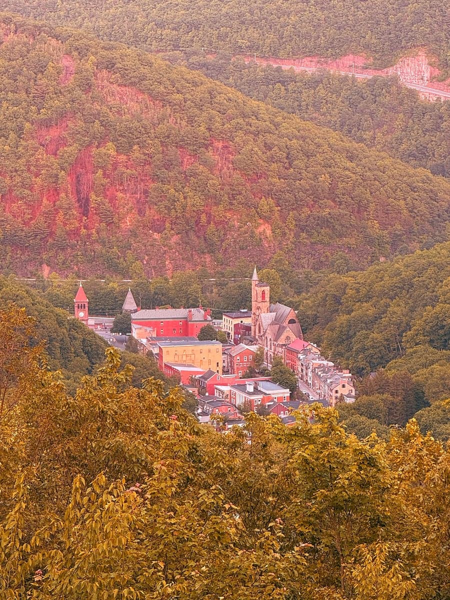
Photo: Wikipedia
Strategic Assessment of Jim Thorpe, PA
Meaningful friction. Expect exposure to either population pressure, blast zones, or natural disaster risk. Consider buying a retreat property.
What does the Strategic Assessment tell us?
Our Strategic Assessment grades tactical survivability of an area. Major population centers, military targets, fallout zones, natural disasters, and border exposure all drive risk — lower exposure means a more defensible position in a crisis.
This is heavily inspired by Joel Skousen's Strategic Relocation book. Highly recommended you checkout the book ($)What does this tell us?
Our Strategic Assessment grades tactical survivability of an area. Major population centers, military targets, fallout zones, natural disasters, and border exposure all drive risk — lower exposure means a more defensible position in a crisis.
This is heavily inspired by Joel Skousen's Strategic Relocation book. Highly recommended you checkout the book ($)Strategic Pillars

Key Distances
Regional Safe Places
Below is our recommended "safe zones" in Pennsylvania and the surrounding area based on our strategic heuristics. For most people, it's unrealistic to live in a “safe zone” full-time due to work, family or other personal reasons. They tend to be more rural. However, many of these areas are perfect for second homes and retreat properties that double as a vacation home or even a short-term rental.




Important Note: For informational purposes only. This does not mean nothing bad ever happens in the green zones. Please use common sense. This is based on public data and modeled with AI. We tried to take a conservative approach but mistakes happen. We update this regularly as new information becomes available.
Solar Generator Recommendations
Backup power matters more here than in safer locations. We've picked three solar generators across budgets and capacity tiers — start with the budget unit if you only need a few essentials, or step up if you want to run a fridge and HVAC for days at a time.

Jackery Portable Power Station Explorer 300
Budget OptionPower on the Go: Weighing only 11 lbs, it's convenient to set up and store with book-sized foldable solar panels

BLUETTI Portable Power Station AC180
Designed for both indoor and outdoor scenarios, AC180 is highly capable as it has a robost capacity and continuous output power.

EF ECOFLOW DELTA Pro Ultra Power Station
Upgraded PickEcoFlow DELTA Pro Ultra is a whole-home energy system designed to grow with your family. Integrated with the Smart Home Panel 2, it scales to meet your evolving energy needs — keeping your home powered, intelligent, and secure through every stage of life.
We earn a commission, at no additional cost to you.
Strategic Assessment Analysis
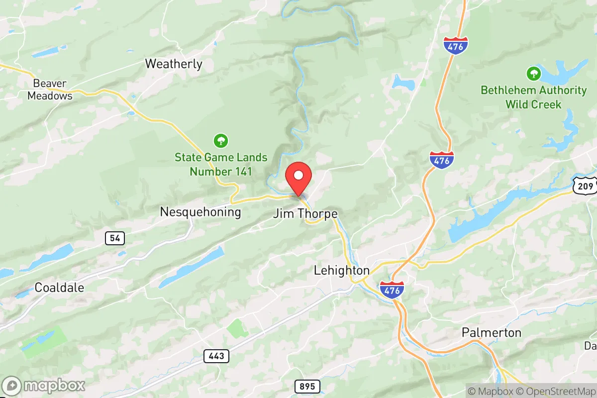
Jim Thorpe, Pennsylvania, offers a compelling mix of strategic advantages and notable vulnerabilities for the relocation-minded reader focused on resilience and self-sufficiency. Nestled in the Pocono Mountains of Carbon County, this historic borough sits roughly 30 miles northwest of Allentown and 75 miles west of New York City, placing it within a day’s drive of major population centers while retaining a distinctly rural, small-town character. Its position in the Lehigh River Gorge, flanked by steep hills and state forest land, provides natural barriers that can aid in both defense and isolation, but the same geography concentrates risk in the narrow valley floor. For a family or individual weighing long-term preparedness, Jim Thorpe presents a trade-off: genuine natural protection and local resources, offset by proximity to high-value targets and infrastructure choke points that could complicate a worst-case scenario.
Geographic position and natural advantages for long-term security
Jim Thorpe’s location within the Appalachian Ridge-and-Valley province gives it a distinct defensive profile. The borough is wedged between Bear Mountain and Flagstaff Mountain, with the Lehigh River cutting through the center. This topography creates a natural funnel—any approach from the east or west must negotiate steep grades and narrow passes, which could be easily monitored or blocked. The surrounding area is dominated by the 13,000-acre Lehigh Gorge State Park and the 72,000-acre Hickory Run State Park, offering vast tracts of forested land for hunting, foraging, and off-grid movement. The region’s elevation, averaging around 1,000 feet, provides a modest but real advantage in terms of cooler temperatures and reduced flood risk compared to lower-lying areas downstream. Water is abundant: the Lehigh River is a perennial, high-volume stream, and numerous smaller creeks and springs dot the hillsides. For a relocator, the ability to draw potable water without deep drilling is a significant plus. The soil in the valley is thin and rocky, limiting large-scale agriculture, but the surrounding forests support deer, turkey, and small game, and the growing season (roughly 140 days) is sufficient for hardy crops like potatoes, squash, and root vegetables. The area’s relative remoteness—Carbon County’s population density is just 130 people per square mile—means less competition for resources in a crisis, though the borough itself has about 4,800 residents, creating a tight-knit community where social capital matters.
Risks, exposures, and proximity to fallout-relevant landmarks
The most significant strategic liability for Jim Thorpe is its proximity to what resilience analysts call “high-consequence targets.” The borough lies within 75 miles of the New York City metropolitan area, a primary nuclear target, and roughly 100 miles from Philadelphia. In a major conflict, fallout patterns from a strike on either city could deposit radioactive material in the Poconos, depending on wind direction. The prevailing westerlies mean fallout from a New York strike would likely blow east over the Atlantic, but a Philadelphia strike could push contamination northward into Carbon County. Additionally, the region is within 50 miles of the Limerick Generating Station (nuclear power plant) near Pottstown and the Susquehanna Steam Electric Station near Berwick, both of which could become secondary targets or sources of radiological release in a conventional attack. On the natural disaster front, Jim Thorpe is no stranger to flooding: the Lehigh River has overtopped its banks multiple times, most notably during Hurricane Diane in 1955 and Hurricane Irene in 2011, causing millions in damage to the downtown area. The borough’s location in a steep gorge means flash flooding is a real threat during heavy rain events, and the narrow valley limits evacuation routes to just two main roads: PA-903 and US-209. Both are vulnerable to landslides and washouts. Wildfire risk is moderate but growing, as the surrounding forests have seen increased dry spells. Earthquake risk is negligible, but the region does experience occasional minor tremors from old mine subsidence—the area’s coal mining history has left behind abandoned shafts and voids that can cause ground instability.
Practical resilience for a relocator: food, water, energy, and defensibility
For the self-sufficient relocator, Jim Thorpe offers a mixed bag. Water is the strongest asset: the Lehigh River is a reliable, year-round source, and many properties have access to private wells or springs. However, river water requires filtration and boiling due to upstream agricultural runoff and occasional industrial contamination from legacy mining. The borough’s municipal water system draws from the river and is treated, but in a grid-down scenario, residents without well access would need to haul water or rely on rainwater catchment—the area averages 45 inches of precipitation annually, making collection feasible. Food production is limited by soil quality and terrain. The valley floor has some alluvial soil, but most of the surrounding land is steep and rocky. Community gardens exist but are small. The local farmers’ market operates seasonally, and there are a handful of small farms within a 15-minute drive, but the area is not a breadbasket. Hunting and fishing are viable: the Lehigh River holds trout and smallmouth bass, and the state forests are open to deer hunting. For energy, the region has moderate solar potential—about 4.5 peak sun hours per day—but the steep, wooded slopes mean many properties are shaded. Wood heating is the dominant backup: the surrounding forests provide ample firewood, and many homes already have wood stoves or fireplaces. Propane is widely used for cooking and heating, and bulk delivery is available, though it would be disrupted in a prolonged emergency. Defensibility is a double-edged sword. The gorge geography makes the borough hard to approach, but it also creates a bottleneck: the two main roads in and out can be easily blocked, and the dense forest provides cover for anyone approaching on foot. The local police force is small (about 12 officers), and the nearest state police barracks is in Lehighton, 10 minutes away. In a prolonged crisis, residents would largely rely on mutual aid and neighborhood watch. The borough’s historic architecture—many buildings are brick and stone—offers some structural resilience, but the dense downtown layout could become a liability if civil order breaks down.
Overall, Jim Thorpe presents a nuanced strategic picture for the resilience-minded relocator. Its natural defenses, abundant water, and low population density are genuine advantages, and the surrounding state forests provide a buffer that many suburban areas lack. However, the risks are equally real: proximity to major metropolitan targets, flood-prone geography, limited agricultural capacity, and a narrow evacuation corridor. For a single individual or family willing to invest in off-grid water storage, wood heat, and a robust food stockpile, Jim Thorpe could serve as a viable retreat—provided they accept that its location, while scenic, is not a fortress. The area rewards preparation and community integration, but it punishes complacency. If your priority is absolute isolation and self-sufficiency, deeper rural areas of central or northern Pennsylvania offer fewer trade-offs. If you want a defensible base within striking distance of urban resources, with natural barriers and a like-minded community, Jim Thorpe is worth a serious look—just keep your bug-out bag packed and your eyes on the wind direction.

* Values derived from national, state, county, city and local statistics and may differ in a specific area. Last updated: 2026-10-15T00:20:08.000Z
Narrative content on this page is AI-generated and may contain mistakes. Verify any details that matter before acting on them.
ReloMaps may earn a commission from affiliate links at no extra cost to you.

