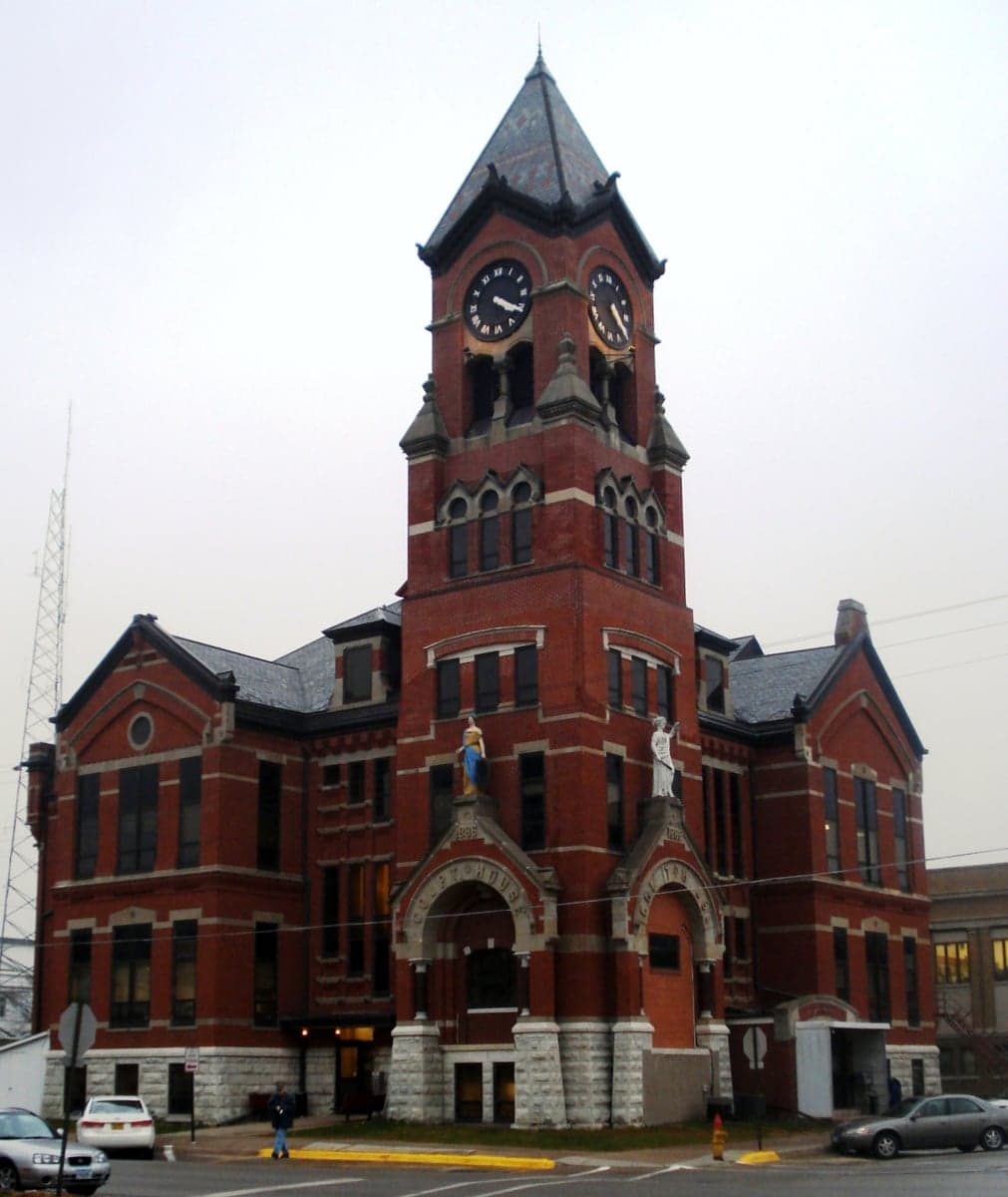
Photo: Wikipedia
Strategic Assessment of Washington County
Workable tactical position. Some exposure to population density or targets, but generally defensible in a crisis.
What does the Strategic Assessment tell us?
Our Strategic Assessment grades tactical survivability of an area. Major population centers, military targets, fallout zones, natural disasters, and border exposure all drive risk — lower exposure means a more defensible position in a crisis.
This is heavily inspired by Joel Skousen's Strategic Relocation book. Highly recommended you checkout the book ($)What does this tell us?
Our Strategic Assessment grades tactical survivability of an area. Major population centers, military targets, fallout zones, natural disasters, and border exposure all drive risk — lower exposure means a more defensible position in a crisis.
This is heavily inspired by Joel Skousen's Strategic Relocation book. Highly recommended you checkout the book ($)Strategic Pillars

Key Distances
Strategic Assessment Analysis
Washington County, Iowa, offers a compelling strategic profile for relocators prioritizing resilience and self-sufficiency, balancing its position in the rural Midwest with proximity to major urban centers. The county’s strength lies in its agricultural foundation, low population density, and distance from high-value target zones, while its location along the Interstate 80 corridor provides practical access to resources and markets without the vulnerabilities of dense metro areas. For a conservative-leaning audience focused on disaster readiness, this area presents a calculated trade-off: genuine rural stability with manageable exposure to regional risks.
Geographic position and natural advantages for long-term stability
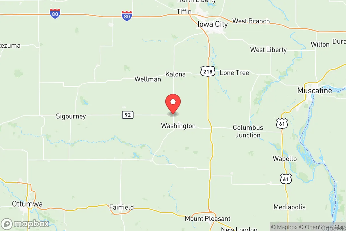
Washington County sits in southeast Iowa, roughly 30 miles south of Iowa City and 50 miles west of the Mississippi River. Its geography is defined by the gently rolling plains of the Southern Iowa Drift Plain, offering fertile soil and moderate elevation—typically 700 to 800 feet above sea level—which reduces flood risk compared to river-bottom communities. The county’s 569 square miles contain a population of about 22,000, with the city of Washington as the county seat (population ~7,300). Other incorporated towns include Kalona, Wellman, Brighton, and Ainsworth, each with populations under 3,000, creating a dispersed settlement pattern that enhances community-level resilience. The area’s natural advantages include reliable rainfall (averaging 35 inches annually), a temperate climate with four distinct seasons, and minimal seismic or wildfire risk. The English River and numerous creeks drain the county, providing surface water sources that supplement groundwater from the Jordan Aquifer, which underlies much of the region at depths of 500–1,000 feet. This hydrogeological setting means most rural properties can access potable water via private wells, a key consideration for off-grid preparedness. The county’s agricultural land—primarily corn and soybeans—covers over 90% of its area, offering a local food production base that few suburban or exurban counties can match.
Risk exposure and proximity to fallout-relevant landmarks
Washington County’s primary risk exposure stems from its location within the broader Midwest, not from direct proximity to high-value military or industrial targets. The nearest major military installation is the Iowa Army Ammunition Plant in Middletown (Des Moines County), about 40 miles southeast, which produces conventional munitions and could be a secondary target in a conflict scenario. The county sits roughly 100 miles west of the Quad Cities (Davenport, Bettendorf, Rock Island, Moline), which host the Rock Island Arsenal—a major Army manufacturing and logistics center—and the Davenport Rail Bridge, a critical Mississippi River crossing. These are plausible primary targets, but Washington County’s distance and prevailing westerly winds (typically from the southwest) mean fallout from a strike on the Quad Cities would likely disperse eastward, away from the county. More concerning is the county’s position 150 miles northeast of the Kansas City metropolitan area, which includes Whiteman Air Force Base (home to B-2 bombers) and significant rail and highway infrastructure. A ground-burst nuclear detonation at Whiteman could produce fallout that, under certain wind patterns, might reach southeast Iowa within 6–12 hours. However, the county’s rural character and lack of major industrial facilities—no refineries, ports, or nuclear power plants within 50 miles—make it a low-priority target itself. The nearest nuclear power plant is the Duane Arnold Energy Center in Palo (Linn County), about 60 miles north, which is permanently shut down since 2020, eliminating that risk vector. Natural hazards include occasional tornadoes (Iowa averages 48 tornadoes annually, with Washington County in the moderate-risk zone), severe thunderstorms with hail, and winter ice storms that can disrupt power for days. Flooding is localized to low-lying areas near the English River and smaller creeks; the city of Washington has experienced minor flood events but nothing on the scale of Iowa’s major river communities.
Practical resilience for relocators: food, water, energy, and defensibility
For a relocator serious about self-sufficiency, Washington County offers strong fundamentals. Food security is the standout advantage: the county is part of Iowa’s agricultural heartland, with dozens of family farms, grain elevators in Washington and Kalona, and a thriving Amish and Mennonite community near Kalona that produces meat, dairy, and preserved goods through traditional methods. The Kalona Produce Auction and local farmers’ markets provide direct access to fresh vegetables, eggs, and meat without relying on national supply chains. Water availability is excellent: the Jordan Aquifer provides reliable groundwater at depths of 200–400 feet in most of the county, and private well installation costs ($5,000–$12,000) are reasonable for a prepared household. Surface water from the English River and its tributaries can supplement with proper filtration. Energy resilience is moderate: the county is served by Alliant Energy and local electric cooperatives, with grid reliability typical of rural Iowa (average outage duration 2–4 hours for weather events, longer for ice storms). Solar potential is good—Iowa averages 200 sunny days per year—and zoning in unincorporated areas is generally permissive for solar panels, wind turbines, and backup generators. Wood heating is viable given the county’s 15% forest cover, primarily along waterways. Defensibility is a mixed picture: the county’s open agricultural terrain offers long sightlines but limited natural cover. The dispersed settlement pattern means neighbors are typically 1/4 to 1/2 mile apart, reducing the risk of cascading social collapse but also limiting mutual support. The city of Washington has a police department with 12 sworn officers, while the county sheriff’s office covers rural areas with about 15 deputies—adequate for routine law enforcement but stretched thin in a crisis. The nearest Level 1 trauma center is the University of Iowa Hospitals and Clinics in Iowa City, 30 miles north, which is a 35-minute drive under normal conditions but could be compromised in a regional emergency. For relocators seeking a balance between rural self-sufficiency and access to medical infrastructure, the county’s proximity to Iowa City is a double-edged sword: it provides world-class healthcare but also ties the area to a major university town that could become a secondary target or refugee magnet.
The overall strategic picture for Washington County is one of moderate resilience with specific strengths in food and water security, offset by exposure to regional fallout risks from distant but significant military targets. For a relocator who values agricultural self-reliance, low population density, and a conservative community culture, this area offers a viable base of operations—provided they invest in backup power, well water, and a robust food storage system. The county’s location along Highway 1 and Highway 92, with easy access to I-80, allows for practical supply runs to Iowa City or the Quad Cities while maintaining a buffer from those urban centers. The Amish and Mennonite presence near Kalona provides a living model of low-tech resilience that secular relocators can learn from. However, the area is not a fallout-free zone: its position within 150 miles of multiple plausible targets means a prudent relocator should plan for at least 72 hours of shelter-in-place capability, with a longer-term plan for potential population displacement from Iowa City or Des Moines. For the conservative-leaning reader who values preparedness over paranoia, Washington County represents a solid B+ option—not the most remote or defensible location in the Midwest, but one where practical resilience can be built on a foundation of fertile land, clean water, and a community that still knows how to grow its own food.

* Values derived from national, state, county, city and local statistics and may differ in a specific area. Last updated: 2026-10-17T01:17:46.000Z
Narrative content on this page is AI-generated and may contain mistakes. Verify any details that matter before acting on them.
ReloMaps may earn a commission from affiliate links at no extra cost to you.

