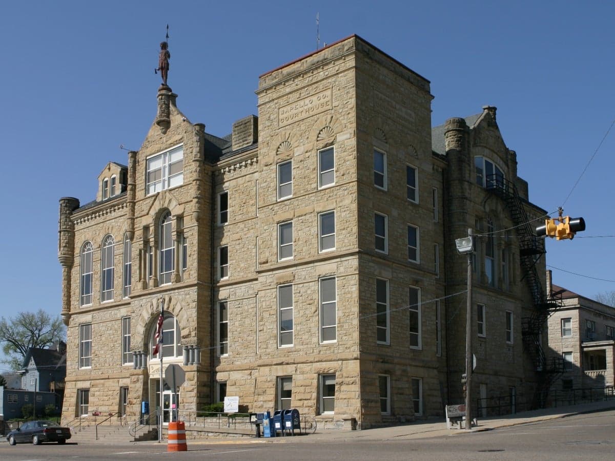
Photo: Wikipedia
Strategic Assessment of Wapello County
Workable tactical position. Some exposure to population density or targets, but generally defensible in a crisis.
What does the Strategic Assessment tell us?
Our Strategic Assessment grades tactical survivability of an area. Major population centers, military targets, fallout zones, natural disasters, and border exposure all drive risk — lower exposure means a more defensible position in a crisis.
This is heavily inspired by Joel Skousen's Strategic Relocation book. Highly recommended you checkout the book ($)What does this tell us?
Our Strategic Assessment grades tactical survivability of an area. Major population centers, military targets, fallout zones, natural disasters, and border exposure all drive risk — lower exposure means a more defensible position in a crisis.
This is heavily inspired by Joel Skousen's Strategic Relocation book. Highly recommended you checkout the book ($)Strategic Pillars

Key Distances
Strategic Assessment Analysis
Wapello County, anchored by the city of Ottumwa, offers a strategic position for those prioritizing resilience and self-sufficiency in the American heartland, balancing agricultural stability with a location that is far enough from major metropolitan targets to avoid the worst of potential fallout, yet connected enough for supply access. The county’s location along the Des Moines River and its position in southeastern Iowa provide a mix of fertile bottomlands and rolling hills, creating a natural buffer against the kind of cascading disruptions that threaten denser regions. For a relocator thinking seriously about disaster readiness, Wapello County presents a workable middle ground—neither a remote bunker nor a vulnerable suburb, but a functioning rural county with a small city core and a surrounding landscape that can support a more independent lifestyle.
Geographic position and natural advantages for self-sufficiency
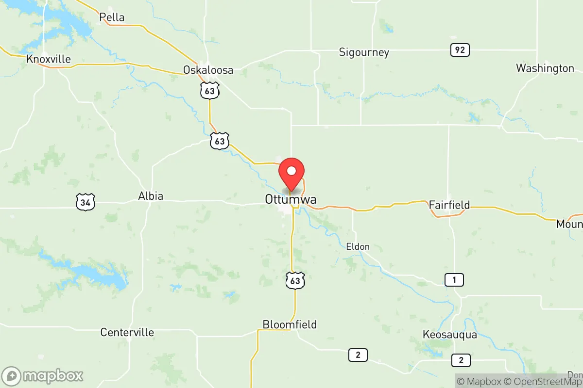
Wapello County sits roughly 80 miles southeast of Des Moines and about 50 miles north of the Missouri border, placing it in a zone that avoids the direct blast and fallout corridors of major strategic targets like Offutt Air Force Base near Omaha or the Whiteman Air Force Base in Missouri. The county’s defining feature is the Des Moines River, which cuts through Ottumwa and provides a reliable freshwater source—critical for both daily life and long-term resilience. The surrounding terrain is a mix of agricultural plains and wooded hills, particularly in the southern and eastern parts of the county near towns like Agency and Eldon, which offer natural cover and defensible positions. The county’s position in the Southern Iowa Drift Plain means the land is more varied than the flat northern prairies, with creek valleys and ridges that can support dispersed settlement and small-scale farming. For a relocator, this geography means access to water, arable land, and terrain that makes large-scale surveillance or movement difficult—practical advantages for anyone serious about preparedness.
Risks, exposures, and proximity to fallout-relevant landmarks
While Wapello County is not a primary target, it is not immune to secondary risks. The county lies within 100 miles of the Burlington Northern Santa Fe (BNSF) rail corridor that runs through southern Iowa, a critical logistics artery that could see disruption during a national emergency. More directly, the county is roughly 120 miles from the Omaha-Council Bluffs metropolitan area, which contains Offutt Air Force Base—a major U.S. Strategic Command hub and a likely first-strike target in a nuclear scenario. Fallout patterns from a strike on Offutt would depend on wind direction, but prevailing westerlies mean Wapello County could be in a downwind plume path, particularly the western parts of the county near Chillicothe and Kirkville. Additionally, the county is about 150 miles from the Kansas City metro area, another potential target due to its transportation and command infrastructure. On the natural disaster front, Wapello County faces tornado risk—it sits in the heart of Tornado Alley—and the flat-to-rolling terrain offers little natural shielding from severe weather. Flooding along the Des Moines River is a recurring issue, with Ottumwa experiencing significant flood events in 2008 and 2018, which damaged infrastructure and displaced residents. For a relocator, these risks mean that any property should be evaluated for floodplain status and that a robust storm shelter is a non-negotiable investment.
Practical resilience for a relocator: food, water, energy, and defensibility
Wapello County’s agricultural base is its strongest resilience asset. The county is part of Iowa’s corn and soybean belt, with local grain elevators and processing facilities in Ottumwa and Eddyville that can supply animal feed and raw foodstuffs even during supply chain interruptions. The JBS pork processing plant in Ottumwa is one of the largest in the region, employing over 2,000 workers and providing a local source of protein that would remain operational under most scenarios. For water, the Des Moines River is supplemented by the Rathbun Lake Regional Water System, which draws from Rathbun Lake in nearby Appanoose County and serves much of southern Iowa, including parts of Wapello County. This gives residents a redundant water source beyond local wells. Energy infrastructure is mixed: Alliant Energy operates a coal-fired power plant in Ottumwa, but it is aging and faces regulatory pressure; the county also has growing wind energy capacity, with turbines appearing in the rural areas near Blakesburg and Martinsburg. For off-grid capability, the wooded hills in the county’s eastern half provide firewood and building materials, and the agricultural landscape means that solar panel installation is feasible on most rural properties. Defensibility is moderate: the county’s dispersed population—roughly 35,000 people across 432 square miles—means that a determined group could secure a perimeter around a farm or small town, but Ottumwa itself (population ~25,000) would be a chokepoint for any large-scale movement. The county’s road network, centered on U.S. Highway 63 and Iowa Highway 149, offers multiple egress routes but also makes the area accessible to outsiders. For a relocator, the practical takeaway is that Wapello County offers strong food and water security, moderate energy options, and a defensible landscape if you choose a rural property away from the main highways.
Overall, Wapello County represents a viable but not exceptional option for the disaster-conscious relocator. Its strengths lie in its agricultural self-sufficiency, reliable water access, and a location that is far enough from major targets to avoid immediate destruction but close enough to be affected by fallout and secondary disruptions. The county’s weaknesses are its exposure to tornadoes and flooding, its dependence on a single large employer (JBS) for economic stability, and its position within 150 miles of two high-value target zones (Omaha and Kansas City). For a single individual or family willing to invest in flood mitigation, storm shelters, and off-grid energy, Wapello County offers a realistic base for long-term resilience—especially if you choose a property in the eastern or southern parts of the county, near Eldon or Agency, where the terrain provides more natural cover and the population density is lower. It is not a fortress, but it is a functional, working landscape that can support a prepared household without requiring a complete retreat from society.

* Values derived from national, state, county, city and local statistics and may differ in a specific area. Last updated: 2026-07-16T18:25:32.000Z
Narrative content on this page is AI-generated and may contain mistakes. Verify any details that matter before acting on them.
ReloMaps may earn a commission from affiliate links at no extra cost to you.

