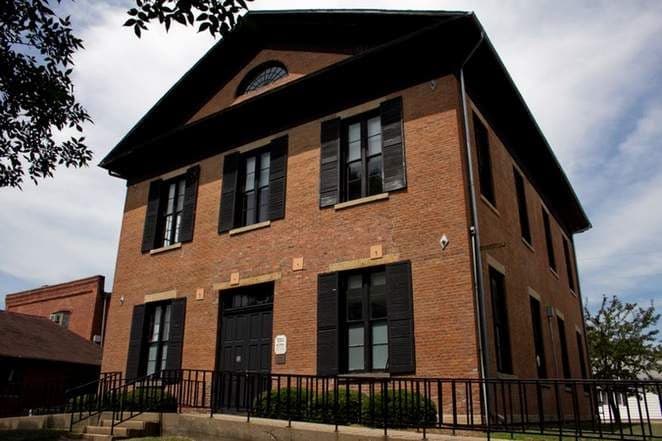
Photo: Wikipedia
Strategic Assessment of Van Buren County
Strong survivability profile. Good buffer from population centers, with manageable environmental and tactical risks.
What does the Strategic Assessment tell us?
Our Strategic Assessment grades tactical survivability of an area. Major population centers, military targets, fallout zones, natural disasters, and border exposure all drive risk — lower exposure means a more defensible position in a crisis.
This is heavily inspired by Joel Skousen's Strategic Relocation book. Highly recommended you checkout the book ($)What does this tell us?
Our Strategic Assessment grades tactical survivability of an area. Major population centers, military targets, fallout zones, natural disasters, and border exposure all drive risk — lower exposure means a more defensible position in a crisis.
This is heavily inspired by Joel Skousen's Strategic Relocation book. Highly recommended you checkout the book ($)Strategic Pillars

Key Distances
Strategic Assessment Analysis
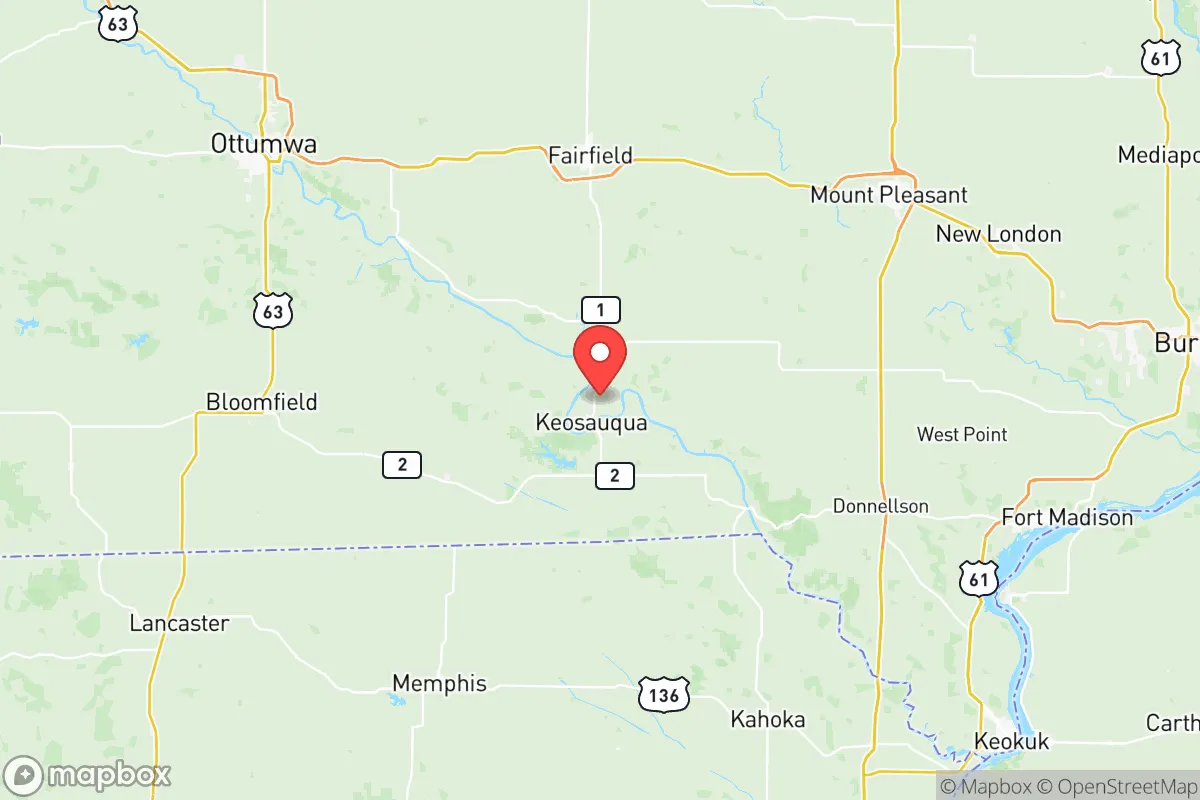
Van Buren County, Iowa, offers a compelling strategic profile for relocation-minded individuals and families prioritizing resilience and self-sufficiency, anchored by its position in the state's southeast corner. The county's seat, Keosauqua, sits along the Des Moines River, providing a natural water resource and a historic small-town anchor, while the broader county of roughly 7,000 residents benefits from its location between the larger regional hubs of Ottumwa (to the northwest) and Fort Madison (to the southeast). This positioning grants meaningful separation from major metropolitan corridors—you're roughly 90 minutes from the Quad Cities and over two hours from Des Moines—while still maintaining access to essential services and supply chains. The area's agricultural foundation, low population density, and distance from primary national target zones make it a serious candidate for those evaluating long-term preparedness and geographic security.
Geographic position and natural advantages for long-term security
Van Buren County's most significant strategic asset is its location within the Southern Iowa Drift Plain, a region characterized by rolling hills, wooded valleys, and a network of rivers and creeks that create natural defensibility and resource availability. The Des Moines River cuts through the county's western edge, with the Lacey-Keosauqua State Park offering over 1,600 acres of forested terrain along its banks—a tangible resource for firewood, game, and water access. The county's topography is notably more varied than the flat expanses of northern and central Iowa, providing natural cover and drainage advantages. Villages like Birmingham, Libertyville, and Stockport dot the landscape with populations under 500, reinforcing the low-density character that reduces competition for local resources in a crisis scenario. The county's position also places it outside the primary wind patterns that would carry fallout from potential strikes on the Omaha or Kansas City metropolitan areas, and its distance from the Mississippi River's major industrial corridors—while still being within 30 miles of the river itself—offers a balance of accessibility and separation.
Risk exposure and proximity to fallout-relevant landmarks
While Van Buren County avoids the highest-risk zones, a realistic assessment must acknowledge its proximity to several secondary concerns. The county lies roughly 60 miles from the Iowa Army Ammunition Plant in Middletown (near Burlington), a major Department of Defense facility that produces and stores conventional munitions. This distance is sufficient to avoid blast effects but places the county within a plausible secondary fallout zone depending on wind direction. Similarly, the Duane Arnold Energy Center near Palo, Iowa's only nuclear power plant (now decommissioned but still housing spent fuel), sits about 100 miles northwest—beyond the most severe risk radius but worth noting for comprehensive planning. The county's agricultural character means that grain elevators, fertilizer storage facilities, and anhydrous ammonia tanks are present in towns like Keosauqua and Farmington, representing localized chemical hazards that are manageable with basic awareness. More positively, the county is far removed from the nation's primary strategic targets: no major military bases, no intercontinental ballistic missile silos, no major refineries or ports exist within its borders or within 50 miles. This absence of high-value infrastructure is arguably Van Buren County's strongest resilience credential.
Practical resilience for a relocator: food, water, energy, and defensibility
For a relocator serious about self-sufficiency, Van Buren County presents a workable baseline with specific advantages and limitations. The county's prime agricultural soils support row crops (corn and soybeans dominate) and pastureland, meaning that a property with 5-20 acres can realistically sustain a family garden, small orchard, and livestock operation. The Des Moines River and its tributaries—including the Chequest Creek and Sugar Creek watersheds—provide surface water sources, though well drilling is the standard for rural properties and depths typically range from 50 to 150 feet depending on location. Wooded acreage is abundant and relatively affordable, with timber suitable for heating, construction, and fencing, which directly addresses energy and material needs. The county's rural electric cooperatives (notably Allamakee-Clayton Electric Cooperative and Chariton Valley Electric Cooperative) serve most areas, but off-grid solar is viable given Iowa's moderate solar insolation—though winter cloud cover requires battery storage planning. Defensibility is naturally strong: the rolling terrain and tree lines provide visual screening, and the county's low population density means that a well-chosen property on a dead-end gravel road offers inherent security through isolation. Keosauqua's Van Buren County Hospital provides basic medical care, but trauma and specialist care require transport to Ottumwa (45 minutes) or Iowa City (90 minutes), which is a realistic consideration for long-term planning.
The overall strategic picture for Van Buren County is one of balanced, moderate resilience with meaningful geographic buffers. It lacks the extreme isolation of the Mountain West or the resource abundance of the Pacific Northwest, but it compensates with affordability, a functional agricultural base, and a position that avoids the highest-risk corridors. For a conservative-leaning relocator who values community, self-reliance, and a slower pace without wanting to feel completely disconnected, the county offers a pragmatic middle ground. The presence of small towns like Farmington (population ~650) and Bonaparte (population ~400) provides social infrastructure—churches, local government, and mutual aid networks—that are often absent in more remote areas. The key trade-off is clear: you gain safety from national-level threats and a workable environment for self-sufficiency, but you accept limited economic opportunity and a long drive for specialized services. For the right person or family, that trade-off is precisely the point.

* Values derived from national, state, county, city and local statistics and may differ in a specific area. Last updated: 2026-10-17T20:20:16.000Z
Narrative content on this page is AI-generated and may contain mistakes. Verify any details that matter before acting on them.
ReloMaps may earn a commission from affiliate links at no extra cost to you.

