Photo: Wikipedia
Strategic Assessment of Monroe County
Strong survivability profile. Good buffer from population centers, with manageable environmental and tactical risks.
What does the Strategic Assessment tell us?
Our Strategic Assessment grades tactical survivability of an area. Major population centers, military targets, fallout zones, natural disasters, and border exposure all drive risk — lower exposure means a more defensible position in a crisis.
This is heavily inspired by Joel Skousen's Strategic Relocation book. Highly recommended you checkout the book ($)What does this tell us?
Our Strategic Assessment grades tactical survivability of an area. Major population centers, military targets, fallout zones, natural disasters, and border exposure all drive risk — lower exposure means a more defensible position in a crisis.
This is heavily inspired by Joel Skousen's Strategic Relocation book. Highly recommended you checkout the book ($)Strategic Pillars

Key Distances
Strategic Assessment Analysis
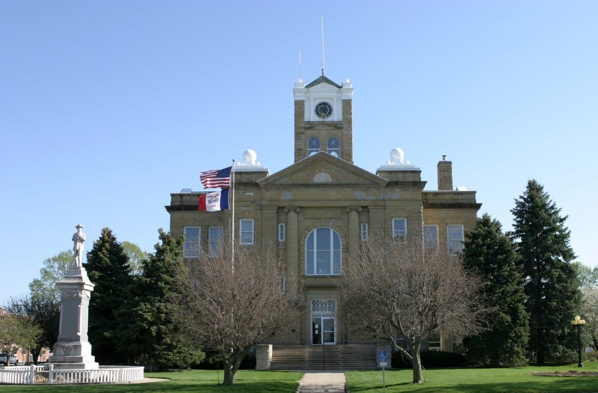
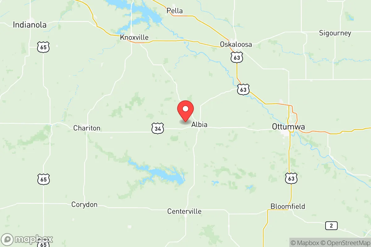
Monroe County, Iowa, offers a strategic resilience profile that punches well above its weight for a rural county of roughly 7,500 residents. Anchored by the county seat of Albia and the smaller community of Lovilia, the area sits in the Southern Iowa Drift Plain, a landscape of rolling hills and wooded creek valleys that provides natural cover and defensible terrain. Its position roughly 75 miles southeast of Des Moines and 90 miles northeast of Kansas City's outer suburbs places it far enough from major metropolitan blast zones to matter, yet close enough to regional supply chains to remain practically viable.
Geographic position and natural advantages for long-term stability
The county's topography is its first and most underrated asset. Unlike the flat, exposed farmland of northern Iowa, Monroe County's steep ravines, timbered ridges, and the Chariton River valley create natural choke points and visual screening. The county is drained by the Des Moines River on its western edge and the Chariton River system through its center, providing multiple surface water sources that do not rely on a single, vulnerable municipal well field. The terrain also supports a higher percentage of woodland cover than most Iowa counties, which translates into firewood resources, wildlife habitat, and natural building materials in a prolonged disruption scenario.
Transportation access is a double-edged sword but leans positive. Highway 34 runs east-west through Albia, connecting to Ottumwa (25 miles east) and the Interstate 35 corridor near Osceola (40 miles west). Highway 5/14 provides a north-south route toward Des Moines and the Missouri border. This gives residents evacuation flexibility and supply access without placing them on a primary interstate artery that would become a congestion or targeting liability. The nearby cities of Ottumwa, Oskaloosa, and Centerville are small enough to avoid strategic significance but large enough to host regional hospitals, rail yards, and distribution centers that would remain functional in most scenarios.
Risk exposure and proximity to fallout-relevant landmarks
Monroe County's risk profile is notably clean compared to much of the Midwest. There are no nuclear power plants within 100 miles; the nearest commercial reactors are at Quad Cities (about 150 miles east) and Cooper Station in Nebraska (roughly 180 miles west). The county hosts no military installations, no major rail hubs, and no interstate interchanges of strategic value. The largest industrial presence is the Vermeer Corporation manufacturing plant in Pella, 35 miles north, which produces heavy equipment but is not a likely targeting priority.
The most significant fallout-relevant consideration is the county's position relative to the broader Des Moines–Ottumwa corridor. Des Moines, with its state government, insurance headquarters, and the Des Moines International Airport, is a plausible secondary target in a conflict scenario. Monroe County sits outside the prevailing wind patterns that would carry significant fallout from that direction in most weather conditions, though a shift to northwest winds would change that calculus. The ethanol plants and rail transload facilities in the region, including the POET Biorefining plant in Coon Rapids and the Iowa Interstate Railroad mainline through Ottumwa, are minor but non-zero risk factors. The county's distance from the Mississippi River locks and dams, the Union Pacific's main transcontinental line, and any major petroleum pipeline corridors means it avoids the cascading secondary risks that plague counties along those arteries.
Practical resilience for a relocator: food, water, energy, and defensibility
Food security is Monroe County's strongest practical advantage. The county has a robust mix of row-crop agriculture and livestock operations, with cattle and hog farms scattered throughout the creek valleys. The Albia Farmers Market operates seasonally, and the surrounding Amish and Mennonite communities in nearby Davis and Appanoose counties provide a decentralized network of small-scale food production that operates largely outside industrial supply chains. A relocator with even modest gardening skills and a few acres of bottomland can achieve meaningful food self-sufficiency within two growing seasons. The county's 40-plus inches of annual rainfall and 160-day growing season are favorable for most staple crops.
Water access is above average for the region. Albia's municipal water system draws from the Des Moines River alluvial aquifer, and the county's numerous springs and perennial creeks offer backup sources for those with proper filtration. Well-drilling costs in the area run $15,000 to $25,000 for a residential well, and the water table is accessible at 50 to 150 feet in most locations. Energy resilience is more challenging. The county is served by Alliant Energy, and rural power outages are common during winter ice storms and summer thunderstorms. However, the prevalence of farm shops, outbuildings, and rural acreages means that propane storage, backup generators, and wood heat are already normalized in the local culture. Solar potential is moderate, with roughly 200 sunny days per year, but the hilly terrain requires careful siting.
Defensibility is where the county's geography truly shines. The Chariton River bluffs and the dense timber along the county's many creeks create natural perimeter barriers. The county's low population density—about 17 people per square mile—means that a rural property with a long driveway and clear sightlines offers a level of privacy and security that is nearly impossible to find within 100 miles of any major city. The local sheriff's office in Albia maintains a visible presence, and the county's strong hunting culture means a significant portion of the adult population is trained in firearms use and outdoor survival. The nearest National Guard armory is in Oskaloosa, 30 miles north, which is close enough for emergency response but not close enough to make the county a staging area in a crisis.
The overall strategic picture for a serious relocator
Monroe County represents a pragmatic middle path for the resilience-minded relocator. It lacks the dramatic self-sufficiency of remote mountain or high-plains locations, but it also lacks their extreme isolation, harsh winters, and water scarcity. What it offers instead is a balanced profile: defensible terrain, abundant water, productive soil, a low-target risk environment, and a local culture that already practices many of the skills that preppers and survivalists spend years acquiring. The county's weaknesses—dependence on regional power grids, moderate solar potential, and the psychological adjustment to rural Iowa's social and cultural norms—are manageable with planning and the right property selection. For a family or individual seeking a location that is strategically sound without being extreme, Monroe County deserves serious consideration.

* Values derived from national, state, county, city and local statistics and may differ in a specific area. Last updated: 2026-10-16T00:50:11.000Z
Narrative content on this page is AI-generated and may contain mistakes. Verify any details that matter before acting on them.
ReloMaps may earn a commission from affiliate links at no extra cost to you.

