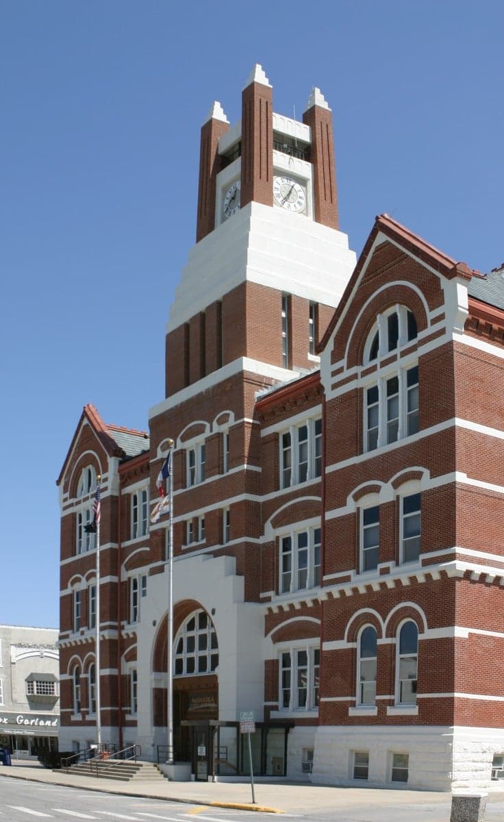
Photo: Wikipedia
Strategic Assessment of Mahaska County
Strong survivability profile. Good buffer from population centers, with manageable environmental and tactical risks.
What does the Strategic Assessment tell us?
Our Strategic Assessment grades tactical survivability of an area. Major population centers, military targets, fallout zones, natural disasters, and border exposure all drive risk — lower exposure means a more defensible position in a crisis.
This is heavily inspired by Joel Skousen's Strategic Relocation book. Highly recommended you checkout the book ($)What does this tell us?
Our Strategic Assessment grades tactical survivability of an area. Major population centers, military targets, fallout zones, natural disasters, and border exposure all drive risk — lower exposure means a more defensible position in a crisis.
This is heavily inspired by Joel Skousen's Strategic Relocation book. Highly recommended you checkout the book ($)Strategic Pillars

Key Distances
Strategic Assessment Analysis
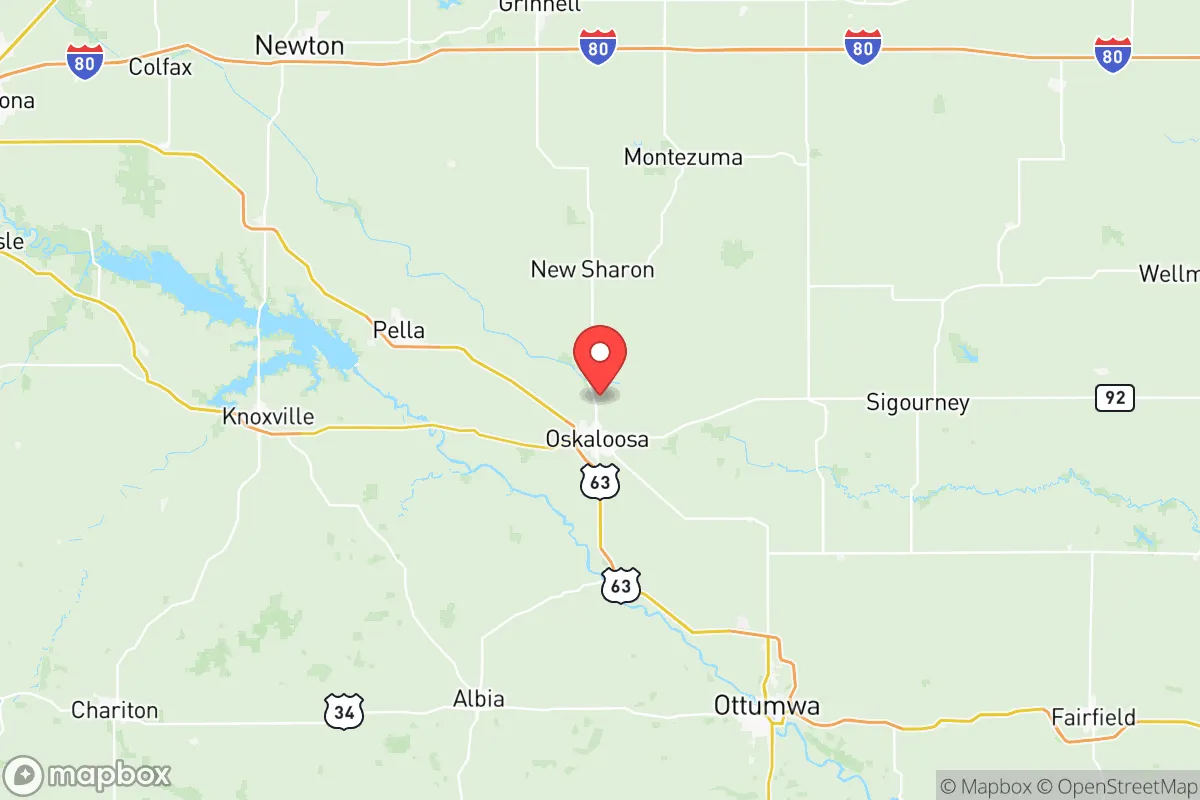
Mahaska County, anchored by the city of Oskaloosa, offers a strategic blend of Midwestern stability and practical self-sufficiency that appeals to relocation-minded individuals and families who prioritize resilience. Situated in south-central Iowa, the county sits roughly 60 miles southeast of Des Moines and 80 miles southwest of the Quad Cities, placing it far enough from major metropolitan centers to avoid their cascading failure risks while remaining within a reasonable distance for supply runs or medical evacuation. The area’s agricultural backbone, relatively low population density (about 22,000 residents across 573 square miles), and distance from high-value strategic targets make it a defensible, low-profile location for those serious about disaster readiness and long-term self-sufficiency.
Geographic position and natural advantages for long-term security
Mahaska County’s location in the Southern Iowa Drift Plain provides a subtle but meaningful defensive advantage: rolling hills, wooded creek valleys, and scattered bluffs that break up line-of-sight and create natural chokepoints. Unlike the flat, exposed terrain of northern Iowa, this undulating landscape offers multiple microclimates and hidden hollows suitable for dispersed homesteading. The county is bisected by the North Skunk River and its tributaries, including Muchakinock Creek, which provide reliable surface water sources for irrigation and livestock. Oskaloosa sits at the intersection of U.S. Highway 63 and Iowa Highway 92, giving residents two viable evacuation routes that avoid the congestion of Interstate 35, which lies 30 miles to the west. The nearest major rail hub is in Eddyville, 12 miles south, a minor classification yard that is less likely to be a primary target than the massive Union Pacific facility in Council Bluffs. For a relocator, the key takeaway is that Mahaska County offers defensible terrain, redundant water sources, and multiple egress routes — all foundational elements of a resilient relocation site.
Risk exposure: natural hazards and proximity to fallout-relevant landmarks
Mahaska County faces moderate natural risks, with no exposure to hurricanes, earthquakes, or wildfires of significant scale. The primary natural threats are severe thunderstorms, tornadoes, and flash flooding along the Skunk River floodplain. The county averages 12 tornado warnings per year, with the most recent EF-2 event striking near Leighton in 2022. Flooding is a localized concern in low-lying areas around Oskaloosa and the unincorporated community of Beacon. From a man-made risk perspective, the county’s strategic value is its distance from high-consequence targets. The nearest nuclear power plant is the Duane Arnold Energy Center in Palo, 70 miles northwest — decommissioned but still containing spent fuel. The closest active military installation is the Iowa Army Ammunition Plant in Middletown, 45 miles southeast, a conventional munitions facility that could be a secondary target. There are no major refineries, ports, or ICBM silos within 100 miles. The county’s most significant industrial risk is the Cargill grain elevator in Eddyville, which stores anhydrous ammonia — a potential chemical hazard if ruptured, but not a strategic target. For a relocator, the calculus is clear: Mahaska County is far enough from Tier-1 targets to avoid direct blast effects and significant fallout plumes, while still being within the fallout shadow of a major strike on the Quad Cities or Des Moines if prevailing winds align unfavorably.
Practical resilience for a relocator: food, water, energy, and defensibility
Mahaska County’s agricultural economy is a direct resilience asset. The county produces over 40 million bushels of corn and 12 million bushels of soybeans annually, with extensive livestock operations — primarily hog finishing and cattle feedlots — concentrated around New Sharon, Barnes City, and Fremont. This means local food production is not a theoretical possibility but an existing reality. The county has 14 active farmers’ markets, with the Oskaloosa Farmers Market operating from May through October. For water security, the North Skunk River and Lake Keomah (a 70-acre reservoir east of Oskaloosa) provide year-round surface water, while the Jordan Aquifer lies at accessible depths (200-400 feet) for private wells. The county’s energy grid is served by Alliant Energy, with a 345-kV transmission line running through the county — a major trunk that is more resilient than rural distribution lines. For off-grid capability, the rolling terrain offers numerous south-facing slopes suitable for solar installation, and the county has no zoning restrictions on residential solar panels or rainwater catchment. Defensibility is enhanced by the county’s road network: over 60% of roads are gravel or unpaved, which slows vehicle movement and creates natural perimeter awareness for residents. The Mahaska County Sheriff’s Office maintains a response time of 8-12 minutes in rural areas, and the Oskaloosa Police Department provides 24/7 coverage in the county seat. For a relocator, the practical takeaway is that Mahaska County offers immediate access to local food, abundant surface and groundwater, grid-independent energy potential, and a road network that favors defenders — all within a community that already understands self-reliance.
The overall strategic picture for Mahaska County is one of balanced, unglamorous resilience. It lacks the dramatic defensive geography of the Mountain West or the coastal access of the Pacific Northwest, but it also lacks their catastrophic risk profiles — no seismic zones, no tsunami exposure, no megadrought. What it offers is a low-profile, agriculturally self-sufficient, and strategically irrelevant location that is unlikely to be a target in any conflict scenario. The county’s distance from major military installations, nuclear power plants, and industrial corridors means that a relocator’s primary risks are natural — tornadoes and floods — rather than man-made. For a family or individual looking to build a resilient lifestyle without living in a bunker, Mahaska County represents a defensible, affordable, and practical choice that prioritizes long-term sustainability over short-term convenience. The key limitation is the harsh Iowa winter, which tests off-grid heating and food storage capabilities, but for those prepared for it, the county’s combination of agricultural abundance, water security, and strategic obscurity makes it one of the more sensible relocation options in the Upper Midwest.

* Values derived from national, state, county, city and local statistics and may differ in a specific area. Last updated: 2026-06-17T19:31:43.000Z
Narrative content on this page is AI-generated and may contain mistakes. Verify any details that matter before acting on them.
ReloMaps may earn a commission from affiliate links at no extra cost to you.

