
Photo: Wikipedia
Strategic Assessment of Black Hawk County
Workable tactical position. Some exposure to population density or targets, but generally defensible in a crisis.
What does the Strategic Assessment tell us?
Our Strategic Assessment grades tactical survivability of an area. Major population centers, military targets, fallout zones, natural disasters, and border exposure all drive risk — lower exposure means a more defensible position in a crisis.
This is heavily inspired by Joel Skousen's Strategic Relocation book. Highly recommended you checkout the book ($)What does this tell us?
Our Strategic Assessment grades tactical survivability of an area. Major population centers, military targets, fallout zones, natural disasters, and border exposure all drive risk — lower exposure means a more defensible position in a crisis.
This is heavily inspired by Joel Skousen's Strategic Relocation book. Highly recommended you checkout the book ($)Strategic Pillars

Key Distances
Strategic Assessment Analysis
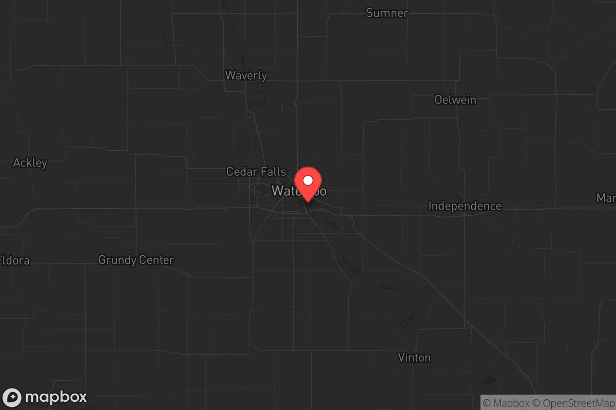
Black Hawk County, anchored by Waterloo and Cedar Falls, offers a strategic relocation option for those prioritizing resilience and self-sufficiency in the Upper Midwest. Its position along the Cedar River, roughly 100 miles from the Mississippi River and 50 miles from the Iowa-Minnesota border, places it outside the immediate blast and fallout zones of major metropolitan targets like Des Moines, Minneapolis, or Chicago. The county’s population of roughly 130,000 provides enough economic and social infrastructure to sustain essential services without the density that creates vulnerability during civil unrest or mass casualty events. For a conservative-leaning individual or family seeking a defensible, resource-rich area with a strong agricultural base, Black Hawk County represents a balanced mix of isolation and access.
Geographic position and natural advantages for long-term survival
Black Hawk County sits in the heart of Iowa’s Corn Belt, surrounded by some of the most productive farmland in the world. The Cedar River runs through the county, providing a reliable freshwater source, while the Cedar Valley Aquifer beneath the region offers groundwater reserves that are less vulnerable to surface contamination. The terrain is gently rolling, with wooded bluffs along the river and open prairie elsewhere—offering both concealment and agricultural potential. Waterloo, the county seat, is the largest urban center, but the surrounding towns of Evansdale, Hudson, and La Porte City provide lower-density alternatives with direct access to farmland and water. The county’s position along Interstate 380 and U.S. Highway 20 gives it a logistical backbone for moving supplies without being a major interstate hub that would attract military or refugee traffic during a crisis. The nearest major military installation is the Iowa Army Ammunition Plant in Middletown, about 70 miles southeast, which is a double-edged sword: it’s a potential target but also a source of skilled labor and pre-positioned supplies if the situation stabilizes.
Risks, exposures, and proximity to fallout-relevant landmarks
The primary risk for Black Hawk County is its proximity to the Duane Arnold Energy Center, a decommissioned nuclear power plant located about 40 miles southeast in Palo, Iowa. While the plant is no longer operational, spent fuel remains on site in dry cask storage, making it a potential target for sabotage or a secondary fallout source if a nearby event occurs. The county is also within 100 miles of the Iowa Army Ammunition Plant and the Rock Island Arsenal in Illinois, both of which are high-value military targets. A ground burst or airburst over either facility could send fallout plumes across eastern Iowa, depending on wind patterns. The Cedar River itself is a flood risk—Waterloo experienced major flooding in 2008 and 2016—which could complicate evacuation or supply routes during a disaster. On the positive side, Black Hawk County is far from coastal ports, major refinery corridors (like Houston or Chicago), and the nation’s largest population centers, reducing the likelihood of being overwhelmed by refugees or targeted by strategic strikes. The county’s lack of a major airport or rail hub further lowers its strategic value to an adversary.
Practical resilience for a relocator: food, water, energy, and defensibility
For a relocator focused on self-sufficiency, Black Hawk County offers strong fundamentals. The surrounding farmland produces corn, soybeans, and livestock, and the county has a robust network of local farmers’ markets, co-ops, and agricultural supply stores—critical for sourcing seeds, tools, and livestock feed post-collapse. Water access is excellent: the Cedar River runs through the county, and the Cedar Valley Aquifer provides clean groundwater at depths of 100-200 feet, making well drilling feasible for most properties. The county’s energy grid is served by MidAmerican Energy, which relies on a mix of coal, natural gas, and wind. For off-grid setups, the region’s average wind speed of 12-15 mph makes small-scale wind turbines viable, and solar panels work well during the long summer days, though winter cloud cover can reduce output. Defensibility is moderate: the open farmland offers long sightlines, but the lack of natural barriers like mountains or dense forests means a determined group could approach from any direction. The county’s population density—roughly 150 people per square mile—is low enough to avoid the chaos of urban collapse but high enough to form mutual-aid networks with like-minded neighbors. The Waterloo-Cedar Falls metropolitan area has a strong manufacturing base, including John Deere and Tyson Foods, which means skilled labor and industrial equipment are locally available for repurposing. For a family, the local school districts—particularly in Cedar Falls and Hudson—are well-regarded, and the University of Northern Iowa in Cedar Falls provides a pool of educated professionals and potential recruits for community rebuilding efforts.
Overall, Black Hawk County presents a solid strategic picture for the conservative prepper or survivalist. It avoids the worst fallout risks of coastal and metropolitan areas while offering abundant natural resources, a resilient agricultural economy, and a population that leans conservative and self-reliant. The county’s main vulnerabilities—the decommissioned nuclear plant, flood-prone river, and moderate defensibility—are manageable with proper planning, such as stockpiling potassium iodide, elevating critical supplies, and establishing a rural retreat in the southern or western parts of the county. For those willing to invest in well drilling, solar panels, and community building, Black Hawk County offers a viable long-term base for weathering civil unrest, economic collapse, or larger-scale disasters. It’s not a fortress, but it’s a damn good place to start building one.
* Values derived from national, state, county, city and local statistics and may differ in a specific area. Last updated: 2026-05-15T21:48:51.000Z
Narrative content on this page is AI-generated and may contain mistakes. Verify any details that matter before acting on them.
ReloMaps may earn a commission from affiliate links at no extra cost to you.