
Photo: Wikipedia
Strategic Assessment of Vanderburgh County
Workable tactical position. Some exposure to population density or targets, but generally defensible in a crisis.
What does the Strategic Assessment tell us?
Our Strategic Assessment grades tactical survivability of an area. Major population centers, military targets, fallout zones, natural disasters, and border exposure all drive risk — lower exposure means a more defensible position in a crisis.
This is heavily inspired by Joel Skousen's Strategic Relocation book. Highly recommended you checkout the book ($)What does this tell us?
Our Strategic Assessment grades tactical survivability of an area. Major population centers, military targets, fallout zones, natural disasters, and border exposure all drive risk — lower exposure means a more defensible position in a crisis.
This is heavily inspired by Joel Skousen's Strategic Relocation book. Highly recommended you checkout the book ($)Strategic Pillars

Key Distances
Strategic Assessment Analysis
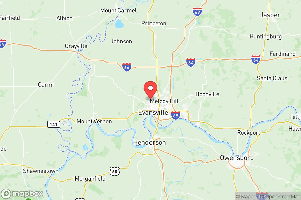
Vanderburgh County, anchored by Evansville, offers a strategic blend of Midwestern stability and logistical access that appeals to relocation-minded individuals and families prioritizing resilience. Situated in the southwestern corner of Indiana along the Ohio River, the county benefits from being far removed from major coastal population centers and their associated vulnerabilities, while still maintaining robust transportation links via Interstate 69, US 41, and the Evansville Regional Airport. This positioning provides a meaningful buffer from the congestion and concentrated risk profiles of larger metros like Indianapolis, Louisville, or St. Louis, each roughly a two- to three-hour drive away, making the area a credible option for those seeking a more defensible and self-sufficient base of operations.
Geographic position and natural advantages for long-term security
Vanderburgh County's location along the Ohio River is a double-edged sword, but its natural advantages are significant for resilience-minded relocators. The river provides a reliable, large-volume freshwater source, which is critical for long-term sustainability and agricultural irrigation. The surrounding terrain is predominantly flat to gently rolling, with fertile soils that support local farming operations, reducing dependence on distant food supply chains. The county sits within the Ohio River Valley, a region historically less prone to the extreme weather events that plague the Gulf Coast or Tornado Alley's core, though severe thunderstorms and occasional flooding do occur. The presence of the Ohio River as a natural barrier to the south, combined with the relatively low population density of the surrounding counties—Posey, Warrick, and Gibson—creates a layered buffer zone that enhances the area's strategic depth. For a relocator, this means the ability to tap into regional resources without being immediately adjacent to high-risk urban centers.
Risks, exposures, and proximity to fallout-relevant landmarks
No location is without exposure, and Vanderburgh County has specific vulnerabilities that a serious preparedness-minded reader must weigh. The most prominent risk is the Evansville Regional Airport and the associated industrial infrastructure along the river, including the Evansville Marine Terminal and several chemical storage facilities. These sites, while economically vital, represent potential secondary targets or accident hazards in a broader disruption scenario. Additionally, the county is within 100 miles of the Fort Campbell military installation (Kentucky/Tennessee border), a major Army base that could be a primary target in a conflict scenario, though the distance and intervening terrain provide some attenuation. The Ohio River itself, while a water asset, also carries barge traffic transporting industrial goods, including petrochemicals, which introduces a low-probability but high-consequence risk of a hazardous materials spill. Flooding is the most tangible natural risk, particularly in low-lying areas near the river and along Pigeon Creek, with the 1937 flood serving as a historical benchmark. For a relocator, the key takeaway is that Vanderburgh County's risks are primarily industrial and flood-related, not nuclear or military-target driven, which is a net positive compared to areas near major refineries or strategic command centers.
Practical resilience for a relocator: food, water, energy, and defensibility
For a family or individual serious about self-sufficiency, Vanderburgh County offers a practical foundation. The local food system is supported by a mix of regional farms, farmers' markets like the Evansville Downtown Market, and the proximity to agricultural counties in southwestern Indiana and western Kentucky. The Ohio River provides a virtually unlimited water source, though treatment and filtration would be necessary for off-grid use; the county's groundwater is generally adequate for well drilling in rural areas. Energy resilience is moderate: the Vectren Energy grid (now CenterPoint Energy) serves the area, and while outages from storms occur, the region is not on a fragile coastal grid. The presence of coal-fired and natural gas plants in the broader region (e.g., the Gibson Generating Station in neighboring Gibson County) means electricity generation is relatively stable. Defensibility is a mixed picture: the county's flat terrain offers limited natural chokepoints, but the river to the south and the network of state highways and county roads provide multiple egress routes. The city of Evansville itself is a population center of roughly 115,000, which introduces the risks of urban dependency, but the surrounding unincorporated areas and towns like Darmstadt and St. Joseph offer more rural, defensible parcels. For a relocator, the practical recommendation is to prioritize properties outside the Evansville city limits, ideally on higher ground away from the river floodplain, and to invest in well water and solar backup.
Overall, Vanderburgh County presents a credible, if not exceptional, strategic picture for the resilience-minded relocator. Its strengths lie in geographic isolation from major coastal and nuclear-target zones, access to the Ohio River for water and transport, and a regional agricultural base that supports food security. The weaknesses are primarily industrial proximity and flood risk, both of which can be mitigated through careful site selection within the county. For a family or individual looking to balance access to urban amenities (healthcare, supply chains) with a defensible, self-sufficient lifestyle, Vanderburgh County offers a solid middle-ground option in the Midwestern resilience landscape. It is not a remote bunker location, but it is a practical, livable base with real strategic advantages for those who plan ahead.

* Values derived from national, state, county, city and local statistics and may differ in a specific area. Last updated: 2026-07-22T17:06:36.000Z
Narrative content on this page is AI-generated and may contain mistakes. Verify any details that matter before acting on them.
ReloMaps may earn a commission from affiliate links at no extra cost to you.

