Photo: Wikipedia
Strategic Assessment of Tippecanoe County
Meaningful friction. Expect exposure to either population pressure, blast zones, or natural disaster risk. Consider buying a retreat property.
What does the Strategic Assessment tell us?
Our Strategic Assessment grades tactical survivability of an area. Major population centers, military targets, fallout zones, natural disasters, and border exposure all drive risk — lower exposure means a more defensible position in a crisis.
This is heavily inspired by Joel Skousen's Strategic Relocation book. Highly recommended you checkout the book ($)What does this tell us?
Our Strategic Assessment grades tactical survivability of an area. Major population centers, military targets, fallout zones, natural disasters, and border exposure all drive risk — lower exposure means a more defensible position in a crisis.
This is heavily inspired by Joel Skousen's Strategic Relocation book. Highly recommended you checkout the book ($)Strategic Pillars

Key Distances
Strategic Assessment Analysis
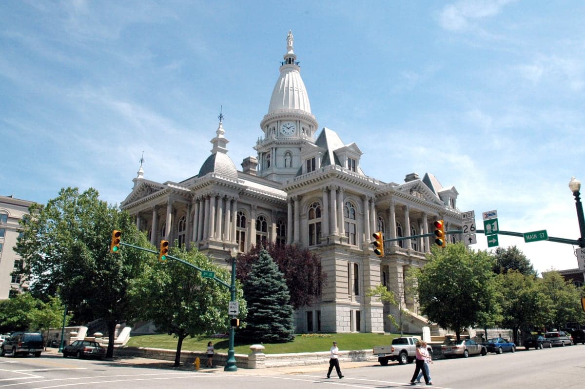
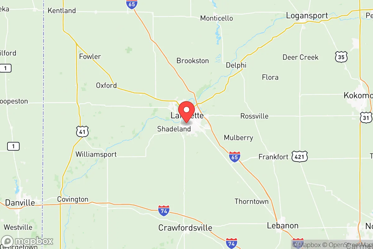
Tippecanoe County, anchored by Lafayette and West Lafayette, offers a compelling blend of Midwestern stability and strategic positioning that appeals to relocation-minded individuals and families with a conservative, preparedness-oriented outlook. The area’s resilience stems from its diversified economy—anchored by Purdue University, major manufacturing plants like Subaru of Indiana Automotive and Caterpillar, and a growing ag-tech sector—which provides a buffer against single-industry downturns. Its location roughly 60 miles northwest of Indianapolis and 120 miles southeast of Chicago places it within a reasonable distance of major urban resources while maintaining a distinct small-city character with a population of just over 170,000. For those assessing long-term security and self-sufficiency, Tippecanoe County presents a mix of genuine geographic advantages and exposure to risks that warrant careful consideration.
Geographic position and natural advantages for long-term security
Tippecanoe County sits in the flat to gently rolling terrain of the Wabash River Valley, a landscape that offers both agricultural bounty and practical defensibility. The Wabash River itself runs through the county, providing a significant freshwater resource, while the Tippecanoe River joins it near the county’s northern edge. This riverine network supports fertile soils that have made the area a consistent agricultural producer—corn, soybeans, and livestock operations dominate the rural landscape. The county’s position in west-central Indiana places it outside the direct path of most major tornado alleys, though severe weather remains a seasonal reality. The terrain lacks significant elevation changes, which simplifies construction and infrastructure maintenance but offers few natural chokepoints for defense. The presence of Purdue University’s 2,468-acre main campus in West Lafayette brings with it research capabilities in agriculture, engineering, and veterinary medicine that could prove invaluable in a prolonged disruption scenario. The county’s relatively low population density outside the Lafayette-West Lafayette urban core means that rural parcels with well water, septic systems, and garden space remain accessible and affordable compared to suburban rings around larger cities.
Risks, exposures, and proximity to fallout-relevant landmarks
While Tippecanoe County avoids the highest-risk zones for natural disasters, it is not without vulnerabilities. The county lies within the Wabash Valley Seismic Zone, a region capable of producing earthquakes up to magnitude 7.0, though such events are rare—the last significant tremor was a 5.4 in 1968. Flooding along the Wabash and Tippecanoe Rivers is a recurring concern, with the 2003 flood causing over $20 million in damage in Lafayette alone. For the preparedness-minded relocator, the county’s proximity to man-made risks is more pressing. The Purdue University Reactor Number One (PUR-1), a 1-kilowatt research reactor on the West Lafayette campus, is a low-risk facility but remains a psychological consideration for those mapping fallout exposure zones. More significantly, the county sits roughly 90 miles from the Michigan City and D.C. Cook nuclear power plants along Lake Michigan, and about 100 miles from the Clinton Power Station in Illinois—distances that place Tippecanoe County outside the most severe fallout plumes but within the zone of potential economic and infrastructure disruption. The county is also within 200 miles of the Chicago metropolitan area, a high-value target in any conflict scenario, meaning that refugee flows and supply chain strain could affect the region. The presence of the Crane Naval Surface Warfare Center, about 90 miles south in Martin County, and Grissom Air Reserve Base, about 60 miles east in Miami County, adds military-adjacent infrastructure that could become a secondary target or a source of security personnel depending on the scenario.
Practical resilience for a relocator: food, water, energy, and defensibility
Tippecanoe County’s practical resilience is strongest in food and water security. The county’s agricultural base means that local food production is robust, with numerous farms, farmers’ markets, and the Purdue University Horticulture Park providing fresh produce. The Wabash River and its tributaries offer ample surface water, and the county’s groundwater aquifers are generally reliable, though well depths vary from 50 to 200 feet depending on location. For energy, the county is served by Duke Energy Indiana, which operates the Cayuga coal-fired plant about 20 miles north, and by the Purdue University utility system, which includes a combined heat and power plant. Solar adoption is growing but remains modest; the county’s flat terrain and agricultural zoning make it suitable for private solar installations, though net metering policies have been subject to change. Natural gas infrastructure is widespread in urban areas but less so in rural parts, where propane is common. Defensibility is a mixed picture: the county’s road network, centered on Interstates 65 and 74 and U.S. Route 52, provides good evacuation routes but also makes the area accessible to outsiders. The rural towns of Otterbein, Shadeland, and Romney offer more secluded options with lower visibility, while the urban core of Lafayette and West Lafayette presents challenges for perimeter security. The county’s law enforcement presence includes the Tippecanoe County Sheriff’s Office, Lafayette Police Department, and Purdue University Police Department, which together provide a baseline of security but would be stretched thin in a widespread emergency. For the relocator seeking self-sufficiency, the county’s combination of agricultural resources, water access, and moderate population density makes it a viable option, provided that property is chosen carefully—away from floodplains, with a reliable well and septic system, and with a defensible layout.
The overall strategic picture for Tippecanoe County is one of qualified opportunity. The area offers genuine advantages in food and water security, a stable economic base, and a location that is close enough to major cities to access resources but far enough to avoid their worst vulnerabilities. The risks—seismic activity, flooding, proximity to nuclear facilities, and potential refugee pressure from Chicago—are real but manageable with proper planning. For the conservative-leaning family or individual serious about disaster readiness and self-sufficiency, Tippecanoe County represents a solid middle-ground choice: not as remote as rural Montana or as fortified as a mountain compound, but far more practical for maintaining a normal life while building resilience. The key is to choose a location within the county that maximizes the natural advantages—rural acreage near the Wabash or Tippecanoe Rivers, away from flood zones, with good solar exposure and well water—while staying engaged with the local community and its resources. In a world of increasing uncertainty, Tippecanoe County offers a place where preparedness and everyday life can coexist without the extremes of isolation or vulnerability.

* Values derived from national, state, county, city and local statistics and may differ in a specific area. Last updated: 2026-08-08T16:50:12.000Z
Narrative content on this page is AI-generated and may contain mistakes. Verify any details that matter before acting on them.
ReloMaps may earn a commission from affiliate links at no extra cost to you.

