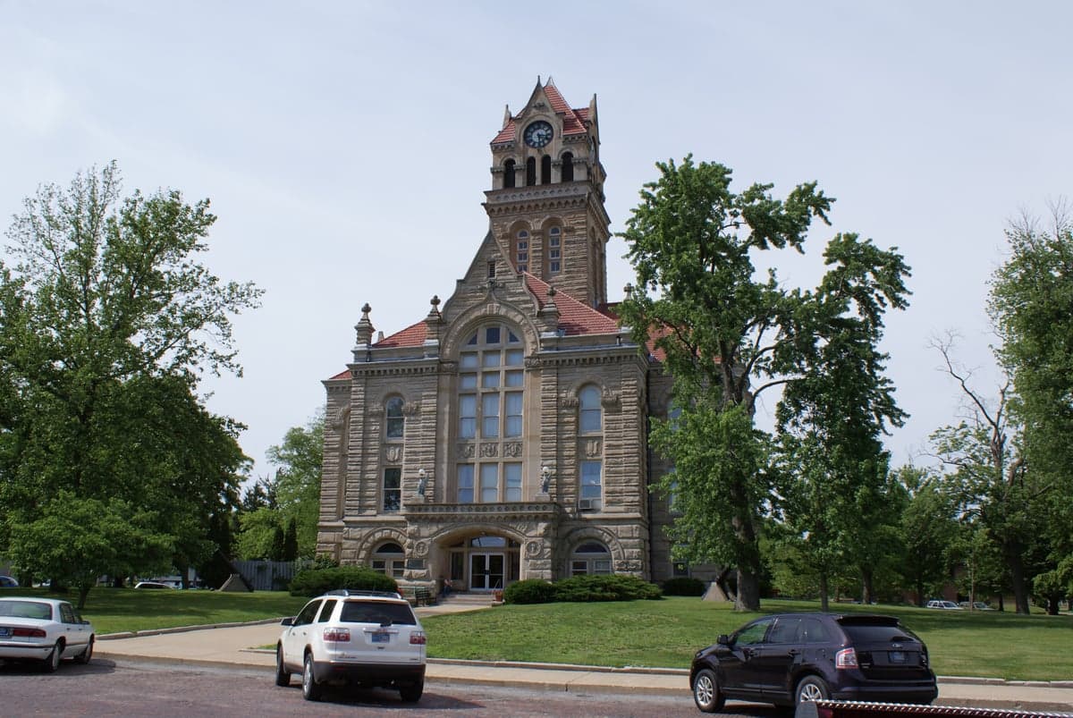
Photo: Wikipedia
Strategic Assessment of Starke County
Workable tactical position. Some exposure to population density or targets, but generally defensible in a crisis.
What does the Strategic Assessment tell us?
Our Strategic Assessment grades tactical survivability of an area. Major population centers, military targets, fallout zones, natural disasters, and border exposure all drive risk — lower exposure means a more defensible position in a crisis.
This is heavily inspired by Joel Skousen's Strategic Relocation book. Highly recommended you checkout the book ($)What does this tell us?
Our Strategic Assessment grades tactical survivability of an area. Major population centers, military targets, fallout zones, natural disasters, and border exposure all drive risk — lower exposure means a more defensible position in a crisis.
This is heavily inspired by Joel Skousen's Strategic Relocation book. Highly recommended you checkout the book ($)Strategic Pillars

Key Distances
Strategic Assessment Analysis
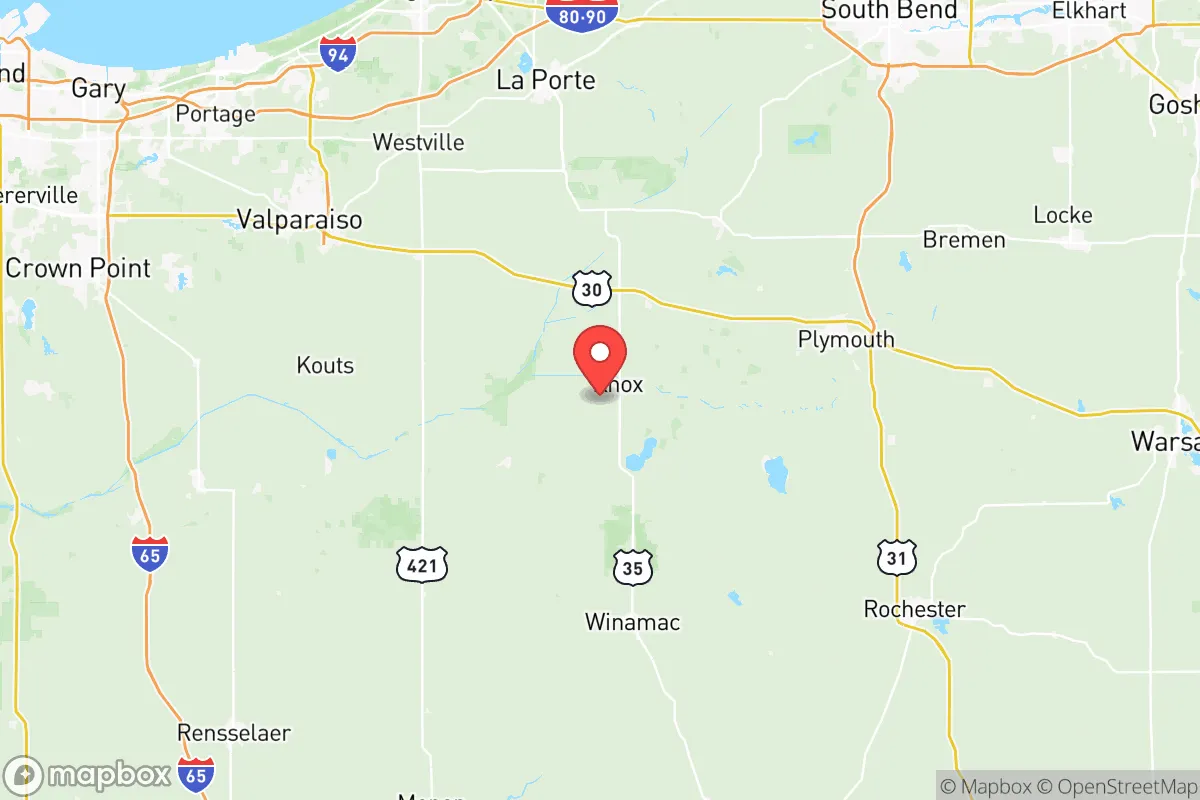
Starke County, Indiana, offers a compelling strategic profile for relocation-minded readers who prioritize resilience and self-sufficiency, balancing its position in the industrial Midwest with genuine geographic advantages. Located roughly 60 miles southeast of Chicago and 40 miles southwest of South Bend, the county sits in a transitional zone between the densely populated Chicago metropolitan area and the more rural, agricultural interior of Indiana. Its population of roughly 23,000 is spread across small towns like Knox (the county seat), Hamlet, North Judson, and Bass Lake, creating a low-density environment that is inherently more defensible and less exposed to cascading urban failures than suburban or city living. The county's location along the Kankakee River and its proximity to the Indiana Dunes National Park and Lake Michigan to the north provide natural buffers and resource access, while its distance from major military installations, refinery corridors, and high-value infrastructure targets offers a meaningful risk reduction for those thinking seriously about disaster preparedness and long-term self-sufficiency.
Geographic position and natural advantages for self-sufficiency
Starke County's geography is defined by its position within the Kankakee River watershed and the broader Great Lakes basin, which provides reliable freshwater access and fertile agricultural land. The county sits on the edge of the Indiana Grand Prairie, a region of flat, rich soil that supports row crops like corn and soybeans, making local food production a realistic possibility for relocators with land. The Kankakee River itself flows through the northern part of the county, offering a perennial water source that is less prone to contamination than urban reservoirs, and the county's numerous small lakes—including Bass Lake, Lake of the Woods, and Koontz Lake—provide additional water security and recreational utility. The area's elevation is modest, averaging around 700 feet above sea level, but the terrain is well-drained and lacks the floodplain exposure of nearby counties along the Tippecanoe or Wabash rivers. For a relocator, this means the land is suitable for private wells, septic systems, and small-scale farming without the constant threat of flooding that plagues river-bottom communities. The county's position roughly 40 miles south of Lake Michigan also places it outside the immediate blast or fallout zones of major Great Lakes ports like Burns Harbor or Michigan City, while still allowing access to the lake's massive freshwater reserve via a manageable drive.
Risks, exposures, and proximity to fallout-relevant landmarks
While Starke County avoids the highest-risk zones, it is not immune to man-made and natural threats that a strategic relocator must weigh. The most significant risk is its proximity to the Chicago metropolitan area, which lies roughly 60 miles to the northwest. In a major disaster scenario—whether a nuclear event, a grid-down electromagnetic pulse (EMP), or a cascading infrastructure failure—Chicago's population of nearly 9 million would likely generate massive refugee flows along major highways like US-30 and US-35, both of which pass through Starke County. The county is also within 50 miles of the Michigan City Generating Station, a coal-fired plant that could become a secondary target or a source of hazardous material release, and roughly 70 miles from the Palisades Nuclear Plant in Michigan (now decommissioned but still containing spent fuel). The county's own industrial assets are minimal—there are no major refineries, chemical plants, or military bases within its borders—but the presence of the Norfolk Southern and CSX rail lines running through Knox and North Judson means that hazardous material transport is a routine reality. Natural risks are comparatively low: tornadoes are a seasonal threat, but the county's flat terrain and lack of dense forest reduce the risk of wildfire or landslide. The primary exposure is human-caused, stemming from its position as a transit corridor between Chicago and the rest of the Midwest.
Practical resilience for a relocator: food, water, energy, and defensibility
For a relocator focused on practical self-sufficiency, Starke County offers a mixed but generally favorable picture. Water security is strong: the county's glacial till aquifers provide reliable groundwater for private wells, and the Kankakee River and numerous lakes offer surface water alternatives. Most rural properties already rely on wells, so a new resident can secure independent water with minimal upfront investment. Food production is viable: the county's agricultural base means that farmland is available at prices well below national averages—roughly $5,000–$8,000 per acre as of 2025—and the growing season of roughly 160 days supports a wide range of vegetables, grains, and livestock. Local farmers' markets in Knox and North Judson provide immediate access to fresh produce, and the county's position within the larger Indiana grain belt means that bulk food storage is a realistic option. Energy resilience is moderate: the county is served by NIPSCO (Northern Indiana Public Service Company), which relies on a mix of natural gas, coal, and renewables. Grid reliability is average for rural Indiana, with occasional outages during winter storms. Solar potential is decent—the county receives about 4.5 peak sun hours per day—and zoning is generally permissive for off-grid systems, though no county-wide incentives exist. Wood heating is practical given the county's 40% forest cover, primarily in the Kankakee River valley and around Bass Lake. Defensibility is a key strength: the county's low population density, dispersed settlement pattern, and network of county roads and state highways (IN-8, IN-10, IN-23, IN-39) make it difficult for large groups to move through without detection. The towns of Knox and Hamlet are small enough to be secured by a determined community, and the surrounding farmland provides clear sightlines. However, the county's flat terrain offers little natural cover, and the major highways mentioned earlier are double-edged—they provide escape routes but also invasion routes.
Overall, Starke County presents a balanced strategic option for a relocator who values resilience without extreme isolation. Its proximity to Chicago is a double-edged sword—it provides access to medical centers, supply chains, and economic opportunities in normal times, but it also introduces a significant population displacement risk in a crisis. The county's natural advantages—reliable water, fertile soil, low population density, and a temperate climate—are genuine assets for long-term self-sufficiency, and its distance from high-value targets like the Whiting Refinery (50 miles northwest) or the Gary Works steel mill (45 miles north) reduces the likelihood of direct fallout exposure. For a family or individual willing to invest in well water, solar panels, and food storage, Starke County offers a defensible, resource-rich base that is close enough to urban centers for convenience but far enough to avoid their worst vulnerabilities. The key is to choose a property away from the major transit corridors—ideally south of US-30 or east of US-35—and to build relationships with the local farming community, which remains the county's most underrated resilience asset.

* Values derived from national, state, county, city and local statistics and may differ in a specific area. Last updated: 2026-11-08T12:44:11.000Z
Narrative content on this page is AI-generated and may contain mistakes. Verify any details that matter before acting on them.
ReloMaps may earn a commission from affiliate links at no extra cost to you.

