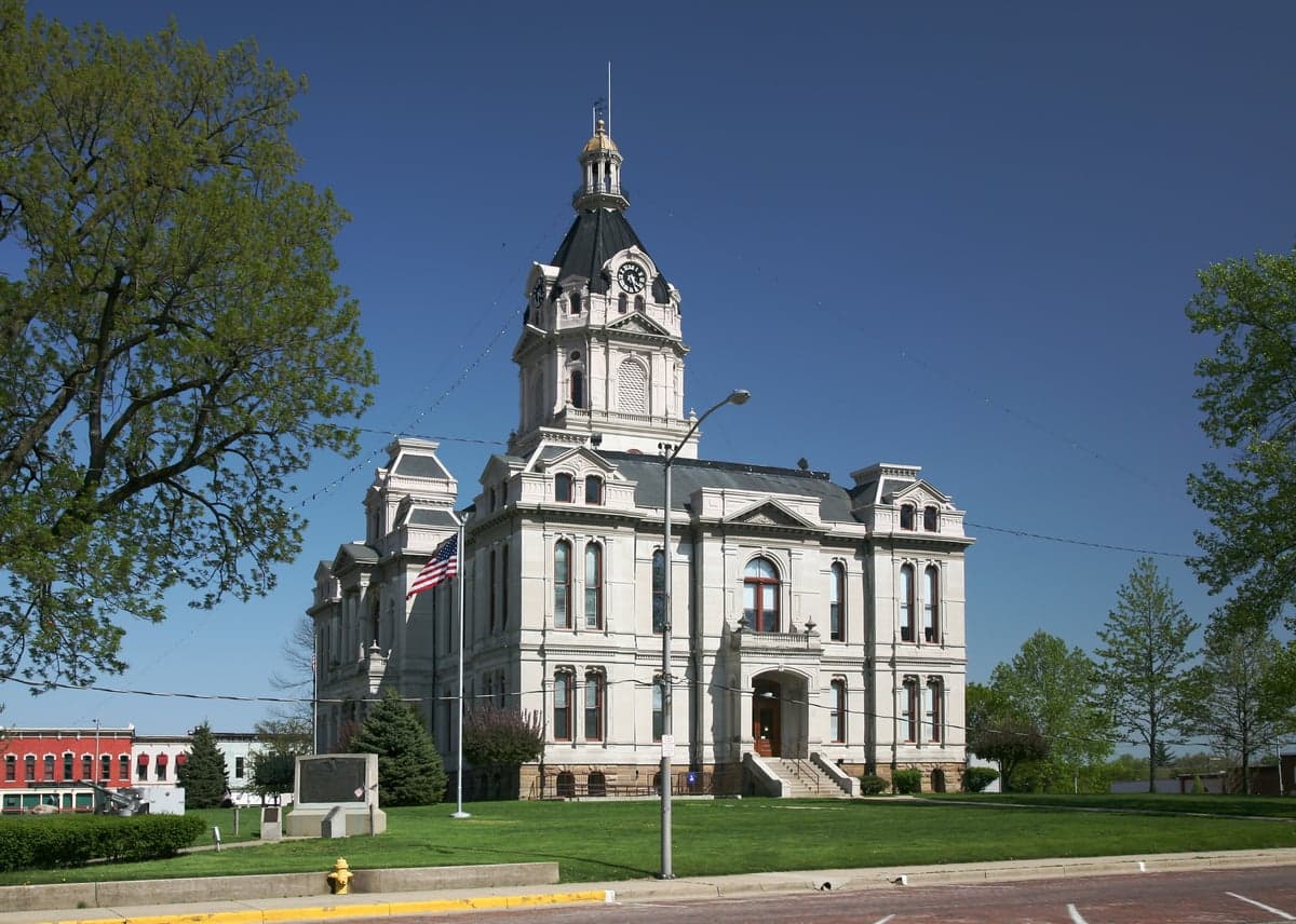
Photo: Wikipedia
Strategic Assessment of Parke County
Workable tactical position. Some exposure to population density or targets, but generally defensible in a crisis.
What does the Strategic Assessment tell us?
Our Strategic Assessment grades tactical survivability of an area. Major population centers, military targets, fallout zones, natural disasters, and border exposure all drive risk — lower exposure means a more defensible position in a crisis.
This is heavily inspired by Joel Skousen's Strategic Relocation book. Highly recommended you checkout the book ($)What does this tell us?
Our Strategic Assessment grades tactical survivability of an area. Major population centers, military targets, fallout zones, natural disasters, and border exposure all drive risk — lower exposure means a more defensible position in a crisis.
This is heavily inspired by Joel Skousen's Strategic Relocation book. Highly recommended you checkout the book ($)Strategic Pillars

Key Distances
Strategic Assessment Analysis
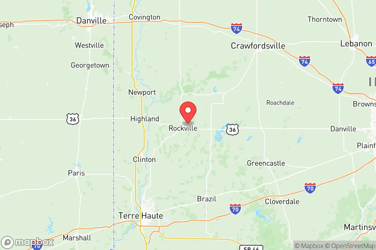
Parke County, Indiana, offers a compelling strategic profile for relocation-minded individuals and families who prioritize resilience and self-sufficiency, largely due to its position in the rural Wabash River Valley and its distance from major metropolitan fallout zones. Located roughly 60 miles west of Indianapolis and 30 miles north of Terre Haute, the county sits in a zone that is far enough from primary targets—like the Indianapolis metropolitan area, the Crane Naval Surface Warfare Center, and the Louisville/Jefferson County metro—to avoid direct blast or thermal effects from a major event, yet close enough to regional supply chains for practical resupply. The county’s 2020 population of roughly 16,500 people, spread across 445 square miles, means low population density and minimal congestion, which are foundational advantages for any long-term resilience plan. The area’s economic anchor is agriculture and light manufacturing, not heavy industry or military infrastructure, which reduces its attractiveness as a target while maintaining a functional local economy.
Geographic position and natural advantages for long-term security
Parke County’s geography is defined by the Wabash River, which forms its western border, and the rugged, forested terrain of the Sugar Creek Valley—features that offer both defensive and resource advantages. The county sits on the eastern edge of the Illinois Basin, a region with relatively stable geology and no significant seismic or volcanic risks, unlike areas near the New Madrid Seismic Zone further southwest. The rolling hills and deep ravines, particularly around the 2,000-acre Turkey Run State Park and the Shades State Park, provide natural cover and defensible positions, with limited road access points that could be controlled if needed. The county’s position in the central Indiana agricultural belt means it is surrounded by productive farmland—corn, soybeans, and hay—within a 20-mile radius of the county seat of Rockville. This agricultural base, combined with the Wabash River’s water flow (average discharge of 10,000 cubic feet per second at the Montezuma gauge), ensures that food and water resources are locally abundant and not dependent on long-distance supply chains. The area’s elevation, ranging from 500 to 800 feet above sea level, places it above floodplains for most of the county, though low-lying areas near the river in Montezuma and Marshall do face periodic flooding—a manageable risk with proper site selection.
Risks, exposures, and proximity to fallout-relevant landmarks
The primary man-made risk for Parke County is its proximity to the Crane Naval Surface Warfare Center, located about 25 miles south in Martin County. Crane is a major Department of Defense installation that handles weapons systems, electronics, and ordnance—making it a plausible secondary target in a conflict scenario. While a direct strike on Crane would likely not produce fallout that reaches Parke County (prevailing winds are westerly), the facility’s presence does increase the risk of military traffic, emergency response diversion, and potential secondary hazards like fires or chemical releases. The county is also roughly 70 miles from the Indianapolis International Airport and the city’s urban core, which are primary targets in any major conflict. Fallout from a ground burst on Indianapolis would be carried by prevailing westerly winds away from Parke County, but a shift in wind direction could pose a moderate risk. The county has no nuclear power plants within 50 miles—the closest is the Edwin I. Hatch Nuclear Plant in Georgia, far outside range—and no major refineries or chemical plants. The nearest refinery is the Marathon Petroleum refinery in Robinson, Illinois, about 40 miles west, which is a plausible target but not within Parke County’s immediate fallout zone. Natural risks are limited: tornadoes are a seasonal concern (the county averages 1-2 tornado warnings per year), and the area is not prone to wildfires, landslides, or hurricanes. The primary exposure for a relocator is the county’s reliance on a single major highway—US 41—for north-south travel, which could become a chokepoint during an evacuation or crisis.
Practical resilience for a relocator: food, water, energy, and defensibility
For a relocator focused on self-sufficiency, Parke County offers strong fundamentals in food, water, and energy, though defensibility requires careful property selection. The county’s agricultural output is substantial: over 80% of the land is farmland, with local producers like Parke County Farm Bureau and the Rockville Farmers Market providing direct access to fresh produce, meat, and dairy. The Wabash River and Sugar Creek offer reliable surface water, and groundwater is accessible via wells at depths of 50-150 feet in most areas, with yields averaging 10-20 gallons per minute. The county is served by Duke Energy for electricity, but the grid is rural and prone to outages during storms—an advantage for those with solar or backup generation, as it reduces the likelihood of prolonged grid failure. Natural gas is available in Rockville and Montezuma, but many rural properties rely on propane or heating oil, which requires storage and resupply planning. Defensibility varies by location: properties in the hilly, wooded areas near Bloomingdale or Rosedale offer natural cover and limited access, while those in the open farmland near Marshall are more exposed. The county’s low crime rate (violent crime is roughly 1.5 per 1,000 residents, well below the national average) means that day-to-day security is less of a concern, but a relocator should still prioritize properties with good sightlines, multiple water sources, and access to secondary roads that bypass US 41. The local government is small and responsive—the Parke County Sheriff’s Office has about 15 deputies—so community-based mutual aid networks are more practical than relying on formal emergency services.
Overall, Parke County presents a balanced strategic picture for a relocator who values resilience without the extreme isolation of more remote areas. Its distance from primary targets like Indianapolis and Crane, combined with abundant local food and water, makes it a strong candidate for a long-term self-sufficiency plan. The county’s weaknesses—moderate tornado risk, reliance on a single major highway, and proximity to a secondary military target—are manageable with proper site selection and preparation. For a family or individual willing to invest in well water, solar power, and a defensible property in the county’s wooded hills, Parke County offers a realistic and sustainable base for disaster readiness that avoids the vulnerabilities of both urban centers and overly remote locations. The key is to choose a property in the eastern or southern parts of the county, away from the Wabash floodplain and closer to the natural cover of the Sugar Creek Valley, where the combination of agricultural self-sufficiency and geographic defensibility is strongest.

* Values derived from national, state, county, city and local statistics and may differ in a specific area. Last updated: 2026-10-21T00:42:40.000Z
Narrative content on this page is AI-generated and may contain mistakes. Verify any details that matter before acting on them.
ReloMaps may earn a commission from affiliate links at no extra cost to you.

