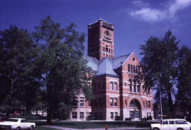
Photo: Wikipedia
Strategic Assessment of Noble County
Workable tactical position. Some exposure to population density or targets, but generally defensible in a crisis.
What does the Strategic Assessment tell us?
Our Strategic Assessment grades tactical survivability of an area. Major population centers, military targets, fallout zones, natural disasters, and border exposure all drive risk — lower exposure means a more defensible position in a crisis.
This is heavily inspired by Joel Skousen's Strategic Relocation book. Highly recommended you checkout the book ($)What does this tell us?
Our Strategic Assessment grades tactical survivability of an area. Major population centers, military targets, fallout zones, natural disasters, and border exposure all drive risk — lower exposure means a more defensible position in a crisis.
This is heavily inspired by Joel Skousen's Strategic Relocation book. Highly recommended you checkout the book ($)Strategic Pillars

Key Distances
Strategic Assessment Analysis
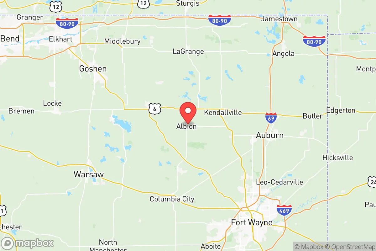
Noble County, Indiana, offers a compelling mix of Midwestern stability and strategic depth for those prioritizing resilience and self-sufficiency. Located in the northeastern part of the state, roughly 35 miles west of the Ohio border and 40 miles north of Fort Wayne, the county provides a buffer from major metropolitan fallout zones while maintaining access to essential infrastructure. Its population of around 47,000 is spread across small towns like Albion, Kendallville, Ligonier, and Rome City, creating a low-density environment that is inherently more defensible and less reliant on fragile supply chains than suburban or urban alternatives.
Geographic position and natural advantages for long-term stability
Noble County sits within the Great Lakes region, a zone historically insulated from the most severe impacts of coastal sea-level rise, hurricane storm surge, and seismic activity. The area’s topography is gently rolling, with elevations around 900 to 1,000 feet above sea level, which provides natural drainage and reduces flood risk compared to river-bottom communities. The county is part of the larger St. Joseph River watershed, with numerous lakes—including Lake James, Sylvan Lake, and the Chain O' Lakes—offering abundant freshwater resources. These lakes are not just recreational amenities; they represent a distributed water supply that is less vulnerable to a single point of failure than a municipal reservoir. The region’s agricultural soil is predominantly prime farmland, classified as Miami and Crosby silt loams, which support corn, soybeans, and hay—crops that can sustain both livestock and human populations in a prolonged disruption. The climate is continental, with cold winters that naturally suppress many vector-borne diseases, but also with reliable rainfall averaging 35–40 inches annually, reducing the risk of prolonged drought that plagues western states.
Risks, exposures, and proximity to fallout-relevant landmarks
While Noble County avoids the highest-risk zones, it is not without exposure. The most significant man-made risk comes from its proximity to Fort Wayne International Airport (about 40 miles south) and the Defense Finance and Accounting Service (DFAS) facility in Fort Wayne, which could be secondary targets in a major conflict. More directly, the county lies within 100 miles of the Palos Verdes nuclear generating station in Michigan (roughly 90 miles northwest) and the Cook Nuclear Plant in Bridgman, Michigan (about 85 miles northwest). While these are not immediate blast zones, a catastrophic failure or attack could produce a plume that would affect Noble County depending on wind patterns. The county also sits near the Norfolk Southern rail line that runs through Kendallville, which carries hazardous materials—a derailment risk that has materialized in other parts of the Midwest. On the natural hazard side, the area is in a low-to-moderate seismic zone, but the Wabash Valley Seismic Zone to the southwest has produced historical quakes up to magnitude 5.4, and the New Madrid Seismic Zone (about 350 miles southwest) could generate shaking that affects older brick structures in Albion and Ligonier. Tornado risk is real but not extreme; Noble County averages 2–3 tornado warnings per year, with the most recent significant event being an EF-2 that struck near Rome City in 2018. The county’s dispersed population and lack of dense urban infrastructure actually reduce the casualty potential from such events compared to a city like Fort Wayne.
Practical resilience for a relocator: food, water, energy, and defensibility
For someone serious about self-sufficiency, Noble County offers several structural advantages. Food production is the strongest pillar: the county has over 1,200 farms, with many small-scale operations selling directly at the Kendallville Farmers Market and through community-supported agriculture (CSA) programs. The Noble County Soil and Water Conservation District actively promotes permaculture and rotational grazing, and there is a growing network of homesteaders around Brimfield and Merriam. Deer and turkey are abundant for hunting, and the lakes provide year-round fishing for walleye, bluegill, and bass. Water security is excellent: the county’s glacial aquifers are shallow and recharge quickly, and many rural properties have existing wells. For those on municipal water, the Kendallville Water Utility draws from the St. Joseph River, but a backup well or rainwater catchment system is straightforward to install given the average 40 inches of annual precipitation. Energy resilience is more mixed. The county is served by Noble REMC, a rural electric cooperative that has invested in grid hardening, but the area is still vulnerable to ice storms that can knock out power for days—the 2008 ice storm left parts of the county without electricity for up to two weeks. Solar is viable, with roughly 4.5 peak sun hours per day, but battery storage is essential for winter months. Wood heating is common and practical, with ample hardwood forests in the northern part of the county. Defensibility is a key advantage: the county’s road network is sparse enough that choke points exist at the few bridges over the Elkhart River and at the intersections of State Roads 3, 5, and 8. The Noble County Sheriff’s Office has a strong community policing model, and the county’s low crime rate (violent crime is about 60% below the national average) means that a well-prepared household is unlikely to face organized threats in a short-term crisis. However, the county’s proximity to the Indiana Toll Road (I-80/I-90) about 20 miles north means that a major urban evacuation from Chicago or Detroit could funnel refugees through the area, which is a realistic concern for long-term grid-down scenarios.
The overall strategic picture for Noble County is one of balanced resilience with manageable trade-offs. It offers excellent freshwater access, productive soil, and a low-density population that naturally supports self-reliance. The primary risks are man-made—proximity to nuclear plants and rail lines—rather than natural, and these can be mitigated with situational awareness and a well-stocked shelter. For a relocator who values Albion’s quiet county seat or Kendallville’s small-town infrastructure, the area provides a realistic foundation for a prepared lifestyle without the extreme isolation of more remote regions. The key is to secure a property with a well, a wood stove, and enough land for a garden—and to stay informed about the rail traffic through the county. Noble County is not a fortress, but it is a solid, defensible position in a region that has historically weathered disruptions with quiet competence.

* Values derived from national, state, county, city and local statistics and may differ in a specific area. Last updated: 2026-10-22T15:34:04.000Z
Narrative content on this page is AI-generated and may contain mistakes. Verify any details that matter before acting on them.
ReloMaps may earn a commission from affiliate links at no extra cost to you.

