
Photo: Wikipedia
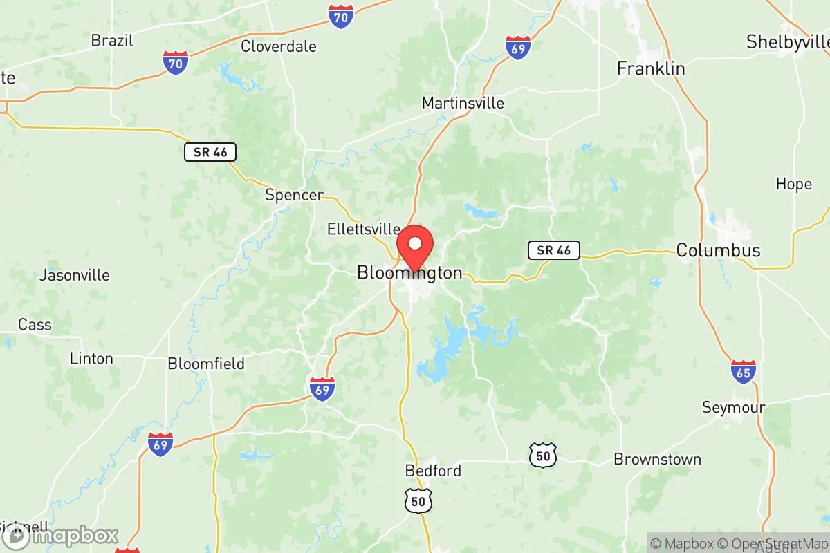
Strategic Assessment of Monroe County
Meaningful friction. Expect exposure to either population pressure, blast zones, or natural disaster risk. Consider buying a retreat property.
What does the Strategic Assessment tell us?
Our Strategic Assessment grades tactical survivability of an area. Major population centers, military targets, fallout zones, natural disasters, and border exposure all drive risk — lower exposure means a more defensible position in a crisis.
This is heavily inspired by Joel Skousen's Strategic Relocation book. Highly recommended you checkout the book ($)What does this tell us?
Our Strategic Assessment grades tactical survivability of an area. Major population centers, military targets, fallout zones, natural disasters, and border exposure all drive risk — lower exposure means a more defensible position in a crisis.
This is heavily inspired by Joel Skousen's Strategic Relocation book. Highly recommended you checkout the book ($)Strategic Pillars

Key Distances
Strategic Assessment Analysis
Monroe County, Indiana, anchored by Bloomington, offers a strategic balance of rural access and institutional stability that appeals to relocation-minded individuals and families with an eye toward resilience. Situated roughly 50 miles southwest of Indianapolis and 80 miles northwest of Louisville, the county sits outside the immediate blast and fallout zones of major metropolitan targets while still providing access to supply chains and healthcare networks. The presence of Indiana University provides economic ballast, but the county's rolling hills, limestone bedrock, and dispersed population pattern create a defensible geography that is increasingly rare in the Midwest.
Geographic position and natural advantages for long-term stability
Monroe County's terrain is defined by the Mitchell Plateau and the Norman Upland, characterized by steep ridges, forested hollows, and karst topography with numerous sinkholes and caves. This irregular landscape naturally limits large-scale development and concentrates population in the Bloomington corridor, leaving the outlying towns of Ellettsville, Stinesville, and Harrodsburg as low-density nodes with good separation. The county's elevation ranges from roughly 500 to 900 feet above sea level, providing natural drainage and reducing flood risk compared to bottomland areas along the Wabash or Ohio Rivers. Lake Monroe, the largest inland lake in Indiana at over 10,000 acres, sits immediately southeast of Bloomington and serves as a critical water reserve. The surrounding Hoosier National Forest, which covers portions of southern Monroe County and adjacent counties, adds a buffer of public land that limits encroachment and provides potential foraging, timber, and game resources. The limestone bedrock, extensively quarried in the region, offers natural filtration for groundwater and has historically supported a robust local stone industry — useful knowledge for anyone considering well drilling or structural reinforcement.
Risk exposure and proximity to fallout-relevant landmarks
While Monroe County avoids the highest-risk zones, it is not without exposure. The most significant man-made risk comes from the Marathon Petroleum refinery in Robinson, Illinois, roughly 100 miles west-southwest, and the Indianapolis metropolitan area, which contains multiple chemical plants, rail yards, and the Indianapolis International Airport — a potential secondary target. Prevailing winds in southern Indiana run west to east, meaning a release from the Robinson refinery would likely track away from Monroe County, but a strike on Indianapolis (50 miles northeast) could push fallout southwest depending on seasonal wind shifts. The county also lies within 120 miles of the Naval Surface Warfare Center Crane Division in Martin County, a major Navy installation that stores and processes ordnance, electronics, and strategic materials. While Crane itself is a hardened facility, any incident there could affect downwind areas. Natural risks are moderate: the region sits in a low-seismicity zone, though the Wabash Valley Seismic Zone to the west produces occasional minor tremors. Tornado risk is real but not extreme — Monroe County averages 1-2 tornado warnings per year, typically EF0-EF1, with the last significant event (an EF2) occurring in 2012 near Ellettsville. Flooding is localized, primarily along Clear Creek and the East Fork of the White River, and rarely affects elevated areas.
Practical resilience for relocators: food, water, energy, and defensibility
For a family or individual serious about self-sufficiency, Monroe County offers several structural advantages. Water availability is strong: Lake Monroe supplies the Bloomington area, but rural properties commonly rely on private wells drawing from the karst aquifer, which yields moderate-to-good flow rates (typically 5-20 gallons per minute) at depths of 100-300 feet. The limestone geology means well water often requires minimal treatment, though periodic testing for bacteria and nitrates is advisable. Food production potential is above average for the Midwest: the county has a long growing season (roughly 170 frost-free days), decent soils in the valleys and bottomlands, and a strong local food culture supported by the Bloomington Farmers' Market and multiple CSAs. Outlying areas around Unionville and Smithville have larger parcel sizes (5-40 acres common) suitable for market gardens, orchards, or small livestock operations. Deer and turkey are abundant in the national forest for supplemental protein. Energy resilience is mixed: Duke Energy provides grid power, but outages are infrequent (typically 1-3 per year, mostly weather-related). Solar potential is moderate — the region receives about 4.2 peak sun hours per day, workable but not ideal for full off-grid reliance. Wood heating is viable given the forest cover, and many rural homes already have wood stoves or fireplace inserts. Defensibility is aided by the terrain: the ridge-and-hollow structure creates natural chokepoints on the few paved roads entering the county from the south and west. State Road 46, State Road 37 (soon to be I-69), and State Road 45 are the primary arteries; secondary roads like Old State Road 37 and Bottom Road offer alternative routes that are easily monitored. The population density outside Bloomington is under 50 people per square mile, providing good operational security for a prepared household.
The overall strategic picture for Monroe County is one of moderate-to-high resilience with manageable trade-offs. Its distance from primary target zones, combined with abundant water, productive land, and defensible geography, makes it a strong candidate for a relocation focused on long-term stability. The main liabilities are the moderate proximity to Indianapolis and the Crane naval installation, which introduce some fallout risk under specific wind scenarios, and the county's reliance on a single major employer (Indiana University) for economic stability. For a conservative-leaning relocator who values self-sufficiency, community independence, and access to both wild land and institutional resources, Monroe County represents a balanced option — not the most hardened location in the Midwest, but one where a prepared family can realistically achieve a high degree of autonomy without complete isolation.

* Values derived from national, state, county, city and local statistics and may differ in a specific area. Last updated: 2026-06-17T18:22:13.000Z
Narrative content on this page is AI-generated and may contain mistakes. Verify any details that matter before acting on them.
ReloMaps may earn a commission from affiliate links at no extra cost to you.

