
Photo: Wikipedia
Strategic Assessment of Miami County
Meaningful friction. Expect exposure to either population pressure, blast zones, or natural disaster risk. Consider buying a retreat property.
What does the Strategic Assessment tell us?
Our Strategic Assessment grades tactical survivability of an area. Major population centers, military targets, fallout zones, natural disasters, and border exposure all drive risk — lower exposure means a more defensible position in a crisis.
This is heavily inspired by Joel Skousen's Strategic Relocation book. Highly recommended you checkout the book ($)What does this tell us?
Our Strategic Assessment grades tactical survivability of an area. Major population centers, military targets, fallout zones, natural disasters, and border exposure all drive risk — lower exposure means a more defensible position in a crisis.
This is heavily inspired by Joel Skousen's Strategic Relocation book. Highly recommended you checkout the book ($)Strategic Pillars

Key Distances
Strategic Assessment Analysis
Miami County, Indiana, offers a compelling mix of Midwestern stability and strategic depth for the relocation-minded reader prioritizing resilience and self-sufficiency. Its position along the Wabash River, combined with a low population density and distance from major metropolitan targets, provides a solid baseline for disaster preparedness, though it is not without its own set of regional exposures. This assessment weighs the county's geographic advantages against its proximity to man-made risks, then evaluates the practical nuts-and-bolts of daily life for someone serious about long-term readiness.
Geographic position and natural advantages for long-term stability
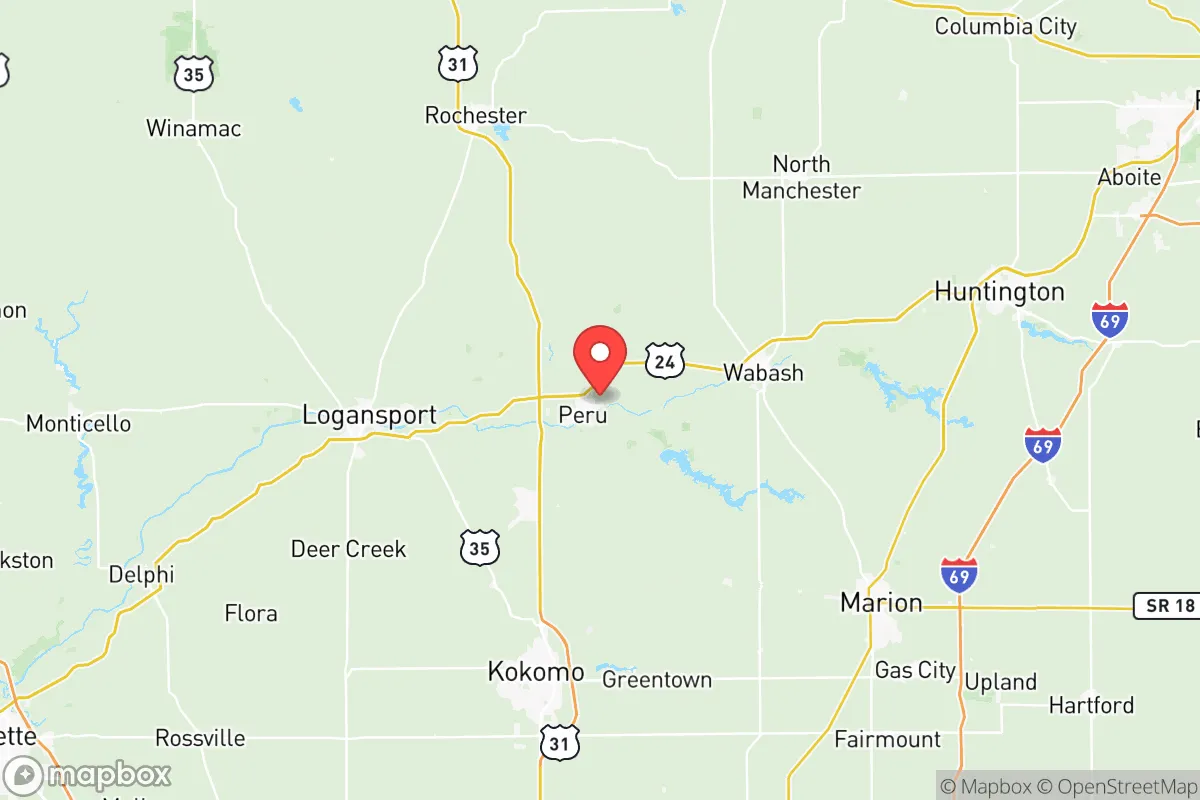
Miami County sits in north-central Indiana, roughly 70 miles north of Indianapolis and 40 miles south of South Bend. This puts it comfortably outside the blast radius and immediate fallout zones of any major city, while still being within a two-hour drive of urban resources. The county seat, Peru, anchors the area along the Wabash River, which provides a reliable water source and a natural corridor for wildlife and movement. The terrain is mostly flat to gently rolling farmland, which is excellent for agriculture but offers limited natural defensibility in a tactical sense. The county's position in the Central Time Zone and its distance from both the Great Lakes shoreline and the Ohio River valley reduce exposure to lake-effect snow extremes and major floodplain risks, though the Wabash itself can flood in heavy rain events. The area's agricultural base—corn, soybeans, and livestock—means that local food production is a genuine asset, not just a theoretical one. For a relocator, this translates to a region where the land can actually support a household, with decent soil quality and a growing season long enough for a substantial garden.
Risks, exposures, and proximity to fallout-relevant landmarks
No strategic assessment is honest without naming the real threats. Miami County's most significant man-made risk comes from its proximity to Grissom Air Reserve Base, located just south of Peru. While Grissom is not a major strategic nuclear target like an ICBM field or a fleet ballistic missile submarine base, it does host KC-135 tanker aircraft and is a designated backup landing site for Air Force One. In a major conflict, it could draw a conventional or limited nuclear strike, with fallout potentially drifting over the county depending on wind direction. Additionally, the county lies within roughly 100 miles of the Michigan City area and the Burns Harbor industrial complex on Lake Michigan, which includes a major steel mill and a deep-water port. A strike on either of those could produce significant fallout that might reach Miami County under certain weather patterns. On the natural disaster front, the area is not prone to hurricanes, earthquakes, or wildfires, but severe thunderstorms and tornadoes are a real seasonal hazard. The county has seen its share of EF-2 and EF-3 tornadoes, and the flat terrain offers little natural shelter from straight-line winds. Flooding along the Wabash and its tributaries, particularly around Bunker Hill and Converse, is a periodic concern that should factor into any property selection. The Marion area to the southeast also hosts a federal prison, which is a low-probability but non-zero security consideration for those seeking complete isolation.
Practical resilience for a relocator: food, water, energy, and defensibility
For someone serious about self-sufficiency, Miami County offers a mixed but workable picture. Water is the strongest asset: the Wabash River is a perennial, reliable source, and the county's groundwater is generally good, with many rural properties already on private wells. A well with a hand pump or a solar-powered backup is a realistic upgrade here. Food is also a clear advantage. The county is surrounded by working farms, and the Peru Farmers Market and local CSAs provide immediate access to fresh produce. The soil is fertile, and a household with a half-acre garden can realistically produce a significant portion of its own vegetables. Livestock is common, and deer hunting is productive in the wooded areas along the river. Energy is more of a vulnerability. The county's grid is served by Duke Energy and local cooperatives, and outages from storms are not rare. Solar is viable—the region gets about 180 sunny days per year, which is average for the Midwest—but winter cloud cover can stretch a battery bank. Wood heating is a practical backup, as firewood is abundant and relatively cheap. Defensibility is the weakest link. The terrain offers no high ground, no natural chokepoints, and no dense forests for concealment. A rural property with a long driveway and good sightlines is about the best you can do. The county's population is around 36,000, with Peru being the largest town at roughly 11,000. This means neighbors are present but not dense, and a well-chosen property on a dead-end road can offer reasonable privacy. The local law enforcement presence is thin in the rural areas, so self-reliance is a given, not an option.
The overall strategic picture for Miami County is one of moderate resilience with clear trade-offs. It is not a hardened survivalist redoubt, nor is it a high-risk zone. It is a solid, unglamorous agricultural county where a prepared household can thrive with reasonable effort. The proximity to Grissom Air Reserve Base is the single greatest wildcard, but for most plausible scenarios, the county's distance from major cities and industrial targets makes it a safer bet than suburban Indianapolis or the Lake Michigan shoreline. The combination of abundant water, fertile soil, and a low-key community makes it a practical choice for someone who wants to be ready without living in a bunker. If you are looking for a place where you can dig a well, plant a garden, and keep a low profile while still being within a few hours of urban resources, Miami County deserves a serious look. Just buy a good tornado shelter and keep an eye on the wind direction from Grissom.

* Values derived from national, state, county, city and local statistics and may differ in a specific area. Last updated: 2026-08-19T02:22:50.000Z
Narrative content on this page is AI-generated and may contain mistakes. Verify any details that matter before acting on them.
ReloMaps may earn a commission from affiliate links at no extra cost to you.

