
Photo: Wikipedia
Strategic Assessment of Madison County
Meaningful friction. Expect exposure to either population pressure, blast zones, or natural disaster risk. Consider buying a retreat property.
What does the Strategic Assessment tell us?
Our Strategic Assessment grades tactical survivability of an area. Major population centers, military targets, fallout zones, natural disasters, and border exposure all drive risk — lower exposure means a more defensible position in a crisis.
This is heavily inspired by Joel Skousen's Strategic Relocation book. Highly recommended you checkout the book ($)What does this tell us?
Our Strategic Assessment grades tactical survivability of an area. Major population centers, military targets, fallout zones, natural disasters, and border exposure all drive risk — lower exposure means a more defensible position in a crisis.
This is heavily inspired by Joel Skousen's Strategic Relocation book. Highly recommended you checkout the book ($)Strategic Pillars

Key Distances
Strategic Assessment Analysis
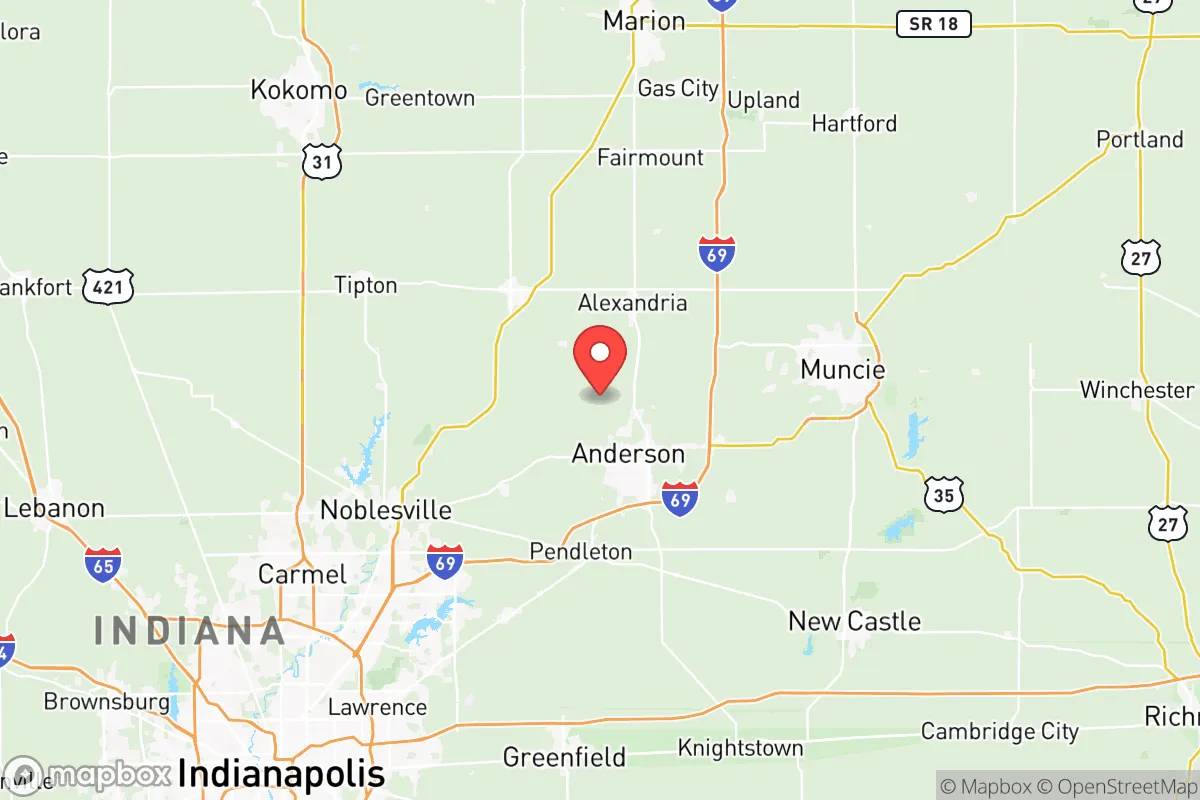
Madison County, Indiana, offers a compelling mix of Midwestern stability and strategic positioning for those prioritizing resilience and self-sufficiency. Anchored by the city of Anderson and stretching north to the outskirts of Muncie, the county sits in a sweet spot: far enough from the major population centers of Indianapolis (about 45 minutes south) to avoid the worst of urban chaos, yet close enough to access critical supplies and medical infrastructure. The area’s industrial past, particularly in automotive manufacturing, has left behind a robust transportation network and a workforce accustomed to hands-on problem-solving—both assets for a relocator thinking about long-term preparedness.
Geographic position and natural advantages for long-term security
Madison County’s location in east-central Indiana places it within the relatively stable climate zone of the Midwest, away from hurricane-prone coasts, major earthquake fault lines, and the wildfire corridors of the West. The terrain is gently rolling, with the White River cutting through the county from northeast to southwest, providing a natural water source and fertile bottomlands. The county is roughly 70% agricultural or wooded, meaning ample space for private gardens, small-scale livestock, and rainwater catchment. The town of Pendleton, in particular, sits on higher ground along the river bluffs, offering a degree of natural defensibility and flood avoidance compared to low-lying areas near the river. For a relocator, the key advantage is the sheer amount of undeveloped land—parcels in rural areas like Frankton or Orestes can be had for a fraction of suburban prices, allowing for the kind of space needed for off-grid infrastructure like solar panels, well water, and root cellars.
Risks, exposures, and proximity to fallout-relevant landmarks
No strategic assessment is complete without a hard look at vulnerabilities. Madison County’s primary man-made risk comes from its proximity to the Indianapolis metropolitan area and its associated infrastructure. While the county itself has no major military bases, nuclear power plants, or large-scale chemical refineries, it sits within the fallout shadow of several potential targets. The most concerning is the Indianapolis International Airport and the adjacent FedEx hub—a major logistics node that would be a high-value target in any conflict. Additionally, the BP Whiting Refinery in northwest Indiana, roughly 150 miles away, is one of the largest refineries in the Midwest; prevailing winds from the west-northwest could carry fallout or chemical plumes toward Madison County in a worst-case scenario. On the natural disaster front, the area is not immune to tornadoes—Indiana sits in the heart of Tornado Alley’s eastern extension. The 2011 Super Outbreak produced an EF4 tornado that struck Pendleton directly, killing two and leveling homes. Flooding along the White River is a recurring issue, particularly in low-lying areas of Anderson and near the county’s southern border. For the relocator, the takeaway is that Madison County is not a zero-risk zone, but its risks are primarily weather-related and manageable with proper preparation—unlike the cascading failures possible in coastal or refinery-heavy regions.
Practical resilience for a relocator: food, water, energy, and defensibility
For someone serious about self-sufficiency, Madison County delivers on the basics. Water access is excellent: the White River and its tributaries provide surface water, and the county’s glacial till aquifers mean that most rural properties can support a drilled well at reasonable depths (typically 50–150 feet). The county’s agricultural heritage means that local food production is viable—the growing season runs roughly April through October, and the soil is rich loam, ideal for vegetables, grains, and pasture. Farmers’ markets in Anderson, Pendleton, and Elwood operate through the summer, and bulk food co-ops in Muncie and Indianapolis are within an hour’s drive. For energy, the county is served by Indiana Michigan Power, but grid reliability is average; winter ice storms can cause multi-day outages in rural areas. Solar potential is moderate—Indiana gets about 4.2 peak sun hours per day—but enough for a well-designed off-grid system with battery backup. Propane and wood heating are common in rural homes, and firewood is abundant from the county’s hardwood forests. Defensibility is a mixed bag: the open farmland offers long sightlines but little cover, while the wooded river valleys provide concealment but limited escape routes. The town of Chesterfield, with its small population and single main road, exemplifies the trade-off—easy to monitor approaches but hard to evacuate quickly. Overall, Madison County offers a solid foundation for a prepared relocator, provided they invest in backup power, a reliable well, and a plan for tornado sheltering.
The strategic picture for Madison County is one of balanced trade-offs. It lacks the extreme isolation of a mountain redoubt or the immediate resources of a coastal hub, but it offers something arguably more valuable for a family or individual: a sustainable, low-profile lifestyle in a community that still values neighborly self-reliance. The county’s industrial legacy means there are skilled tradespeople and mechanics in every township, and the local government in Anderson and Pendleton has shown a pragmatic, conservative bent that keeps taxes moderate and regulations light. For the relocator who wants to be prepared without living in a bunker, Madison County provides a realistic middle ground—close enough to civilization to matter, far enough to breathe.

* Values derived from national, state, county, city and local statistics and may differ in a specific area. Last updated: 2026-07-03T23:54:40.000Z
Narrative content on this page is AI-generated and may contain mistakes. Verify any details that matter before acting on them.
ReloMaps may earn a commission from affiliate links at no extra cost to you.

