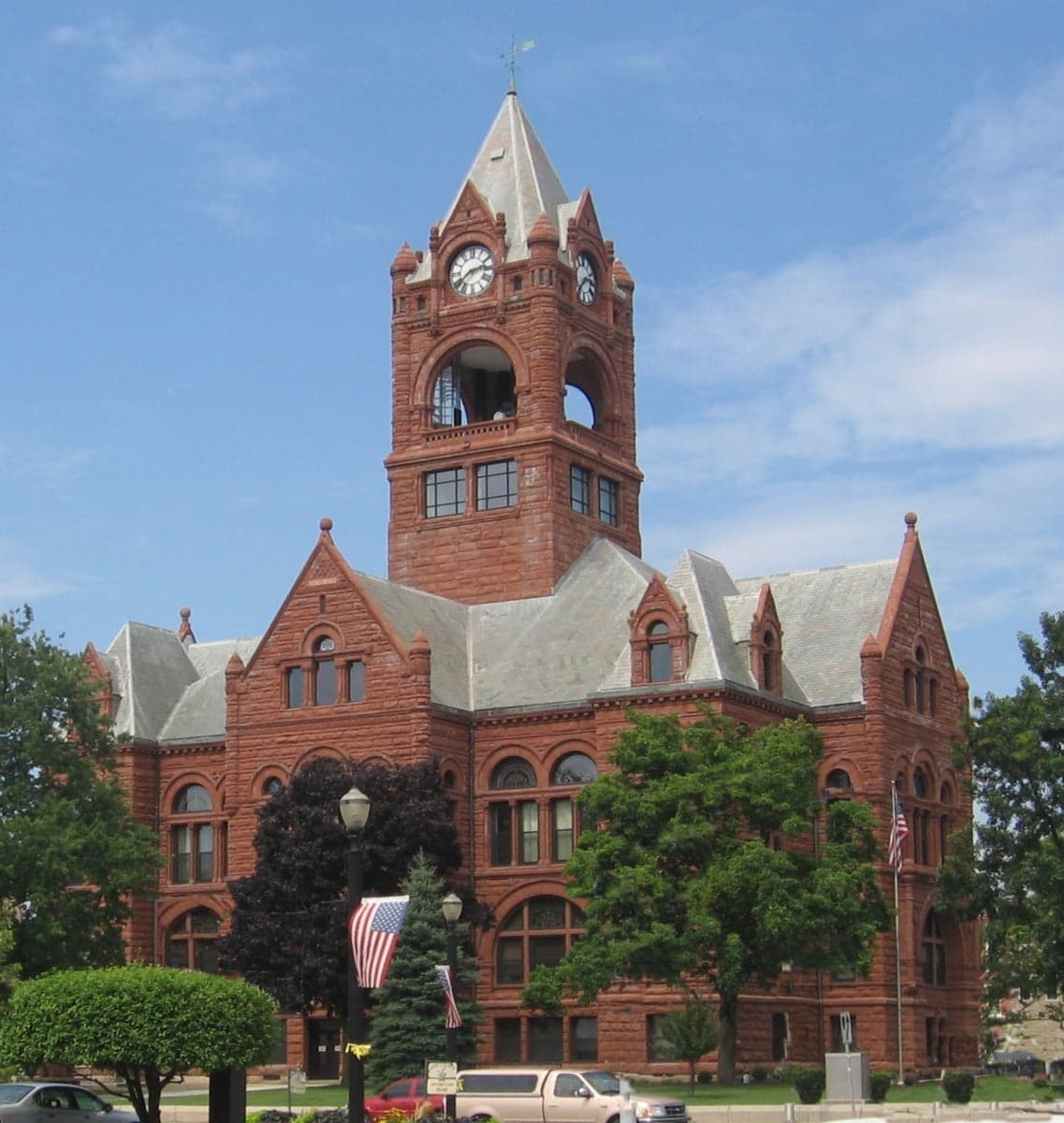
Photo: Wikipedia
Strategic Assessment of Laporte County
Meaningful friction. Expect exposure to either population pressure, blast zones, or natural disaster risk. Consider buying a retreat property.
What does the Strategic Assessment tell us?
Our Strategic Assessment grades tactical survivability of an area. Major population centers, military targets, fallout zones, natural disasters, and border exposure all drive risk — lower exposure means a more defensible position in a crisis.
This is heavily inspired by Joel Skousen's Strategic Relocation book. Highly recommended you checkout the book ($)What does this tell us?
Our Strategic Assessment grades tactical survivability of an area. Major population centers, military targets, fallout zones, natural disasters, and border exposure all drive risk — lower exposure means a more defensible position in a crisis.
This is heavily inspired by Joel Skousen's Strategic Relocation book. Highly recommended you checkout the book ($)Strategic Pillars

Key Distances
Strategic Assessment Analysis
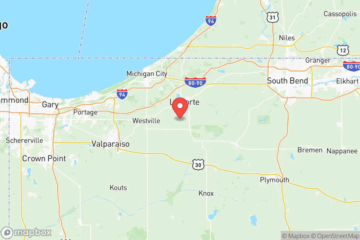
Laporte County, Indiana, offers a strategic combination of Midwestern stability, agricultural resources, and proximity to Lake Michigan that makes it a compelling option for relocation-minded individuals and families prioritizing long-term resilience and self-sufficiency. Located about 60 miles east of Chicago and 35 miles west of South Bend, the county strikes a balance—close enough to access urban resources but far enough to avoid the direct fallout risks, congestion, and supply chain vulnerabilities of major metropolitan centers. With a population of roughly 112,000, the county seat of Laporte and the city of Michigan City serve as the twin anchors, providing essential services, healthcare, and employment without the density that amplifies both natural and man-made risks. The region’s economic base combines light manufacturing, agriculture, and a growing logistics sector, supported by the deep-water Port of Indiana-Burns Harbor and major rail lines. For a reader serious about disaster readiness and self-sufficiency, Laporte County presents a defensible, resource-rich location with manageable exposure to both natural hazards and human-caused disruptions.
Geographic position and natural buffer advantages for disaster resilience
Laporte County’s geography provides a natural defensive perimeter that is rare in the industrial Midwest. The county sits on the southern shore of Lake Michigan, with the Indiana Dunes National Park creating a protected, low-density buffer zone along the lakeshore. This lake access delivers two critical resilience advantages: a virtually unlimited freshwater source (Lake Michigan holds roughly 1,180 cubic miles of water) and a moderating effect on extreme temperatures, reducing the severity of both winter storms and summer heat waves compared to inland areas. The county’s terrain is primarily flat to gently rolling glacial till, with sandy loam soils in the north and heavier clay soils inland—soils that support diverse agriculture, from corn and soybeans to specialty crops like mint and blueberries. The Kankakee River and Trail Creek watersheds provide secondary freshwater sources and drainage capacity, reducing flood risk relative to more flood-prone areas like the Wabash Valley. That said, the county is not immune to natural hazards: lake-effect snow can dump 60-80 inches annually in the northern tier (especially around Michigan City), and tornadoes are a periodic threat, though the county’s average tornado density is below the Indiana state average. The absence of major fault lines and the relatively flat terrain minimize seismic and landslide risk. For the relocator, this translates to a location where water abundance, moderate climate, and arable land combine to support long-term habitation with fewer acute environmental shocks.
Exposure to man-made risks and proximity to critical infrastructure targets
The same proximity to Chicago that makes Laporte County economically viable also introduces exposure to fallout-relevant landmarks, though the county’s placement provides more buffer than most suburbs. Major risks within the county itself center on the Michigan City Generating Station, a coal-fired power plant that, while not nuclear, could be a target in a widespread conflict scenario. The Palos Hills nuclear facility (the closed but fuel-stored site near Chicago) and the Braidwood Generating Station (an active nuclear plant about 45 miles west of the county line) are within a theoretical fallout zone, though prevailing westerly winds would carry contamination away from Laporte County in most plausible scenarios. More proximate is the NIPSCO (Northern Indiana Public Service Company) natural gas storage facility near Laporte city—a potential industrial accident or sabotage point. The county also lies within 100 miles of the Joliet Army Ammunition Plant (decommissioned but with residual hazards) and the Gary Works steel mill, one of the largest industrial facilities in the region. For the resilience-focused reader, these risks are moderate—Laporte County is not a primary target zone, but its rail lines (the Norfolk Southern and CSX corridors) and highway networks (I-94 and US-20) could become evacuation or logistics chokepoints during a crisis. The working assumption for a strategic assessment is that Laporte County would face indirect disruptions—the failure of long-distance supply chains, emergency resource diversion to Chicago, and potential population displacement from the metro area—rather than direct kinetic threats. The county’s distance from the nuclear-armed Naval Support Activity Crane (southwest Indiana) and the Fort Wayne Air Guard base further reduces its target profile.
Practical resilience considerations for a relocator: food, water, energy, and defensibility
For the person serious about self-sufficiency, Laporte County delivers on the basics better than most suburban or exurban areas. Water security is the standout asset: the Lake Michigan shoreline provides virtually inexhaustible freshwater, and the county’s municipalities draw from deep bedrock aquifers and surface sources, with the Michigan City Water Department serving 32,000 residents and the Laporte Water Department covering 22,000. Many rural properties rely on private wells that draw from the Silurian aquifer, which is generally reliable at depths of 50-150 feet—though well permits require a minimum of 25 feet from septic systems, so pre-purchase water testing is essential. Food production potential is strong: the county has over 1,100 farms covering 150,000 acres, with the Kankakee River Valley offering some of Indiana’s richest topsoil. The presence of local grain elevators (e.g., the Laporte County Co-op and the Rolling Prairie facility) means bulk feed for livestock and grain for human consumption are obtainable, though the reliance on commodity hauling—largely to Chicago processors—means that local food storage infrastructure is underdeveloped. Energy resilience is moderate: the county is served by NIPSCO’s grid, which is primarily coal and natural gas, with limited renewable penetration (less than 5% of generation from solar and wind). Backup power is widely available via generators at farm supply stores and hardware retailers in Laporte city and Michigan City, but the fuel supply chain (gasoline and propane) is vulnerable to road disruptions. The county has no active community solar gardens or co-ops, though the Indiana Solar for All program offers incentives. Defensibility is mixed: the open, flat terrain of the southern portion offers little chokepoint defensibility, but the lakefront bluffs and wooded areas of the Indiana Dunes provide natural cover and escape routes via water if necessary. The county’s decentralized settlement pattern—with multiple small towns (LaCrosse, Wanatah, Kingsbury, and Kingsford Heights) spaced 5-10 miles apart—makes it harder to contain or control, a net positive for a relocator seeking to avoid high-density choke points. The local sheriffs (Laporte County Sheriff’s Office, population-served coverage) maintain a presence, but in a prolonged disruption scenario, community-scale organization would be more relevant than law enforcement presence.
The overall strategic picture for Laporte County is that of a middle-safety, high-viability location for the careful relocator. It avoids the worst exposure risks of the Chicago suburbs (density, infrastructure vulnerability, nuclear proximity) while retaining the resource base—especially water and farmland—that makes long-term survival and self-sufficiency feasible. The weaknesses are real but manageable: limited local energy resilience, dependence on regional supply chains for manufactured goods, and the potential for population pressure from Chicago in a crisis (the Lake Michigan shoreline would be a natural gathering point for evacuees). The strategic buyer should prioritize properties in the northern and western townships (New Durham, Pleasant, and Galena townships) where lake access is paired with lower population density and better defensibility, and avoid the I-94/I-90 corridors that would become chokepoints. For a person building a post-disruption household, Laporte County offers a realistic, defensible foundation—not a fortress, but a place with the water, soil, and distance to ride out most plausible scenarios without the extreme isolation of more remote options.

* Values derived from national, state, county, city and local statistics and may differ in a specific area. Last updated: 2026-06-29T01:09:44.000Z
Narrative content on this page is AI-generated and may contain mistakes. Verify any details that matter before acting on them.
ReloMaps may earn a commission from affiliate links at no extra cost to you.

