
Photo: Wikipedia
Strategic Assessment of Hendricks County
Meaningful friction. Expect exposure to either population pressure, blast zones, or natural disaster risk. Consider buying a retreat property.
What does the Strategic Assessment tell us?
Our Strategic Assessment grades tactical survivability of an area. Major population centers, military targets, fallout zones, natural disasters, and border exposure all drive risk — lower exposure means a more defensible position in a crisis.
This is heavily inspired by Joel Skousen's Strategic Relocation book. Highly recommended you checkout the book ($)What does this tell us?
Our Strategic Assessment grades tactical survivability of an area. Major population centers, military targets, fallout zones, natural disasters, and border exposure all drive risk — lower exposure means a more defensible position in a crisis.
This is heavily inspired by Joel Skousen's Strategic Relocation book. Highly recommended you checkout the book ($)Strategic Pillars

Key Distances
Strategic Assessment Analysis
Hendricks County, Indiana, offers a strategic blend of Midwestern stability and proximity to Indianapolis that appeals to relocation-minded individuals and families who prioritize preparedness and self-sufficiency. Its position along the I-70 corridor, roughly 20 miles west of downtown Indianapolis, provides access to urban resources while maintaining a distinct rural-to-suburban character that supports a lower-risk lifestyle. The county's resilience is rooted in its geographic buffer from major industrial and military targets, its robust agricultural base, and a community-oriented governance structure that has historically favored conservative fiscal and land-use policies. For a relocator thinking seriously about disaster readiness, Hendricks County presents a defensible, resource-rich environment with manageable exposure to both natural and man-made risks.
Geographic position and natural advantages for long-term security
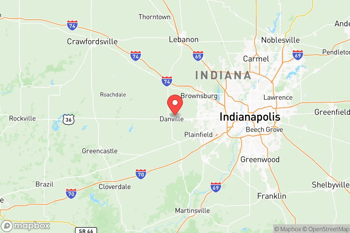
Hendricks County sits on the Tipton Till Plain, a flat to gently rolling landscape that is among the most productive agricultural regions in the state. This topography offers practical advantages: minimal flood risk compared to riverine counties, excellent drainage for septic systems, and ample space for private wells and gardens. The county is not located near any major fault lines, and its inland position—roughly 600 miles from the Gulf Coast and 150 miles from Lake Michigan—reduces exposure to hurricanes, storm surges, and lake-effect snow extremes. The dominant natural risk is severe thunderstorms and occasional tornadoes, which are manageable with a properly constructed safe room or basement shelter. Named places within the county—such as the county seat of Danville, the growing town of Brownsburg, and the smaller communities of Plainfield, Avon, and Pittsboro—each offer distinct settlement options. Danville, in particular, provides a historic town center with county government infrastructure, while Brownsburg and Avon have seen significant residential development with modern amenities. The county's position west of Indianapolis places it upwind of the urban core under prevailing westerly winds, a meaningful factor for airborne contamination scenarios.
Risks, exposures, and proximity to fallout-relevant landmarks
Hendricks County's primary risk exposure comes from its proximity to Indianapolis, a major transportation and logistics hub. The Indianapolis International Airport, located just east of the county line near Plainfield, is a potential target in a conflict scenario, as is the larger Indianapolis metropolitan area's concentration of government, healthcare, and corporate infrastructure. However, Hendricks County itself contains no major military bases, refineries, or high-value industrial targets. The nearest significant military installation is Camp Atterbury, roughly 50 miles south in Johnson County, and the Crane Naval Surface Warfare Center is about 80 miles southwest. The county's position along I-70 and I-74 means it could serve as a transit corridor during an evacuation, which could bring both opportunities and risks. The presence of the Duke Energy power plant in nearby Morgan County (Edwardsport) is a consideration, but it is approximately 60 miles southwest and not a direct threat. For a relocator, the key takeaway is that Hendricks County is not a primary target but sits within the secondary risk zone of a major city. The county's lack of heavy industry, chemical plants, or nuclear facilities significantly reduces the likelihood of localized industrial accidents or targeted strikes.
Practical resilience for a relocator: food, water, energy, and defensibility
Hendricks County's agricultural character provides a strong foundation for food security. The county is home to numerous working farms producing corn, soybeans, and livestock, and the presence of local farmers' markets in Danville, Brownsburg, and Plainfield supports direct-to-consumer food access. For water, the county relies on groundwater from the glacial aquifer system, which is generally abundant and of good quality. Private wells are common in rural areas, and the county's soil composition allows for effective rainwater catchment. Energy infrastructure is stable, with Duke Energy and AES Indiana providing electricity, but natural gas and propane are widely available for backup heating and cooking. The county's defensibility is enhanced by its dispersed settlement pattern: the population of roughly 175,000 is spread across several towns and unincorporated areas, with no single dense urban core. This reduces the risk of cascading failures and makes it easier to maintain community-level organization. The county's road network, including State Roads 36, 39, and 267, provides multiple egress routes, though I-70 could become congested during a regional evacuation. For a family seeking a balance between access to urban resources and the ability to operate independently, Hendricks County offers a practical middle ground.
Overall, Hendricks County presents a strong strategic picture for the preparedness-minded relocator. Its geographic position provides a meaningful buffer from the highest-risk zones while maintaining access to Indianapolis for employment, healthcare, and supply chains. The county's agricultural base, groundwater resources, and low industrial exposure create a resilient environment that supports long-term self-sufficiency. The primary trade-off is proximity to a major city, which introduces some risk but also provides economic and logistical advantages that many relocators will find worthwhile. For those willing to invest in a well-built home with a safe room, a private well, and a garden, Hendricks County offers a defensible, resource-rich location that aligns with conservative values of self-reliance and community preparedness.

* Values derived from national, state, county, city and local statistics and may differ in a specific area. Last updated: 2026-07-04T18:41:13.000Z
Narrative content on this page is AI-generated and may contain mistakes. Verify any details that matter before acting on them.
ReloMaps may earn a commission from affiliate links at no extra cost to you.

