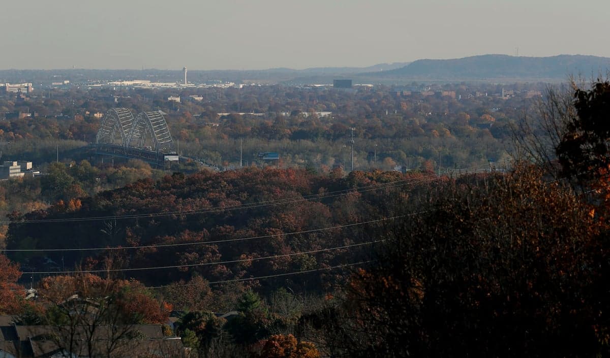
Photo: Wikipedia
Strategic Assessment of Floyd County
Meaningful friction. Expect exposure to either population pressure, blast zones, or natural disaster risk. Consider buying a retreat property.
What does the Strategic Assessment tell us?
Our Strategic Assessment grades tactical survivability of an area. Major population centers, military targets, fallout zones, natural disasters, and border exposure all drive risk — lower exposure means a more defensible position in a crisis.
This is heavily inspired by Joel Skousen's Strategic Relocation book. Highly recommended you checkout the book ($)What does this tell us?
Our Strategic Assessment grades tactical survivability of an area. Major population centers, military targets, fallout zones, natural disasters, and border exposure all drive risk — lower exposure means a more defensible position in a crisis.
This is heavily inspired by Joel Skousen's Strategic Relocation book. Highly recommended you checkout the book ($)Strategic Pillars

Key Distances
Strategic Assessment Analysis
Floyd County, Indiana, offers a compelling mix of strategic depth and everyday livability for those prioritizing resilience and self-sufficiency, largely due to its position on the Ohio River and its proximity to Louisville, Kentucky, without being swallowed by that metro area's vulnerabilities. The county's geography—a blend of river frontage, rolling hills, and wooded hollows—provides natural advantages that are rare in the Midwest, while its distance from major national fallout targets like Washington D.C., Chicago, or the Gulf Coast refineries gives it a lower baseline risk profile. For a relocator thinking seriously about disaster readiness, Floyd County presents a balanced picture: strong local resources, moderate exposure to man-made risks, and a community that has historically weathered economic and environmental shocks with a practical, independent mindset.
Geographic position and natural advantages for long-term security
Floyd County sits at the intersection of the Ohio River and the southern edge of the Indiana uplands, a topography that offers both defensive and resource-based benefits. The county's northern and eastern sections, around Greenville and Georgetown, rise into forested ridges and limestone bluffs, providing natural elevation that reduces flood risk and offers defensible positions for homesteads. The Ohio River forms the county's southern border, giving direct access to a massive, reliable freshwater source—critical for any long-term resilience plan. Unlike flat, open farmland to the north, Floyd County's terrain includes numerous creeks, springs, and wooded draws that support game, forage, and off-grid water collection. The county seat, New Albany, sits directly on the river, but the bulk of the county's land area is rural or semi-rural, with Floyds Knobs and Galena offering elevated, secluded properties that are still within 20 minutes of urban amenities. This combination of river access, elevation, and forest cover is a genuine geographic asset for anyone looking to balance isolation with accessibility.
Risks, exposures, and proximity to fallout-relevant landmarks
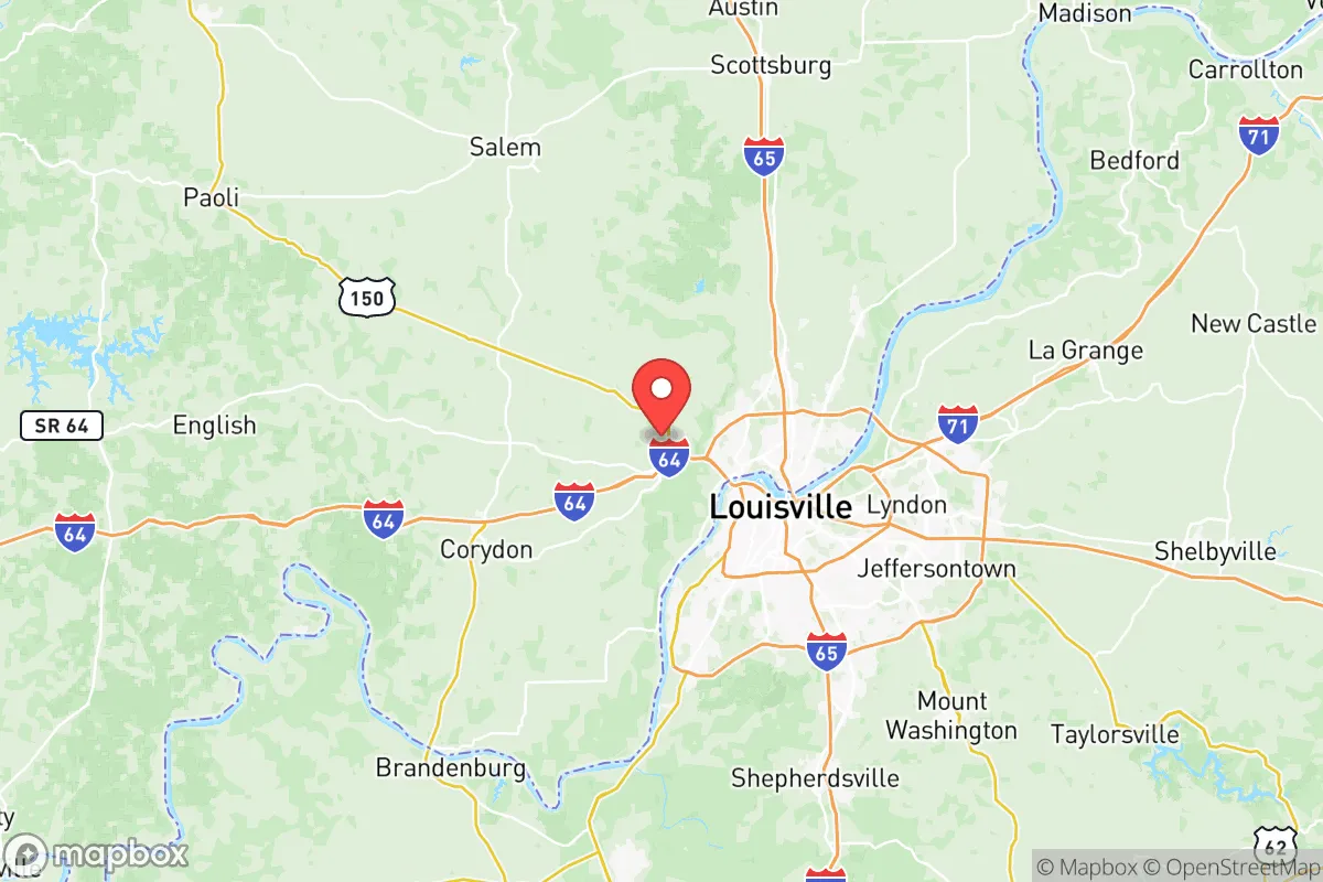
No resilience assessment is honest without acknowledging the downsides, and Floyd County has a few notable exposures. The most significant is its proximity to Louisville, Kentucky, a major population center and transportation hub that sits just across the river. Louisville is home to the Louisville International Airport (SDF), a UPS Worldport cargo hub, and several industrial facilities including chemical plants and refineries along the Ohio River corridor. In a major event—whether natural disaster, grid failure, or geopolitical conflict—Louisville would be a primary target for cascading failures, and Floyd County would face secondary effects: refugees, supply chain disruption, and potential fallout if the industrial sites were compromised. The county also lies within 100 miles of Fort Knox, a major military installation, and roughly 150 miles from the Naval Surface Warfare Center at Crane, Indiana, both of which could be strategic targets. On the natural disaster front, the Ohio River has a history of flooding, particularly in low-lying areas of New Albany and Clarksville, though the elevated sections of the county are largely safe. Tornado risk is moderate but real, with the region sitting at the northern edge of "Dixie Alley." The key takeaway: Floyd County is not a remote bunker location, but its risks are manageable with proper planning, especially if you avoid the river bottoms and stay on the high ground.
Practical resilience for a relocator: food, water, energy, and defensibility
For someone serious about self-sufficiency, Floyd County offers a strong foundation. The soil in the upland areas is a mix of clay and loam, suitable for gardens and small-scale farming, and the growing season is long enough for two crop cycles in most years. Local food infrastructure is robust: the New Albany Farmers Market operates seasonally, and there are numerous u-pick orchards, CSA farms, and livestock operations in the county and adjacent Harrison County. Water is abundant—the Ohio River is the obvious source, but many properties have access to groundwater via wells, and the county's numerous springs and creeks provide backup options. Energy resilience is more mixed. The local grid is served by Duke Energy Indiana, which has a mixed reliability record, but the hilly terrain makes solar panel placement viable on south-facing slopes, and the prevalence of wooded lots means firewood is a practical heating backup. Propane is widely available for off-grid cooking and heating. Defensibility varies by location: the open riverfront areas are vulnerable, but the interior ridges and hollows around Floyds Knobs and Greenville offer natural chokepoints and limited road access, making them easier to secure. The county's gun culture is strong, with multiple shooting ranges and a high rate of private firearm ownership, which aligns with a self-reliant mindset. Medical infrastructure is adequate for routine care, with Baptist Health Floyd in New Albany providing emergency services, but serious trauma cases would require transport to Louisville—a vulnerability worth noting.
The overall strategic picture for Floyd County is one of moderate-high resilience with clear, manageable trade-offs. It is not a remote wilderness retreat, nor is it a high-risk urban core. For a relocator who wants access to a major river, good soil, defensible terrain, and a community that values independence, it is a solid choice. The proximity to Louisville is both a resource and a liability, but the county's elevated interior offers a buffer that many river towns lack. If you are willing to invest in off-grid water and energy systems, avoid the flood-prone riverfront, and maintain situational awareness of events across the river, Floyd County provides a realistic, livable base for long-term preparedness. It is a place where you can build a resilient life without living like a hermit—and that balance is harder to find than most people realize.

* Values derived from national, state, county, city and local statistics and may differ in a specific area. Last updated: 2026-07-03T21:31:34.000Z
Narrative content on this page is AI-generated and may contain mistakes. Verify any details that matter before acting on them.
ReloMaps may earn a commission from affiliate links at no extra cost to you.

