
Photo: Wikipedia
Strategic Assessment of Elkhart County
Meaningful friction. Expect exposure to either population pressure, blast zones, or natural disaster risk. Consider buying a retreat property.
What does the Strategic Assessment tell us?
Our Strategic Assessment grades tactical survivability of an area. Major population centers, military targets, fallout zones, natural disasters, and border exposure all drive risk — lower exposure means a more defensible position in a crisis.
This is heavily inspired by Joel Skousen's Strategic Relocation book. Highly recommended you checkout the book ($)What does this tell us?
Our Strategic Assessment grades tactical survivability of an area. Major population centers, military targets, fallout zones, natural disasters, and border exposure all drive risk — lower exposure means a more defensible position in a crisis.
This is heavily inspired by Joel Skousen's Strategic Relocation book. Highly recommended you checkout the book ($)Strategic Pillars

Key Distances
Strategic Assessment Analysis
Elkhart County, Indiana, occupies a strategic position in the nation's industrial heartland, offering a blend of manufacturing resilience and agricultural self-sufficiency that appeals to relocation-minded individuals and families with a conservative, preparedness-oriented outlook. The county's economy, anchored by the recreational vehicle and manufactured housing industries, provides a stable employment base that has weathered multiple economic cycles, while its location in northern Indiana places it within a day's drive of major Midwestern population centers like Chicago, Detroit, and Indianapolis, yet far enough removed to avoid the immediate fallout of a major metropolitan crisis. For a reader assessing long-term viability, Elkhart County presents a compelling case: a community that produces tangible goods, grows its own food, and maintains a social fabric that values self-reliance and neighborly cooperation.
Geographic position and natural advantages for long-term stability
Elkhart County sits in the St. Joseph River watershed, a region defined by glacial till plains and fertile, well-drained soils that are among the most productive in the Midwest. The county's topography is gently rolling, with no significant floodplains or seismic hazards, reducing exposure to natural disasters like hurricanes, earthquakes, or wildfires that plague other parts of the country. The St. Joseph River and its tributaries, including the Elkhart River, provide a reliable surface water source, while the underlying glacial aquifers offer groundwater that is generally accessible at moderate depths—a critical factor for a relocator planning a well-dependent homestead. The county's position in the humid continental climate zone means adequate annual rainfall (roughly 35-40 inches) for rain-fed agriculture, reducing dependence on irrigation infrastructure. Elkhart County's agricultural output is substantial: it ranks among Indiana's top counties for corn, soybeans, and dairy production, meaning local food supply chains are robust even in disrupted scenarios. The county seat, Goshen, and the largest city, Elkhart, are both situated along major transportation corridors—the Indiana Toll Road (I-80/90) and US 20—providing redundancy in road networks that would be critical for evacuation or supply movement.
Risk exposure and proximity to fallout-relevant landmarks
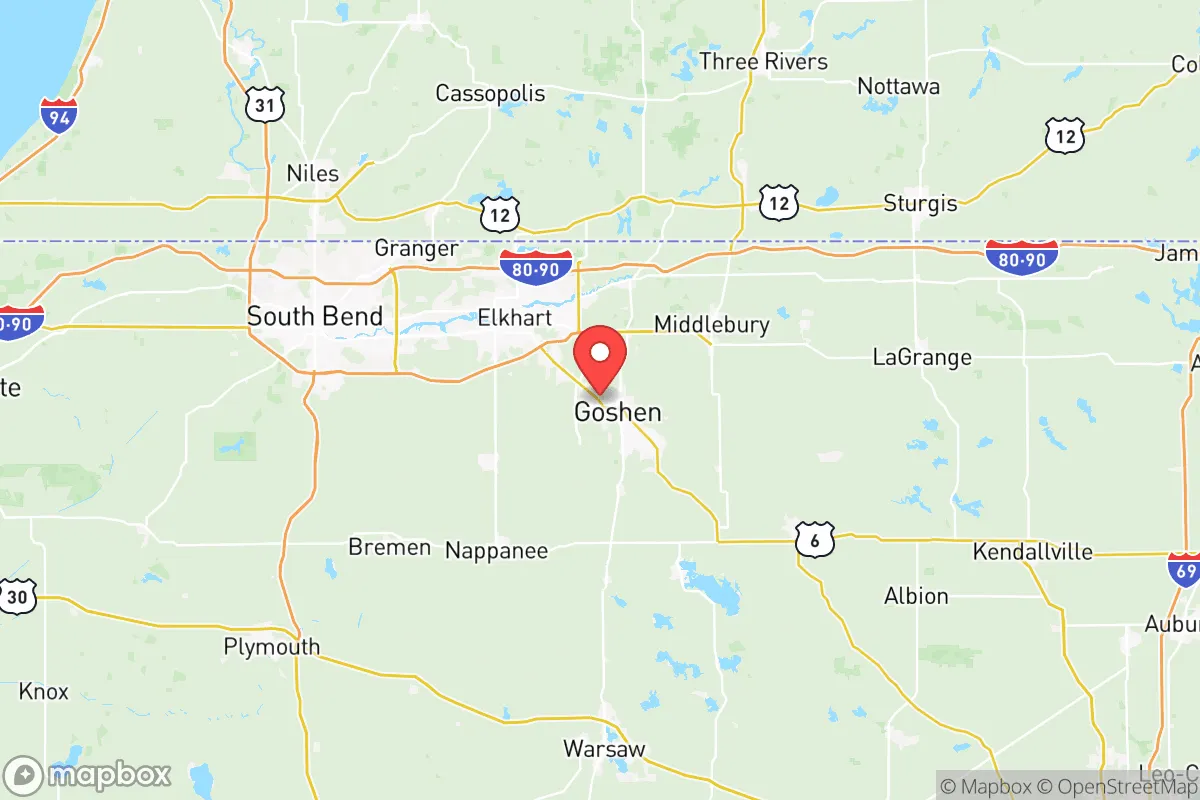
While Elkhart County avoids the direct blast and fallout zones of major strategic targets, its location does carry specific risk exposures that a serious relocator must weigh. The county lies approximately 100 miles east of Chicago, a Tier 1 metropolitan target in any major conflict scenario, and roughly 80 miles north of Indianapolis, which hosts the Indianapolis International Airport and the Muscatatuck Urban Training Center—both potential secondary targets. The most proximate high-value military installation is the South Bend International Airport (home to the 122nd Fighter Wing of the Indiana Air National Guard), located just 20 miles west of Elkhart, which could be a target for stand-off weapons or a staging area for military operations. Additionally, the county is within 50 miles of the Michigan City generating station (a coal and nuclear plant) and the BP Whiting Refinery in northwest Indiana, one of the largest refineries in the Midwest. These industrial sites could be targets for sabotage or collateral damage in a broader conflict. On the positive side, Elkhart County itself contains no major military bases, nuclear facilities, or large-scale chemical plants, making it a lower-priority target than many other Midwestern counties. The prevailing westerly winds mean that fallout from a Chicago or South Bend strike would likely be carried eastward, placing Elkhart County in a downwind risk zone for particulate contamination, though the distance and dilution factors reduce the immediate lethality. For a relocator, the key takeaway is that Elkhart County is in a "gray zone"—not a primary target, but within the fallout footprint of several high-value assets, requiring a robust sheltering and filtration plan.
Practical resilience for a relocator: food, water, energy, and defensibility
Elkhart County's practical resilience for a self-sufficient household is strong, particularly in food production and water access. The county's agricultural base means that local farmers' markets, CSAs, and bulk food suppliers are abundant, and the Amish and Mennonite communities in the surrounding area (particularly in LaGrange and Elkhart counties) maintain a culture of low-tech, self-reliant farming that would be invaluable in a prolonged disruption. For a relocator seeking to produce their own food, the growing season averages 150-160 frost-free days, sufficient for most staple crops, and the soil pH and fertility are naturally favorable for vegetables, grains, and pasture. Water access is generally good: the St. Joseph River is a perennial stream with a mean flow of over 2,000 cubic feet per second at the Elkhart gauge, and the county's groundwater is typically found at depths of 30-100 feet, making hand-pump or solar-powered well systems feasible. Energy resilience is more mixed. The county is served by Indiana Michigan Power (a subsidiary of American Electric Power), which relies on a mix of coal, natural gas, and nuclear generation from the Cook Nuclear Plant in nearby Bridgman, Michigan. In a grid-down scenario, the county's rural character means that many homes already have propane tanks, wood stoves, and backup generators, and the local Amish population provides a living example of off-grid living. Defensibility is a relative strength: Elkhart County's population density is moderate (roughly 200 people per square mile), with a mix of small towns, unincorporated communities, and scattered farmsteads. The terrain is open but not flat, with wooded creek bottoms and scattered woodlots that provide cover and concealment. The county's law enforcement presence includes the Elkhart County Sheriff's Department, the Goshen Police Department, and the Elkhart Police Department, with a combined sworn officer count of roughly 300, supplemented by the Indiana State Police post in Bremen. In a crisis, the county's strong hunting culture (with abundant deer and turkey populations) means that a significant portion of the population is armed and familiar with firearms, which could be a stabilizing or destabilizing factor depending on the nature of the disruption.
The overall strategic picture for Elkhart County is one of moderate-to-high resilience for a relocator who is prepared, networked, and realistic about the risks. The county's agricultural productivity, water availability, and distance from primary strategic targets make it a more viable long-term location than many suburban or exurban areas closer to Chicago or Indianapolis. However, the proximity to South Bend's air guard base, the Whiting Refinery, and the Cook Nuclear Plant introduces a non-trivial risk of secondary fallout or infrastructure disruption that cannot be ignored. For a family or individual willing to invest in a well, a root cellar, a wood stove, and a community of like-minded neighbors, Elkhart County offers a solid foundation. The presence of established Amish and Mennonite communities provides a built-in network of low-tech skills and mutual aid that is rare in most of the United States. Ultimately, Elkhart County is not a bug-out location for a lone survivalist, but a functioning community where a prepared relocator can integrate into an existing fabric of production, faith, and self-reliance—a combination that is increasingly valuable in an uncertain future.

* Values derived from national, state, county, city and local statistics and may differ in a specific area. Last updated: 2026-07-17T00:37:15.000Z
Narrative content on this page is AI-generated and may contain mistakes. Verify any details that matter before acting on them.
ReloMaps may earn a commission from affiliate links at no extra cost to you.

