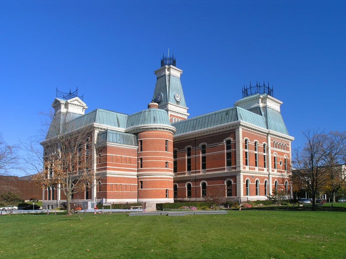
Photo: Wikipedia
Strategic Assessment of Bartholomew County
Meaningful friction. Expect exposure to either population pressure, blast zones, or natural disaster risk. Consider buying a retreat property.
What does the Strategic Assessment tell us?
Our Strategic Assessment grades tactical survivability of an area. Major population centers, military targets, fallout zones, natural disasters, and border exposure all drive risk — lower exposure means a more defensible position in a crisis.
This is heavily inspired by Joel Skousen's Strategic Relocation book. Highly recommended you checkout the book ($)What does this tell us?
Our Strategic Assessment grades tactical survivability of an area. Major population centers, military targets, fallout zones, natural disasters, and border exposure all drive risk — lower exposure means a more defensible position in a crisis.
This is heavily inspired by Joel Skousen's Strategic Relocation book. Highly recommended you checkout the book ($)Strategic Pillars

Key Distances
Strategic Assessment Analysis
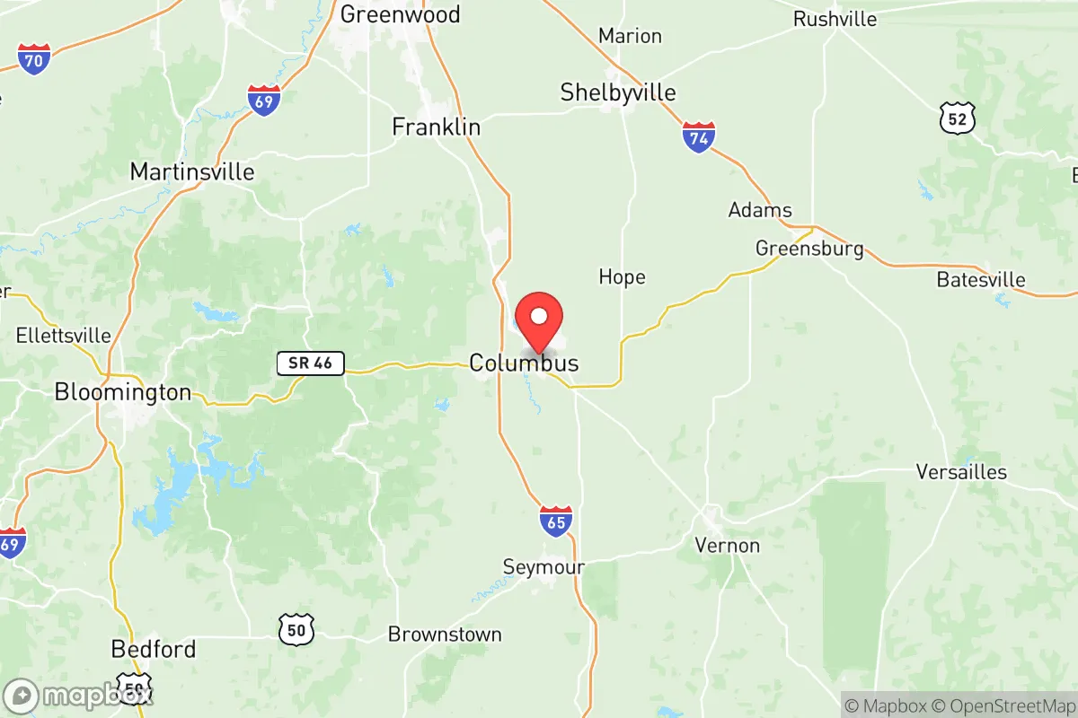
Bartholomew County, anchored by the city of Columbus, presents a compelling case for relocation-minded readers who prioritize resilience and strategic positioning. Its location in south-central Indiana places it roughly 45 miles south of Indianapolis and 90 miles north of Louisville, Kentucky—close enough to major urban centers for supply runs and employment access, yet far enough to avoid the immediate fallout zones and congestion of a major metropolitan area. The county’s economic stability, rooted in manufacturing and logistics, adds a layer of practical durability that appeals to those thinking long-term about self-sufficiency and community strength.
Geographic position and natural advantages for long-term stability
Bartholomew County sits within the rolling hills and fertile valleys of the Indiana Uplands, a region characterized by moderate elevation changes and abundant hardwood forests. The county’s terrain offers natural defensibility: the Driftwood River and its tributaries, including the East Fork White River, create natural barriers and water sources that could be leveraged in a grid-down scenario. The area’s karst topography—with limestone bedrock and numerous springs—provides potential for groundwater access, though it also means careful well placement is necessary. Columbus, the county seat, is the primary population hub with roughly 50,000 residents, while smaller communities like Hope (pop. 2,100) and Elizabethtown (pop. 400) offer more rural, low-density living options. The county’s agricultural land is productive, with corn, soybeans, and hay being common crops, and local farmers’ markets in Columbus and Hope provide a baseline for food security. The region’s moderate climate—with four distinct seasons and average annual rainfall around 45 inches—supports year-round gardening and livestock grazing, a key advantage for those planning to grow their own food.
Risks, exposures, and proximity to fallout-relevant landmarks
While Bartholomew County avoids the direct blast zones of major strategic targets, it is not without exposure. The nearest high-value military installation is Camp Atterbury in Johnson County, about 30 miles north—a major training base and logistics hub that could be a secondary target in a conflict scenario. The county also lies within 100 miles of the Indianapolis International Airport and the Louisville International Airport, both potential targets for airfield denial strikes. More concerning for fallout patterns: prevailing winds from the west and southwest could carry radioactive debris from a strike on the Jefferson Proving Ground (a former military testing range in southeastern Indiana) or from a major industrial facility like the Clifty Creek Power Plant in Madison, Indiana, a coal-fired plant that could be a secondary target. Natural disaster risks are moderate: tornadoes are a real threat, with Bartholomew County averaging 1-2 tornado warnings per year, and the flat-to-rolling terrain offers little shielding from straight-line winds. Flooding along the East Fork White River is a periodic concern, particularly in low-lying areas near Columbus’s downtown. The county’s proximity to the Muscatatuck Urban Training Center (a mock urban environment used for military and first-responder training) is a double-edged sword—it brings federal resources and emergency response expertise to the area, but also increases the likelihood of military traffic and potential targeting in a prolonged conflict.
Practical resilience for a relocator: food, water, energy, and defensibility
For a relocator serious about self-sufficiency, Bartholomew County offers a solid foundation. Water access is the strongest asset: the county sits atop the Silurian-Devonian aquifer, a limestone-based groundwater system that provides reliable well water at depths of 50-200 feet. Surface water from the Driftwood River and its tributaries is plentiful but requires filtration due to agricultural runoff. Food production is viable—the growing season runs from April to October, and the county’s soil is rated as prime farmland in many areas, particularly in the northern and eastern townships. Local food infrastructure includes the Columbus Farmers Market (operating May-October) and several community-supported agriculture (CSA) programs, but year-round food storage will require canning, dehydrating, or root cellaring. Energy resilience is mixed: the grid is served by Duke Energy Indiana, with a mix of coal, natural gas, and renewables, but rural areas are prone to outages during storms. Solar potential is moderate—the county receives about 4.5 peak sun hours per day—and wood heating is practical given the abundant forest cover. Defensibility is where the county shines: the rural townships (like Clifty and Rocky Ripple) offer low population density, natural chokepoints from river crossings, and a strong local hunting culture that means many residents own firearms and are comfortable with their use. The county’s law enforcement presence is modest—the Bartholomew County Sheriff’s Office has about 40 sworn deputies—so community-based security arrangements would be essential in a prolonged emergency. The Columbus Regional Hospital is a Level II trauma center with a helipad, providing a medical safety net that few rural counties can match.
The overall strategic picture for Bartholomew County is one of balanced resilience. It avoids the high-risk zones of major cities and military targets while retaining access to critical infrastructure and resources. The county’s agricultural base, water availability, and moderate climate make it a viable location for long-term self-sufficiency, particularly for those willing to invest in well drilling, solar panels, and food storage. The presence of Camp Atterbury and the Muscatatuck training center introduces a non-zero risk of military-related disruption, but these assets also mean the area has a higher-than-average concentration of emergency responders and logistical support. For a relocator who values community stability, natural resources, and a reasonable distance from fallout zones, Bartholomew County offers a pragmatic middle ground—neither a fortress nor a vulnerability, but a place where preparation and community ties can make the difference.

* Values derived from national, state, county, city and local statistics and may differ in a specific area. Last updated: 2026-11-14T07:02:44.000Z
Narrative content on this page is AI-generated and may contain mistakes. Verify any details that matter before acting on them.
ReloMaps may earn a commission from affiliate links at no extra cost to you.

