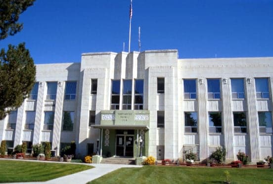
Photo: Wikipedia
Strategic Assessment of Washington County
Deep buffer from population centers and strategic targets. Low natural disaster risk and minimal exposure to border or coastal threats.
What does the Strategic Assessment tell us?
Our Strategic Assessment grades tactical survivability of an area. Major population centers, military targets, fallout zones, natural disasters, and border exposure all drive risk — lower exposure means a more defensible position in a crisis.
This is heavily inspired by Joel Skousen's Strategic Relocation book. Highly recommended you checkout the book ($)What does this tell us?
Our Strategic Assessment grades tactical survivability of an area. Major population centers, military targets, fallout zones, natural disasters, and border exposure all drive risk — lower exposure means a more defensible position in a crisis.
This is heavily inspired by Joel Skousen's Strategic Relocation book. Highly recommended you checkout the book ($)Strategic Pillars

Key Distances
Strategic Assessment Analysis
Washington County, Idaho offers a compelling strategic profile for relocators prioritizing resilience and self-sufficiency, combining low population density with defensible terrain and a location that is both remote from major metropolitan fallout zones yet within practical reach of essential services. The county, anchored by the small city of Weiser (population roughly 5,200) and the unincorporated community of Cambridge, sits in the state’s west-central region along the Snake River, providing a natural buffer against the cascading disruptions that could affect larger population centers. For a conservative-leaning audience weighing disaster readiness, this area’s geographic isolation, agricultural capacity, and limited exposure to high-value targets make it a noteworthy candidate for a strategic relocation.
Geographic position and natural advantages for long-term stability
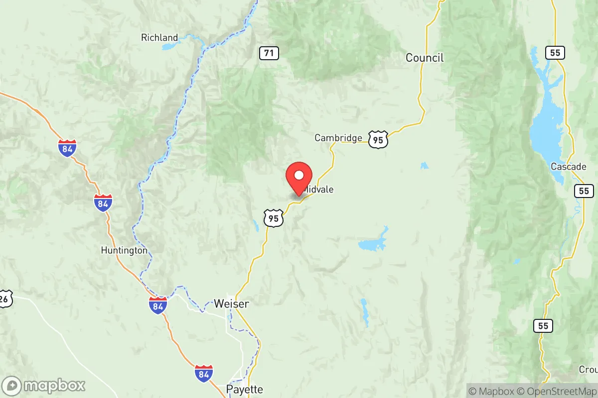
Washington County’s primary strategic asset is its location within the Snake River Plain, a broad, fertile valley flanked by the Weiser River and the Payette River systems, which converge near the Oregon border. This positioning offers reliable water access—a critical factor for any self-sufficiency plan—and a moderate climate that supports a growing season of roughly 140–160 days, suitable for staple crops like wheat, barley, and alfalfa. The county’s terrain transitions from irrigated bottomlands along the Snake River to sagebrush-covered hills and pine-studded mountains in the west, providing both agricultural flatlands and defensible high ground. The nearest major city, Boise, lies about 70 miles southeast, far enough to avoid the immediate fallout of a metropolitan disruption but close enough for occasional supply runs or medical access. The Oregon Trail corridor historically passed through this region, underscoring its role as a natural travel and trade route, but modern infrastructure remains sparse—Interstate 84 runs just south of the county line, while U.S. Route 95 cuts north-south through Weiser, offering a single primary evacuation artery. This limited road network is a double-edged sword: it reduces through-traffic and unwanted attention but also constrains egress if a regional event blocks the highway.
Risks, exposures, and proximity to fallout-relevant landmarks
From a man-made risk perspective, Washington County benefits from its distance to high-value targets. The nearest significant military installation is Mountain Home Air Force Base, roughly 100 miles southeast, which hosts F-15E Strike Eagles and is a plausible target in a conflict scenario—but the prevailing winds in this region blow from the southwest, meaning fallout would likely drift northeast, away from the county. No major refineries, nuclear power plants, or large ports exist within 150 miles; the closest refinery is in Pocatello, over 250 miles east. The Idaho National Laboratory, a nuclear research facility near Idaho Falls, sits about 300 miles east, well outside any immediate blast or fallout radius. Natural hazards are more immediate: the county lies within Seismic Zone 2, meaning moderate earthquake risk from the nearby Western Idaho Shear Zone, though no major quakes have been recorded in the last century. Wildfire risk is moderate to high, particularly in the dry summer months, with the 2021 Weiser Complex Fire burning over 12,000 acres in the county’s western hills. Flooding along the Weiser and Snake Rivers is a periodic concern, especially during spring snowmelt, but the county’s floodplain management has improved since the 1997 flood that inundated parts of Weiser. For a relocator, these risks are manageable with proper site selection—avoiding low-lying riverfront property and maintaining defensible space around structures.
Practical resilience for a relocator: food, water, energy, and defensibility
Washington County’s practical resilience metrics are strong for a rural area. Water availability is the standout advantage: the Snake River aquifer provides abundant groundwater, and surface water rights are actively managed by the Idaho Department of Water Resources. Many rural properties have existing wells, and new wells typically hit water at 100–300 feet, with yields of 10–50 gallons per minute—sufficient for household use and small-scale irrigation. Food production is viable, with the county’s agricultural base supporting cattle ranching, hay production, and small orchards. The Weiser Farmers Market operates seasonally, and local co-ops in Cambridge and Midvale offer seed, feed, and livestock supplies. For energy, the county is served by Idaho Power, which draws primarily from hydroelectric dams on the Snake River—a relatively stable grid source, though vulnerable to drought. Solar potential is excellent, with over 200 sunny days per year, and off-grid setups are common among rural residents. Defensibility is a mixed picture: the county’s low population density (roughly 10 people per square mile) means few neighbors, but the open terrain of the Snake River Valley offers limited natural cover. The surrounding West Mountains and Cuddy Mountains provide better concealment for properties at higher elevations. The county sheriff’s office, based in Weiser, has a small force of about 12 deputies for the entire 1,470-square-mile area, meaning response times in remote areas can exceed 30 minutes—a factor that favors self-reliance over reliance on law enforcement.
The overall strategic picture for Washington County is one of moderate-to-high resilience with clear trade-offs. Its geographic isolation from major fallout targets, reliable water resources, and agricultural capacity make it a strong candidate for a family or individual seeking a self-sufficient lifestyle with a conservative, community-oriented ethos. The county’s small-town character—Weiser’s annual National Oldtime Fiddlers’ Contest draws thousands but doesn’t disrupt the quiet rhythm—fosters a culture of neighborly mutual aid, though newcomers should expect to earn trust through participation in local events and volunteer fire departments. The primary vulnerabilities are wildfire risk, a single highway for evacuation, and limited medical infrastructure (the nearest hospital with a trauma center is in Ontario, Oregon, 15 miles west). For a relocator who values preparedness over convenience, Washington County offers a defensible, resource-rich base that balances remoteness with accessibility—a rare combination in the modern Intermountain West.

* Values derived from national, state, county, city and local statistics and may differ in a specific area. Last updated: 2026-06-29T00:18:47.000Z
Narrative content on this page is AI-generated and may contain mistakes. Verify any details that matter before acting on them.
ReloMaps may earn a commission from affiliate links at no extra cost to you.

