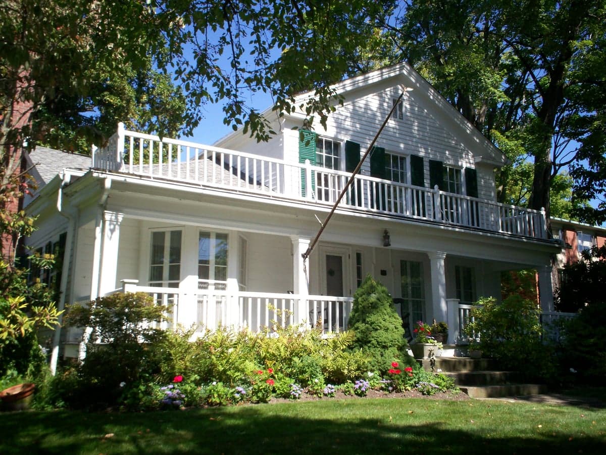
Photo: Wikipedia
Strategic Assessment of Hiram, OH
Meaningful friction. Expect exposure to either population pressure, blast zones, or natural disaster risk. Consider buying a retreat property.
What does the Strategic Assessment tell us?
Our Strategic Assessment grades tactical survivability of an area. Major population centers, military targets, fallout zones, natural disasters, and border exposure all drive risk — lower exposure means a more defensible position in a crisis.
This is heavily inspired by Joel Skousen's Strategic Relocation book. Highly recommended you checkout the book ($)What does this tell us?
Our Strategic Assessment grades tactical survivability of an area. Major population centers, military targets, fallout zones, natural disasters, and border exposure all drive risk — lower exposure means a more defensible position in a crisis.
This is heavily inspired by Joel Skousen's Strategic Relocation book. Highly recommended you checkout the book ($)Strategic Pillars

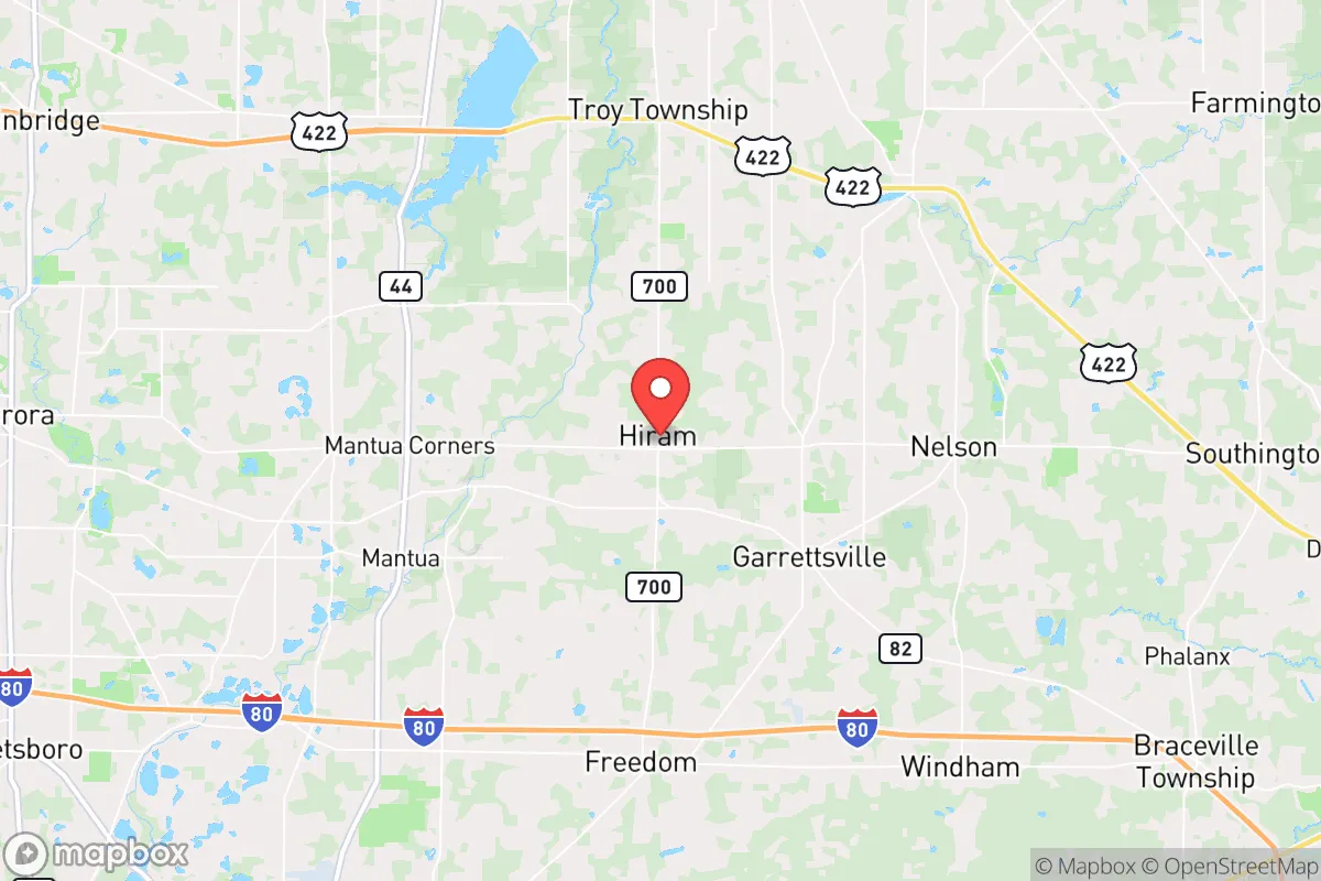
Key Distances
Regional Safe Places
Below is our recommended "safe zones" in Ohio and the surrounding area based on our strategic heuristics. For most people, it's unrealistic to live in a “safe zone” full-time due to work, family or other personal reasons. They tend to be more rural. However, many of these areas are perfect for second homes and retreat properties that double as a vacation home or even a short-term rental.

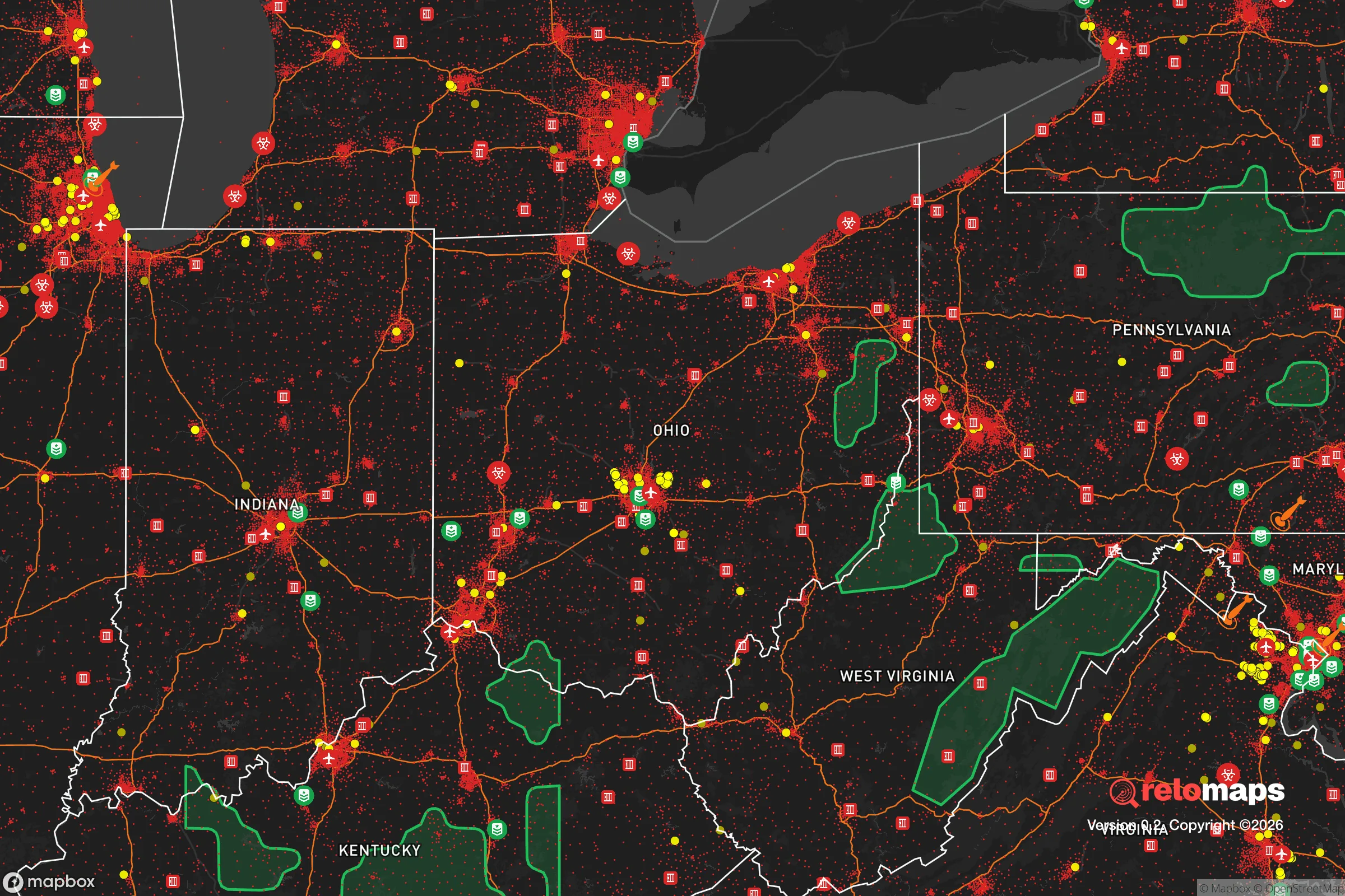


Important Note: For informational purposes only. This does not mean nothing bad ever happens in the green zones. Please use common sense. This is based on public data and modeled with AI. We tried to take a conservative approach but mistakes happen. We update this regularly as new information becomes available.
Solar Generator Recommendations
Backup power matters more here than in safer locations. We've picked three solar generators across budgets and capacity tiers — start with the budget unit if you only need a few essentials, or step up if you want to run a fridge and HVAC for days at a time.

Jackery Portable Power Station Explorer 300
Budget OptionPower on the Go: Weighing only 11 lbs, it's convenient to set up and store with book-sized foldable solar panels

BLUETTI Portable Power Station AC180
Designed for both indoor and outdoor scenarios, AC180 is highly capable as it has a robost capacity and continuous output power.

EF ECOFLOW DELTA Pro Ultra Power Station
Upgraded PickEcoFlow DELTA Pro Ultra is a whole-home energy system designed to grow with your family. Integrated with the Smart Home Panel 2, it scales to meet your evolving energy needs — keeping your home powered, intelligent, and secure through every stage of life.
We earn a commission, at no additional cost to you.
Strategic Assessment Analysis
Hiram, Ohio offers a surprisingly strong strategic position for the relocation-minded reader focused on resilience and self-sufficiency, balancing proximity to Great Lakes resources with a low-key, rural character that avoids the density and target profile of major metropolitan areas. Located in Portage County, roughly 35 miles southeast of Cleveland and 15 miles west of Youngstown, this village of roughly 1,200 residents sits in a corridor that is far enough from primary fallout and civil unrest zones to provide meaningful buffer, yet close enough to access critical infrastructure and supply chains. For a conservative-leaning individual or family weighing disaster readiness, Hiram’s combination of agricultural land, groundwater availability, and low population density makes it a credible base for long-term preparedness without requiring a complete off-grid relocation to remote wilderness.
Geographic position and natural advantages for long-term preparedness
Hiram’s location in the Western Reserve of northeastern Ohio places it on the edge of the Allegheny Plateau, a region characterized by rolling hills, mixed hardwood forests, and abundant surface water. The area sits atop the Sharon Conglomerate aquifer, a sandstone formation that provides reliable groundwater at moderate depths—typically 50 to 150 feet—making well drilling a practical option for most properties. The Cuyahoga River headwaters and numerous small creeks, including Silver Creek and Breakneck Creek, run through the township, offering surface water sources that can be filtered or treated in a grid-down scenario. Annual precipitation averages about 38 inches, spread evenly across the year, which supports rain catchment systems and reduces the risk of prolonged drought compared to the western or southern U.S. The growing season runs roughly from mid-April to mid-October, long enough for substantial vegetable gardens and small-scale grain production, though corn and soybeans dominate the surrounding farmland. Hiram’s elevation—around 1,200 feet above sea level—provides modest terrain advantages for line-of-sight communications and reduces flood risk compared to low-lying areas along Lake Erie or the Ohio River. The village itself is compact, but the surrounding Hiram Township offers parcels ranging from 5 to 50 acres, many with existing farm infrastructure like barns, fencing, and ponds. This combination of water availability, arable land, and moderate climate gives Hiram a solid baseline for semi-self-sufficient living, especially for a family willing to invest in a well, solar panels, and a root cellar.
Risk exposure: natural hazards and proximity to fallout-relevant landmarks
While Hiram avoids the worst of many natural disaster risks, it is not immune to hazards that could stress a preparedness plan. Tornadoes are the primary weather threat; Portage County sits in the eastern fringe of Tornado Alley, with an average of 2-3 tornado touchdowns per decade, typically EF0 to EF2 strength. The 1985 Niles-Wheatland tornado, which killed 18 people in nearby Trumbull County, is a reminder that strong storms can occur. Severe thunderstorms bring damaging straight-line winds and hail several times per year, and winter storms can drop 60-80 inches of snow annually, occasionally causing multi-day power outages. Flooding is localized to low-lying areas near the Cuyahoga River and its tributaries, but most of Hiram sits on well-drained slopes that avoid FEMA-designated flood zones. Seismic risk is negligible, and wildfire risk is low due to the region’s high moisture and deciduous forest composition. From a man-made risk perspective, Hiram’s position is more nuanced. The village is approximately 35 miles from the Perry Nuclear Power Plant on Lake Erie, placing it outside the 10-mile emergency planning zone but within the 50-mile ingestion pathway zone where radioactive iodine could contaminate pasture and water supplies in a severe accident. The Davis-Besse nuclear plant near Toledo is about 100 miles west, posing a lower but non-zero risk. More critically for the fallout-aware reader, Hiram is roughly 50 miles from the Cleveland metropolitan area (population 1.8 million) and 40 miles from Youngstown (population 60,000), both of which could become secondary targets in a conflict scenario or sources of civil unrest. The nearby Ravenna Army Ammunition Plant, a 21,000-acre facility that has stored conventional munitions and chemical agents historically, is about 10 miles southwest—a potential hazard for explosion or contamination if compromised. However, Hiram’s rural character and lack of major infrastructure (no interstate highways, no rail yards, no military bases) mean it is unlikely to be a primary target, and the surrounding farmland provides natural dispersion for refugees or fallout.
Practical resilience for a relocator: food, water, energy, and defensibility
For a family or individual serious about self-sufficiency, Hiram offers several concrete advantages that can be leveraged with moderate investment. Food production is the strongest asset: Portage County has over 1,200 farms, many within a 10-mile radius of Hiram, producing corn, soybeans, hay, and livestock. The Hiram Farmers Market operates from June to October, and local Amish and Mennonite communities in nearby Middlefield (15 miles east) sell bulk grains, seeds, and livestock feed at prices well below retail. A 5-acre parcel can support a family of four with a vegetable garden, a small orchard (apples, pears, peaches), and 2-3 dairy goats or a few head of beef cattle. Deer hunting is legal and productive in the surrounding state forests and private woodlots, with the Ohio Department of Natural Resources reporting an estimated 15-20 deer per square mile in Portage County. Water security is achievable: most rural properties have existing wells, and new wells typically cost $5,000-$10,000 to drill and equip. Surface water from creeks and ponds can be treated with Berkey filters or UV systems, and the high water table means hand pumps or solar-powered pumps are viable backups. Energy independence is more challenging but feasible. The region averages about 160 sunny days per year, which is below the national average but sufficient for a grid-tied solar array with battery backup—a 10 kW system can cover a typical home’s baseload for 8-9 months of the year, with a generator needed for the cloudy winter months. Wood heating is common and practical: firewood permits on state land cost $20 per cord, and a well-insulated home can be heated with 3-4 cords per winter. Defensibility is moderate. Hiram’s low population density and limited road access (State Routes 82 and 700 are two-lane roads) create natural choke points, but the terrain is not mountainous, and the village has no natural barriers like rivers or ridges that would slow a determined group. The local Portage County Sheriff’s Office has about 60 deputies for the entire county, so response times in a crisis could be 20-30 minutes or longer. A relocator should plan for neighborhood-level mutual aid rather than relying on law enforcement. The Hiram College campus (enrollment 1,100) could become a gathering point or resource center, but also a potential target for looting. Overall, Hiram’s practical resilience is strong for food and water, moderate for energy, and requires active community building for security.
The overall strategic picture for Hiram is one of balanced, achievable preparedness rather than extreme isolation. It is not a remote mountain redoubt—you will have neighbors, and you will need to coordinate with them—but it offers a realistic middle ground for a family that wants to be ready for regional disruptions without abandoning modern conveniences entirely. The proximity to Cleveland and Youngstown is a double-edged sword: it provides access to medical centers, hardware stores, and supply chains during normal times, but it also means that a major crisis could bring a wave of evacuees or looters. The key is to build relationships with the existing rural community, many of whom are already practicing the kind of self-reliance you are seeking. If you can secure a property with a well, install solar with battery backup, and establish a garden and small livestock operation within your first two years, Hiram gives you a defensible, sustainable base that can weather most regional emergencies. For the conservative-leaning relocator who values community, land, and a low profile, this is one of the better options in the Midwest—not perfect, but solid, and far more viable than most suburban or exurban alternatives.

* Values derived from national, state, county, city and local statistics and may differ in a specific area. Last updated: 2026-06-16T10:05:31.000Z
Narrative content on this page is AI-generated and may contain mistakes. Verify any details that matter before acting on them.
ReloMaps may earn a commission from affiliate links at no extra cost to you.

