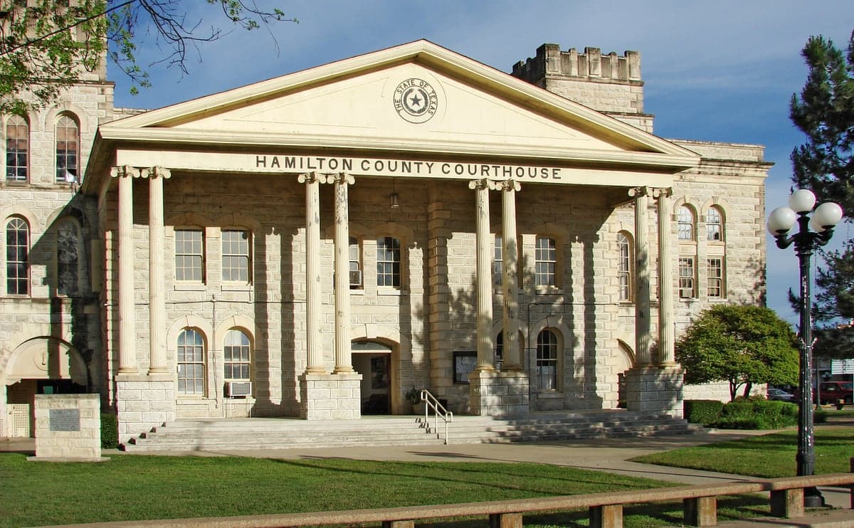
Photo: Wikipedia
Strategic Assessment of Hamilton, TX
Workable tactical position. Some exposure to population density or targets, but generally defensible in a crisis.
What does the Strategic Assessment tell us?
Our Strategic Assessment grades tactical survivability of an area. Major population centers, military targets, fallout zones, natural disasters, and border exposure all drive risk — lower exposure means a more defensible position in a crisis.
This is heavily inspired by Joel Skousen's Strategic Relocation book. Highly recommended you checkout the book ($)What does this tell us?
Our Strategic Assessment grades tactical survivability of an area. Major population centers, military targets, fallout zones, natural disasters, and border exposure all drive risk — lower exposure means a more defensible position in a crisis.
This is heavily inspired by Joel Skousen's Strategic Relocation book. Highly recommended you checkout the book ($)Strategic Pillars

Key Distances
Regional Safe Places
Below is our recommended "safe zones" in Texas and the surrounding area based on our strategic heuristics. For most people, it's unrealistic to live in a “safe zone” full-time due to work, family or other personal reasons. They tend to be more rural. However, many of these areas are perfect for second homes and retreat properties that double as a vacation home or even a short-term rental.

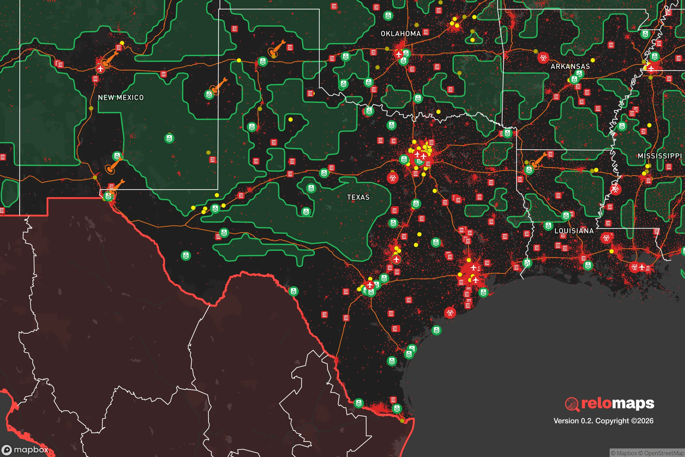


Important Note: For informational purposes only. This does not mean nothing bad ever happens in the green zones. Please use common sense. This is based on public data and modeled with AI. We tried to take a conservative approach but mistakes happen. We update this regularly as new information becomes available.
Solar Generator Recommendations
Backup power matters more here than in safer locations. We've picked three solar generators across budgets and capacity tiers — start with the budget unit if you only need a few essentials, or step up if you want to run a fridge and HVAC for days at a time.

Jackery Portable Power Station Explorer 300
Budget OptionPower on the Go: Weighing only 11 lbs, it's convenient to set up and store with book-sized foldable solar panels

BLUETTI Portable Power Station AC180
Designed for both indoor and outdoor scenarios, AC180 is highly capable as it has a robost capacity and continuous output power.

EF ECOFLOW DELTA Pro Ultra Power Station
Upgraded PickEcoFlow DELTA Pro Ultra is a whole-home energy system designed to grow with your family. Integrated with the Smart Home Panel 2, it scales to meet your evolving energy needs — keeping your home powered, intelligent, and secure through every stage of life.
We earn a commission, at no additional cost to you.
Strategic Assessment Analysis
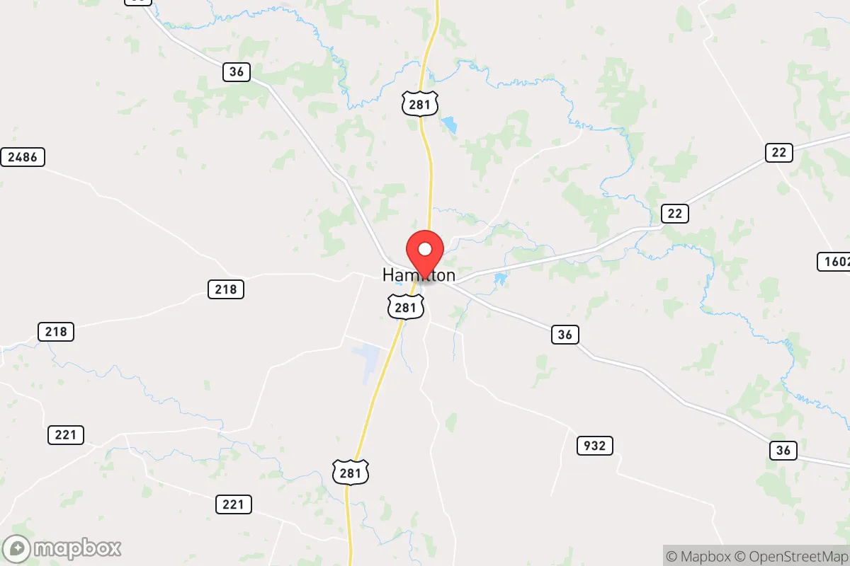
Hamilton, Texas, presents a compelling case for the relocation-minded reader who prioritizes resilience and self-sufficiency, offering a blend of geographic isolation and practical advantages that are rare in modern Texas. Situated roughly 80 miles southwest of Fort Worth and 60 miles east of Abilene, this small town of roughly 3,000 residents sits at the intersection of U.S. Highway 281 and State Highway 36, placing it far enough from major metropolitan centers to avoid the worst of urban cascade failures while remaining accessible for supply runs or medical emergencies. The area's position in the Cross Timbers region, with its rolling hills, limestone bedrock, and reliable aquifer access, provides a natural buffer against many of the risks that plague coastal or prairie communities, making it a serious contender for anyone evaluating long-term preparedness.
Geographic position and natural advantages for long-term stability
Hamilton County sits atop the Trinity Aquifer, a major groundwater source that gives the area a significant edge over much of West Texas, where water scarcity is a chronic concern. The region's average annual rainfall of about 32 inches supports dryland farming and ranching without heavy irrigation, and the local topography—characterized by oak-juniper woodlands and limestone outcroppings—offers natural drainage that reduces flood risk compared to areas near the Brazos River basin to the east. The town itself is situated on a plateau, which provides natural defensibility: approach routes are limited to a few highways, and the surrounding rural landscape offers ample warning time for any unusual activity. For the relocator thinking about grid independence, the area's moderate wind speeds and high solar insolation (averaging 5.5 peak sun hours per day) make off-grid energy systems viable, and the prevalence of limestone caves and rock shelters in the region provides natural options for temperature-stable storage or shelter. The nearest major military installation is Fort Cavazos (formerly Fort Hood) about 70 miles south, which is a mixed factor—it provides a potential source of logistical support in a crisis but also represents a strategic target in a conflict scenario.
Risk exposure, natural hazards, and proximity to fallout-relevant landmarks
Hamilton's primary natural risks are typical for Central Texas: severe thunderstorms, hail, and the occasional tornado, though the area sits in a lower-risk zone compared to the Dallas-Fort Worth metroplex or the traditional Tornado Alley further north. The town has not experienced a direct hurricane impact in recorded history, and the risk of wildfire is moderate, concentrated in the juniper-heavy rangelands during drought years. The more significant concern for the resilience-minded relocator is proximity to man-made risks. Hamilton lies about 120 miles from the Comanche Peak Nuclear Power Plant near Glen Rose, which is within the 50-mile ingestion pathway zone but outside the 10-mile plume exposure pathway—meaning a catastrophic release would likely not require evacuation, but fallout could reach the area depending on wind patterns. The town is also roughly 150 miles from the Pantex nuclear weapons assembly plant near Amarillo, a high-value target in any conflict scenario. More immediately, Hamilton sits along the I-35 corridor's secondary routes, which means it could see refugee traffic from San Antonio or Austin in a crisis, though the town's small size and limited through-traffic reduce the likelihood of becoming a chokepoint. The nearest major rail line carrying hazardous materials is the BNSF line through Brownwood, about 30 miles west, which is a moderate concern for chemical spills or derailments.
Practical resilience for a relocator: food, water, energy, and defensibility
For the relocator serious about self-sufficiency, Hamilton offers a strong baseline. The local water utility draws from the Trinity Aquifer and has a history of reliable service, but the real advantage is the ability to drill a private well—depths in the county typically range from 100 to 300 feet, with yields of 10-30 gallons per minute, sufficient for a household and small-scale agriculture. The county's agricultural base is dominated by cattle ranching and hay production, with smaller operations in pecans, peaches, and row crops, meaning local food sources are available through farmers' markets and direct ranch sales. The Hamilton Feed Store and several local co-ops provide access to seeds, livestock supplies, and farming equipment. For energy, the area is served by the Brazos Electric Power Cooperative, which has a mixed reliability record during winter storms (notably the 2021 blackouts), but the low population density means that individual solar-plus-battery systems are practical and permitted without excessive regulation. Defensibility is a strong point: the town's layout is compact, with a central square and residential areas radiating outward, and the surrounding ranchland provides clear sightlines. The Hamilton County Sheriff's Office maintains a visible presence, and the local gun culture is robust, with multiple firearms dealers and a shooting range within 15 miles. However, the town's small size means that a determined threat could overwhelm local law enforcement quickly, so community-based security networks are a practical consideration for serious preppers.
The overall strategic picture for Hamilton is one of balanced resilience: it avoids the extreme risks of coastal or border areas while offering genuine advantages in water, energy, and defensibility that are hard to find in more populated parts of Texas. The town's distance from major cities and strategic targets reduces its exposure to the worst-case scenarios, but it is not immune to natural hazards or the ripple effects of regional crises. For the relocator who values quiet self-sufficiency over urban convenience, Hamilton provides a solid foundation—just be prepared for the trade-offs: limited healthcare access (the nearest hospital is in Stephenville, 25 miles north), a small tax base that means slower emergency response times, and a social environment that expects self-reliance rather than government support. If you're looking for a place to ride out the coming decades with a reasonable balance of risk and reward, Hamilton earns a serious look.

* Values derived from national, state, county, city and local statistics and may differ in a specific area. Last updated: 2026-10-27T12:34:14.000Z
Narrative content on this page is AI-generated and may contain mistakes. Verify any details that matter before acting on them.
ReloMaps may earn a commission from affiliate links at no extra cost to you.

