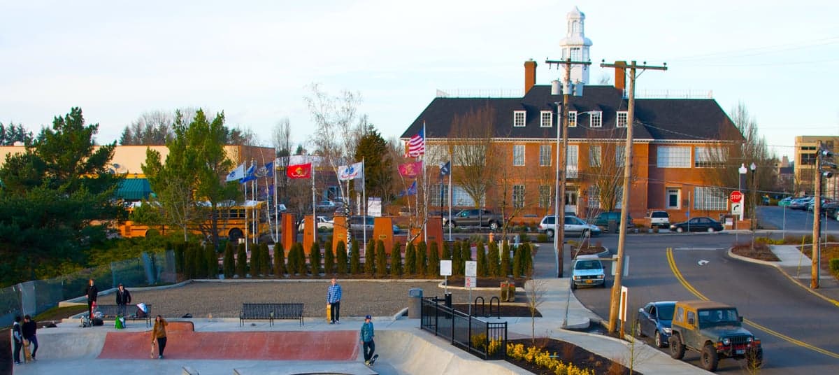
Photo: Wikipedia
Strategic Assessment of Gresham, OR
Multiple tactical vulnerabilities. Population density, target proximity, or disaster risk are likely compounding. A retreat property and exit planning is required.
What does the Strategic Assessment tell us?
Our Strategic Assessment grades tactical survivability of an area. Major population centers, military targets, fallout zones, natural disasters, and border exposure all drive risk — lower exposure means a more defensible position in a crisis.
This is heavily inspired by Joel Skousen's Strategic Relocation book. Highly recommended you checkout the book ($)What does this tell us?
Our Strategic Assessment grades tactical survivability of an area. Major population centers, military targets, fallout zones, natural disasters, and border exposure all drive risk — lower exposure means a more defensible position in a crisis.
This is heavily inspired by Joel Skousen's Strategic Relocation book. Highly recommended you checkout the book ($)Strategic Pillars

Key Distances
Regional Safe Places
Below is our recommended "safe zones" in Oregon and the surrounding area based on our strategic heuristics. For most people, it's unrealistic to live in a “safe zone” full-time due to work, family or other personal reasons. They tend to be more rural. However, many of these areas are perfect for second homes and retreat properties that double as a vacation home or even a short-term rental.


Important Note: For informational purposes only. This does not mean nothing bad ever happens in the green zones. Please use common sense. This is based on public data and modeled with AI. We tried to take a conservative approach but mistakes happen. We update this regularly as new information becomes available.
Solar Generator Recommendations
Backup power matters more here than in safer locations. We've picked three solar generators across budgets and capacity tiers — start with the budget unit if you only need a few essentials, or step up if you want to run a fridge and HVAC for days at a time.

Jackery Portable Power Station Explorer 300
Budget OptionPower on the Go: Weighing only 11 lbs, it's convenient to set up and store with book-sized foldable solar panels

BLUETTI Portable Power Station AC180
Designed for both indoor and outdoor scenarios, AC180 is highly capable as it has a robost capacity and continuous output power.

EF ECOFLOW DELTA Pro Ultra Power Station
Upgraded PickEcoFlow DELTA Pro Ultra is a whole-home energy system designed to grow with your family. Integrated with the Smart Home Panel 2, it scales to meet your evolving energy needs — keeping your home powered, intelligent, and secure through every stage of life.
We earn a commission, at no additional cost to you.
Strategic Assessment Analysis
Gresham, Oregon, sits at a strategic inflection point for the resilience-minded relocator. As the eastern anchor of the Portland metro area, it offers a blend of suburban infrastructure and proximity to the Cascade Range that few other cities in the Pacific Northwest can match. For someone weighing disaster readiness and long-term self-sufficiency, Gresham’s position provides both notable advantages and serious liabilities—chiefly its proximity to Portland’s urban core and the associated fallout risks from civil unrest, infrastructure failure, or a major event. The key is understanding where the city’s resilience ends and where its exposure begins.
Geographic position and natural advantages for long-term stability
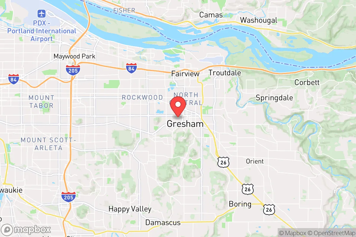
Gresham occupies a unique slot at the western edge of the Columbia River Gorge, roughly 15 miles east of downtown Portland. This placement gives residents relatively quick access to the gorge’s wind corridor, the Mount Hood National Forest, and the Sandy River drainage—all of which are critical for water, timber, and potential retreat routes. The city sits at an elevation of about 300 to 600 feet, which places it above the worst of the Willamette Valley’s floodplains. The Sandy River and the Columbia River form natural boundaries to the north and east, creating a semi-defensible wedge if one considers a worst-case grid-down scenario. The nearby Bull Run Watershed, which supplies Portland’s drinking water, originates in the protected forests to the southeast, meaning Gresham is downstream of a high-quality, gravity-fed water source. For a relocator thinking about water security, this is a tangible asset—though access to that water in a crisis would depend on infrastructure integrity and local governance. The climate is mild by continental standards, with annual rainfall around 40 inches, which supports year-round gardening and passive water catchment without the deep freezes of the interior West.
Risks, exposures, and proximity to fallout-relevant landmarks
The single greatest vulnerability for Gresham is its location within the Portland metropolitan statistical area. In the event of a major earthquake on the Cascadia subduction zone, the city would face liquefaction risks in its low-lying northern sections near the Columbia, though much of Gresham’s built environment sits on more stable basalt and sedimentary deposits than Portland’s west side. The real concern is the human factor: Gresham’s population of roughly 115,000 is tightly linked to Portland’s supply chains, power grid, and emergency services. A Cascadia event would likely sever road connections west via I-84 and I-205, and the city’s reliance on the Portland metro for fuel, medical supplies, and food distribution would become a critical bottleneck. Beyond natural hazards, Gresham’s proximity to Portland’s urban core—a region that has experienced significant civil unrest and property crime spikes since 2020—means that any prolonged disruption could trigger population displacement eastward. The city is also within 30 miles of the Portland International Airport, a major transportation hub that would be a secondary target in any conflict scenario. For the conservative-leaning relocator, the political and cultural dynamics of Multnomah County (which governs Gresham) add another layer: local policies on policing, land use, and emergency management may not align with a self-sufficiency mindset. The county’s property crime rate in 2023 was roughly 40% above the national average, and while Gresham’s own numbers are lower than Portland’s, the trend is worth noting for anyone prioritizing defensibility.
Practical resilience for a relocator: food, water, energy, and defensibility
On the practical side, Gresham offers several concrete advantages for a household aiming to build resilience. The city’s water supply comes primarily from the Bull Run Watershed via the Portland Water Bureau, which is gravity-fed and filtered naturally—meaning it would continue flowing even without power, at least until pipes break or contamination occurs. Many homes in Gresham’s older neighborhoods have basements and crawl spaces suitable for water storage, and the high water table in parts of the city makes well drilling feasible on larger lots, though permits and groundwater rights are controlled by the state. For food production, Gresham’s growing season runs from April to October, and the city’s zoning allows for backyard chickens, bees, and small livestock on standard residential lots. The Gresham Farmers Market and local CSAs provide access to regional produce, but the real value is in the surrounding agricultural land: the Sandy River delta and the Hood River Valley are within an hour’s drive, offering potential barter networks and bulk purchasing. Energy resilience is mixed. Portland General Electric serves the area, and outages are common during winter storms and wind events—typically lasting 4 to 12 hours, though the 2021 ice storm left some areas without power for over a week. Solar potential is moderate due to cloud cover, but net metering is available, and battery storage is becoming more common. Natural gas is piped into most neighborhoods, which provides a backup for heating and cooking if the grid fails, though gas lines themselves are vulnerable to earthquake damage. Defensibility is where Gresham falls short compared to a more rural location. The city is laid out on a grid with multiple arterial roads, making it difficult to secure a perimeter. However, neighborhoods east of 182nd Avenue and south of Powell Valley Road offer larger lots, cul-de-sacs, and tree cover that improve situational security. The nearby Mount Hood National Forest provides a potential bug-out destination, but the routes (US-26 and I-84) would be choked with traffic in any evacuation scenario.
The overall strategic picture for Gresham is one of calculated trade-offs. It is not a remote redoubt, nor is it a high-risk urban core. For the relocator who wants to maintain a professional job in the Portland metro while building a resilient household, Gresham offers a workable middle ground—provided you invest in your own water storage, backup power, and food production capacity. The city’s natural setting, with its access to the gorge and the Cascades, gives it a geographic buffer that downtown Portland lacks. But the dependence on Multnomah County governance and the proximity to a major population center mean that Gresham’s resilience is ultimately tied to the stability of the broader region. If you are willing to treat the city as a base camp rather than a fortress—and to develop the skills and supplies to operate independently for weeks at a time—it can serve as a launch point for deeper self-sufficiency in the Pacific Northwest. Just don’t mistake its suburban comforts for true isolation.

* Values derived from national, state, county, city and local statistics and may differ in a specific area. Last updated: 2026-06-14T10:21:58.000Z
Narrative content on this page is AI-generated and may contain mistakes. Verify any details that matter before acting on them.
ReloMaps may earn a commission from affiliate links at no extra cost to you.

