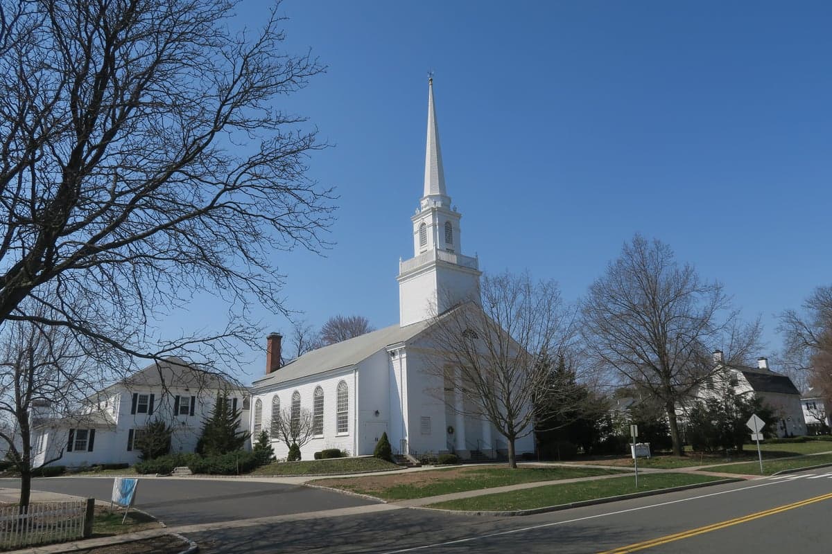
Photo: Wikipedia
Strategic Assessment of Glastonbury, CT
Meaningful friction. Expect exposure to either population pressure, blast zones, or natural disaster risk. Consider buying a retreat property.
What does the Strategic Assessment tell us?
Our Strategic Assessment grades tactical survivability of an area. Major population centers, military targets, fallout zones, natural disasters, and border exposure all drive risk — lower exposure means a more defensible position in a crisis.
This is heavily inspired by Joel Skousen's Strategic Relocation book. Highly recommended you checkout the book ($)What does this tell us?
Our Strategic Assessment grades tactical survivability of an area. Major population centers, military targets, fallout zones, natural disasters, and border exposure all drive risk — lower exposure means a more defensible position in a crisis.
This is heavily inspired by Joel Skousen's Strategic Relocation book. Highly recommended you checkout the book ($)Strategic Pillars

Key Distances
Regional Safe Places
Below is our recommended "safe zones" in Connecticut and the surrounding area based on our strategic heuristics. For most people, it's unrealistic to live in a “safe zone” full-time due to work, family or other personal reasons. They tend to be more rural. However, many of these areas are perfect for second homes and retreat properties that double as a vacation home or even a short-term rental.
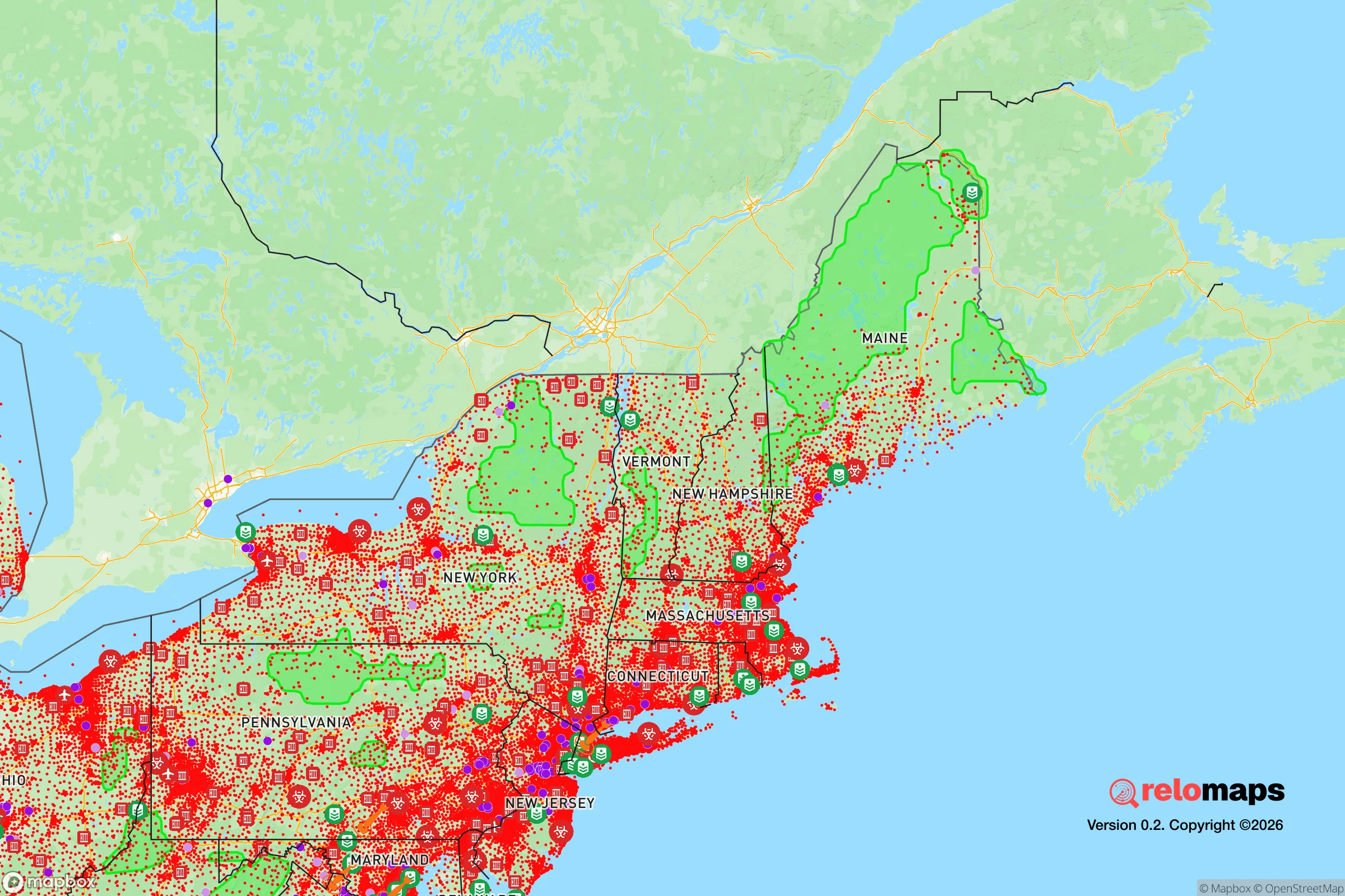
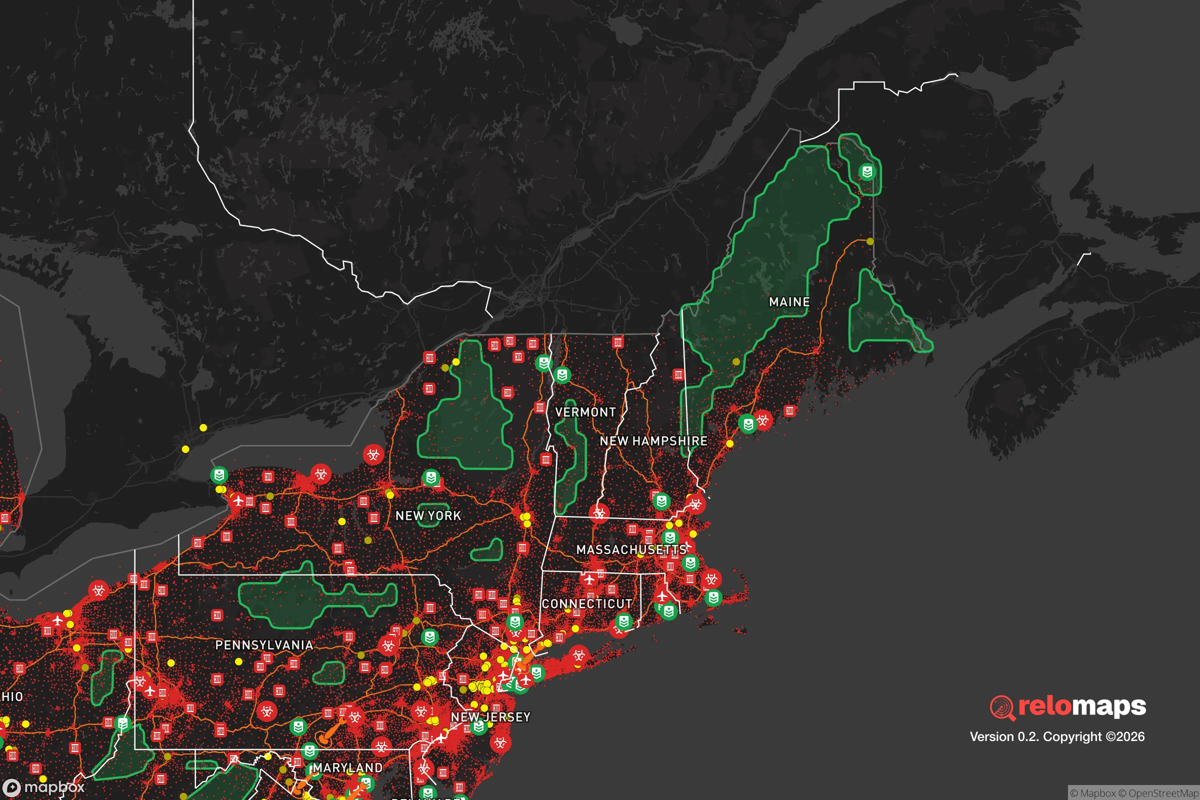


Important Note: For informational purposes only. This does not mean nothing bad ever happens in the green zones. Please use common sense. This is based on public data and modeled with AI. We tried to take a conservative approach but mistakes happen. We update this regularly as new information becomes available.
Solar Generator Recommendations
Backup power matters more here than in safer locations. We've picked three solar generators across budgets and capacity tiers — start with the budget unit if you only need a few essentials, or step up if you want to run a fridge and HVAC for days at a time.
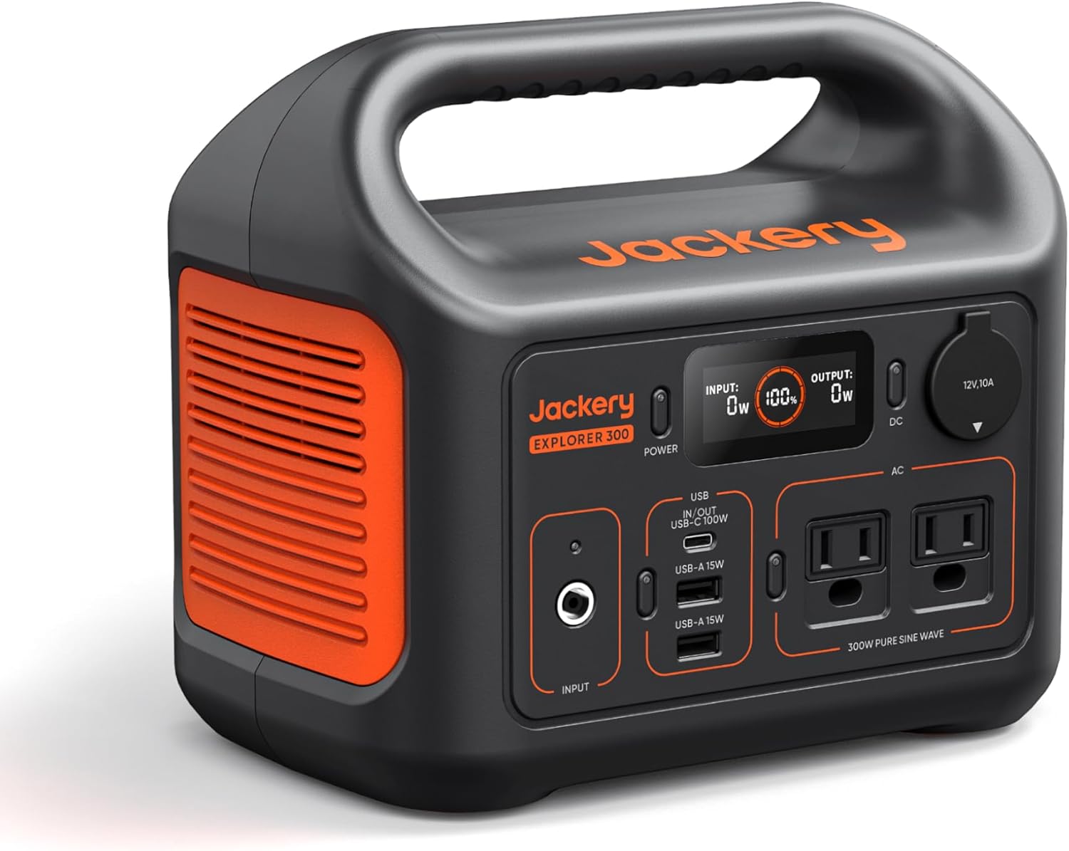
Jackery Portable Power Station Explorer 300
Budget OptionPower on the Go: Weighing only 11 lbs, it's convenient to set up and store with book-sized foldable solar panels

BLUETTI Portable Power Station AC180
Designed for both indoor and outdoor scenarios, AC180 is highly capable as it has a robost capacity and continuous output power.

EF ECOFLOW DELTA Pro Ultra Power Station
Upgraded PickEcoFlow DELTA Pro Ultra is a whole-home energy system designed to grow with your family. Integrated with the Smart Home Panel 2, it scales to meet your evolving energy needs — keeping your home powered, intelligent, and secure through every stage of life.
We earn a commission, at no additional cost to you.
Strategic Assessment Analysis
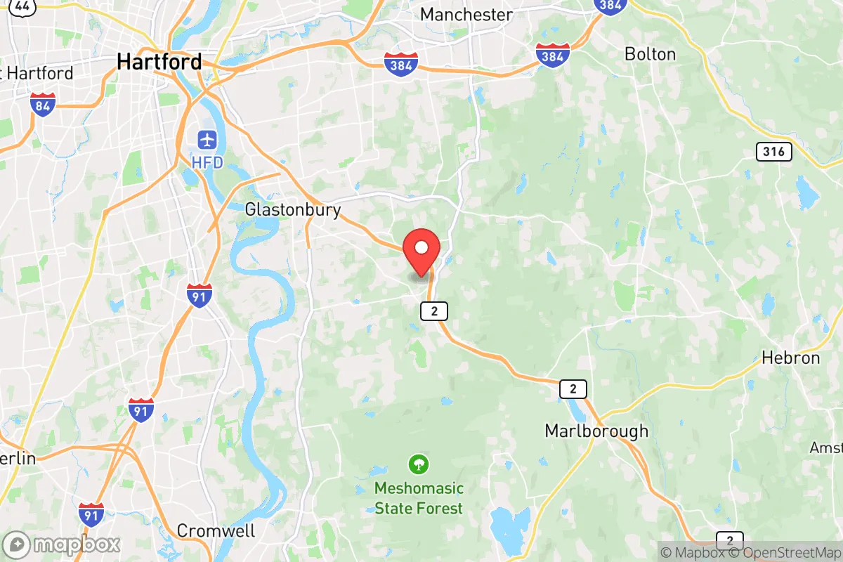
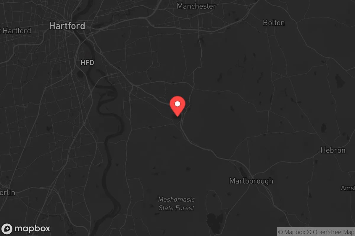
Glastonbury, Connecticut sits in the north-central part of the state along the Connecticut River, roughly 10 miles southeast of Hartford, and it earns high marks for resilience on several fronts: no Atlantic coastline, no major fault line, low wildfire risk, and a diversified local economy anchored by Hartford-area insurance and healthcare employers. The town of about 35,000 is one of the wealthier communities in the state, with a median household income well above $100,000, which translates into well-funded emergency services and infrastructure. For a reader thinking seriously about disaster readiness, Glastonbury is a solid but not exceptional choice — strong on natural-risk avoidance and local capacity, weaker on isolation from urban fallout zones and on self-sufficiency in food and energy.
Geographic position and natural advantages of Glastonbury, CT
Glastonbury occupies the east bank of the Connecticut River, with the river forming its western boundary and the Meshomasic State Forest and rolling trap-rock ridges to the east and south. That topography matters: the town sits inland enough — about 35 miles from Long Island Sound — to avoid direct hurricane storm surge, which is the single largest catastrophic risk for Connecticut's coastline communities like Milford and Stratford. The Connecticut River does flood low-lying areas near the riverfront (the town has dealt with repeated flooding in the Naubuc and Welles Street areas), but the bulk of residential Glastonbury sits on higher ground well above the floodplain. Earthquake risk is low, wildfire risk is modest given the humid climate and deciduous forest, and the town has no history of significant tornado activity. Water is a genuine asset: the Connecticut River and the town's reservoirs provide abundant surface water, and the regional aquifer is productive. The climate is temperate with four distinct seasons, meaning no chronic drought stress and reliable rainfall for gardening and small-scale agriculture.
Risks, exposures, and proximity to fallout-relevant landmarks
The main strategic liability is proximity to Hartford and its surrounding infrastructure. Hartford is 10 miles northwest, and the Hartford–Springfield corridor contains a concentration of potential fallout-relevant targets: the Pratt & Whitney and Sikorsky aircraft engine facilities (East Hartford and Stratford), Electric Boat's submarine yards downstate in Groton, and the Millstone nuclear plant on the coast near Waterford, about 45 miles southeast. Glastonbury itself is not a target, but prevailing winds and its position within 10–15 miles of Hartford mean that a major urban event would put the town in a downwind fallout planning zone rather than a blast zone. The town also sits astride major transportation corridors — Route 2, Route 3, and Interstate 84 nearby — which are evacuation routes but also potential chokepoints and vectors for displaced populations. Winter nor'easters and ice storms are the most likely disruptive events, capable of multi-day power outages; Tropical Storm Isaias in 2020 left much of the town without power for days. The Connecticut River flooding risk is real but localized. On balance, Glastonbury's exposure is moderate: it avoids the worst natural hazards but cannot escape its position in the Hartford metro's shadow.
Practical resilience for a relocator: food, water, energy, and defensibility
Glastonbury scores well on local institutional capacity and moderately on household self-sufficiency. The town has its own police department, a career and volunteer fire department, and a well-regarded hospital nearby (Hartford Hospital and Manchester Memorial are both within 15 minutes). Water comes from a mix of municipal supply and private wells in the outlying sections, and the town's reservoirs and the river give backup surface water options. Food is the weak point: like most of suburban Connecticut, Glastonbury depends on grocery chains (Stop & Shop, Big Y, Whole Foods) with limited local agricultural production, though the town has a working orchard (Belltown Hill Orchards nearby in South Glastonbury) and several farm stands, and the climate supports serious home gardening. Energy is grid-dependent — Eversource serves the area — with natural gas and heating oil common; solar adoption is growing but not dominant. Defensibility is a mixed picture: large-lot zoning in the eastern and southern sections offers space and privacy, but the town's road network is open and its proximity to Hartford means any regional crisis would bring traffic and demand through town. Households that prioritize resilience should look at the larger lots east of Route 2, near the Meshomasic State Forest, where well water, septic, and acreage for gardens and wood heat are realistic.
The strategic picture for Glastonbury is that of a well-resourced, low-natural-hazard suburb with strong local services but limited isolation and real dependence on regional infrastructure. It is a good base for a family that wants good schools, low crime, and competent emergency management, and a reasonable one for a preparedness-minded household willing to invest in its own water, power, and food systems. It is not a remote retreat, and anyone whose priority is distance from urban fallout zones should weigh the Hartford proximity carefully. For most readers, Glastonbury represents a balanced, defensible choice — resilient against the likely risks, exposed to the unlikely ones, and best suited to households that build self-sufficiency on top of a solid civic foundation rather than in place of it.

* Values derived from national, state, county, city and local statistics and may differ in a specific area. Last updated: 2026-11-03T16:05:01.000Z
Narrative content on this page is AI-generated and may contain mistakes. Verify any details that matter before acting on them.
ReloMaps may earn a commission from affiliate links at no extra cost to you.

